Plizio Visual Lab
Kalinovik
ℹ️Practical info — Kalinovik
▾
🌤 Weather — 5 days
📍 Nearby
Sights nearby
💡 Tips
- Kalinovik is located on a high plateau; be prepared for strong winds and sudden weather shifts even in summer.
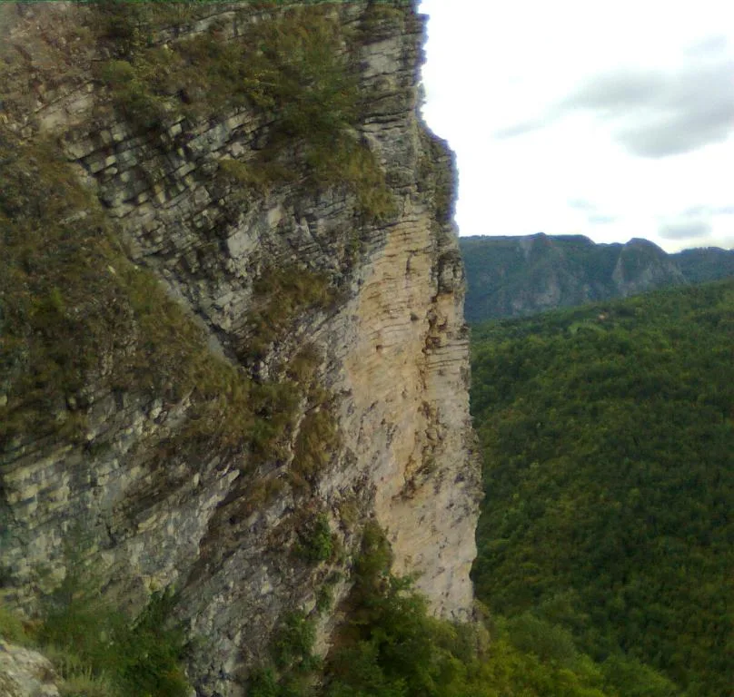
- Visit the Morine Plateau, often called 'European Tibet' due to its vast, treeless and desolate landscape.
- The area is the gateway to the Zelengora mountains, well-suited for hikers seeking solitary glacial lakes.
- Carry cash with you, as card payment options are very limited within the village and surrounding area.
🍽 Food
A strong sheep cheese aged in a sheepskin sack; it is the most famous local culinary specialty.
Halved potatoes roasted in the oven or embers, typically served with local ham and kajmak (cream).
Fried dough balls traditionally served for breakfast with honey or local cheese.
🛍 Shopping · 🧘 Quiet spots
Follow the 'Cheese and Honey Route' signs to buy products directly from the mountain farmers.
Honey from the high pastures of the Zelengora mountains is exceptionally aromatic and pure.
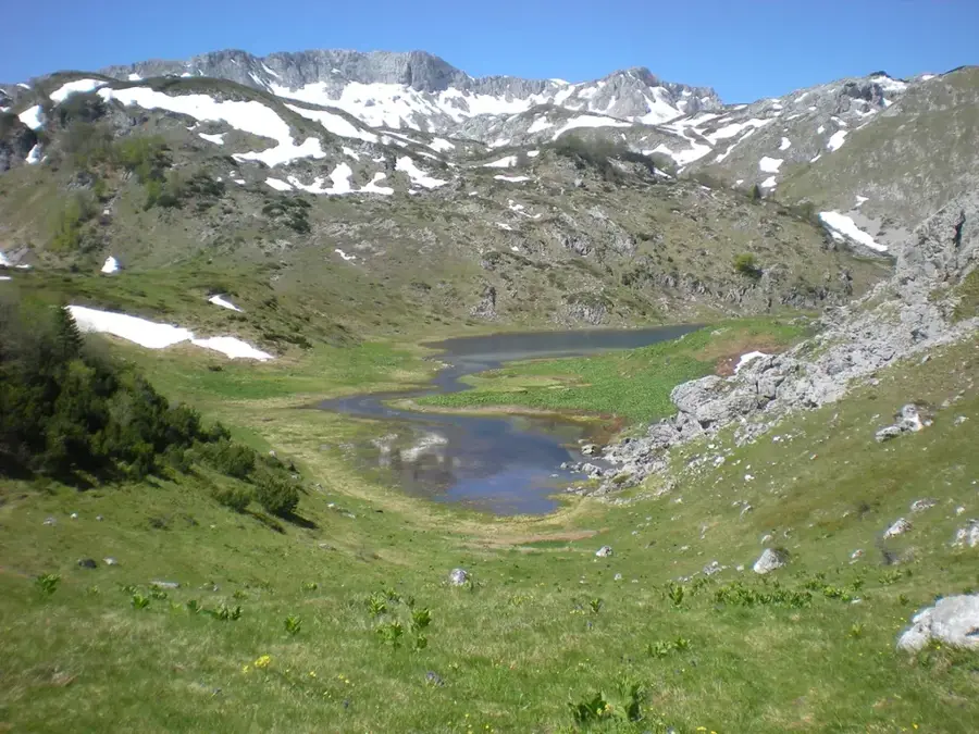
One of the most beautiful glacial lakes in Zelengora, offering absolute silence at 1,438m.
First-rate for long, meditative walks in a vast and almost uninhabited highland landscape.
Water temperature…
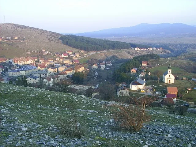
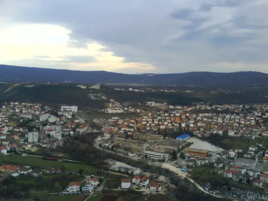
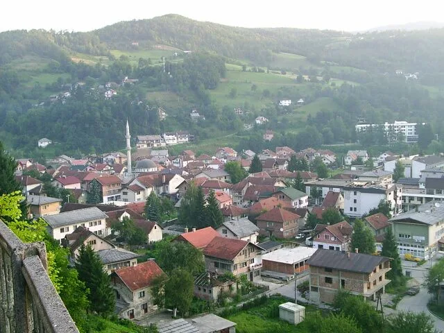
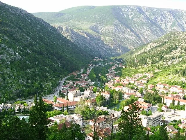
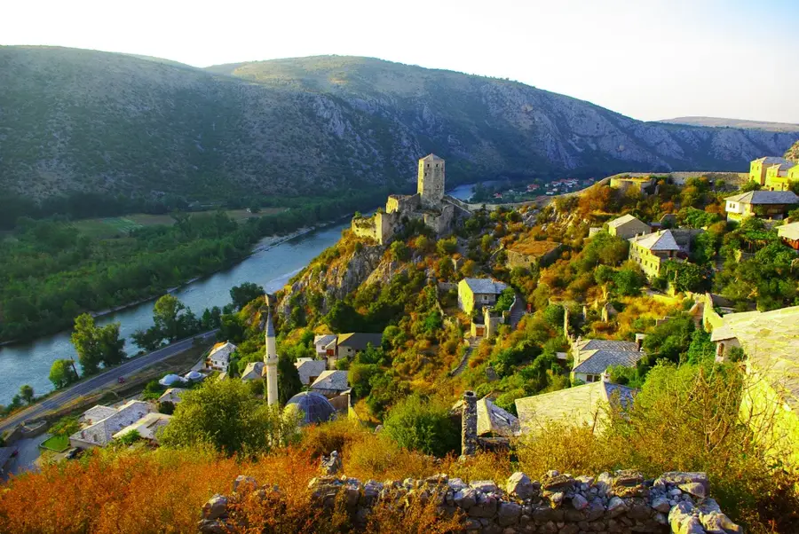
Kalinovik is a high-altitude small town in the Republika Srpska of southeastern Bosnia and Herzegovina, frequently referred to as the 'Bosnian Tibet.' Situated at an elevation exceeding 1,000 meters, it is encircled by the majestic mountain massifs of Zelengora, Lelija, and Treskavica. This geographical positioning grants the town an alpine climate characterized by cool summers and exceptionally snowy winters. Historically, Kalinovik served as a vital strategic military outpost, and the ruins of Austro-Hungarian fortifications in the vicinity remain as testament to its past importance. The local economy is primarily centered on forestry and livestock farming, with pristine mountain pastures yielding high-quality dairy products. For outdoor enthusiasts, Kalinovik provides access to some of the most spectacular sections of Sutjeska National Park and numerous glacial lakes. Despite its small population, the town maintains rich cultural traditions deeply intertwined with high-mountain living. Its relative isolation has helped preserve many traditional customs and the original karst architectural style of its dwellings.
- Location: Bosnia and Herzegovina
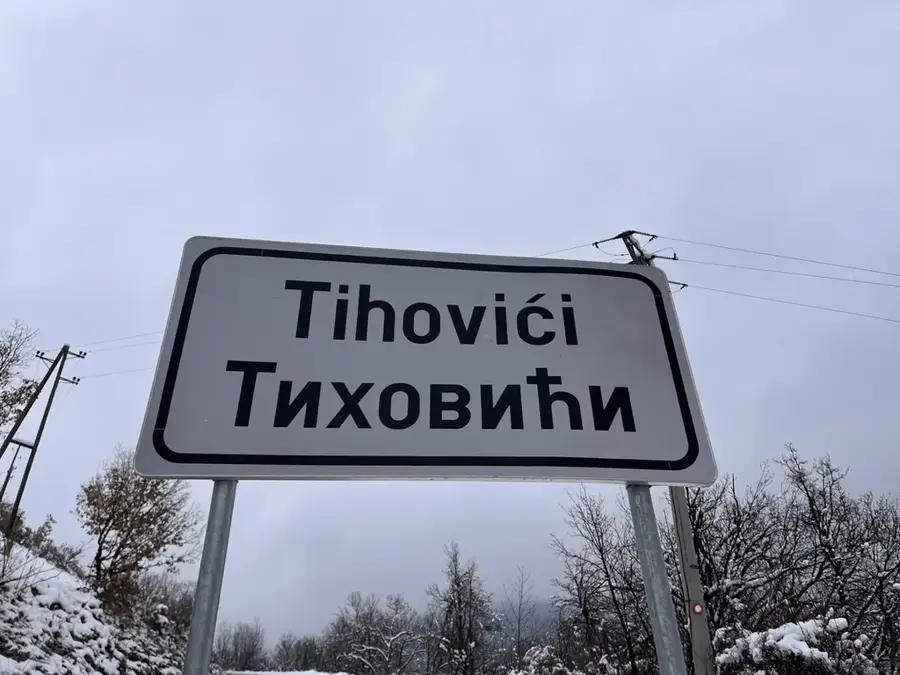
- Nearby: Istočno Trnovo (11 km)
- Population: ~1.095
Best time to visit & climate
The most pleasant time to visit is Jun–Aug.
| Jan | Feb | Mar | Apr | May | Jun | Jul | Aug | Sep | Oct | Nov | Dec | |
|---|---|---|---|---|---|---|---|---|---|---|---|---|
| Avg °C | -2 | -1 | 3 | 7 | 12 | 16 | 18 | 18 | 13 | 9 | 4 | -1 |
| Rain mm | 89 | 87 | 86 | 74 | 86 | 101 | 65 | 55 | 84 | 92 | 108 | 100 |
Geography
Facts
- Kalinovik is situated at an average elevation of approximately 1,070 meters.
- Mount Lelija, located to the south, reaches a peak elevation of 2,032 meters.
- The ruins of the Austro-Hungarian fortress Gradina date back to the late 19th century.
- The municipality's territory encompasses a significant portion of Sutjeska National Park.
- The Čengića Bara stećci necropolis, a UNESCO World Heritage site, is located nearby.
- Kalinovik is consistently ranked as one of the coldest inhabited places in the country.
Explore nearby
Notable places around
Route planner — Car & Motorhome
Where do you start? We build the route here, with stops and country notes along the way.
© OpenStreetMap contributors · OpenRouteService
Sights in the town Kalinovik (1)
Frequently asked questions
What is special about Kalinovik?
When is it worth visiting Kalinovik?
Are there historical buildings?
What is the weather like?
What can you see in Zelengora?
Kalinovik: where is it located?
Kalinovik: when is the best time to visit?
Kalinovik: why is it worth visiting?
Nearby cities


History & landmarks
Nature
More places