Plizio Visual Lab
Rakitnica Canyon
ℹ️Practical info — Rakitnica Canyon
▾
🌤 Weather — 5 days
📍 Nearby
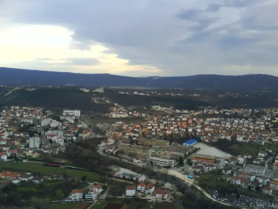
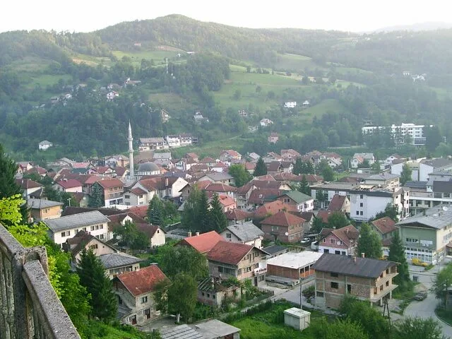
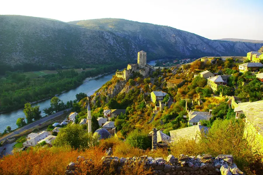
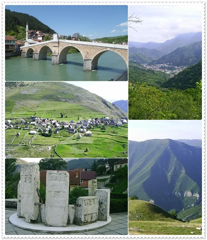
Sights nearby
💡 Tips
- Hiking the canyon floor is extreme; only do this with a guide and canyoning gear.
- For a safe view, hike the ridges of Visočica or Bjelašnica instead.
- Start early in the day; shadows fall quickly in the deep canyon.
- The nearby village of Umoljani is a great starting point for ridge hikes.
- Make noise on the trails to keep wildlife like bears and wolves at a distance.
🍽 Food
A traditional sheep cheese aged in an animal skin sack.
Enjoy this after a hike in a traditional village like Lukomir.
A warming meat and vegetable soup, great after a chilly mountain day.
🛍 Shopping · 🧘 Quiet spots
Hand-carved spoons or bowls, often sold in the surrounding villages.
Local products made from wild berries, available in Umoljani or Lukomir.
Sweeping, undisturbed views from the edge of the canyon.
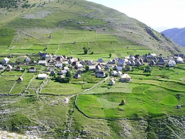
The highest and most isolated village in Bosnia, far from the hustle.
The 'cold stream' near Umoljani meanders peacefully through the valley.
Water temperature…
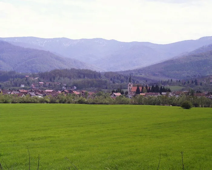
Rakitnica Canyon stretches for 26 kilometers and reaches depths of up to 800 meters, making it one of the deepest canyons in Europe. Carved between the Bjelašnica and Visočica mountains, it remains one of the most inaccessible regions in the Balkans. The ecosystem is remarkably preserved, hosting rare endemic plants and wildlife such as brown bears and chamois. Hikers often combine a trek through the canyon with a visit to Lukomir, Bosnia’s highest and most remote traditional village. The river water is crystal clear and potable, feeding numerous waterfalls and pools along the rugged route. Due to minimal tourist infrastructure, the canyon features an authentic wilderness experience for seasoned adventurers. The trails are physically demanding and require careful navigation through narrow passes and steep slopes. The best season for exploration is from May to October, when the mountain weather is most stable and the meadows are in full bloom. Local culinary experiences focus on hearty mountain fare, including traditional Bosnian pies and artisanal sheep cheese. Access from Sarajevo is typically through the Babin Do ski resort, followed by gravel roads that lead to the canyon's edge. It is a prime destination for nature enthusiasts seeking solitude and the raw power of geological formations far from the beaten path.
- Location: Bosnia and Herzegovina
- Nearby: Visočica (8 km)
Best time to visit & climate
The most pleasant time to visit is Jun–Aug.
| Jan | Feb | Mar | Apr | May | Jun | Jul | Aug | Sep | Oct | Nov | Dec | |
|---|---|---|---|---|---|---|---|---|---|---|---|---|
| Avg °C | -1 | -1 | 3 | 8 | 12 | 16 | 19 | 19 | 14 | 10 | 5 | 0 |
| Rain mm | 101 | 96 | 91 | 76 | 77 | 74 | 48 | 48 | 86 | 98 | 120 | 115 |
Geography
Facts
- 26 km total length
- Up to 800 m deep
- Potable river water
- Near Lukomir village
- Rare endemic species
- Challenging terrain
- Canyoning opportunities
- Pristine wilderness
Explore nearby
Notable places around
Route planner — Car & Motorhome
Where do you start? We build the route here, with stops and country notes along the way.
© OpenStreetMap contributors · OpenRouteService
Sights in the town Rakitnica Canyon (1)
Frequently asked questions
How deep is the Rakitnica Canyon?
Can you hike in the canyon?
When is the best time for a canyoning tour?
Is there an easier way to see the canyon?
Is fishing allowed in the Rakitnica river?
Rakitnica Canyon: where is it located?
Rakitnica Canyon: when is the best time to visit?
Rakitnica Canyon: why is it worth visiting?
Nearby cities