Plizio Visual Lab
Popovo Polje
Weather…
Water temperature…
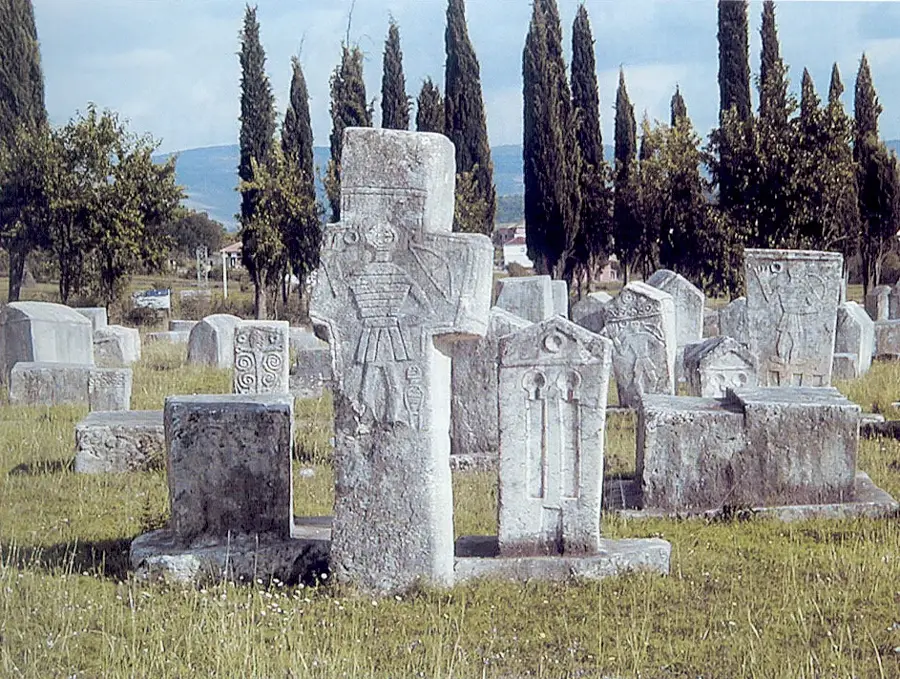
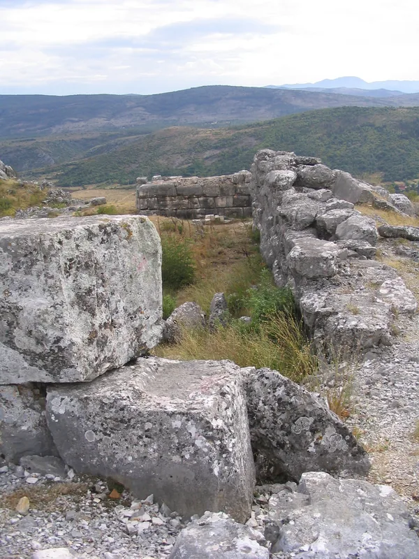
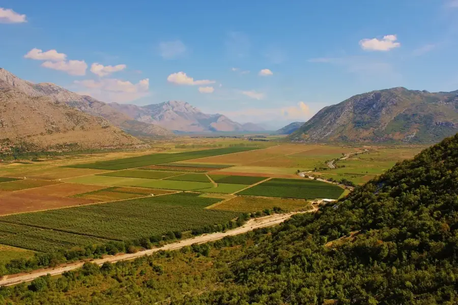
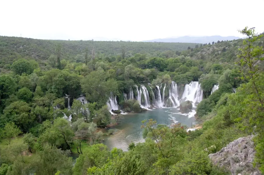
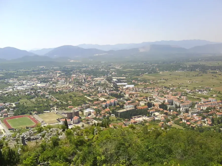
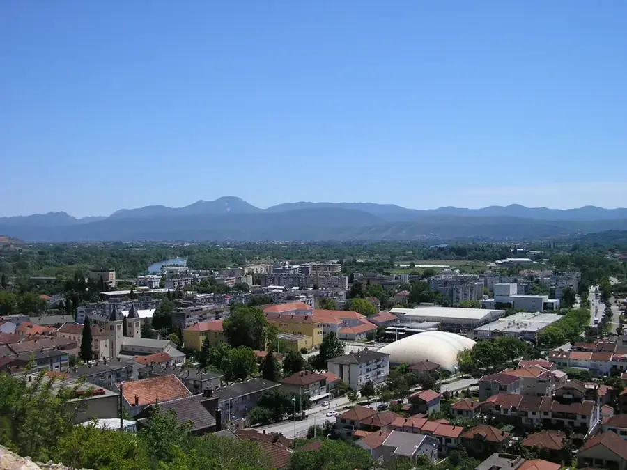
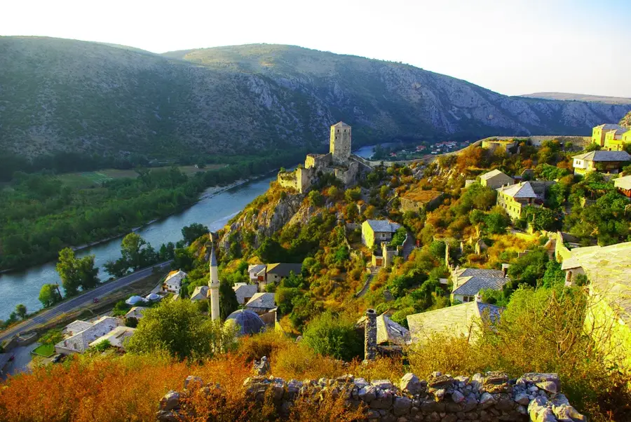
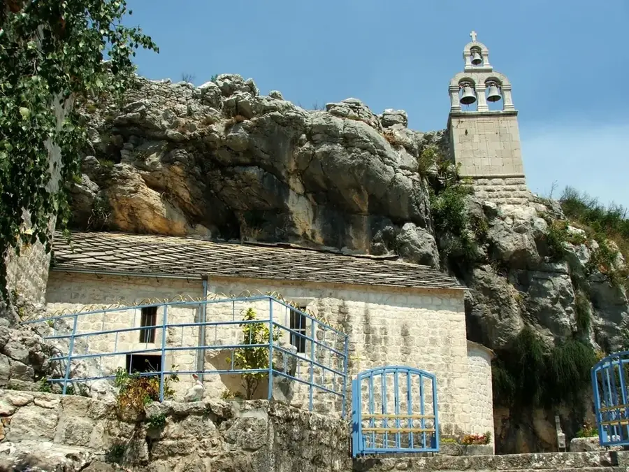
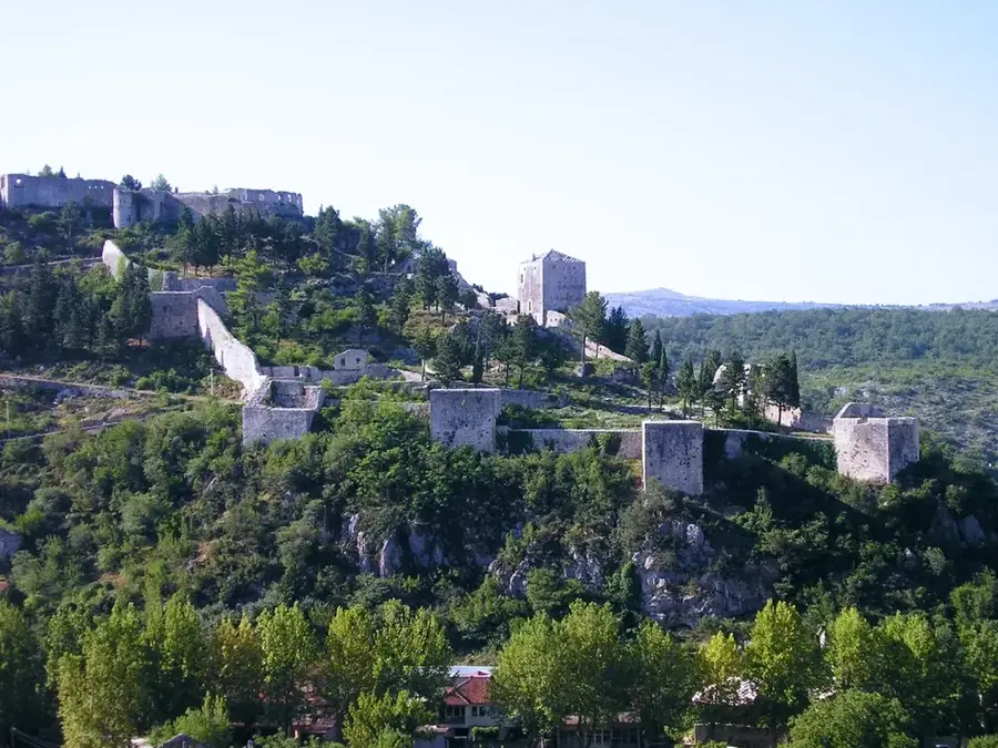
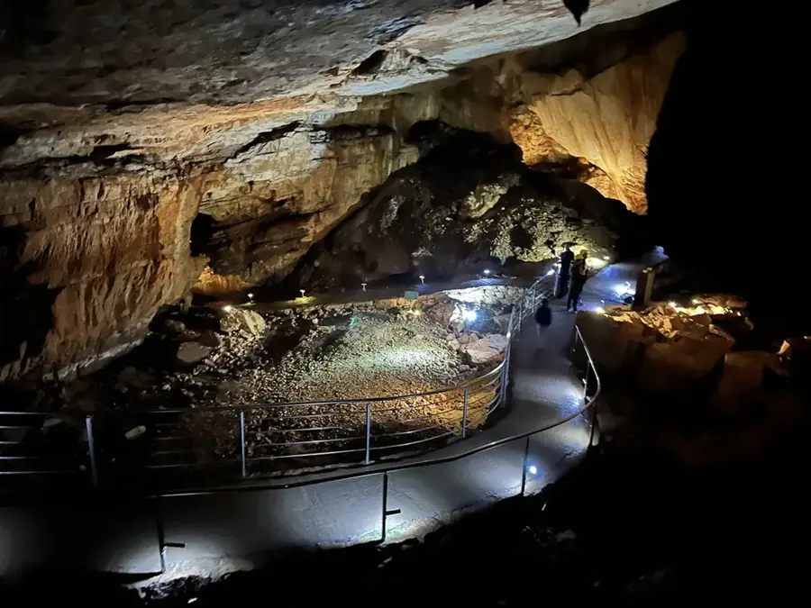
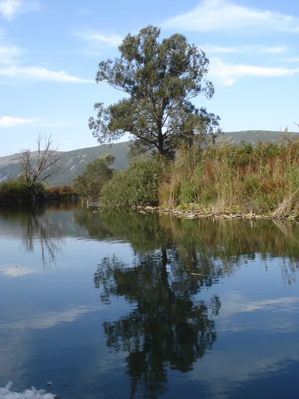
Popovo Polje is one of the largest and most significant karst fields in Bosnia and Herzegovina, situated in the southern part of the Herzegovina region near the Adriatic coast. Spanning approximately 180 square kilometers, the plain is renowned for its unique hydrological characteristics, primarily shaped by the Trebišnjica River, once the world's longest losing stream. Historically, the area has been a crucial agricultural hub due to its fertile alluvial soil, although it faced regular seasonal flooding until major reclamation projects were implemented in the mid-20th century. The field is home to important cultural landmarks such as the Zavala Monastery and the famous Vjetrenica cave, which is internationally recognized for its extraordinary subterranean biodiversity. Geologically, the depression is carved into limestone, resulting in a landscape dotted with swallow holes and complex cave systems that drain water toward the Adriatic Sea. Modern Popovo Polje serves as a vital corridor for infrastructure and remains a key area for Mediterranean crop production in the Dinaric Alps.
- Location: Bosnia and Herzegovina
- Top sights: Vjetrenica · Biospeleoloski muzej Vjetrenica
- Nearby: Neum (25 km)
Best time to visit & climate
The most pleasant time to visit is Jun–Aug.
| Jan | Feb | Mar | Apr | May | Jun | Jul | Aug | Sep | Oct | Nov | Dec | |
|---|---|---|---|---|---|---|---|---|---|---|---|---|
| Avg °C | 2 | 2 | 6 | 10 | 15 | 19 | 22 | 23 | 17 | 12 | 8 | 3 |
| Rain mm | 131 | 129 | 115 | 87 | 77 | 69 | 42 | 43 | 97 | 118 | 152 | 147 |
📋 Practical info
Geography
Facts
- The field's average elevation ranges between 200 and 250 meters above sea level.
- The Trebišnjica River originally flowed for 98 kilometers on the surface before being canalized.
- Vjetrenica Cave is home to over 200 recorded species, making it a biodiversity hotspot.
- Prior to modern irrigation projects, the plain could be flooded for up to seven months annually.
- The total length of the polje is approximately 31 kilometers, with a width of up to 3 kilometers.
- Zavala Monastery, dating back to the 13th century, is built into the cliffs overlooking the field.
Explore nearby
Notable places around
Route planner — Car & Motorhome
Where do you start? We build the route here, with stops and country notes along the way.
© OpenStreetMap contributors · OpenRouteService
Sights in the town Popovo Polje (2)
Sights nearby
Frequently asked questions
What is Popovo Polje?
Which river flows through it?
What famous cave is located here?
What is grown in Popovo Polje?
Is the area flooded in winter?
Popovo Polje: where is it located?
Popovo Polje: what is there to see?
Popovo Polje: when is the best time to visit?
Popovo Polje: why is it worth visiting?
Nearby cities


History & landmarks
Nature
More places