Plizio Visual Lab
Jablaničko Lake
Weather…
Water temperature…
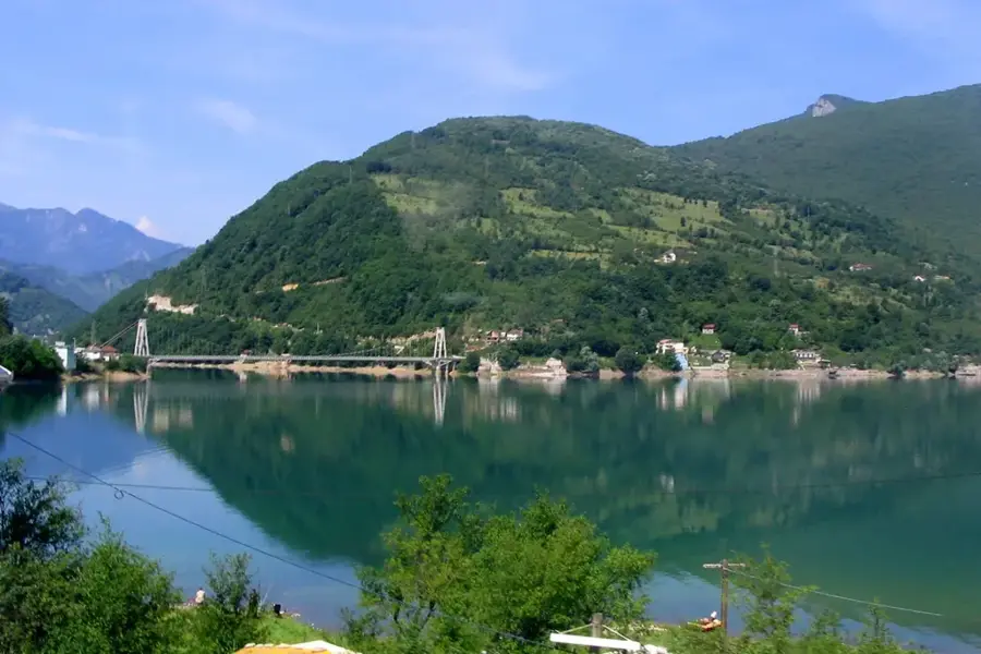
Jablaničko Lake is a large artificial reservoir situated on the Neretva River in Bosnia and Herzegovina. It was formed in 1953 following the construction of an 85-meter-high arch dam near the town of Jablanica for hydroelectric power generation. The lake stretches for about 30 kilometers, reaching from Jablanica in the south to almost Konjic in the north. At its highest water level, the surface area covers approximately 13 square kilometers, with a maximum depth of around 80 meters. Jablaničko Lake is a crucial economic asset for the region, as its hydroelectric power plant is one of the largest in the country. Beyond energy production, the lake has become a major hub for recreation, including swimming, boating, and fishing. The landscape is characterized by the steep slopes of the surrounding mountains, giving the lake a fjord-like appearance. The lake's ecological conditions are closely tied to the water level fluctuations dictated by the power plant's operations.
- Location: Bosnia and Herzegovina
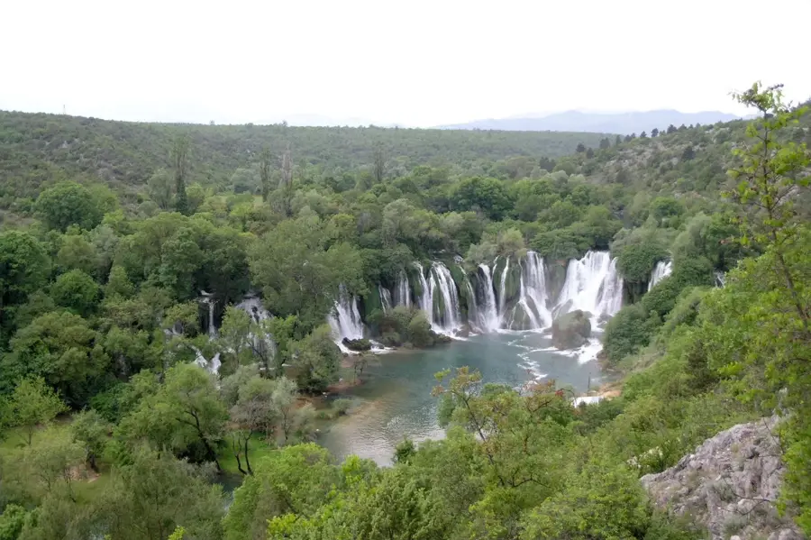
- Top sights: Kostajnica, Konjic · Neretvica · Bokševica
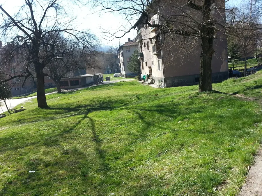
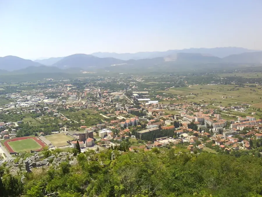
- Nearby: Jablanica (7 km)
Best time to visit & climate
The most pleasant time to visit is Jun–Aug.
| Jan | Feb | Mar | Apr | May | Jun | Jul | Aug | Sep | Oct | Nov | Dec | |
|---|---|---|---|---|---|---|---|---|---|---|---|---|
| Avg °C | -1 | -1 | 3 | 8 | 12 | 16 | 19 | 19 | 14 | 10 | 5 | 0 |
| Rain mm | 101 | 96 | 91 | 76 | 77 | 74 | 48 | 48 | 86 | 98 | 120 | 115 |
📋 Practical info
Geography
Facts
- Formed in 1953 by damming the Neretva River.
- The dam near Jablanica stands 85 meters tall.
- The lake spans a total length of approximately 30 kilometers.
- Its maximum depth reaches around 80 meters near the dam.
- The power plant generates about 770 GWh of electricity annually.
- The lake is inhabited by fish species such as carp and chub.
Explore nearby
Notable places around
Route planner — Car & Motorhome
Where do you start? We build the route here, with stops and country notes along the way.
© OpenStreetMap contributors · OpenRouteService
Sights in the town Jablaničko Lake (3)
Sights nearby
Frequently asked questions
What is Jablaničko Lake known for?
Is the lake natural or artificial?
What activities are available?
Are boat rentals available?
When is the best time to visit?
Jablaničko Lake: where is it located?
Jablaničko Lake: what is there to see?
Jablaničko Lake: when is the best time to visit?
Jablaničko Lake: why is it worth visiting?
Nearby cities