Plizio Visual Lab
Ivan Planina
Weather…
Water temperature…
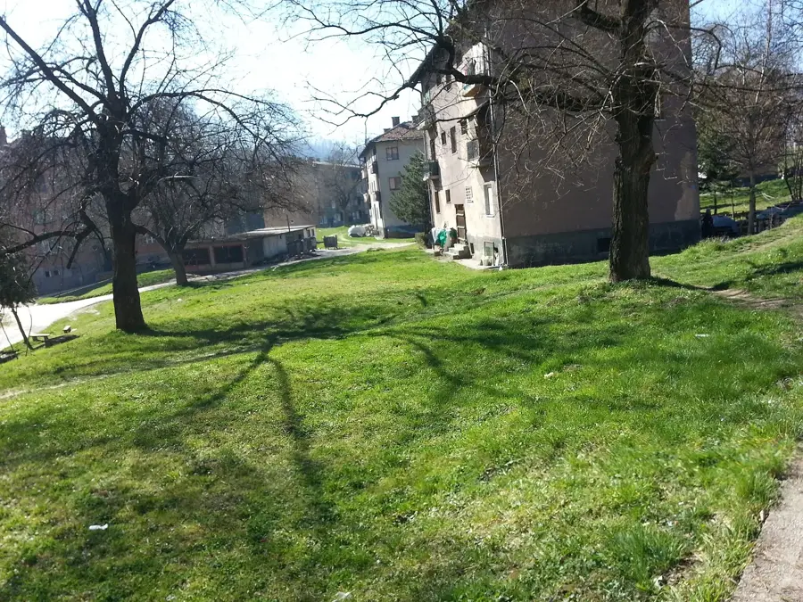
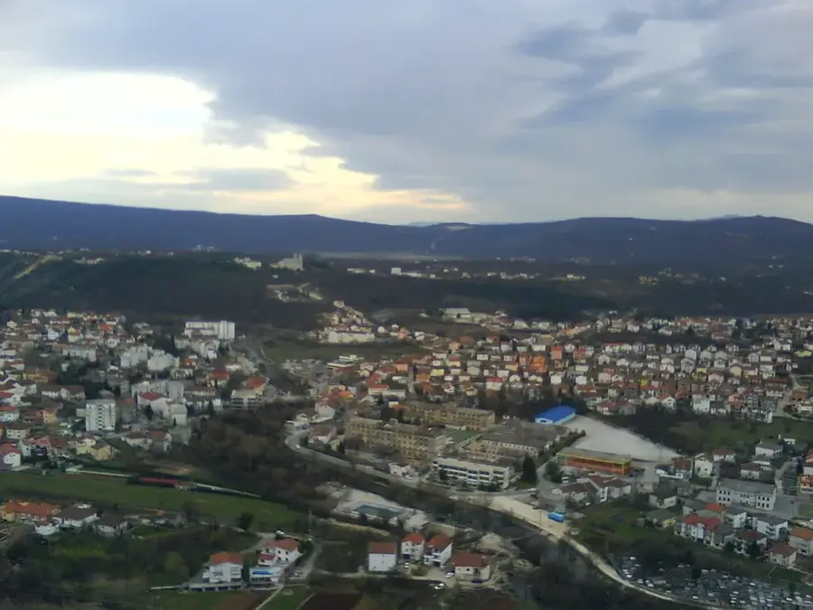
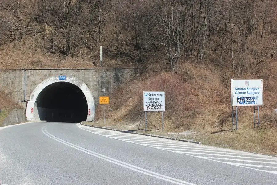
Ivan Planina is a strategically important mountain range in Central Bosnia, forming the natural watershed between the Adriatic Sea and the Black Sea. Its highest peak is Lupoglav, standing at 1,534 meters, offering broad views over the valleys of the Bosna and Neretva rivers. Historically, the mountain is primarily known for the Ivan Pass, which has been the most important connection between continental Bosnia and Mediterranean Herzegovina since antiquity. In the late 19th century, the Austrians built one of the first major railway tunnels here, revolutionizing transport in the region. Geologically, the mountain consists of a mix of limestone and schist, leading to a diverse landscape with rugged rocks and gentle forested slopes. The vegetation is lush, dominated by dense beech, oak, and fir forests that provide shelter for numerous animal species. Due to its central location, Ivan Planina is a popular recreational area for residents of Sarajevo and Konjic, who come here for hiking and winter skiing. The climate is variable, as cold air masses from the north meet the mild winds of the Adriatic here, often resulting in sudden fog formation.
- Location: Bosnia and Herzegovina
- Top sights: Vukovići (Hadžići) · Bradina, Konjic · Bradina massacre
- Nearby: Konjic (14 km)
Best time to visit & climate
The most pleasant time to visit is Jun–Aug.
| Jan | Feb | Mar | Apr | May | Jun | Jul | Aug | Sep | Oct | Nov | Dec | |
|---|---|---|---|---|---|---|---|---|---|---|---|---|
| Avg °C | -2 | -1 | 3 | 8 | 12 | 17 | 19 | 20 | 14 | 10 | 5 | 0 |
| Rain mm | 77 | 74 | 74 | 68 | 81 | 82 | 54 | 55 | 78 | 76 | 91 | 89 |
📋 Practical info
Geography
Facts
- The highest peak, Lupoglav, stands at 1,534 meters above sea level.
- The mountain separates the Danube river basin from the Neretva basin.
- The Ivan tunnel on the A1 motorway is over 2.8 km long.
- A famous narrow-gauge railway with rack sections used to operate here.
- The mountain is known for its abundant supplies of edible mushrooms.
- The average temperature at the pass in July is approximately 16 °C.
Explore nearby
Notable places around
Route planner — Car & Motorhome
Where do you start? We build the route here, with stops and country notes along the way.
© OpenStreetMap contributors · OpenRouteService
Sights in the town Ivan Planina (3)
Sights nearby
Frequently asked questions
What is the significance of Ivan Planina?
How high is the mountain?
Is there a tunnel?
Is it a popular hiking destination?
What is the vegetation like?
Ivan Planina: where is it located?
Ivan Planina: what is there to see?
Ivan Planina: when is the best time to visit?
Ivan Planina: why is it worth visiting?
Nearby cities