Plizio Visual Lab
Bosansko Grahovo
ℹ️Practical info — Bosansko Grahovo
▾
🌤 Weather — 5 days
📍 Nearby
Sights nearby
💡 Tips
- Visit Šator Lake (Šatorsko jezero) at 1,488m; the access road is rugged and requires a sturdy vehicle.
- Be prepared for a harsh mountain climate; even in peak summer, evenings can turn very chilly.
- Near the village of Resanovci, look for the Ledenica Cave, famous for its unique and lasting ice formations.
- Always carry Bosnian Marks (BAM) in cash, as card payments are rarely accepted in this remote region.
🍽 Food
Look for small roadside stalls; honey from the Grahovsko polje is highly regarded for its purity.
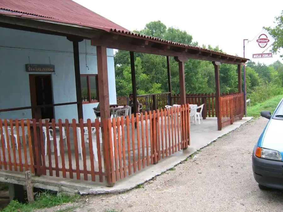
Try the rustic meat dishes at the small bistros located in the town center.
Ask in the mountain villages for local sheep cheese made using traditional methods.
🛍 Shopping · 🧘 Quiet spots
On the road towards Drvar, you'll find the best opportunities to buy fresh wildflower or sage honey.
Often available from elderly women in mountain villages; excellent as an authentic souvenir.
An incredibly peaceful glacial lake surrounded by dense forests and mountain peaks.
Solitary paths through the mountains, handy for hikers seeking total silence.
Water temperature…
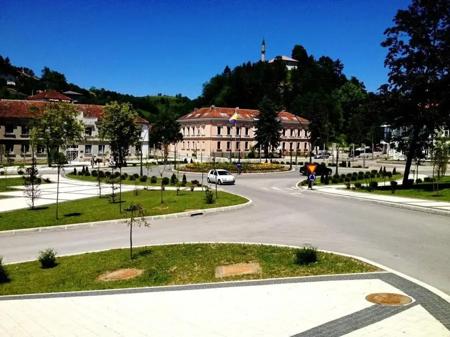
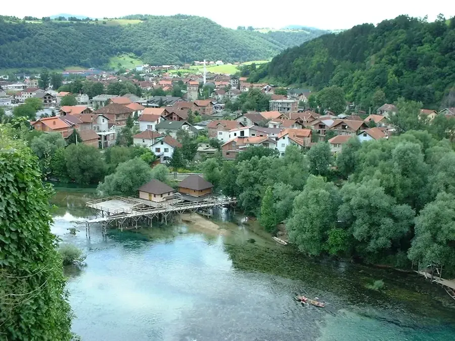
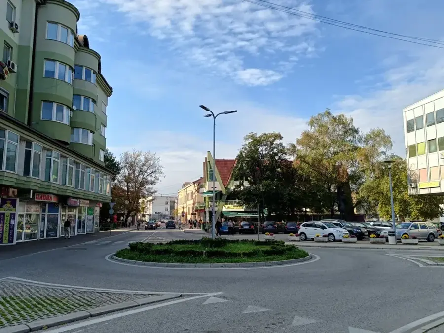
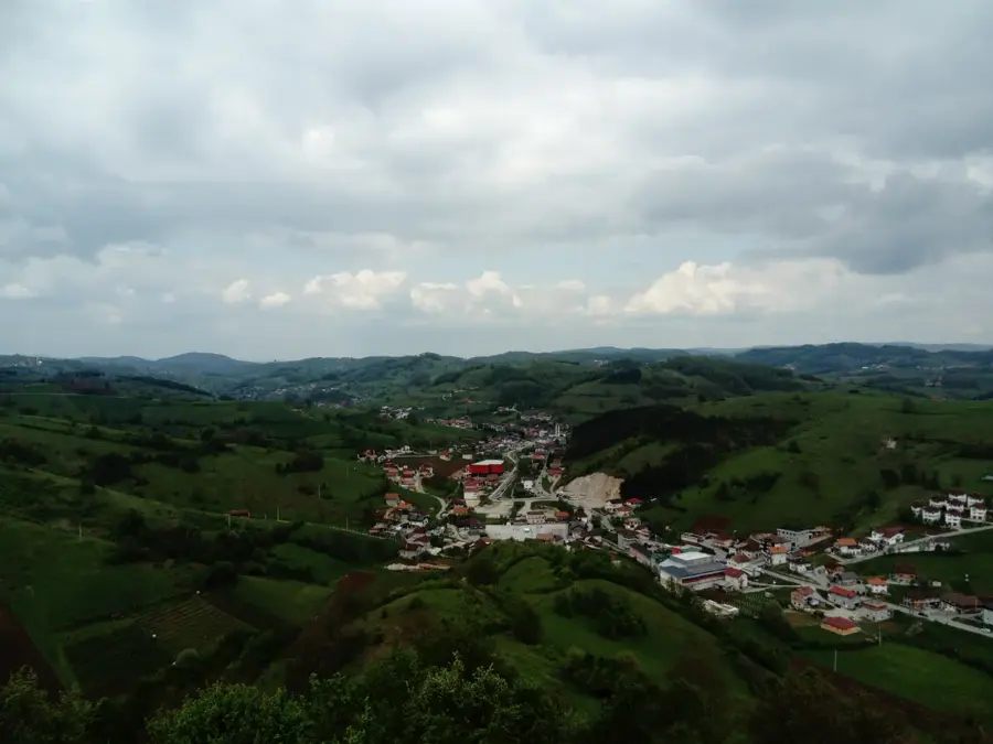
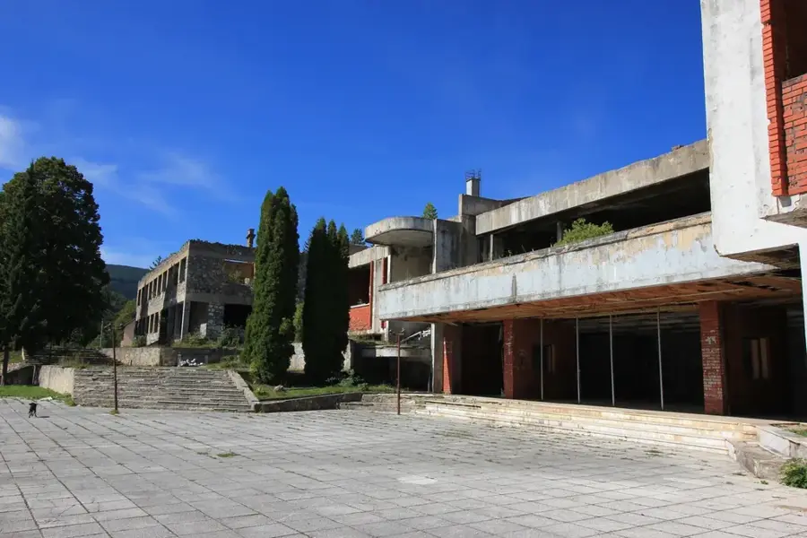
Bosansko Grahovo is a historically significant small town located in western Bosnia and Herzegovina, situated near the border with Croatia. The town lies on an expansive high plateau known as Grahovsko Polje, surrounded by the imposing peaks of the Dinara mountains and the Šator massif. Historically, the location is best known as the birthplace of Gavrilo Princip, whose assassination of Archduke Franz Ferdinand in Sarajevo served as the catalyst for World War I. During the Bosnian War in the 1990s, the town was the site of fierce military engagements and suffered extensive damage, leading to a dramatic decline in population. While reconstruction efforts have been gradual, the pristine natural surroundings now offer significant potential for ecotourism and outdoor activities such as hiking and mountaineering. The high-altitude climate is characterized by harsh, snowy winters and relatively short, cool summers. The rugged yet striking karst landscape defines the visual identity of the entire region.
- Location: Bosnia and Herzegovina
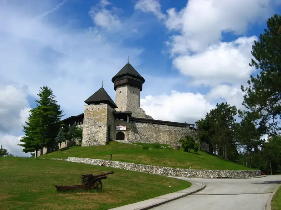
- Top sights: Birth house of Gavrilo Princip · Pećenačko jezero · Gradina
- Nearby: Drvar (22 km)
- Population: ~5.643
Best time to visit & climate
The most pleasant time to visit is Jun–Aug.
| Jan | Feb | Mar | Apr | May | Jun | Jul | Aug | Sep | Oct | Nov | Dec | |
|---|---|---|---|---|---|---|---|---|---|---|---|---|
| Avg °C | 1 | 2 | 6 | 10 | 15 | 19 | 22 | 22 | 17 | 12 | 8 | 3 |
| Rain mm | 91 | 86 | 74 | 70 | 69 | 59 | 39 | 52 | 95 | 94 | 125 | 110 |
Geography
Facts
- The birth house of Gavrilo Princip in the village of Obljaj is a key local landmark.
- The town is situated at an average elevation of approximately 861 meters.
- The nearby Šator Lake is located at an altitude of 1,488 meters on Mount Šator.
- Prior to the war, Bosansko Grahovo was a significant center for the timber industry.
- The municipality shares a direct border with the Split-Dalmatia County in Croatia.
- The region is currently among the most sparsely populated areas in Bosnia and Herzegovina.
Explore nearby
Notable places around
Route planner — Car & Motorhome
Where do you start? We build the route here, with stops and country notes along the way.
© OpenStreetMap contributors · OpenRouteService
Sights in the town Bosansko Grahovo (3)
Frequently asked questions
Who was Gavrilo Princip?
What is Šator Lake?
Where is the city located?
Is the region developed for tourism?
What is the climate like in winter?
Bosansko Grahovo: where is it located?
Bosansko Grahovo: what is there to see?
Bosansko Grahovo: when is the best time to visit?
Bosansko Grahovo: why is it worth visiting?
Nearby cities