Plizio Visual Lab
Dinara
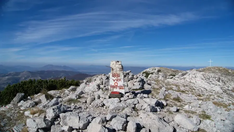
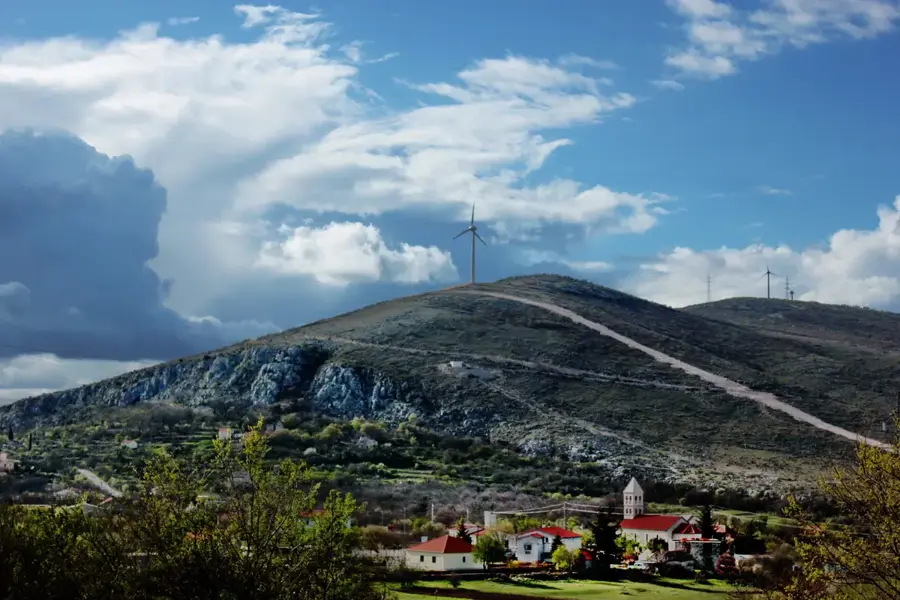
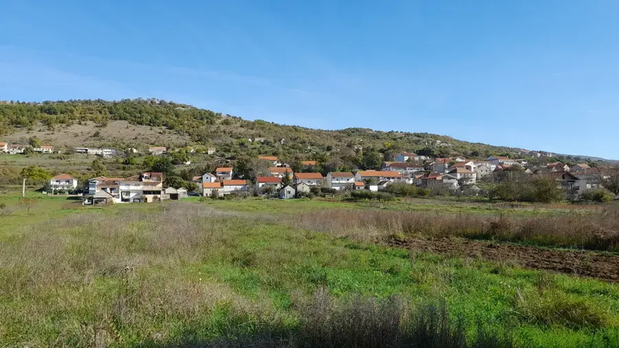
Mount Dinara is the highest mountain massif in Croatia and the namesake for the entire Dinaric Alps mountain range. Its highest peak, Sinjal, reaches an elevation of 1,831 meters above sea level and is located in the hinterland of Knin. The massif is predominantly composed of Mesozoic limestone, resulting in a classic karst landscape with deep canyons, caves, and vast upland plateaus. In 2021, the region was officially designated as Croatia's twelfth nature park to safeguard its immense biodiversity and fragile ecosystems. The area is home to numerous endemic plant and animal species, including the Dinaric vole. Historically, Dinara has served as a significant border region, and its summits offer expansive views across Dalmatia and into Bosnia and Herzegovina. For hikers, ascending the peak is a demanding feat due to rugged terrain and unpredictable weather.
- Location: Croatia
- Top sights: Dinara · Suvi vrh · Jančija glavica
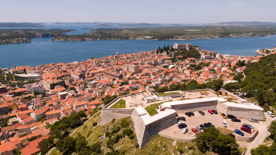
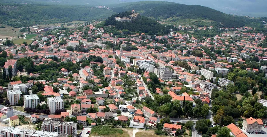
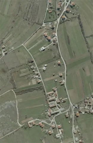
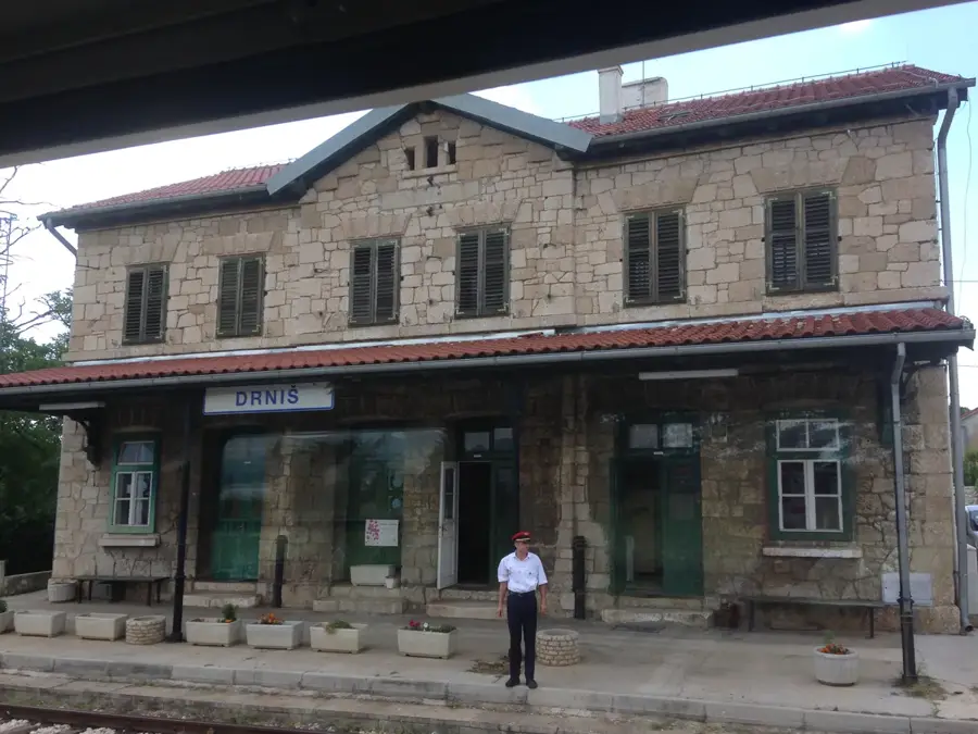
- Nearby: Kijevo (10 km)
Best time to visit & climate
The most pleasant time to visit is Jun–Aug.
| Jan | Feb | Mar | Apr | May | Jun | Jul | Aug | Sep | Oct | Nov | Dec | |
|---|---|---|---|---|---|---|---|---|---|---|---|---|
| Avg °C | 1 | 2 | 6 | 10 | 15 | 19 | 22 | 22 | 17 | 12 | 8 | 3 |
| Rain mm | 91 | 86 | 74 | 70 | 69 | 59 | 39 | 52 | 95 | 94 | 125 | 110 |
📋 Practical info
Geography
Facts
- The Sinjal peak is the highest point in Croatia at 1,831 meters above sea level.
- The Dinara massif stretches for a total distance of about 100 kilometers.
- The region was officially declared a Nature Park in February 2021.
- More than 900 different plant species are found within the mountain area.
- The 22-meter-high Krčić waterfall is located at the foot of the massif.
- The mountain serves as a natural border between Croatia and Bosnia and Herzegovina.
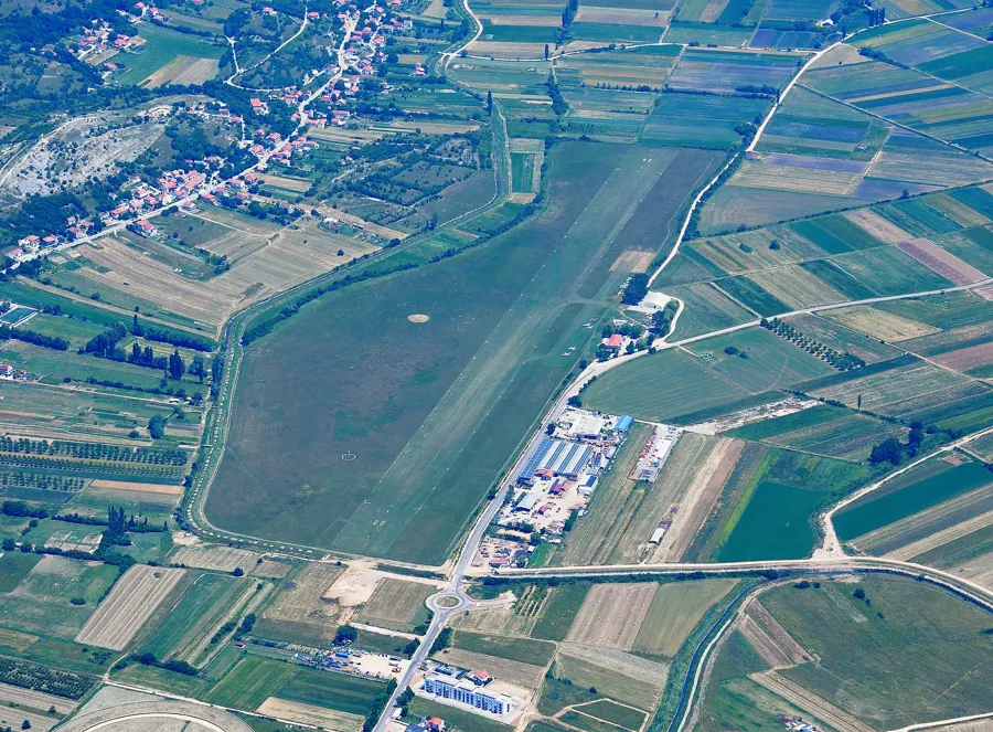
Explore nearby
Notable places around
Route planner — Car & Motorhome
Where do you start? We build the route here, with stops and country notes along the way.
© OpenStreetMap contributors · OpenRouteService
Sights in the town Dinara (4)
Jančija glavica
Mountain in Croatia, located in the Dinaric Alps, forested and little frequented.
Sights nearby
Frequently asked questions
How high is Mount Dinara?
Is the climb difficult?
When is the best time for hiking?
Are there water sources on the mountain?
Where does the hiking trail start?
Dinara: where is it located?
Dinara: what is there to see?
Dinara: when is the best time to visit?
Dinara: why is it worth visiting?

Nearby cities