Plizio Visual Lab
Bileća Lake
Weather…
Water temperature…
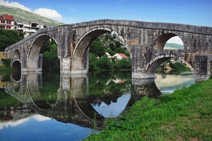
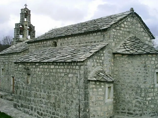
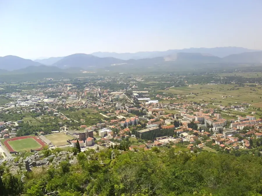
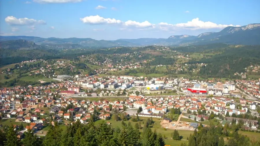
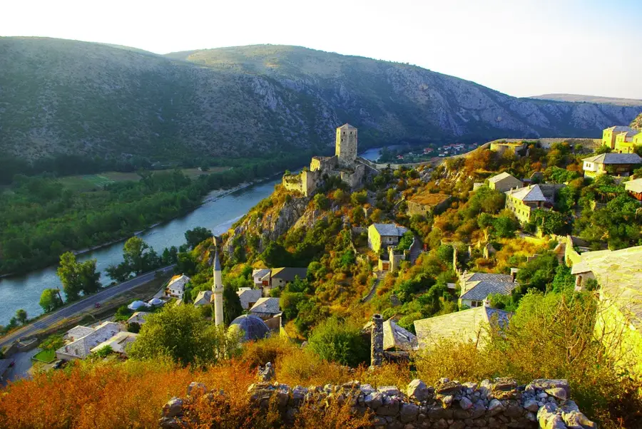
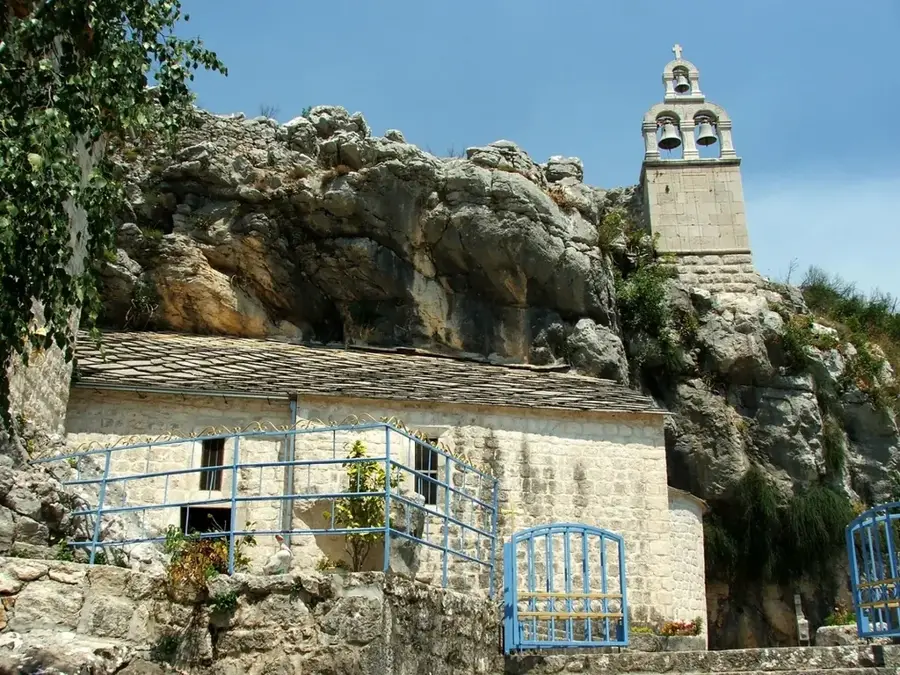
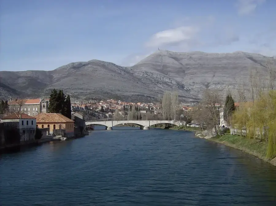
Bileća Lake is the largest artificial reservoir in Bosnia and Herzegovina, situated in the rugged karst landscape of eastern Herzegovina near the town of Bileća. It was created in 1968 following the construction of the 123-meter-high Grančarevo Dam on the Trebišnjica River, which serves as a major hydroelectric power source for the region. The lake covers a surface area of approximately 33 square kilometers and reaches a maximum depth of 104 meters at its lowest points. Beneath its surface lie the remains of several villages that were evacuated and submerged during the flooding of the valley, including old churches and cemeteries. Geologically, the area is defined by limestone formations, leading to a complex hydrological system characterized by numerous underground channels and sinkholes. Today, the lake is primarily used for power generation, but it has also gained popularity among recreational fishermen seeking large catfish and carp. The stark contrast between the deep blue waters and the surrounding arid, rocky hills makes it a prominent visual landmark in the Herzegovinian interior.
- Location: Bosnia and Herzegovina
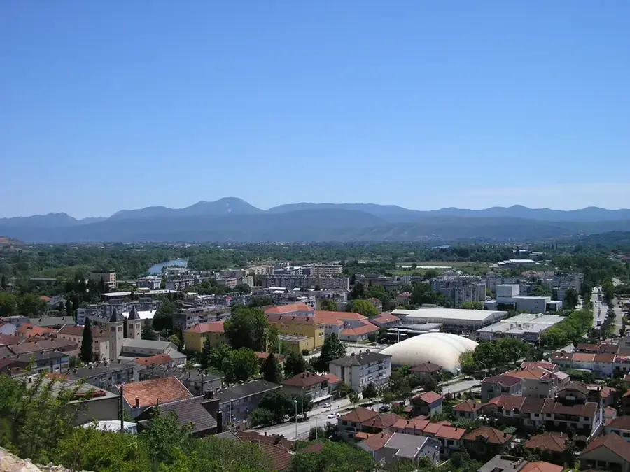
- Nearby: Bileća (7 km)
Best time to visit & climate
The most pleasant time to visit is Jun–Aug.
| Jan | Feb | Mar | Apr | May | Jun | Jul | Aug | Sep | Oct | Nov | Dec | |
|---|---|---|---|---|---|---|---|---|---|---|---|---|
| Avg °C | -2 | -1 | 2 | 7 | 11 | 15 | 18 | 18 | 13 | 9 | 4 | -1 |
| Rain mm | 134 | 131 | 121 | 93 | 89 | 83 | 52 | 49 | 104 | 124 | 162 | 152 |
📋 Practical info
Geography
Facts
- The lake was created in 1968 following the construction of the Grančarevo Dam on the Trebišnjica River.
- With a surface area of 33 km², it is the largest artificial lake in Bosnia and Herzegovina.
- The reservoir reaches a maximum depth of 104 meters when at full capacity.
- The remains of several submerged villages, such as Panik, lie beneath the water's surface.
- The dam stands 123 meters high and supports the Trebinje I hydroelectric power plant.
- The lake is situated at an elevation of approximately 400 meters above sea level.
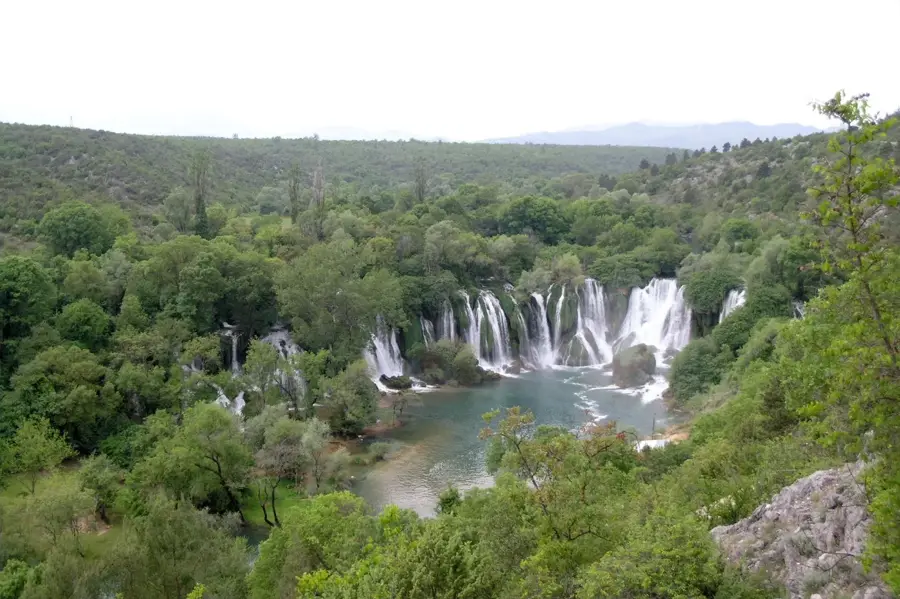
Explore nearby
Notable places around
Route planner — Car & Motorhome
Where do you start? We build the route here, with stops and country notes along the way.
© OpenStreetMap contributors · OpenRouteService
Sights in the town Bileća Lake (1)
Sights nearby
Frequently asked questions
How large is Bileća Lake?
What is hidden beneath the water's surface?
Can you go diving in the lake?
What fish are in the lake?
What is the climate like at Bileća Lake?
Bileća Lake: where is it located?
Bileća Lake: when is the best time to visit?
Bileća Lake: why is it worth visiting?
Nearby cities


History & landmarks
Nature
More places