Plizio Visual Lab
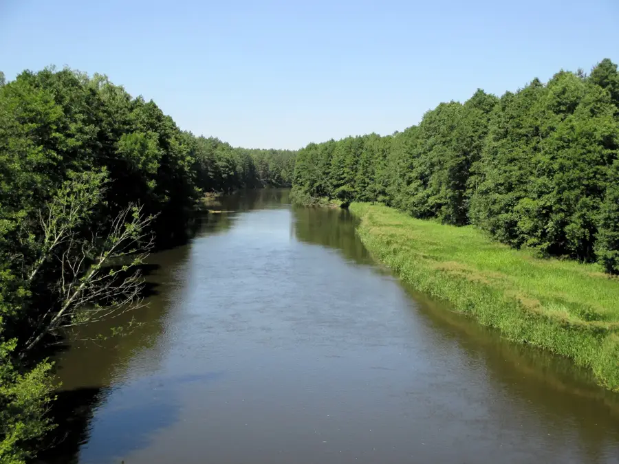
Shchara River
Weather…
Water temperature…
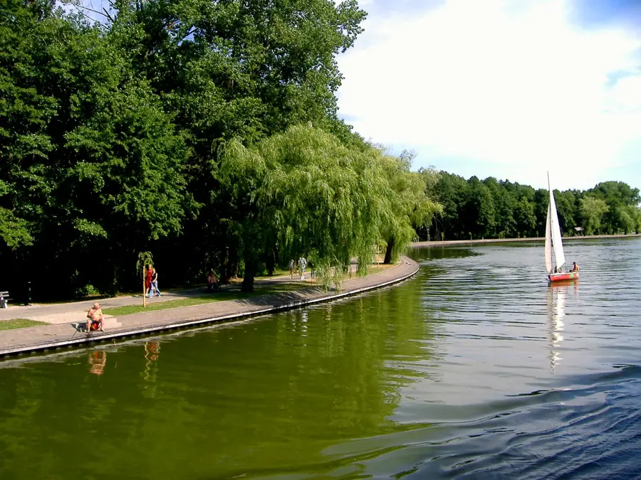
The Shchara is a 325-kilometer-long left tributary of the Neman River that flows through western Belarus, winding its way across a diverse and unspoiled floodplain landscape. Historically, the river gained immense significance through its connection to the Pripyat River via the Oginski Canal, which was constructed in the 18th century and enabled a direct navigable waterway between the Baltic and Black Seas. The riverbanks are frequently fringed by dense, largely impenetrable wetlands and ancient forests, making the region an incredibly valuable habitat for a vast array of waterfowl, beaver populations, and amphibians. The meandering course of the river, particularly in its lower reaches, is well-known for its remarkable vegetation growth and numerous oxbow lakes, which result in a tranquil, slow-moving current. Today, the Shchara is primarily valued by nature enthusiasts, eco-tourists, and passionate kayakers who seek recreation in the pristine surroundings of Slonim and its adjacent villages.
- Location: Belarus
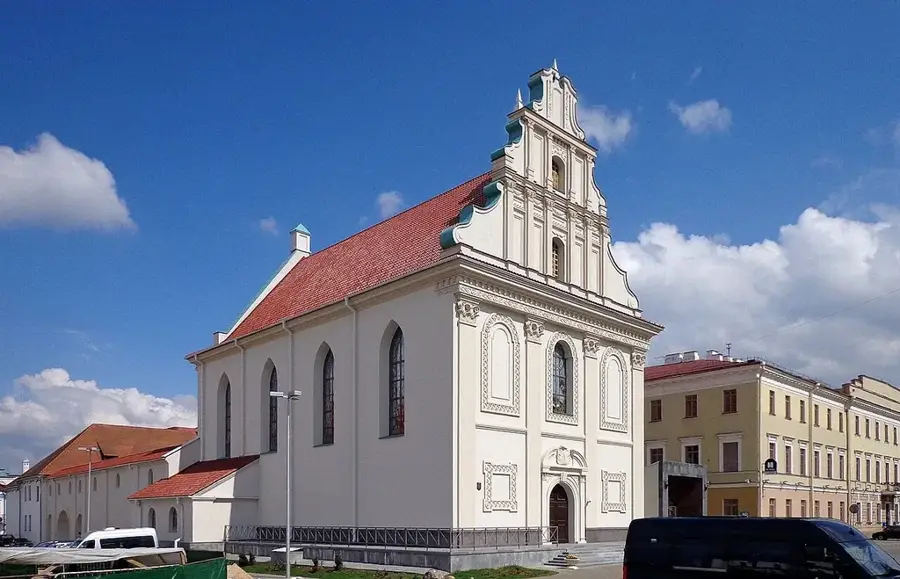
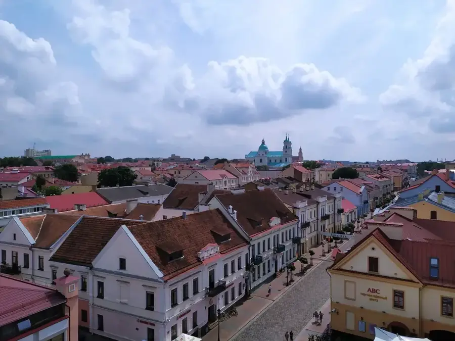
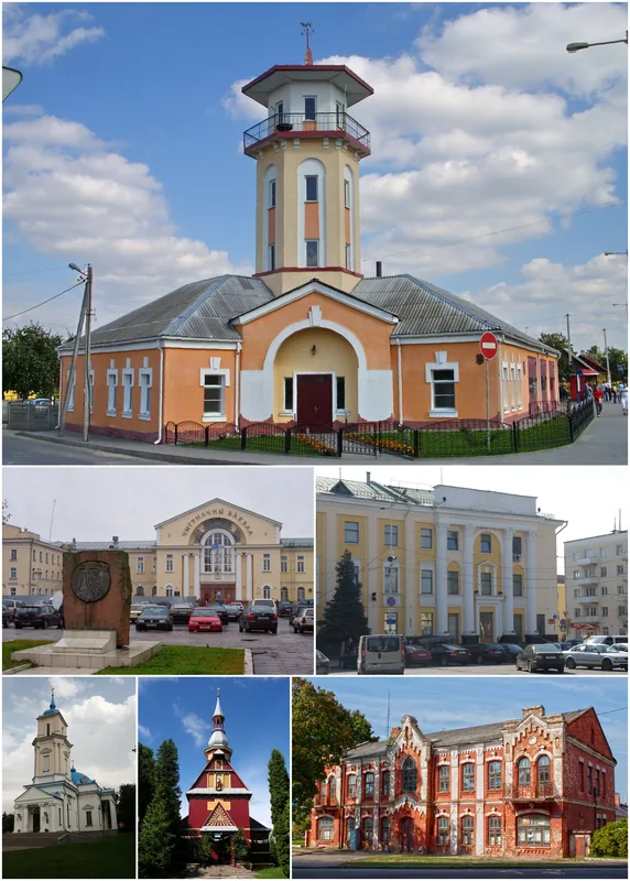
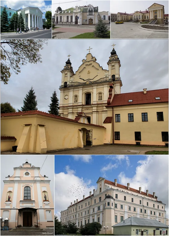
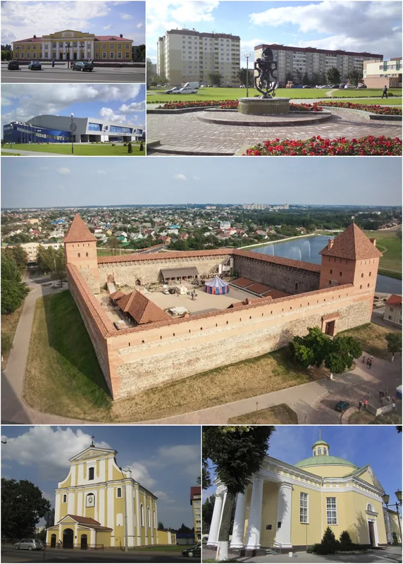
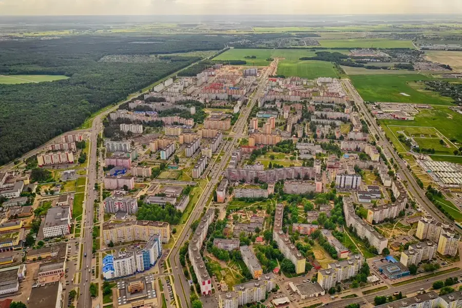
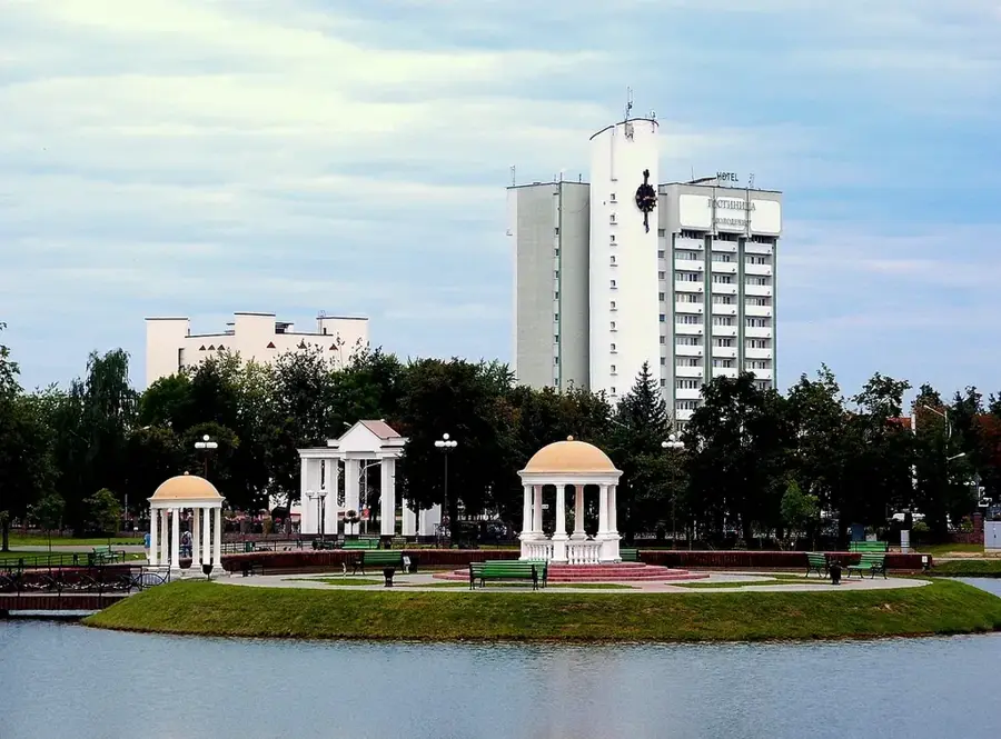
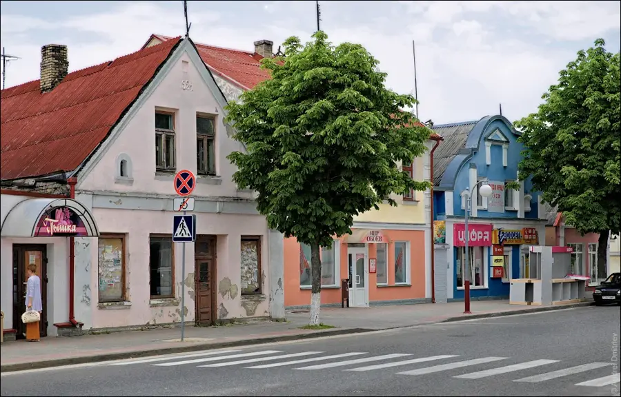
- Nearby: Slonim (13 km)
Best time to visit & climate
The most pleasant time to visit is Jun–Aug.
| Jan | Feb | Mar | Apr | May | Jun | Jul | Aug | Sep | Oct | Nov | Dec | |
|---|---|---|---|---|---|---|---|---|---|---|---|---|
| Avg °C | -6 | -5 | 0 | 7 | 14 | 17 | 20 | 19 | 14 | 7 | 2 | -3 |
| Rain mm | 48 | 39 | 42 | 41 | 77 | 75 | 93 | 68 | 49 | 58 | 50 | 48 |
📋 Practical info
Geography
Explore nearby
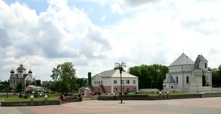
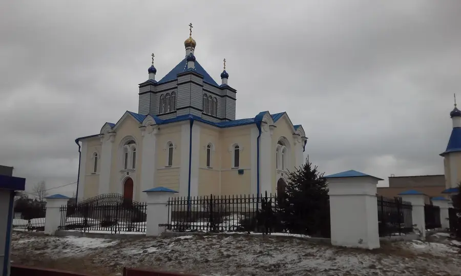
Notable places around
Route planner — Car & Motorhome
Where do you start? We build the route here, with stops and country notes along the way.
© OpenStreetMap contributors · OpenRouteService
Sights nearby
Frequently asked questions
Into which river does the Shchara flow?
Are there historical canals on this river?
Is the river good for nature observation?
Can you camp there?
Which city is located on the Shchara?
Shchara River: where is it located?
Shchara River: when is the best time to visit?
Shchara River: why is it worth visiting?

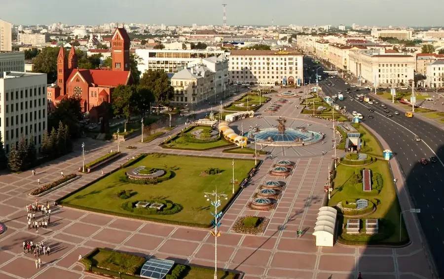
Nearby cities