Plizio Visual Lab
Baranavichy Plain
The Baranavichy Plain is situated in southwestern Belarus, spanning across parts of the Brest and Grodno regions. Geographically, it serves as a significant watershed dividing the Neman River basin to the north from the Pripyat River basin to the south. The landscape is characterized by gently undulating moraine deposits formed during the Dnieper glaciation and subsequently smoothed by periglacial erosion. With elevations ranging typically between 180 and 210 meters, the terrain is mostly level with occasional low ridges. The prevailing sod-podzolic soils are highly fertile, making the plain one of the country's most vital agricultural zones for cultivating grains, sugar beets, and flax. The natural landscape is interspersed with small forests of oak, birch, and pine, which provide habitats for local wildlife. Historically, the plain has been a crossroads for trade and military movements, particularly due to its location on the main routes connecting Central Europe with Moscow.
- Location: Belarus
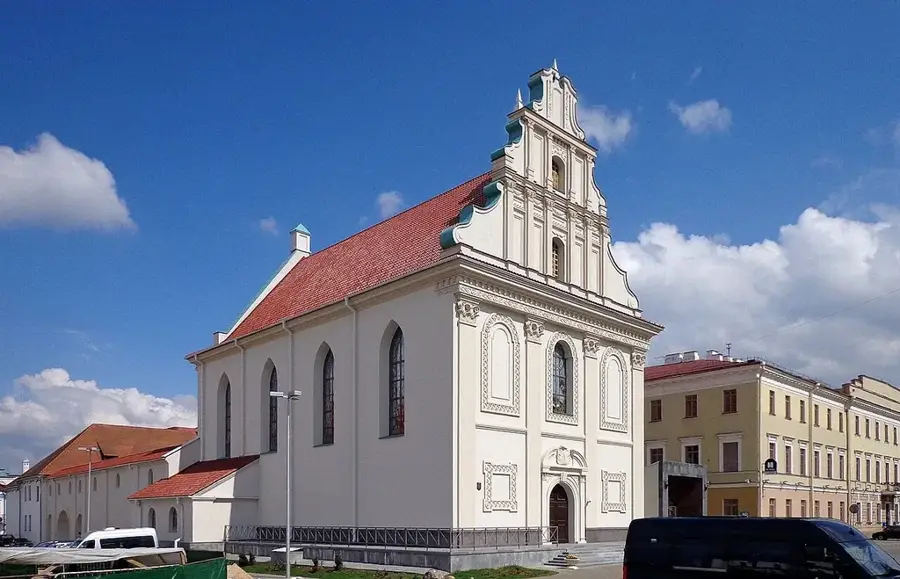
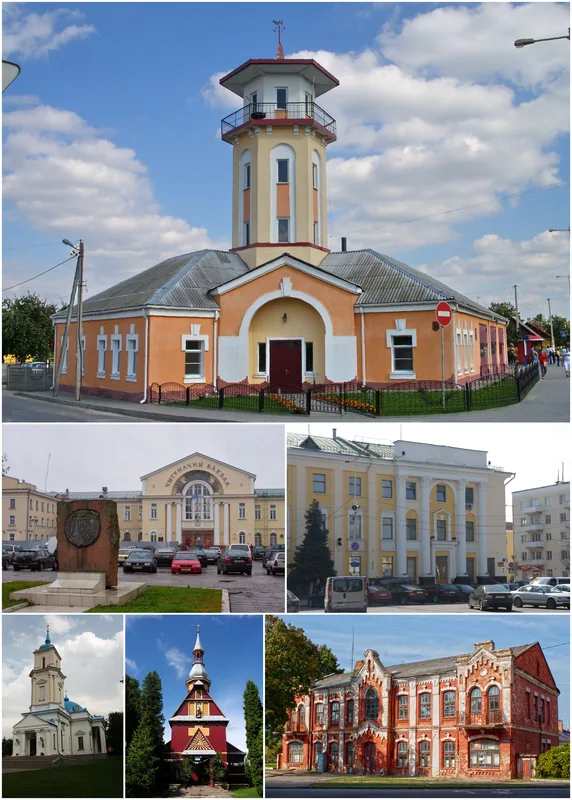
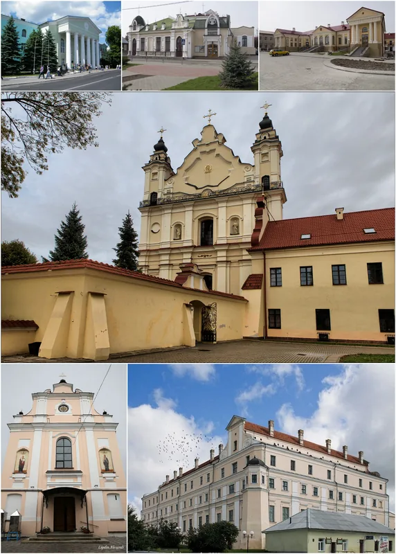
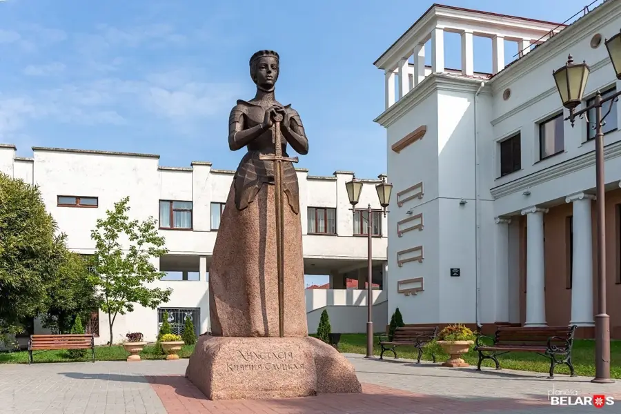
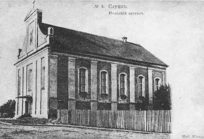
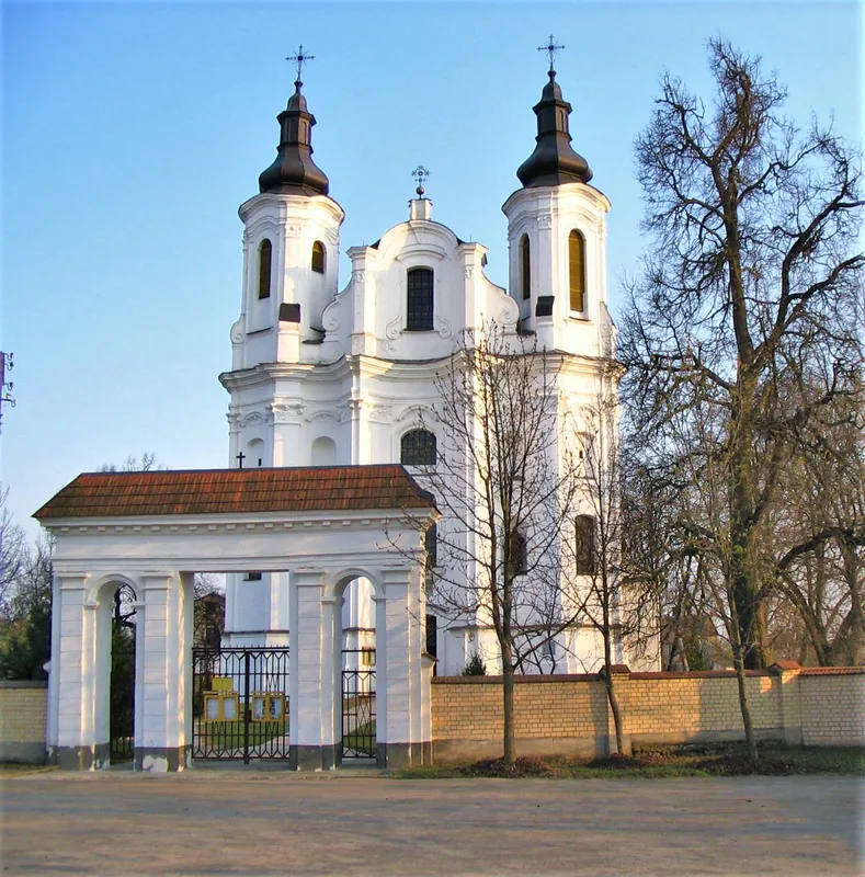
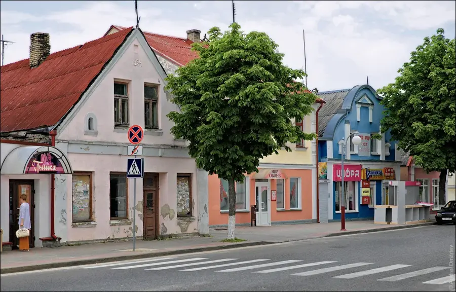
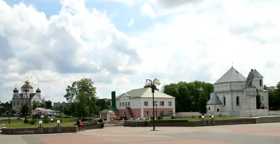
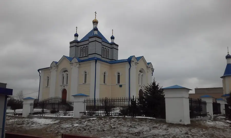
- Top sights: Khram Pakrova Prasviatoi Bagarodzitsy (1931) · Muzychnaia shkola No. 1 · Roman Catholic Church of the Exaltation of the Holy Cross
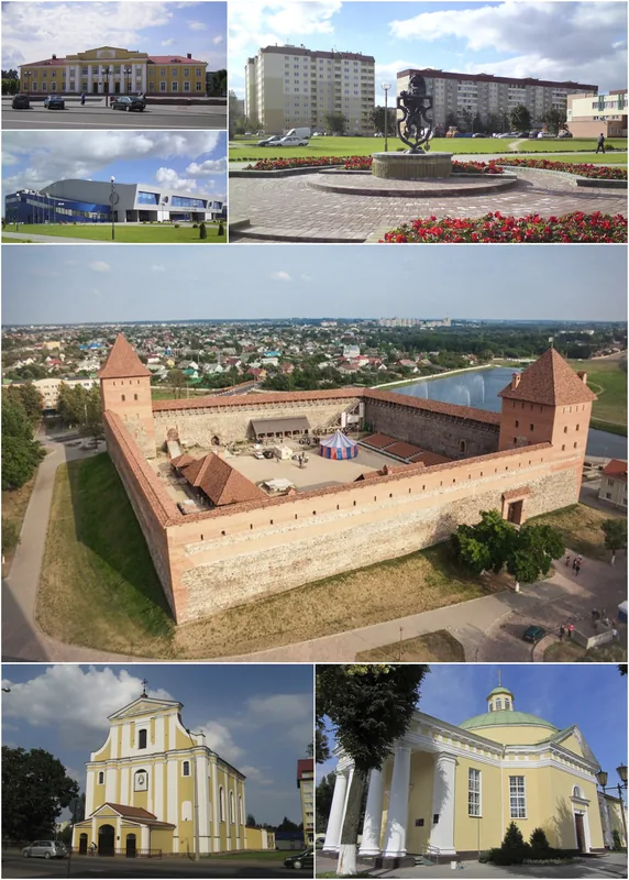
- Nearby: Lyakhavichy (20 km)
Best time to visit & climate
The most pleasant time to visit is Jun–Aug.
| Jan | Feb | Mar | Apr | May | Jun | Jul | Aug | Sep | Oct | Nov | Dec | |
|---|---|---|---|---|---|---|---|---|---|---|---|---|
| Avg °C | -7 | -5 | 0 | 7 | 13 | 17 | 19 | 19 | 14 | 7 | 2 | -4 |
| Rain mm | 48 | 39 | 42 | 42 | 76 | 77 | 95 | 67 | 46 | 59 | 50 | 48 |
📋 Practical info
Geography
Facts
- The plain serves as a major watershed between the Baltic Sea and the Black Sea basins.
- The highest point of the Baranavichy Plain reaches 218 meters above sea level.
- The area was primarily shaped during the Dnieper glaciation roughly 250,000 years ago.
- More than 50% of the land area is currently dedicated to agricultural production.
- The thickness of glacial deposits in this region ranges from 60 to 100 meters.
- Baranavichy, the regional hub, grew rapidly following the construction of railways in 1871.
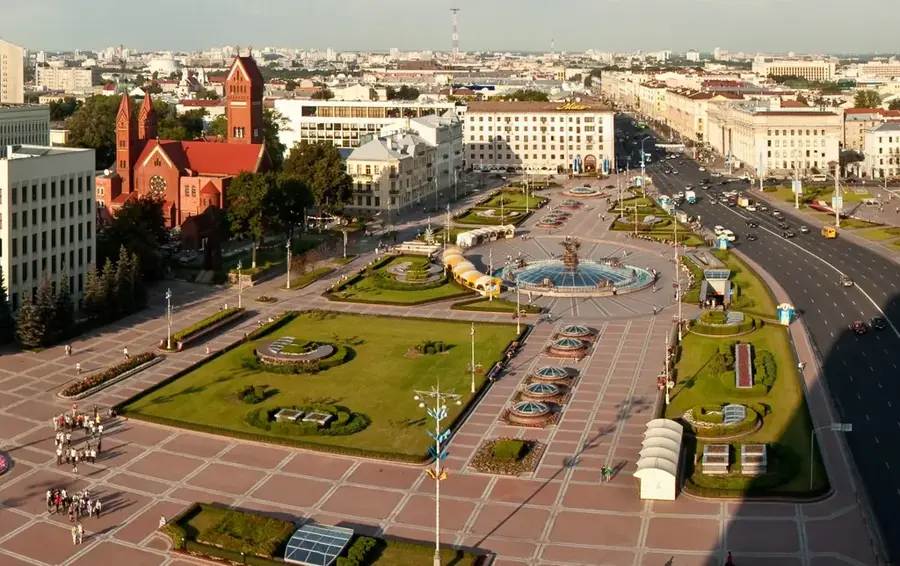
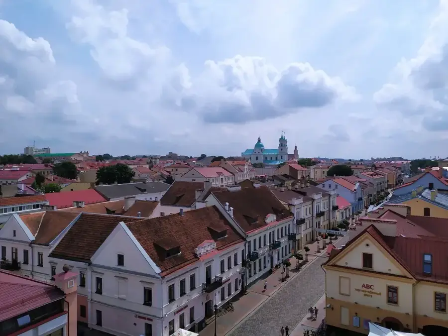
Explore nearby
Notable places around
Route planner — Car & Motorhome
Where do you start? We build the route here, with stops and country notes along the way.
© OpenStreetMap contributors · OpenRouteService
Sights in the town Baranavichy Plain (3)
Sights nearby
Frequently asked questions
What is the Baranavichy Plain?
Is a stop in Baranavichy worth it?
How is the landscape structured?
Are there lakes in the region?
Is the plain good for cyclists?
Baranavichy Plain: where is it located?
Baranavichy Plain: what is there to see?
Baranavichy Plain: when is the best time to visit?
Baranavichy Plain: why is it worth visiting?

Nearby cities