Plizio Visual Lab
Slonim Upland
Weather…
Water temperature…
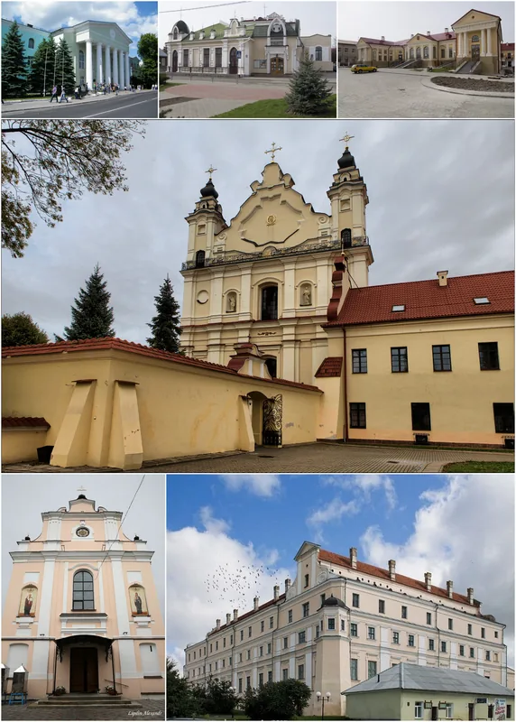
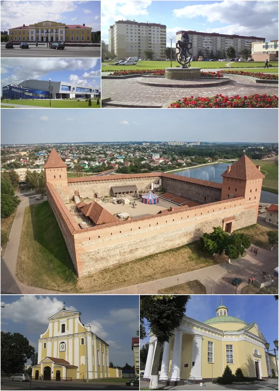
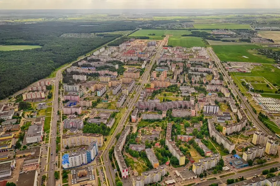
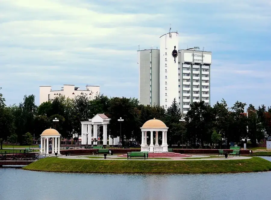
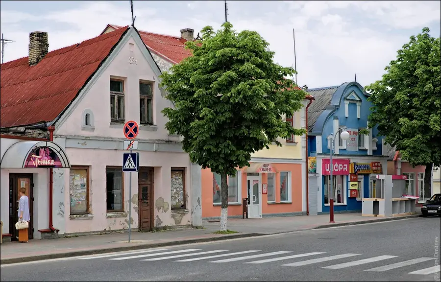
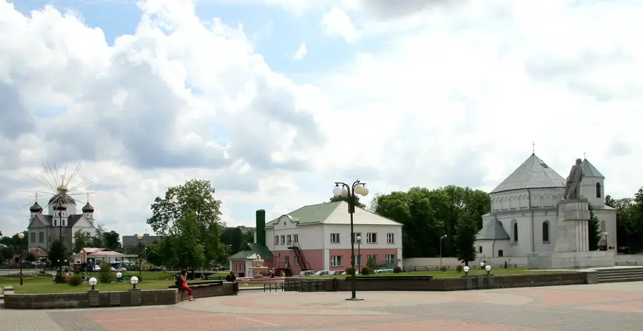
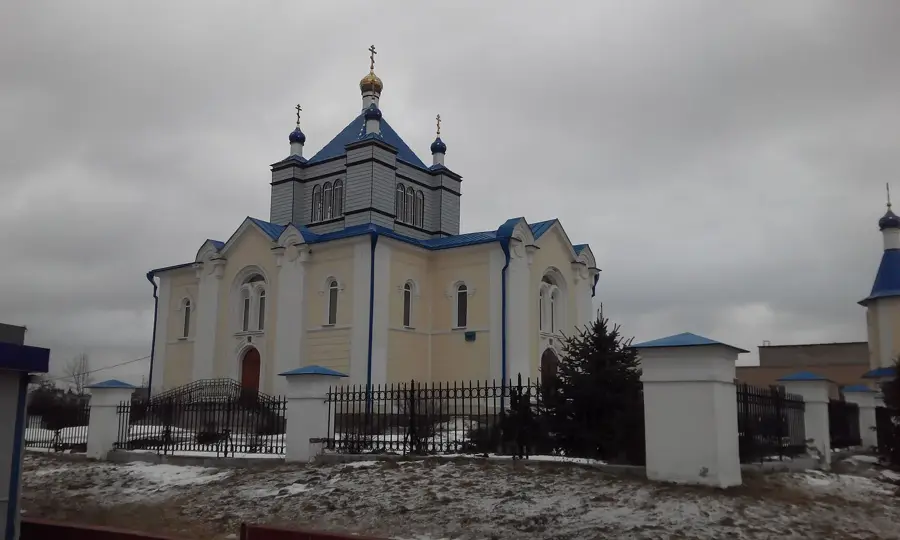
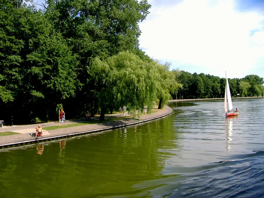
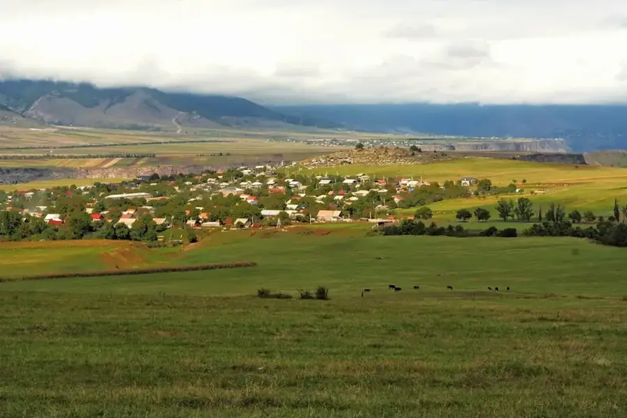
The Slonim Upland in western Belarus, centered around the historic town of Slonim, is a classic example of a sandy terminal moraine landscape formed during the Saalian (Sozh) glaciation. The elevation reaches a maximum height of 223 meters above sea level and covers an area of nearly 1,900 square kilometers. In stark contrast to the fertile loess soils of neighboring uplands, the Slonim Upland is heavily dominated by glaciofluvial sand plains deposited by the massive meltwater torrents of retreating glaciers. These sandy, relatively nutrient-poor podzolic soils provide handy growing conditions for coniferous trees, which is why approximately 35 percent of the landscape remains blanketed by extensive pine forests. Hydrologically, the region is deeply bisected by the Shchara River, one of the most significant tributaries of the Neman, and its dense network of feeder streams. These river valleys frequently cut deep into the sandy hills, creating a strongly undulating terrain with steep riverbanks.
- Location: Belarus
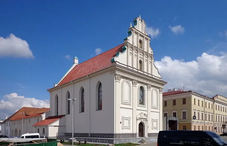
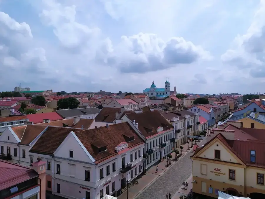
- Nearby: Slonim (9 km)
Best time to visit & climate
The most pleasant time to visit is Jun–Aug.
| Jan | Feb | Mar | Apr | May | Jun | Jul | Aug | Sep | Oct | Nov | Dec | |
|---|---|---|---|---|---|---|---|---|---|---|---|---|
| Avg °C | -6 | -5 | 0 | 7 | 14 | 17 | 20 | 19 | 14 | 7 | 2 | -3 |
| Rain mm | 48 | 39 | 42 | 41 | 77 | 75 | 93 | 68 | 49 | 58 | 50 | 48 |
📋 Practical info
Geography
Explore nearby
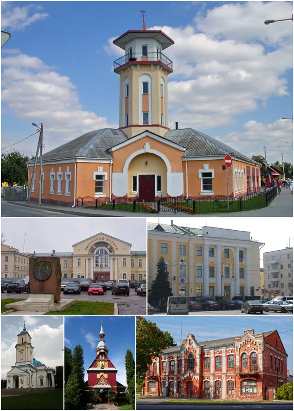
Notable places around
Route planner — Car & Motorhome
Where do you start? We build the route here, with stops and country notes along the way.
© OpenStreetMap contributors · OpenRouteService
Sights nearby
Frequently asked questions
How high is the Slonim Upland?
Are there large forests there?
What animals live in the region?
Is a visit to Slonim worth it?
Are there hiking trails?
Slonim Upland: where is it located?
Slonim Upland: when is the best time to visit?
Slonim Upland: why is it worth visiting?

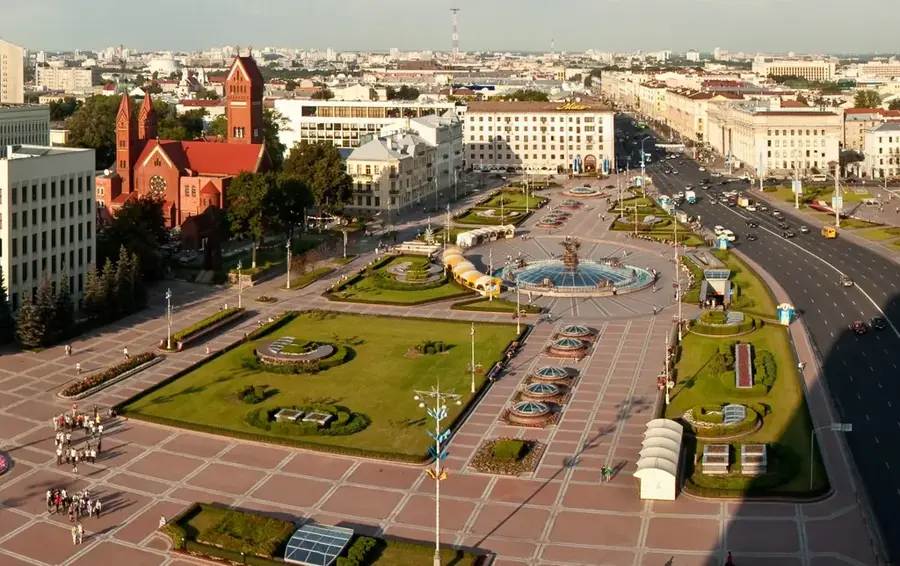
Nearby cities