Plizio Visual Lab
Perito Moreno (Town)
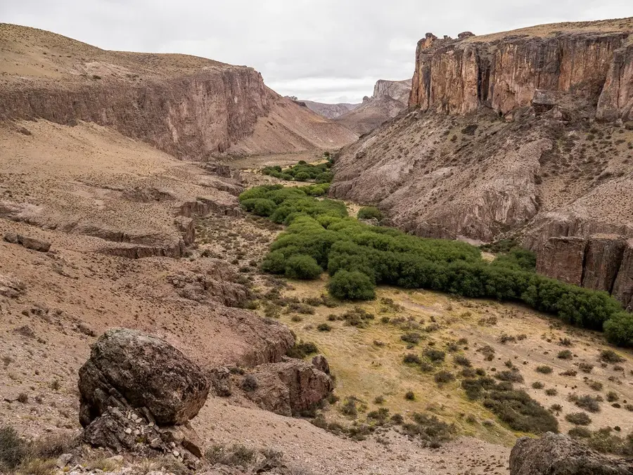
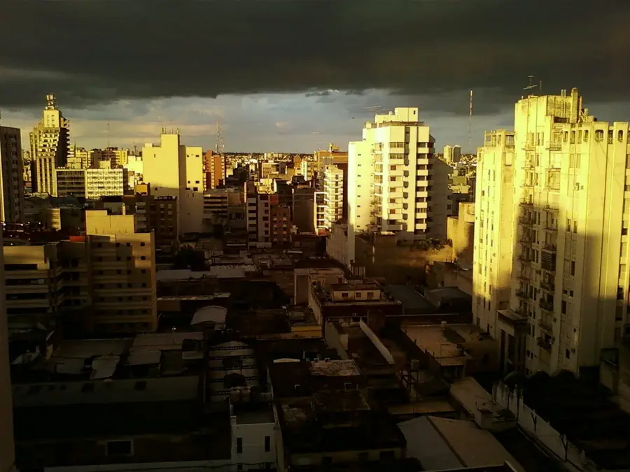
Located in the arid steppes of northwestern Santa Cruz province, this small town is frequently confused with the famous glacier of the same name situated much further south. Founded in 1927, the settlement serves a completely different historical and logistical purpose as a key outpost along the iconic Route 40. It provides an essential stopover for travelers driving across the vast Patagonian plains to restock supplies and refuel. The primary reason visitors stop here is the Cueva de las Manos, located about 115 kilometers south of the town. This UNESCO World Heritage site features thousands of hand stencils and hunting scenes painted by indigenous hunter-gatherers up to 9,000 years ago. The surrounding rocky canyons of the Pinturas River support local wildlife, including herds of guanacos and soaring Andean condors. After exploring the caves, local restaurants offer typical Patagonian lamb roasted slowly over an open fire. Reaching the town requires a long drive along Route 40, typically coming from El Chaltén in the south or Bariloche in the north. The closest commercial airport is in Comodoro Rivadavia, roughly 400 kilometers to the east on the Atlantic coast. The best time to visit is during the Southern Hemisphere summer, from November to March, when the unpaved side roads are clear of snow and safe for driving.
- Location: Argentina
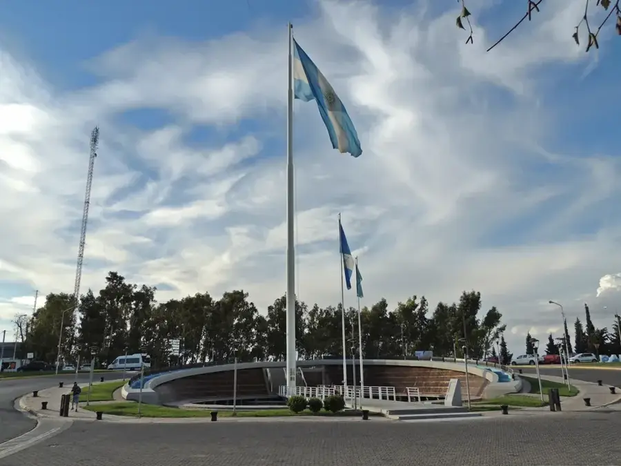
- Top sights: Cartel de Perito Moreno · Museo De Arqueología Carlos Gradin · Parroquia María Reina de las Victorias
- Population: ~3.588 (2026)
📋 Practical info
Geography
Facts
- Officially founded in the year 1927
- Located along the iconic Route 40
- Has a population of around 4,600 people
- Main gateway to the Cueva de las Manos
- Named after explorer Francisco Moreno
- Features a dry, windy steppe climate
- Originally called Lago Buenos Aires
- Acts as a regional sheep farming hub
Explore nearby
Notable places around
Route planner — Car & Motorhome
Where do you start? We build the route here, with stops and country notes along the way.
© OpenStreetMap contributors · OpenRouteService
Sights in the town Perito Moreno (Town) (3)
Sights nearby
Frequently asked questions
Perito Moreno (Town): where is it located?
Perito Moreno (Town): what is there to see?
Perito Moreno (Town): why is it worth visiting?

Nearby cities