Plizio Visual Lab
Coyhaique
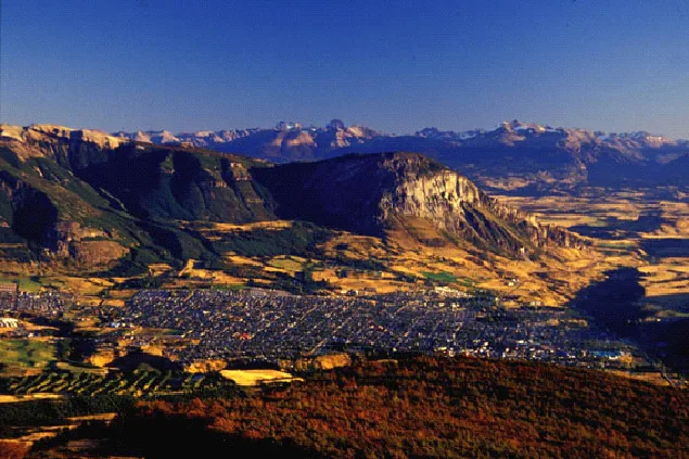
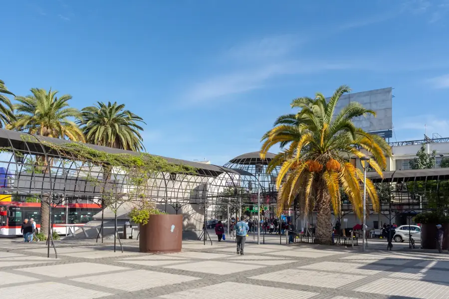
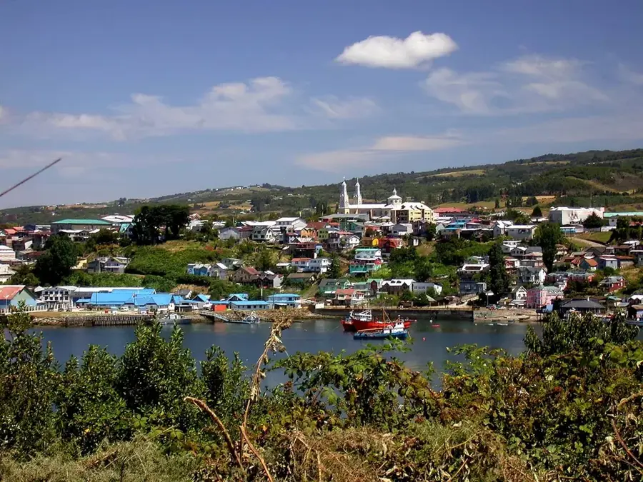
Coyhaique was founded in 1929, making it one of Chile's youngest cities. It acts as the logistical center for travelers exploring the rugged Patagonia and the famous 1,200-kilometer Carretera Austral. The city features a distinctive pentagonal plaza built to honor the national police force (Carabineros). Outdoor enthusiasts use the city as a base for fly fishing in the Simpson River and trekking in the nearby Cerro Macay. The surrounding Patagonian steppe transitions into dense temperate rainforests just a few kilometers to the west, offering contrasting ecosystems. Sheep farming has historically been the primary driver of the local economy. Local gastronomy heavily features Patagonian lamb roasted on a spit (cordero al palo) and regional craft beers. The Balmaceda airport lies 50 kilometers away, providing the main air link to Santiago. The peak season for travel is between December and March, when daytime temperatures hover around 15°C.
- Location: Chile
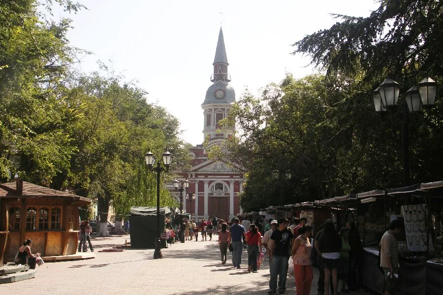
- Top sights: Vista a Piedra del Indio · Mirador Chorrillos · Feria Artesanías
- Nearby: Puerto Río Tranquilo (76 km)
- Population: ~45.787 (2026)
Geography
Facts
- Founded in 1929
- Capital of the Aysén Region
- Population of roughly 50,000
- Located at the Simpson River
- Logistical hub for Carretera Austral
- Features a pentagonal central plaza
- Surrounded by Patagonian steppe
- 50 km from Balmaceda Airport
Explore nearby
Notable places around
Route planner — Car & Motorhome
Where do you start? We build the route here, with stops and country notes along the way.
© OpenStreetMap contributors · OpenRouteService
Sights in the town Coyhaique (11)
Frequently asked questions
Coyhaique: where is it located?
Coyhaique: what is there to see?
Coyhaique: why is it worth visiting?

Nearby cities