Plizio Visual Lab
Pryluky Fortress
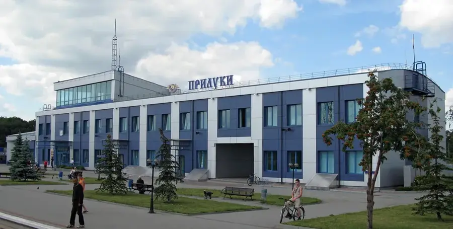
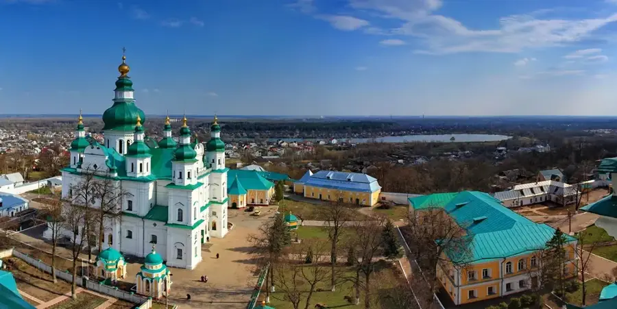
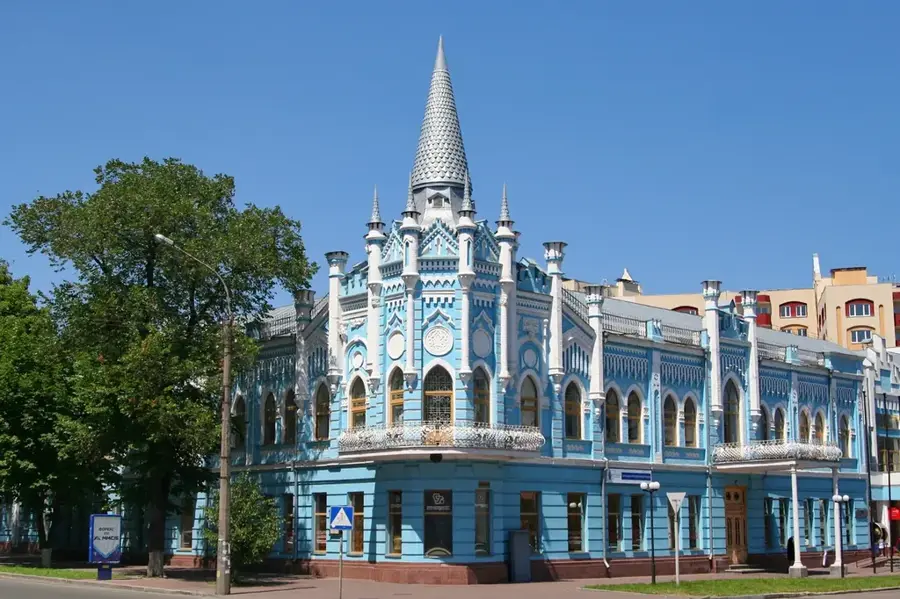
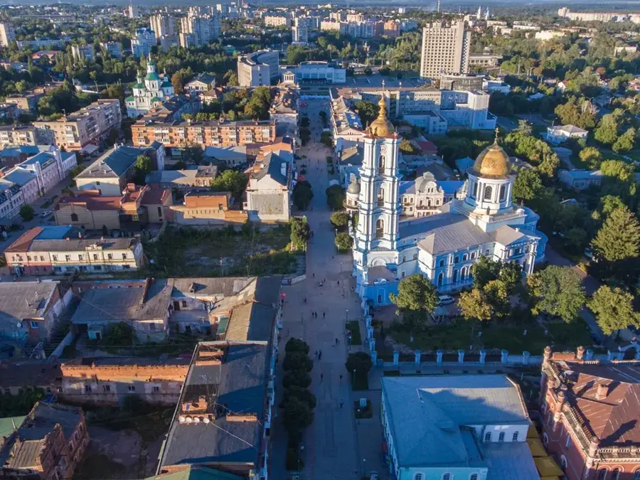
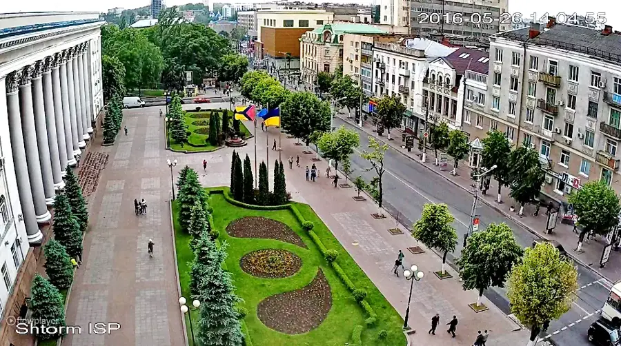
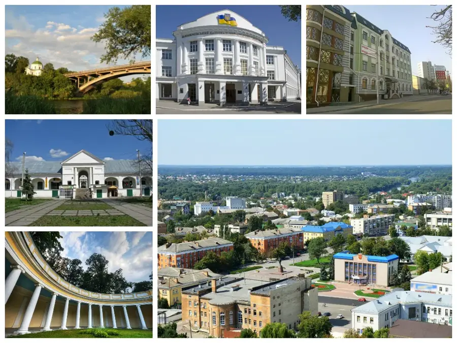
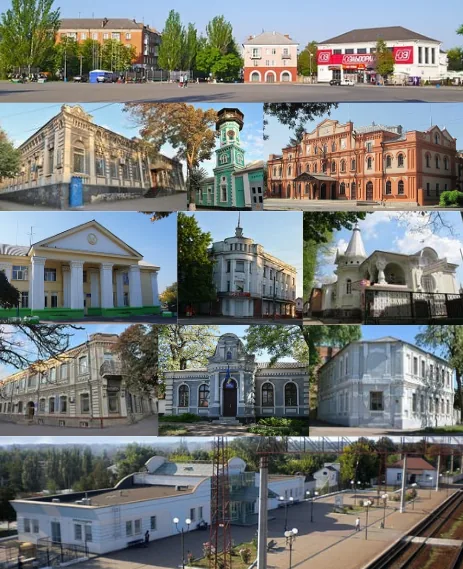
The Pryluky Fortress, located in the Chernihiv Oblast, served as a pivotal military and administrative hub of the Cossack Hetmanate during the 17th and 18th centuries. As the headquarters of the Pryluky Regiment, the fortress played a decisive role in defending Ukraine's eastern borders against foreign incursions. The original fortifications consisted of massive earthen ramparts and wooden walls reinforced with defensive towers, enclosing a significant urban area. Within the fortress walls were the regimental office, the colonel's residence, and several prominent churches, including the Transfiguration Cathedral. Over the course of the 18th century, as the Russian Empire expanded its borders, the fortress lost its strategic necessity, and its walls were gradually dismantled. Today, the legacy of the fortress is preserved in the remaining earthen mounds and a collection of historic buildings in the city center that stand as monuments to the region's rich Cossack heritage.
- Location: Ukraine
- Nearby: Ichnia (24 km)
Best time to visit & climate
The most pleasant time to visit is Jun–Aug.
| Jan | Feb | Mar | Apr | May | Jun | Jul | Aug | Sep | Oct | Nov | Dec | |
|---|---|---|---|---|---|---|---|---|---|---|---|---|
| Avg °C | -7 | -5 | 0 | 9 | 15 | 19 | 22 | 21 | 15 | 8 | 2 | -4 |
| Rain mm | 49 | 42 | 44 | 37 | 65 | 72 | 65 | 38 | 49 | 46 | 44 | 52 |
📋 Practical info
Geography
Facts
- Headquarters of the Pryluky Regiment in the 17th C.
- Crucial defense point against Tatar invasions
- Originally built with earthen ramparts and wood
- Includes the historic Transfiguration Cathedral
- Lost strategic value as the Russian Empire grew
- Large earthen ramparts are still visible today
Explore nearby
Notable places around
Route planner — Car & Motorhome
Where do you start? We build the route here, with stops and country notes along the way.
© OpenStreetMap contributors · OpenRouteService
Sights nearby
Frequently asked questions
Is Pryluky Fortress still intact?
Where is Pryluky located?
What can you visit there?
Is entry to the area free?
Is there a local museum?
Pryluky Fortress: where is it located?
Pryluky Fortress: when is the best time to visit?
Pryluky Fortress: why is it worth visiting?

Nearby cities