Plizio Visual Lab
Dzharylhach Island
Weather…
Water temperature…
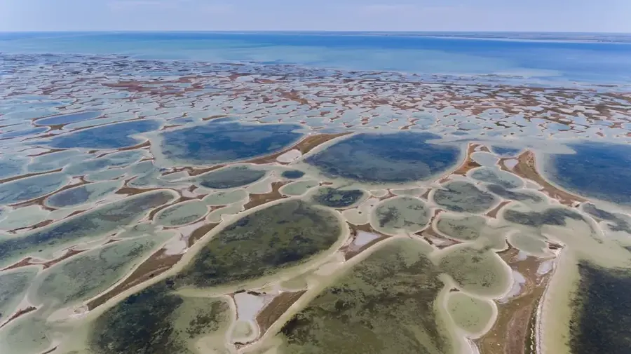
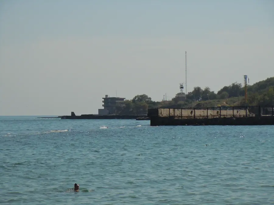
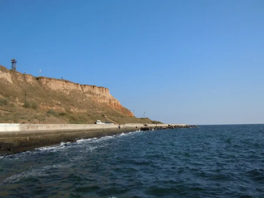
Dzharylhach is the largest island in Ukraine and the Black Sea, spanning an area of approximately 56 square kilometers in the Karkinit Bay. Located across from the city of Skadovsk in the Kherson Oblast, the island is a vital conservation area recognized as a National Nature Park since 2009. One of its most iconic landmarks is the old lighthouse, erected in 1902 and designed by a student of Gustave Eiffel, which stands as a testament to early 20th-century maritime engineering. The island's landscape is characterized by rolling sand dunes, salt marshes, and over 400 small hypersaline lakes that support a unique array of flora and fauna. It serves as a sanctuary for wild animals such as red deer, mouflons, and wild boars, while the surrounding turquoise waters are home to large populations of dolphins. Often referred to as the 'Ukrainian Maldives' due to its pristine white beaches and clear waters, Dzharylhach remains uninhabited by humans, preserving its status as a premier eco-tourism destination.
- Location: Ukraine
- Nearby: Dzharylhach (7 km)
Best time to visit & climate
The most pleasant time to visit is Jun, Aug, Sep.
| Jan | Feb | Mar | Apr | May | Jun | Jul | Aug | Sep | Oct | Nov | Dec | |
|---|---|---|---|---|---|---|---|---|---|---|---|---|
| Avg °C | 2 | 2 | 5 | 10 | 16 | 22 | 24 | 25 | 20 | 14 | 9 | 4 |
| Rain mm | 43 | 35 | 33 | 26 | 38 | 45 | 34 | 25 | 35 | 41 | 35 | 37 |
📋 Practical info
Geography
Facts
- The island stretches for approximately 42 kilometers in length.
- It covers a total land area of about 56 square kilometers.
- The historic lighthouse was manufactured in 1902 in Paris.
- The area was officially designated as a National Park in 2009.
- The island features over 400 small saline lakes and lagoons.
- Dzharylhach is home to diverse wildlife including mouflons and deer.
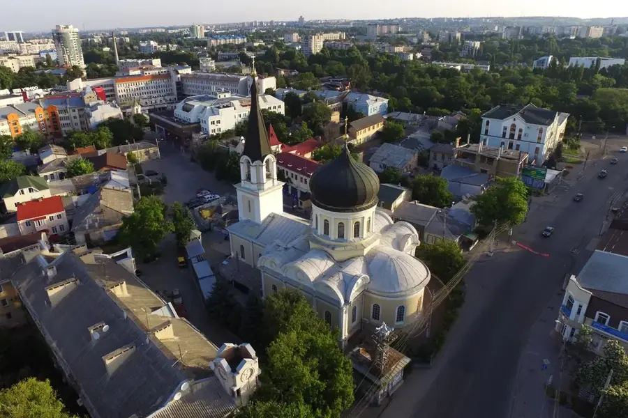
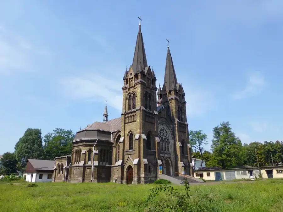
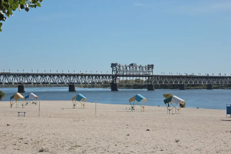
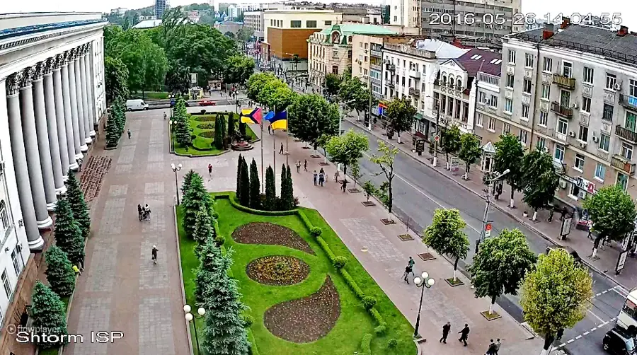
Explore nearby
Notable places around
Route planner — Car & Motorhome
Where do you start? We build the route here, with stops and country notes along the way.
© OpenStreetMap contributors · OpenRouteService
Sights nearby
Frequently asked questions
What is special about Dzharylhach?
How do you get to the island?
Is there a lighthouse?
Can you see wild animals on the island?
Is there drinking water on the island?
Dzharylhach Island: where is it located?
Dzharylhach Island: when is the best time to visit?
Dzharylhach Island: why is it worth visiting?

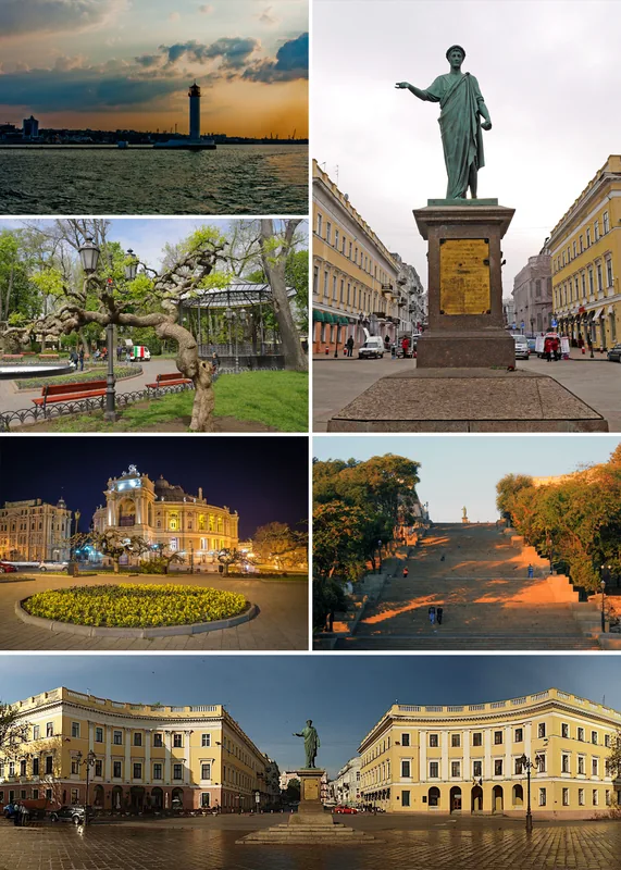
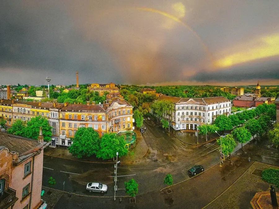
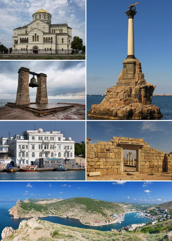
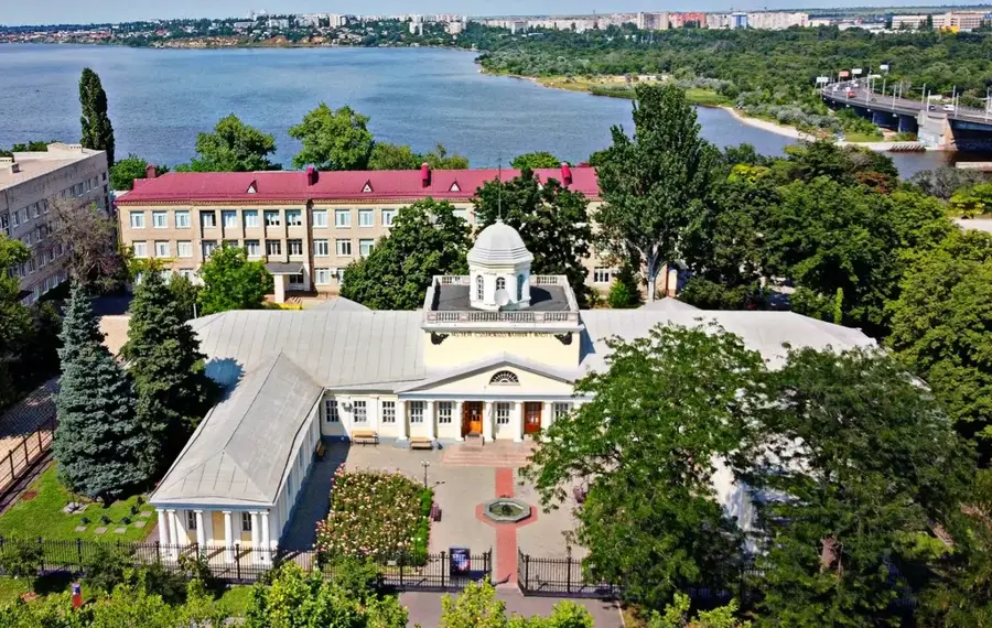
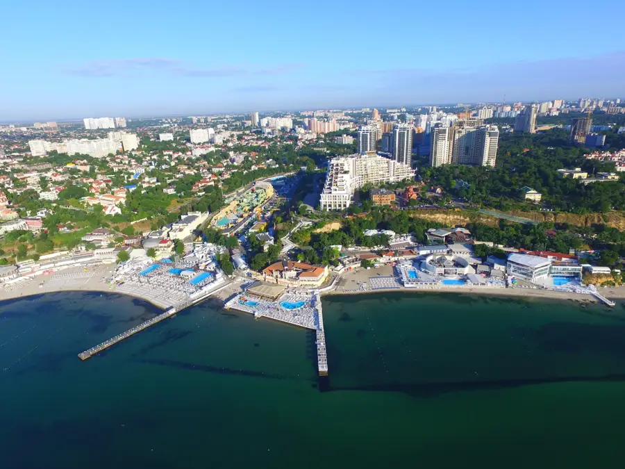
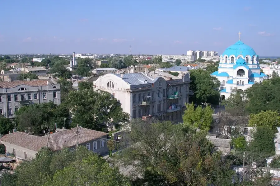
Nearby cities

History & landmarks