Plizio Visual Lab
Black Sea Lowland
Weather…
Water temperature…
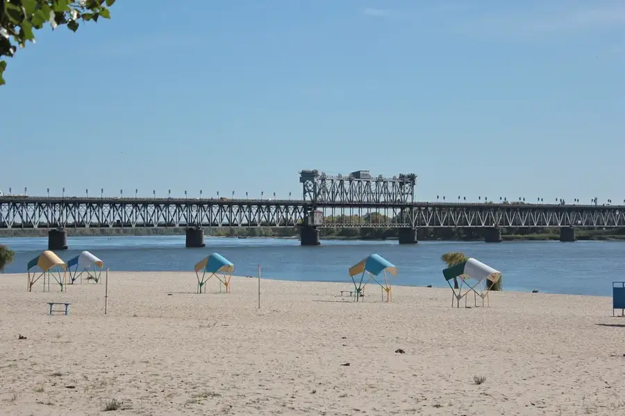
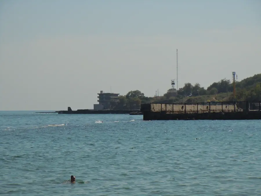
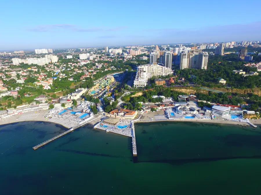
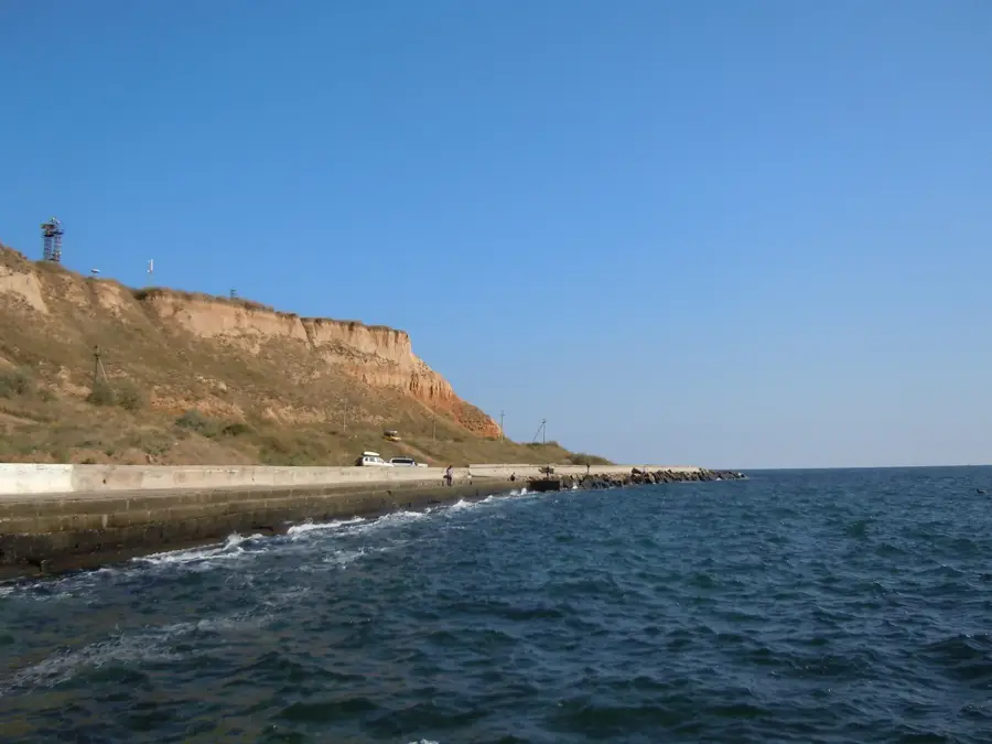
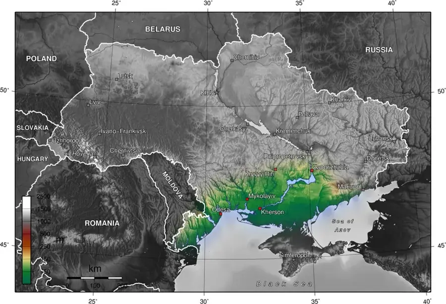
The Black Sea Lowland is an extensive coastal plain in southern Ukraine, bordering the Black Sea and the Sea of Azov. Geomorphologically, it is a young tectonic depression filled with thick layers of marine and continental sedimentary rocks, topped by a significant layer of loess. The topography is exceptionally flat, gently sloping southward toward the sea, with elevations generally staying below 100 meters. A defining feature of its coastline is the abundance of limans, estuaries and coastal lagoons formed by the flooding of river mouths such as those of the Dniester, Southern Bug, and Dnieper. The region experiences a dry continental climate with hot summers and limited rainfall, which naturally favored the development of steppe ecosystems. Today, the lowland is almost entirely cultivated, serving as a vital agricultural hub for wheat, sunflowers, and viticulture, supported by extensive irrigation networks. Historically, these lands were part of the 'Wild Fields,' a vast territory inhabited by various nomadic tribes and later by the Zaporozhian Cossacks.
- Location: Ukraine
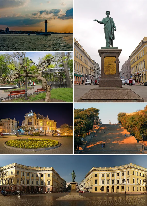
- Top sights: Oleshky Raion · Velyki Kopani
- Nearby: Oleshky (33 km)
Best time to visit & climate
The most pleasant time to visit is May, Jun, Sep.
| Jan | Feb | Mar | Apr | May | Jun | Jul | Aug | Sep | Oct | Nov | Dec | |
|---|---|---|---|---|---|---|---|---|---|---|---|---|
| Avg °C | -2 | 0 | 5 | 11 | 18 | 23 | 26 | 25 | 19 | 11 | 5 | 1 |
| Rain mm | 39 | 33 | 31 | 28 | 43 | 48 | 38 | 25 | 32 | 38 | 34 | 33 |
📋 Practical info
Geography
Facts
- Elevation is predominantly below 100 meters above sea level.
- Surface is covered by thick Quaternary loess deposits.
- Home to the world-famous Askania-Nova Biosphere Reserve.
- Features a unique coastline with many limans (coastal lagoons).
- Primary agricultural region for large-scale grain production.
- Historically recognized as part of the 'Wild Fields' territory.
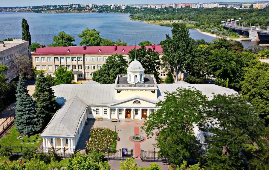
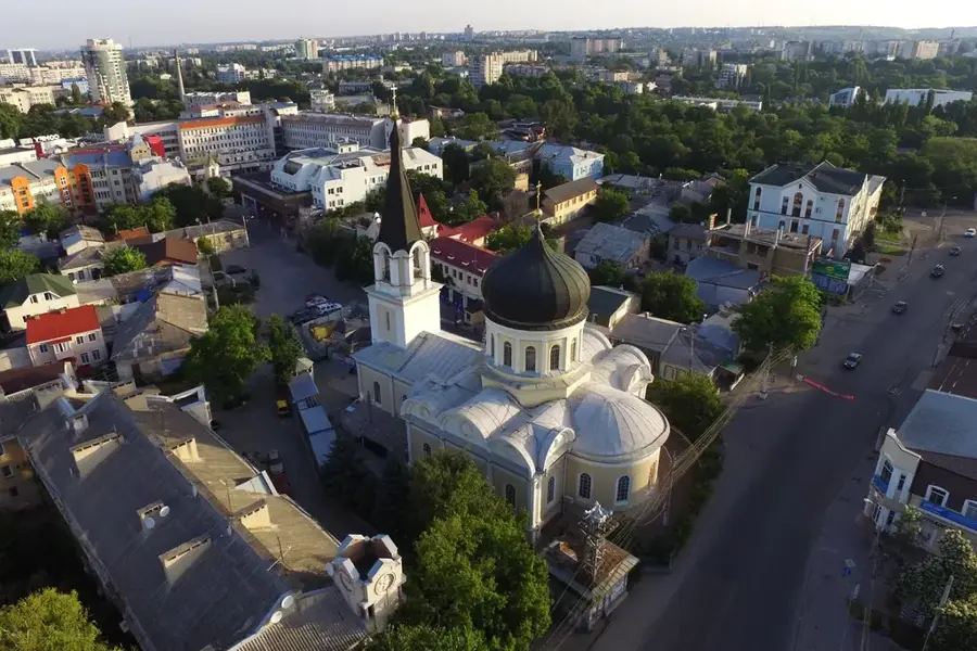
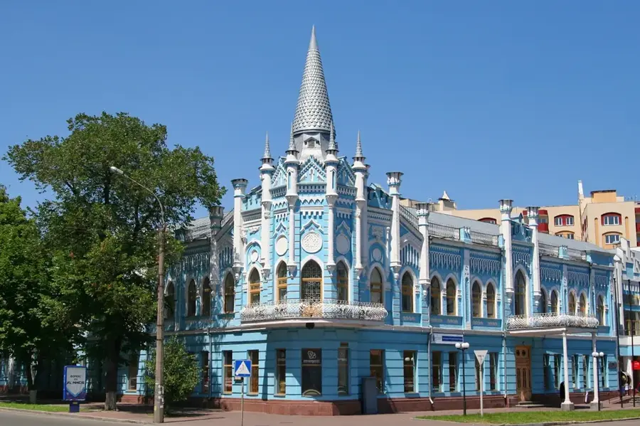
Explore nearby
Notable places around
Route planner — Car & Motorhome
Where do you start? We build the route here, with stops and country notes along the way.
© OpenStreetMap contributors · OpenRouteService
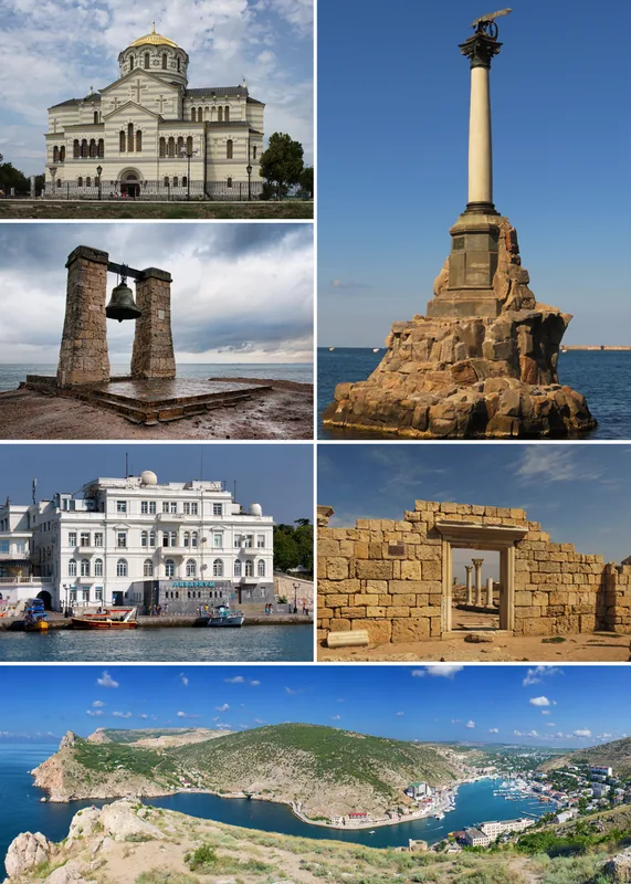
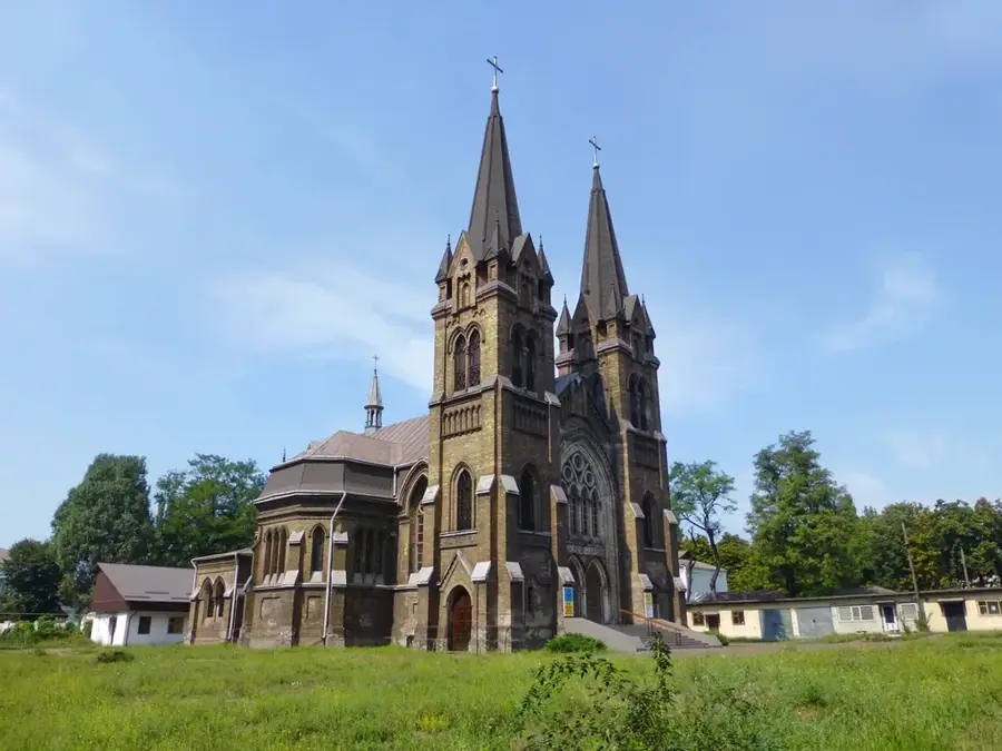
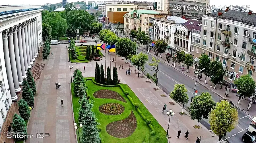
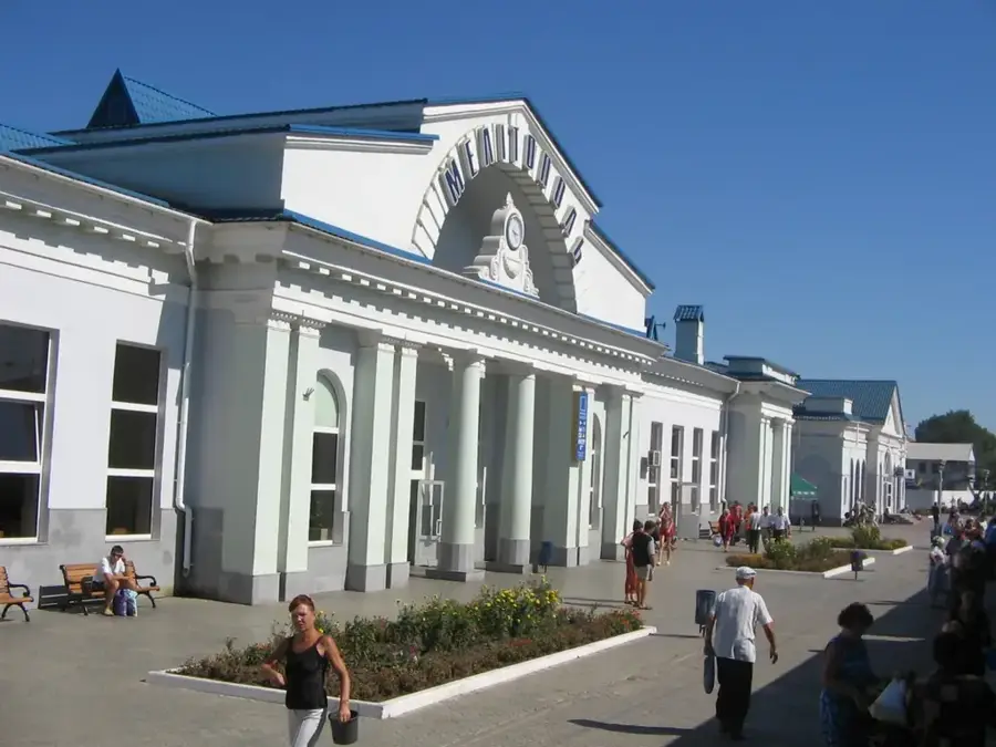
Sights in the town Black Sea Lowland (2)
Sights nearby
Frequently asked questions
Where is the Black Sea Lowland located?
What is the terrain like?
What is the typical vegetation?
Are there salt lakes there?
Which ports are located in this region?
Black Sea Lowland: where is it located?
Black Sea Lowland: what is there to see?
Black Sea Lowland: when is the best time to visit?
Black Sea Lowland: why is it worth visiting?

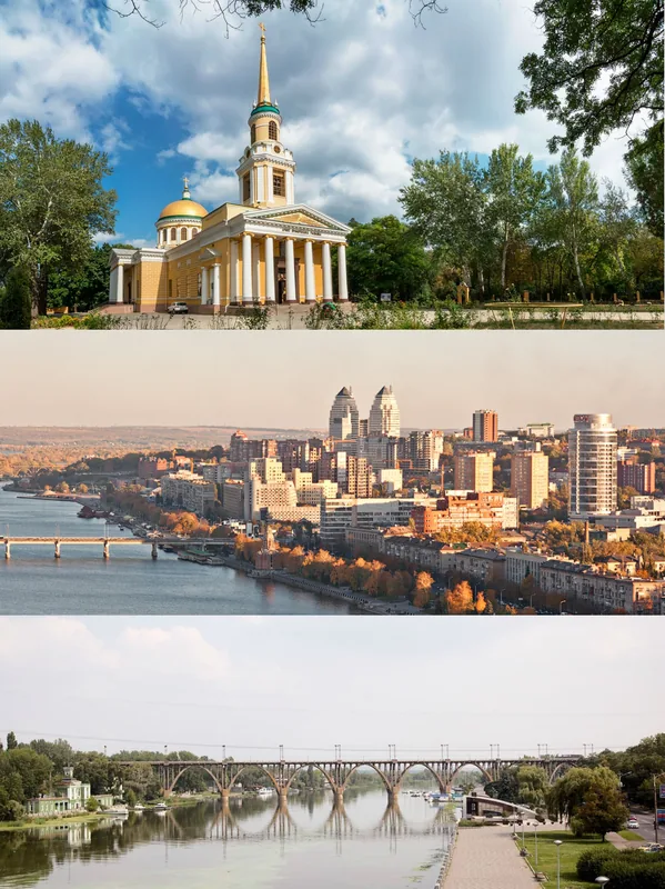
Nearby cities