Plizio Visual Lab
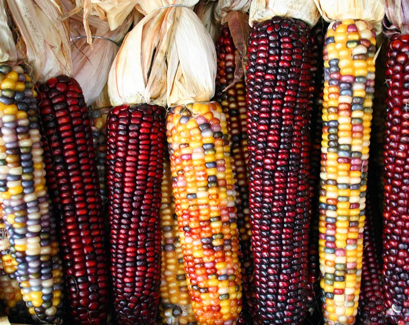
Maize Fields
Weather…
Water temperature…
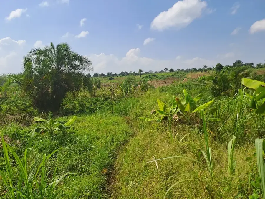
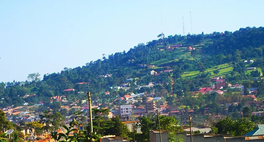
Maize is the most significant food crop in Uganda, playing a vital role in both the national economy and daily subsistence. The vast green expanses of maize fields are a common sight across the Ugandan countryside, particularly in the fertile central and eastern regions. Thanks to the country's bimodal rainfall pattern, farmers can achieve two full harvests each year, ensuring a steady supply of this essential grain. Beyond its use as a primary ingredient for posho, the national staple porridge, maize is also a crucial cash crop for smallholder farmers. The cultivation process often involves traditional intercropping methods, which help manage soil health and maximize land productivity in rural communities.
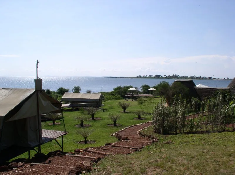
- Location: Uganda
- Nearby: Wakiso (22 km)
Best time to visit & climate
The most pleasant time to visit is Jun–Aug.
| Jan | Feb | Mar | Apr | May | Jun | Jul | Aug | Sep | Oct | Nov | Dec | |
|---|---|---|---|---|---|---|---|---|---|---|---|---|
| Avg °C | 24 | 24 | 24 | 22 | 22 | 21 | 22 | 22 | 22 | 22 | 22 | 23 |
| Rain mm | 65 | 66 | 148 | 194 | 158 | 63 | 57 | 88 | 117 | 158 | 166 | 116 |
📋 Practical info
Geography
Facts
- Average yield: 2.5 t/ha
- Major varieties: Longe 5, 7, DH10
- Aflatoxin prevalence: high
- Conservation agriculture adoption: growing
- Number of smallholder farmers: 2 million
- Maize millers: 3,000 small-scale units
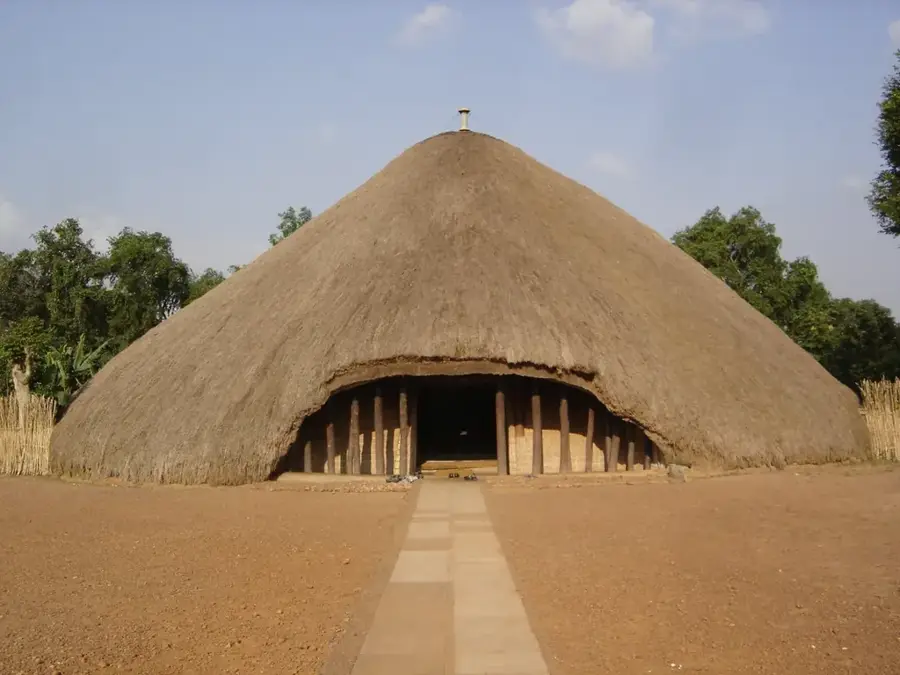
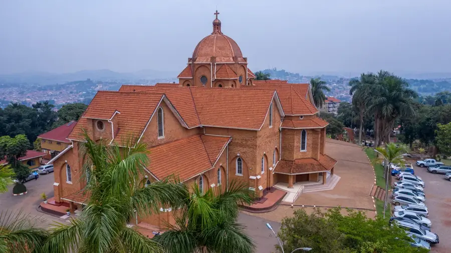
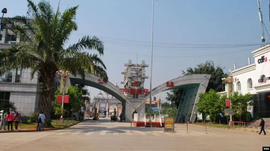
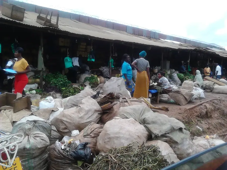
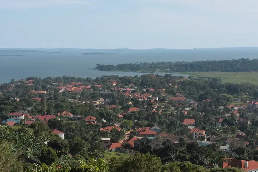
Explore nearby
Notable places around
Route planner — Car & Motorhome
Where do you start? We build the route here, with stops and country notes along the way.
© OpenStreetMap contributors · OpenRouteService
Sights nearby
Frequently asked questions
What is typical for the maize fields?
How long does an exploration take?
Can one take photos here?
When should one visit the area?
Are the fields public?
Maize Fields: where is it located?
Maize Fields: when is the best time to visit?
Maize Fields: why is it worth visiting?

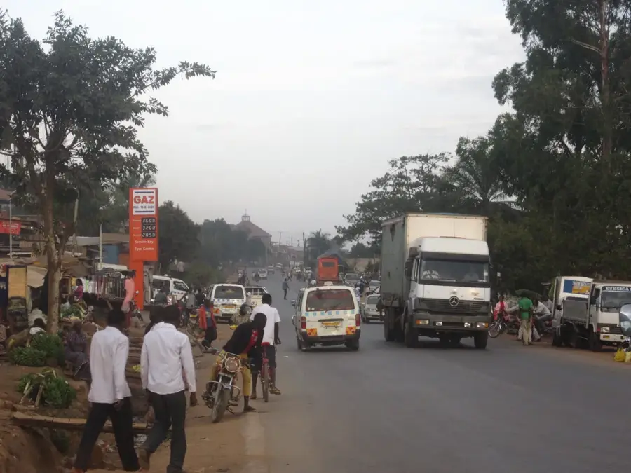
Nearby cities


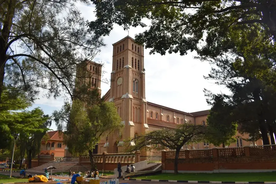

History & landmarks


More places