Plizio Visual Lab
Kawempe
ℹ️Practical info — Kawempe
▾
🌤 Weather — 5 days
📍 Nearby
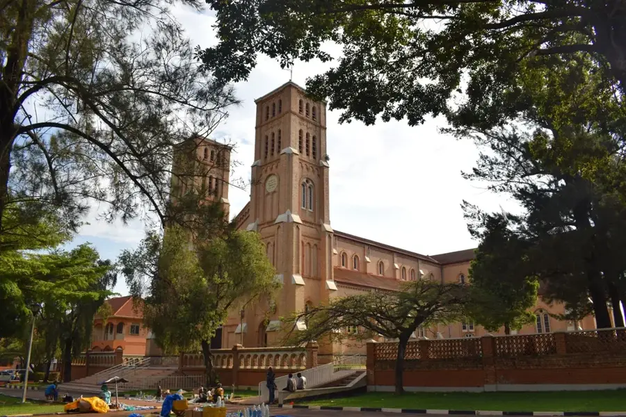
Sights nearby
💡 Tips
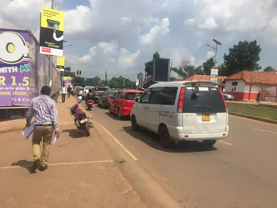
- Traffic on the main Bombo Road can be very heavy; use boda-bodas (motorcycle taxis) for shorter distances, but negotiate the fare first.
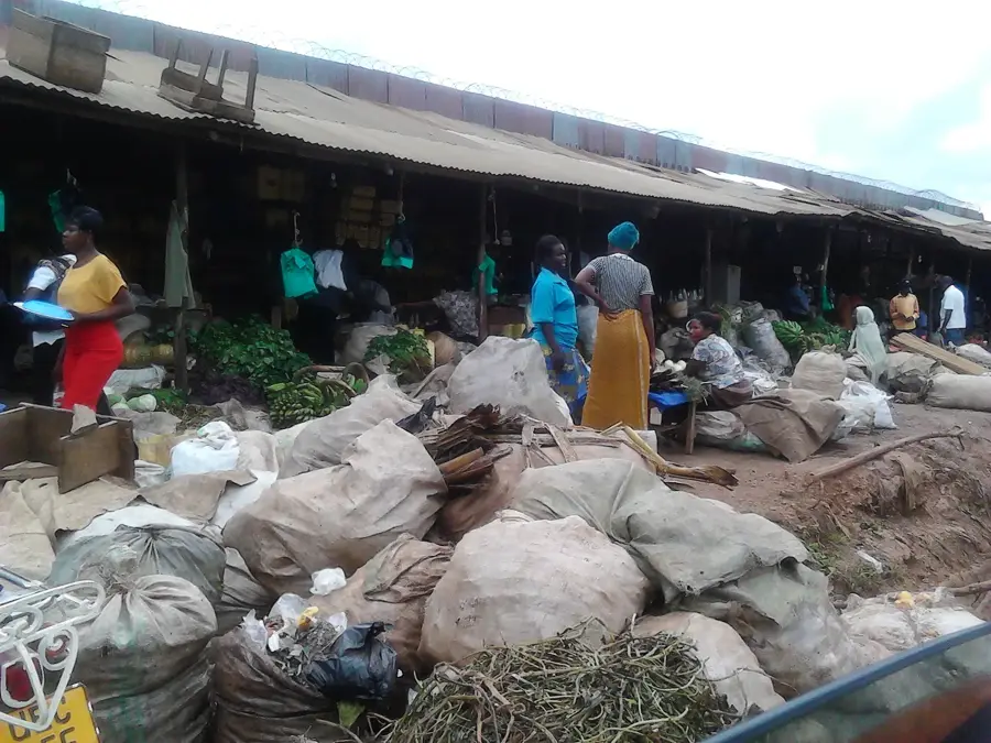
- Kawempe is bustling and commercial; keep an eye on your belongings in crowded market areas.
- Try the local street food early in the evening when it is freshly prepared.
- English and Luganda are widely spoken; learning a basic greeting in Luganda will be much appreciated.
- Visit the local markets in the morning when the fresh produce arrives.
🍽 Food
The ultimate Ugandan street food: rolled eggs in a chapati, found at almost every busy corner in the evening.
Traditional steamed green bananas with stew, available in local diners (hotelis).
Grab some roasted goat or chicken from roadside vendors.
🛍 Shopping · 🧘 Quiet spots
Local markets sell a wide variety of fresh fruits like sweet bananas and pineapples.
Explore the bustling street markets for affordable clothing and shoes.
Located nearby, its large grounds offer a quieter, greener environment for a walk.
The grounds are usually calm outside of service times.
Water temperature…
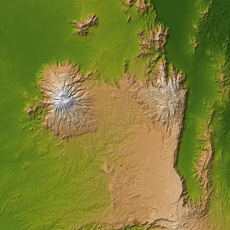
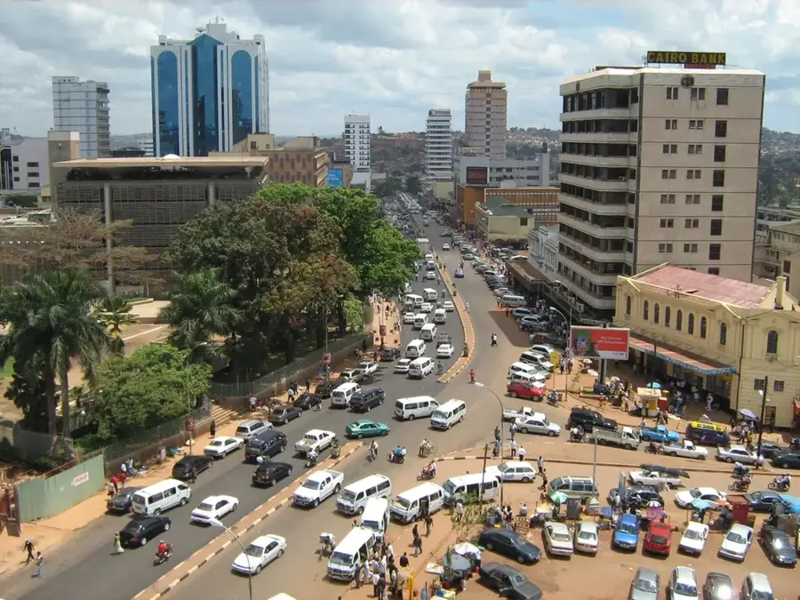
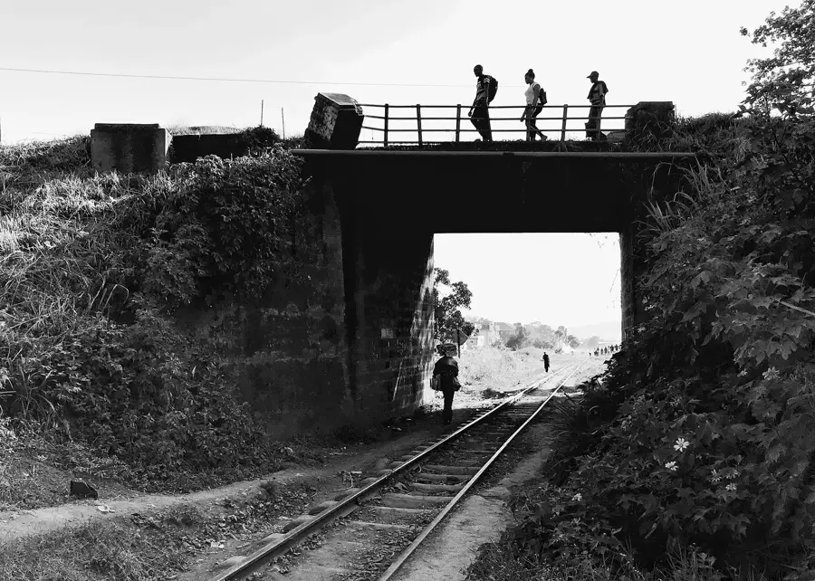
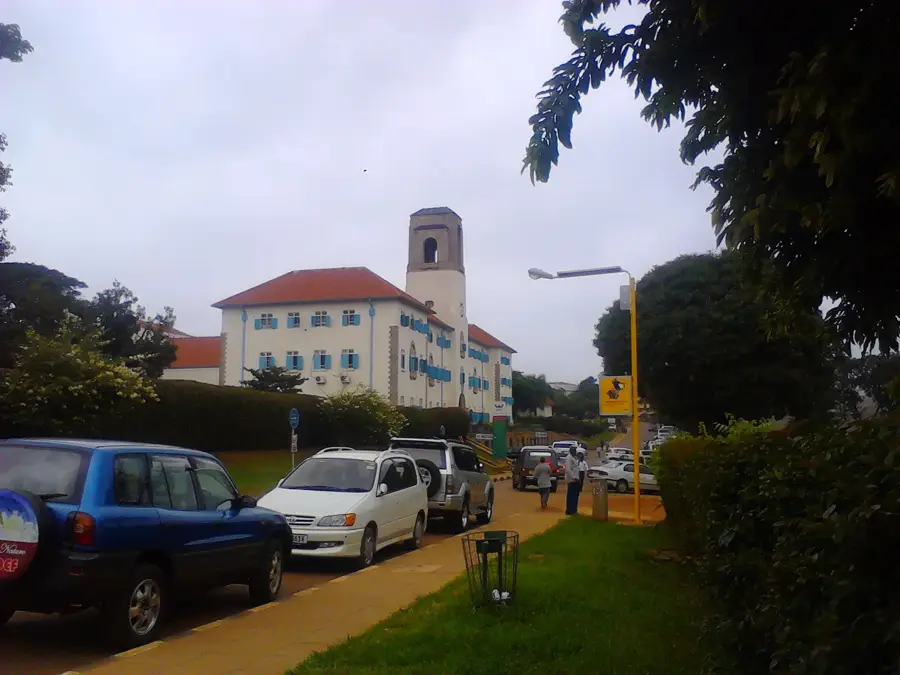
Kawempe is a major administrative division situated in the northwestern part of Kampala, Uganda's capital city. Historically, the area evolved from a small trading center into a dense urban hub following the post-independence expansion of the capital. It is strategically positioned along the Kampala-Gulu Highway, which facilitates significant commercial traffic toward Northern Uganda and South Sudan. The division is characterized by its mixed-use development, housing the Kawempe National Referral Hospital, a vital medical institution commissioned in 2016 to decongest Mulago Hospital. Economically, the Kawempe Industrial Area serves as a backbone for small to medium-scale manufacturing and processing plants. Despite facing challenges like rapid unplanned urbanization and seasonal flooding in lower-lying zones, it remains a critical residential area for a diverse population of low to middle-income earners. The geography is relatively hilly, with elevations averaging around 1,200 meters above sea level, contributing to the varied landscape of the Kampala metropolis.
- Location: Uganda
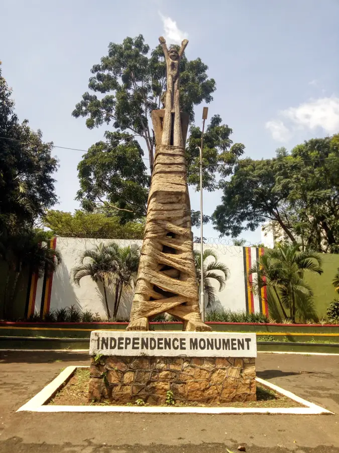
- Top sights: Mutesa Hill · Adnans Wedding
- Nearby: Nansana (4 km)
- Population: ~532.800 (2024)
Best time to visit & climate
The most pleasant time to visit is Jun–Aug.
| Jan | Feb | Mar | Apr | May | Jun | Jul | Aug | Sep | Oct | Nov | Dec | |
|---|---|---|---|---|---|---|---|---|---|---|---|---|
| Avg °C | 24 | 24 | 24 | 22 | 22 | 21 | 22 | 22 | 22 | 22 | 22 | 23 |
| Rain mm | 65 | 66 | 148 | 194 | 158 | 63 | 57 | 88 | 117 | 158 | 166 | 116 |
Geography
Facts
- Kawempe is one of the five constituent divisions of Kampala City.
- The Kawempe National Referral Hospital was commissioned in 2016.
- The division lies along the main highway connecting Kampala to Gulu.
- The average elevation of the Kawempe area is 1,200 meters above sea level.
- It houses the Kawempe Industrial Area, a hub for local manufacturing.
- Rapid urbanization has significantly increased its density since 1990.
Explore nearby
Notable places around
Route planner — Car & Motorhome
Where do you start? We build the route here, with stops and country notes along the way.
© OpenStreetMap contributors · OpenRouteService
Frequently asked questions
What makes Kawempe special as a destination?
Are there any markets in Kawempe?
Is it safe to visit Kawempe?
What transport is available locally?
Are there hotels or accommodation in Kawempe?
Kawempe: where is it located?
Kawempe: what is there to see?
Kawempe: when is the best time to visit?
Kawempe: why is it worth visiting?

Nearby cities
History & landmarks
More places