Plizio Visual Lab
Luweero
ℹ️Practical info — Luweero
▾
🌤 Weather — 5 days
📍 Nearby
Sights nearby
💡 Tips
- Greet people in Luganda with 'Oli otya?' to instantly build a friendly rapport with locals.
- Use boda-bodas for getting around town, but hold on tight as roads can be quite dusty.
- Bargaining is common practice in local markets; approach it with a smile and patience.
- Visit the memorials within the 'Luweero Triangle' to learn about the region's significant history.
- The best time to visit is during the dry seasons (June-August) when rural roads are easier to navigate.
🍽 Food
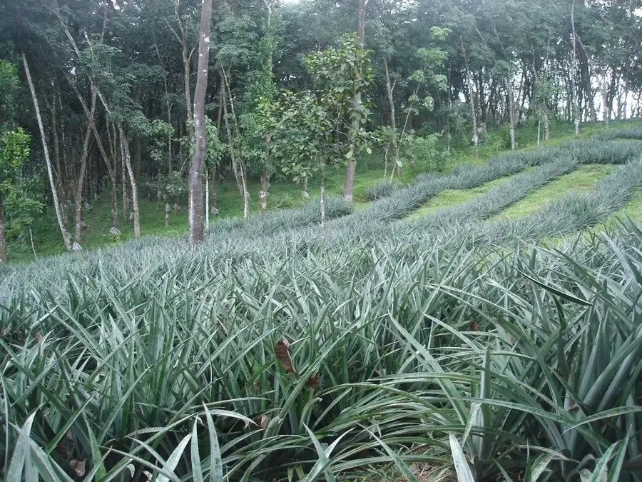
The region is famous for its exceptionally sweet pineapples; buy them fresh from roadside stalls.
A celebratory dish of meat and peanut sauce; the 'Unique Restaurant' on the Gulu highway is a popular spot for it.
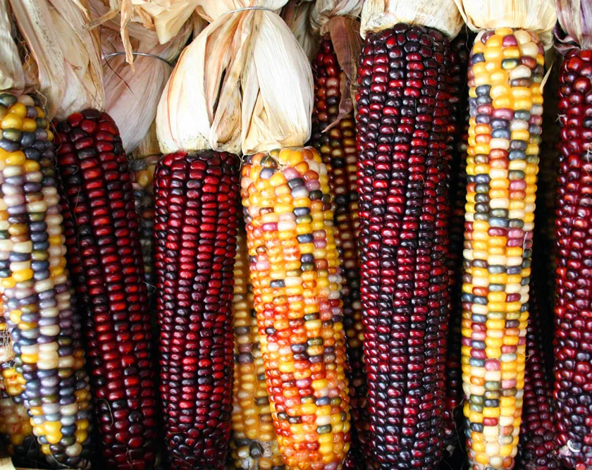
Steamed green bananas and maize porridge, which are the primary staples in almost every local eatery.
🛍 Shopping · 🧘 Quiet spots
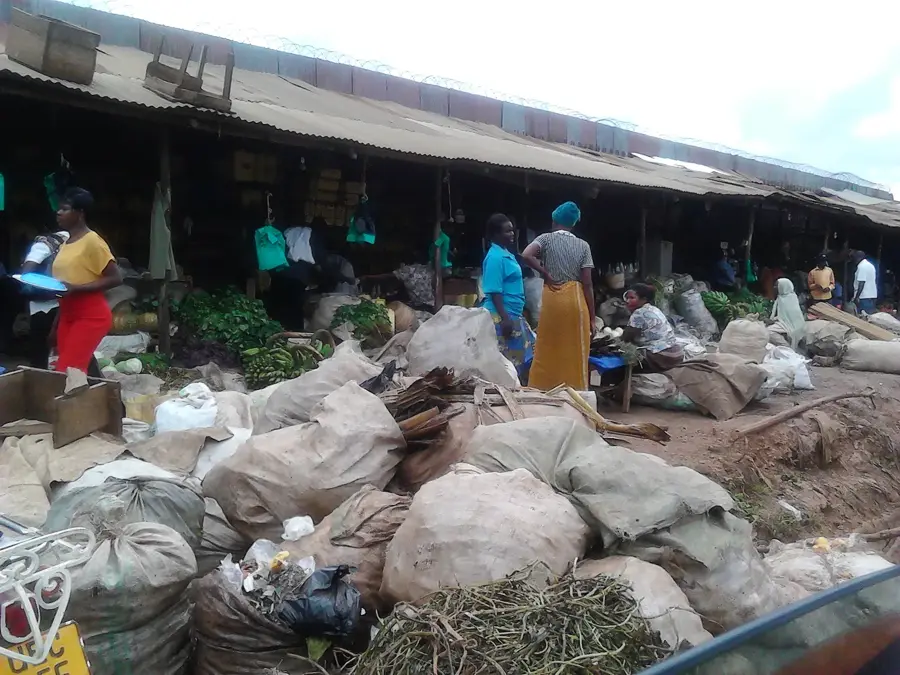
A bustling local market, great for finding fresh agricultural produce and handmade household goods.
Look for items made from traditional bark cloth, a UNESCO-recognized craft unique to the Buganda region.
An untouched forest area home to hundreds of bird species and monkeys; well-suited for reflective nature walks.
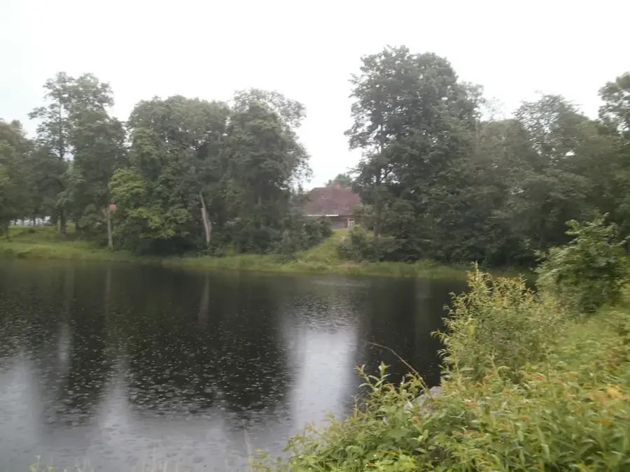
A peaceful lake surrounded by rolling hills, excellent for nature photography and bird watching.
Water temperature…
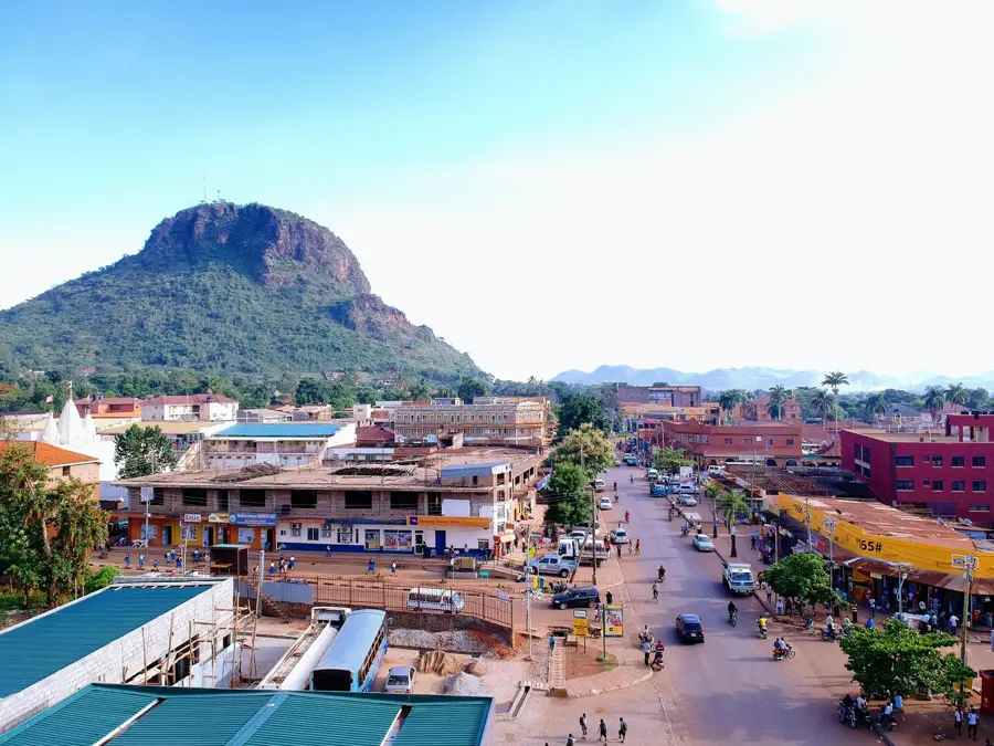
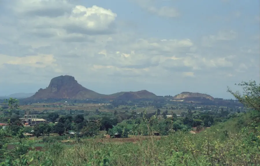
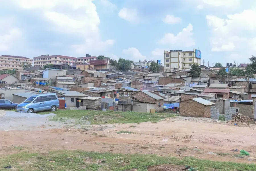
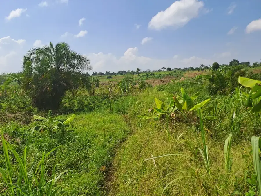
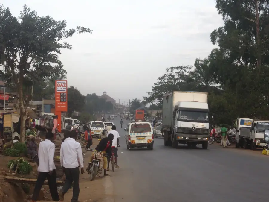
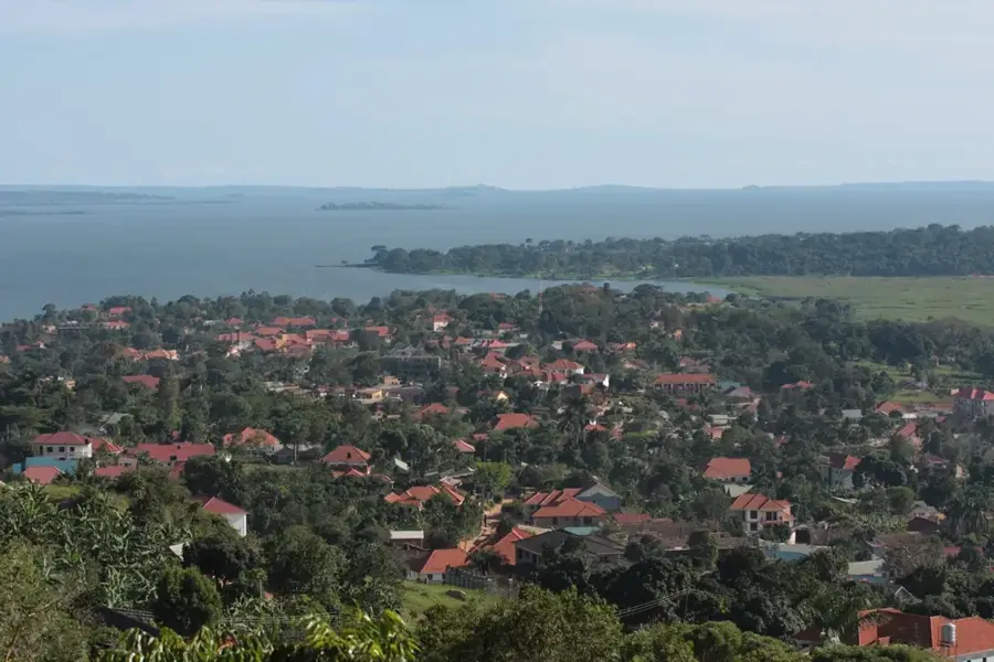
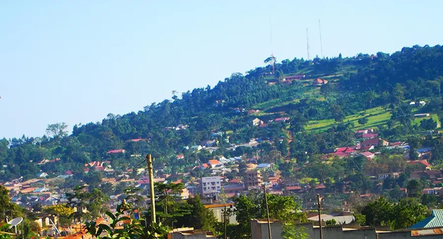
Luweero is a significant town in Central Uganda, situated approximately 75 kilometers north of Kampala along the main highway to Gulu. The town gained international prominence during the Ugandan Bush War (1981-1986), as the surrounding 'Luweero Triangle' was the primary theater of military operations. Today, Luweero thrives as a major commercial hub for the agricultural sector in central Uganda, particularly for the trade of coffee and bananas. The region's fertile soils and reliable rainfall make it one of the country's most productive farming areas. In recent years, Luweero has also emerged as an educational center, hosting several tertiary institutions such as Bugema University. The town serves as a vital transit point for travelers moving between the capital and Northern Uganda, blending historical heritage with contemporary economic growth.
- Location: Uganda
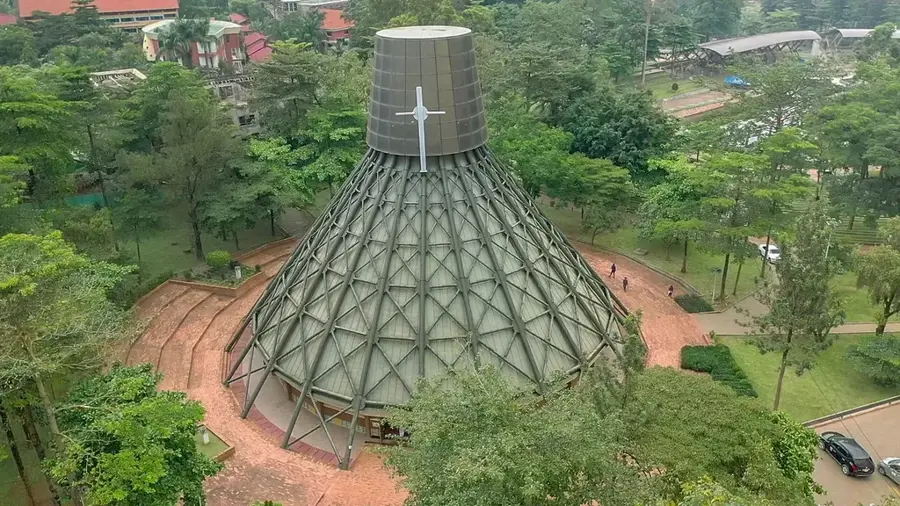
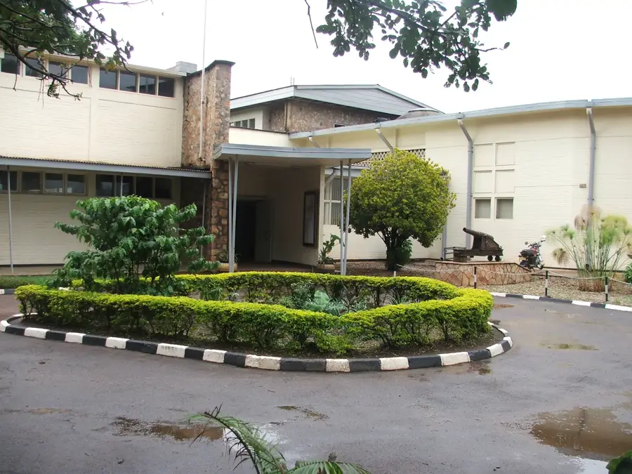
- Top sights: Luweero District · St Mark's Cathedral, Luweero
- Nearby: Wakiso (41 km)
- Population: ~49.100 (2024)
Best time to visit & climate
The most pleasant time to visit is Jan, Jun, Jul.
| Jan | Feb | Mar | Apr | May | Jun | Jul | Aug | Sep | Oct | Nov | Dec | |
|---|---|---|---|---|---|---|---|---|---|---|---|---|
| Avg °C | 25 | 26 | 25 | 23 | 22 | 22 | 22 | 23 | 23 | 23 | 23 | 24 |
| Rain mm | 44 | 48 | 113 | 161 | 138 | 65 | 62 | 92 | 119 | 156 | 138 | 79 |
Geography
Facts
- Luweero is strategically located 75 km north of the capital city, Kampala.
- The town was the epicenter of the Ugandan Bush War between 1981 and 1986.
- It serves as the administrative headquarters for the Luweero District.
- Coffee and bananas (matooke) are the primary agricultural products traded here.
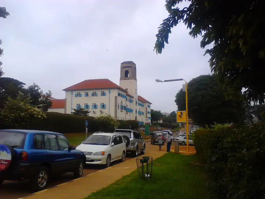
- The town is home to or near several universities, including Bugema University.
- The 'Luweero Triangle' is recognized as a key agricultural zone in Central Uganda.
Explore nearby
Notable places around
Route planner — Car & Motorhome
Where do you start? We build the route here, with stops and country notes along the way.
© OpenStreetMap contributors · OpenRouteService
Sights in the town Luweero (2)
Frequently asked questions
How long should one stay in Luweero?
When is the best time to visit Luweero?
How to get to Luweero?
Local food in Luweero?
Is Luweero family-friendly?
Luweero: where is it located?
Luweero: what is there to see?
Luweero: when is the best time to visit?
Luweero: why is it worth visiting?

Nearby cities


History & landmarks


More places