Plizio Visual Lab
Mityana
ℹ️Practical info — Mityana
▾
🌤 Weather — 5 days
📍 Nearby
Sights nearby
💡 Tips
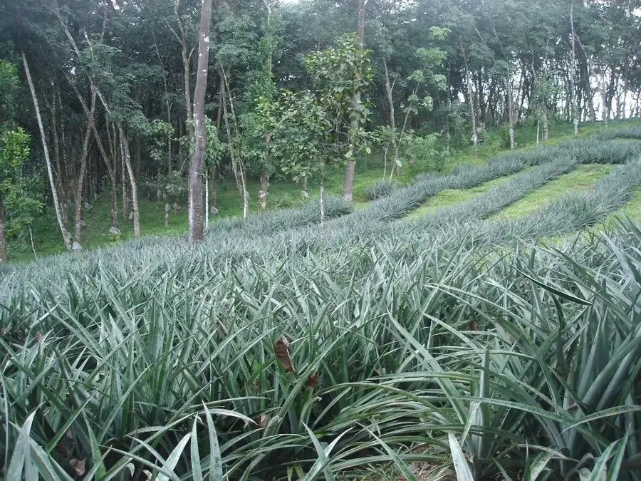
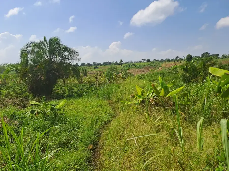
- Visit the tea plantations surrounding the town for a scenic walk; the bright green hills are iconic to this region.
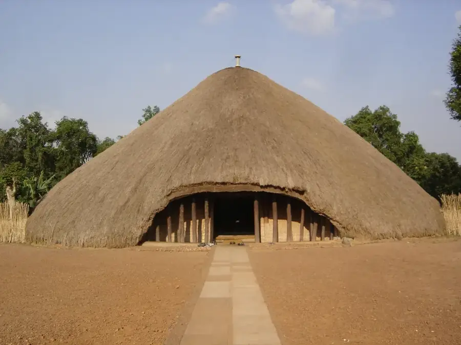
- The Nakayima Shrine on the hill is a spiritual landmark centered around a 500-year-old tree sacred to the Buganda people.
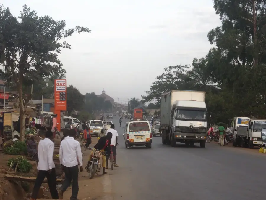
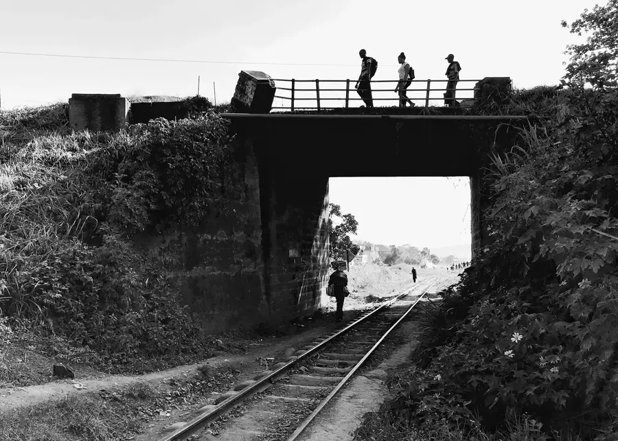
- Boda-bodas are the main transport; always agree on the fare before starting your journey.
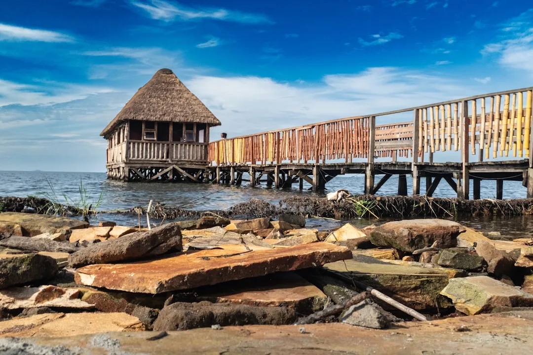
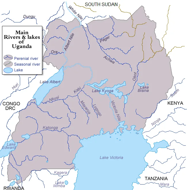
- Head to Lake Wamala for a peaceful retreat and birdwatching away from the dusty town center.
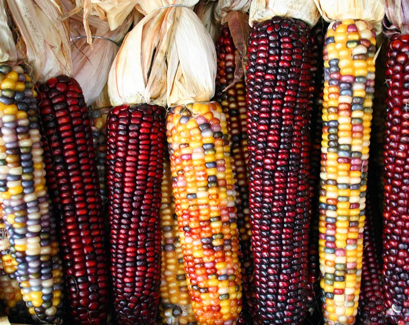
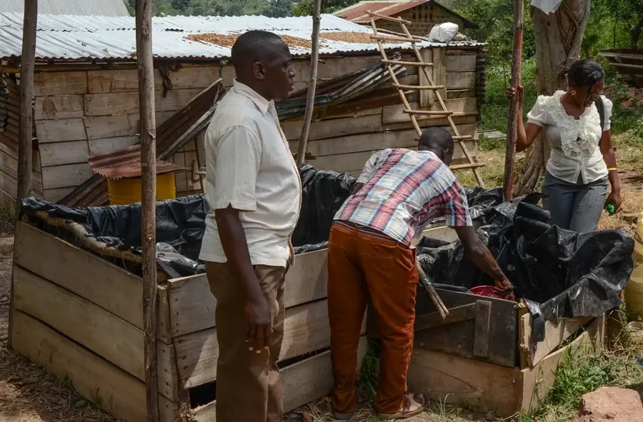
- Mityana is a coffee hub; look for local farm tours to buy freshly processed beans directly from the source.
🍽 Food
A traditional stew steamed in banana leaves; try it at Wamala Restaurant for an authentic taste.
Sourced from nearby Lake Wamala, usually served grilled or fried with matooke.
The classic Ugandan rolled omelet in a chapati, first-rate for a quick bite at roadside stalls.
🛍 Shopping · 🧘 Quiet spots
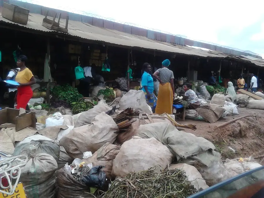
The heart of town commerce; great for fresh produce and hand-woven mats.
Look for traditional Buganda barkcloth items and wood carvings near the shrine entrance.
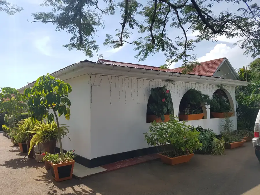
A serene garden spot on the shores of Lake Wamala, excellent for a quiet afternoon.
A peaceful escape with wide views over the district's rural landscape.
Water temperature…
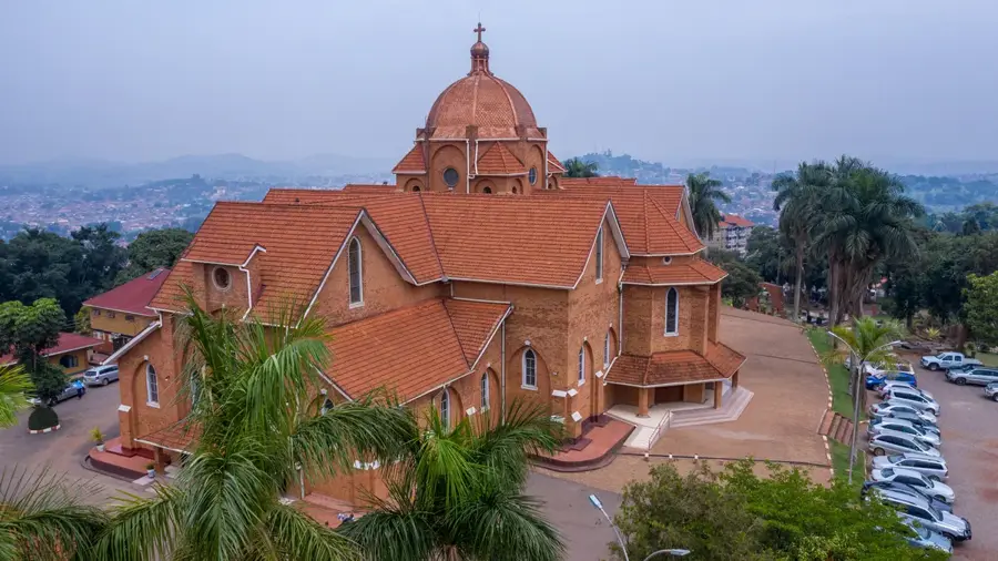
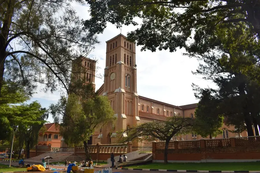
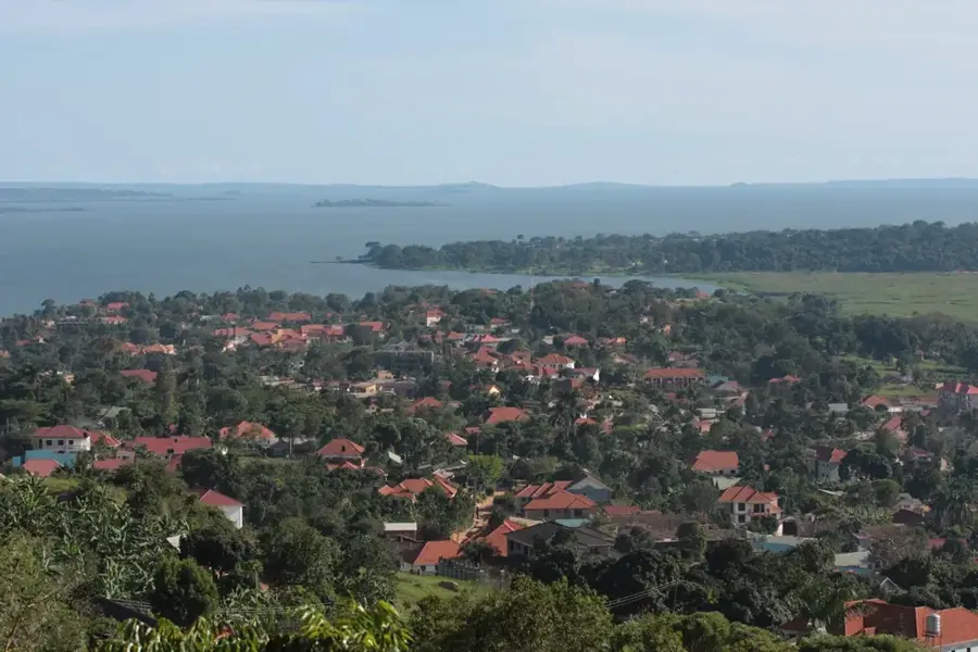
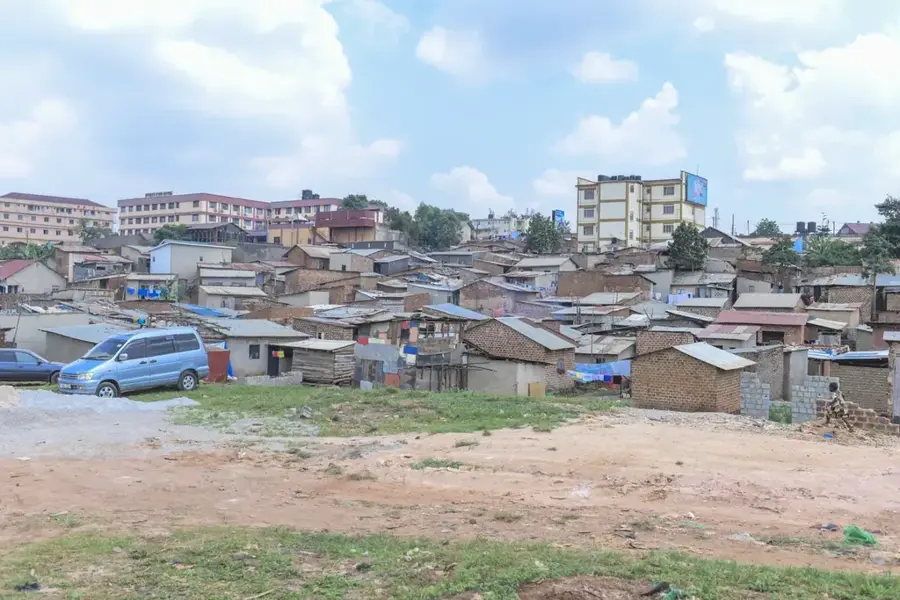
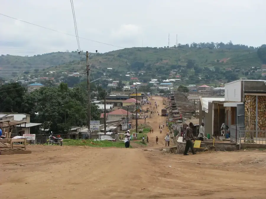
Mityana is a bustling municipality in the Central Region of Uganda, located approximately 77 kilometers west of Kampala along the highway leading to Fort Portal and the border with the Democratic Republic of the Congo. Historically, the town served as the administrative center for Singo County within the Buganda Kingdom, playing a crucial role in the region's traditional governance and social structure. Geographically, Mityana sits at an elevation of about 1,200 meters and is situated in a fertile plateau region characterized by its suitability for large-scale coffee and tea cultivation. The municipality was formally elevated to its current status in 2015, reflecting its rapid urban growth and its role as a key transit hub for goods moving between the capital and the western districts. Cultural life in Mityana is heavily influenced by its status as the seat of the Anglican and Catholic dioceses, with prominent cathedrals serving as local landmarks. The town also acts as a primary market center for agricultural produce, supporting a diverse population engaged in trade and services.
- Location: Uganda
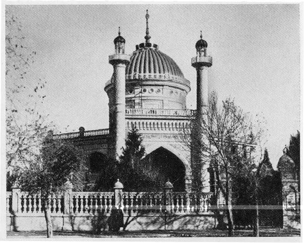
- Top sights: Roman Catholic Diocese of Kiyinda-Mityana · Diocese of Kasana-Luweero · St Andrew's Cathedral, Namukozi
- Nearby: Mpigi (37 km)
- Population: ~105.200 (2024)
Best time to visit & climate
The most pleasant time to visit is Jan, Jun, Jul.
| Jan | Feb | Mar | Apr | May | Jun | Jul | Aug | Sep | Oct | Nov | Dec | |
|---|---|---|---|---|---|---|---|---|---|---|---|---|
| Avg °C | 23 | 23 | 23 | 21 | 21 | 21 | 21 | 21 | 22 | 21 | 21 | 22 |
| Rain mm | 54 | 61 | 133 | 169 | 157 | 62 | 58 | 93 | 128 | 162 | 153 | 101 |
Geography
Facts
- Located approximately 77 kilometers west of the capital city, Kampala.
- Formerly the headquarters of Singo County within the Buganda Kingdom.
- Elevated to municipality status by the Ugandan Parliament in 2015.
- Sits at an average elevation of 1,200 meters above sea level.
- Major center for the commercial production of coffee and tea.
- Serves as the administrative seat for both Anglican and Catholic dioceses.
Explore nearby
Notable places around
Route planner — Car & Motorhome
Where do you start? We build the route here, with stops and country notes along the way.
© OpenStreetMap contributors · OpenRouteService
Sights in the town Mityana (3)
Frequently asked questions
What is Mityana?
How long to plan?
What to do?
Is it a tourist destination?
When to visit?
Mityana: where is it located?
Mityana: what is there to see?
Mityana: when is the best time to visit?
Mityana: why is it worth visiting?

Nearby cities


History & landmarks

More places