Plizio Visual Lab
Mount Afi

Weather…
Water temperature…
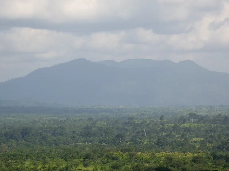
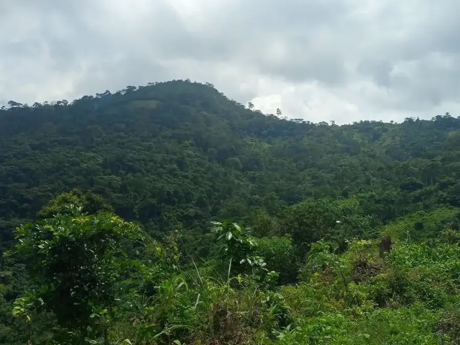
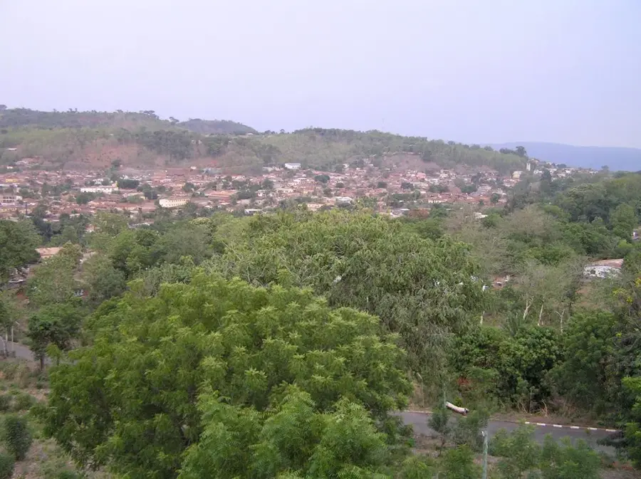
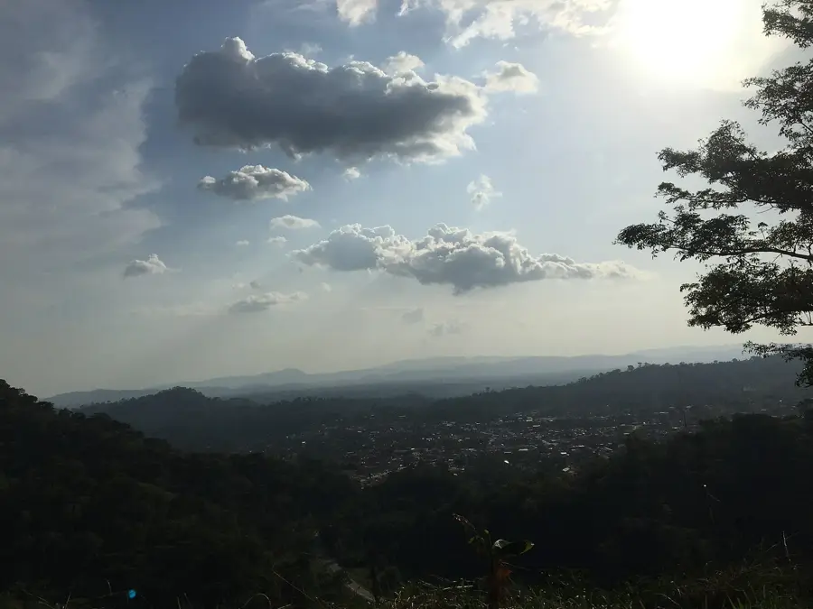
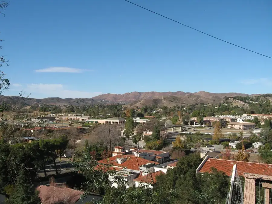
Mount Afi is a significant elevation in the Plateaux Region of south-central Togo, situated near the city of Atakpamé. Standing at approximately 824 meters above sea level, it forms a striking point within the Atakora mountain range. The geological composition is characterized by metamorphic rocks, specifically quartzite and gneiss, which give the mountain its rugged contours. The slopes of Mount Afi are renowned for their fertile soils, which are intensively used for coffee and cocoa cultivation, often grown under the shade of larger trees. The climate is more humid than the surrounding plains due to the orographic lift of the mountains, leading to the formation of lush forest pockets. Historically, the area around Atakpamé and Mount Afi was a strategic crossroads between the coast and the hinterland. Today, the mountain is not only an important producer of export crops but also has hiking trails for nature enthusiasts who can enjoy vast views over the Plateaux Region.
- Location: Togo
- Nearby: Kpalimé (21 km)
Best time to visit & climate
The most pleasant time to visit is Jan, Nov, Dec.
| Jan | Feb | Mar | Apr | May | Jun | Jul | Aug | Sep | Oct | Nov | Dec | |
|---|---|---|---|---|---|---|---|---|---|---|---|---|
| Avg °C | 26 | 28 | 27 | 27 | 26 | 25 | 24 | 24 | 25 | 25 | 26 | 26 |
| Rain mm | 14 | 28 | 72 | 100 | 134 | 172 | 190 | 139 | 202 | 145 | 32 | 14 |
📋 Practical info
Geography
Facts
- The official elevation of Mount Afi is 824 meters.
- The mountain belongs to the central range of the Togo Mountains.
- It is located in close proximity to the provincial capital, Atakpamé.
- The region is a major cultivation area for Togolese highland coffee.
- Geologically, Precambrian gneiss formations dominate the area.
- The average annual rainfall in the region is 1400 mm.
Explore nearby
Notable places around
Route planner — Car & Motorhome
Where do you start? We build the route here, with stops and country notes along the way.
© OpenStreetMap contributors · OpenRouteService
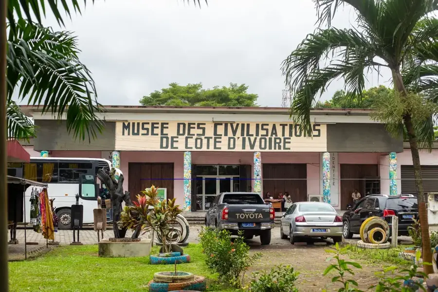
Sights in the town Mount Afi (1)
Sights nearby
Frequently asked questions
What characterizes Mount Afi?
Is the peak hard to reach?
Are there any dangers?
Do you need a permit?
When is the light best for photos?
Mount Afi: where is it located?
Mount Afi: when is the best time to visit?
Mount Afi: why is it worth visiting?

Nearby cities

History & landmarks
Nature
More places