Plizio Visual Lab
Djogbévi Mountain

Weather…
Water temperature…
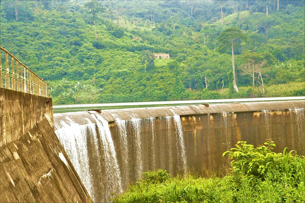
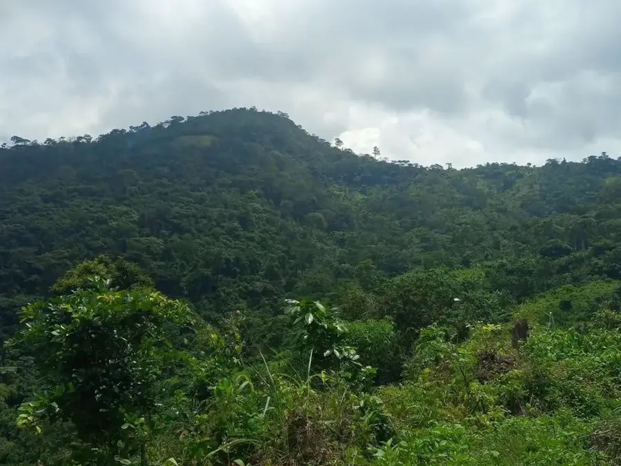
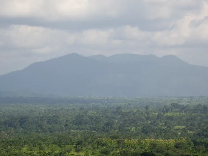
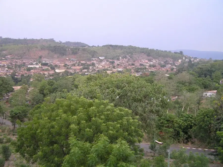
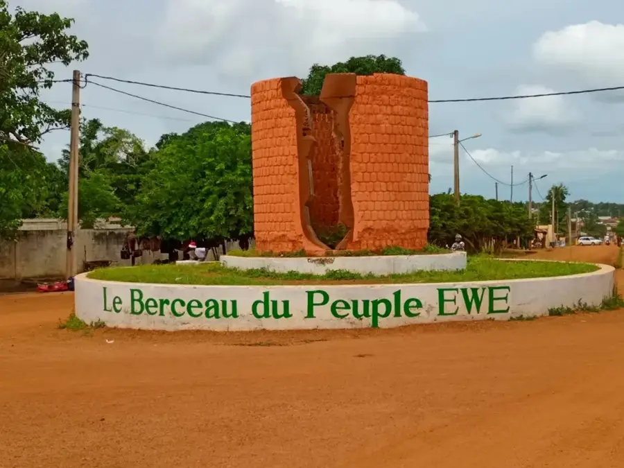
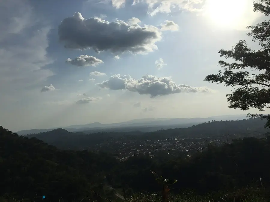
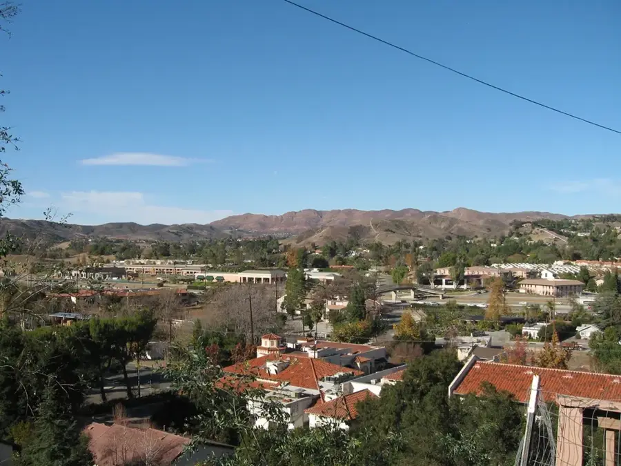
Djogbévi Mountain is a prominent elevation in the Haho Prefecture of southern Togo, located near the city of Notsé. Standing at approximately 500 meters, it rises significantly above the surrounding plain and forms part of the rolling hill country that marks the transition from the coastal zone to the central plateau. Geologically, the mountain consists primarily of metamorphic rocks such as quartzite schist, which forms characteristic rock formations. The vegetation includes deciduous forests and savannahs, which are often replaced by agricultural fields for maize and cotton in the lower altitudes. Historically, Djogbévi is closely linked to the history of the Ewe people, as it served as a landmark and sanctuary during the migrations from Notsé in the 17th century. Today, the mountain is a site of local legends and is occasionally used for traditional ceremonies. The slopes also offer potential for forestry use and fruit tree cultivation, while the summit serves as a natural viewpoint over the Haho valley.
- Location: Togo
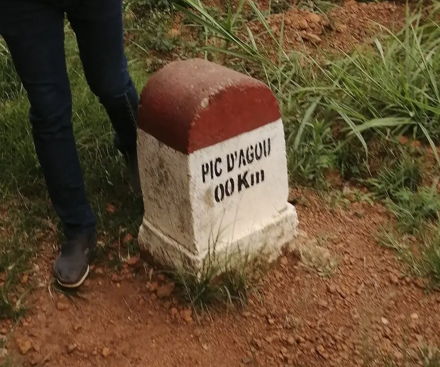
- Nearby: Agou (9 km)
Best time to visit & climate
The most pleasant time to visit is Jan, Nov, Dec.
| Jan | Feb | Mar | Apr | May | Jun | Jul | Aug | Sep | Oct | Nov | Dec | |
|---|---|---|---|---|---|---|---|---|---|---|---|---|
| Avg °C | 27 | 28 | 28 | 28 | 27 | 26 | 25 | 25 | 25 | 26 | 26 | 26 |
| Rain mm | 15 | 30 | 72 | 104 | 143 | 177 | 189 | 145 | 214 | 149 | 32 | 14 |
📋 Practical info
Geography
Facts
- The mountain has a maximum elevation of about 500 meters.
- It is located in the Maritime Region, near the historic city of Notsé.
- The rock consists mainly of Precambrian quartzite schist.
- The Haho River flows past the western foot of the mountain.
- The region receives an average of 1100 mm of rainfall per year.
- The mountain is considered a sacred site for some local Ewe clans.
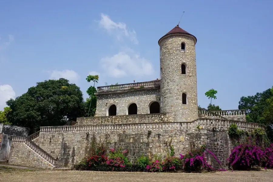
Explore nearby
Notable places around
Route planner — Car & Motorhome
Where do you start? We build the route here, with stops and country notes along the way.
© OpenStreetMap contributors · OpenRouteService
Sights nearby
Frequently asked questions
What characterizes Djogbévi mountain?
Is the peak hard to reach?
Is special equipment needed?
How is the arrival?
Can one wild camp there?
Djogbévi Mountain: where is it located?
Djogbévi Mountain: when is the best time to visit?
Djogbévi Mountain: why is it worth visiting?

Nearby cities
History & landmarks
Nature
More places