Plizio Visual Lab
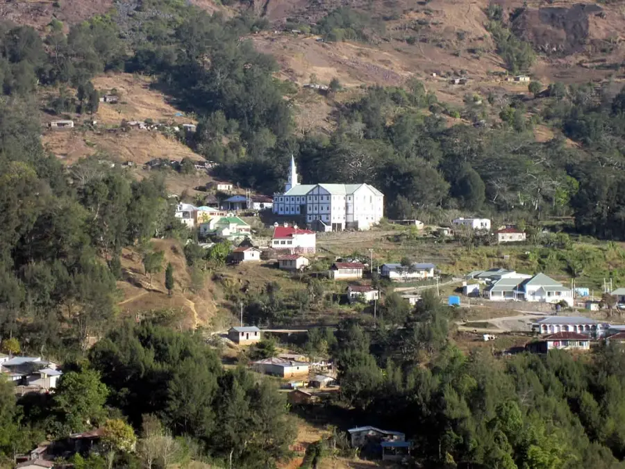
Turiscai
ℹ️Practical info — Turiscai
▾
🌤 Weather — 5 days
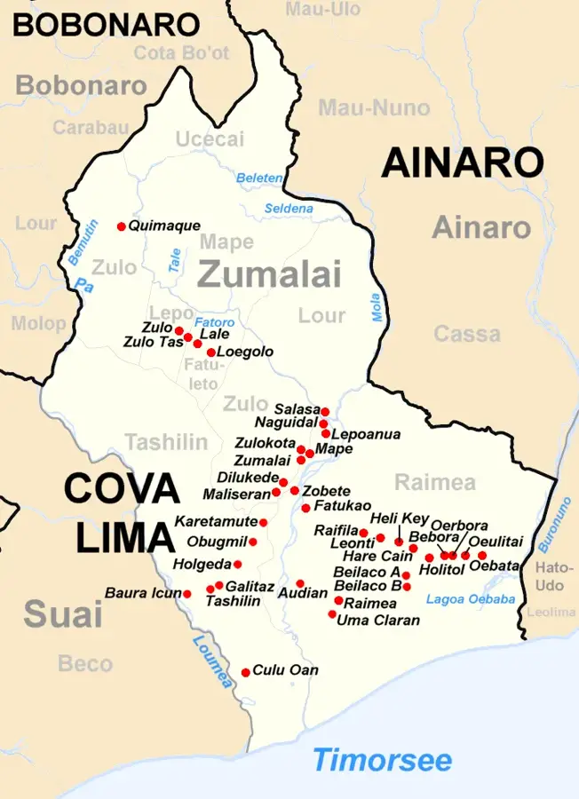
📍 Nearby
Sights nearby
💡 Tips
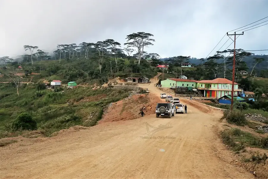
- A 4WD vehicle is essential for navigating the steep, unpaved mountain roads of this region.
- Carry plenty of small-denomination US Dollars as there are no ATMs available in Turiscai.
- Visit during the dry season (May to November) for the best hiking and road conditions.
- The high altitude makes the climate cool and misty; bring a light jacket or windbreaker.
- Hire a local guide fluent in Mambae or Tetum for safe navigation and cultural insights.
🍽 Food
The region is famous for high-altitude organic coffee; look for it in local cooperatives.
Try the local staples prepared by mountain communities in the village centers.
Look for seasonal fruits sold along the mountain roads by local farmers.
🛍 Shopping · 🧘 Quiet spots
Buy freshly roasted beans directly from the C-CAT cooperative members.
Look for hand-woven textiles with unique patterns specific to the Manufahi district.
A dramatic natural canyon offering wide-open views and a moment of reflection.
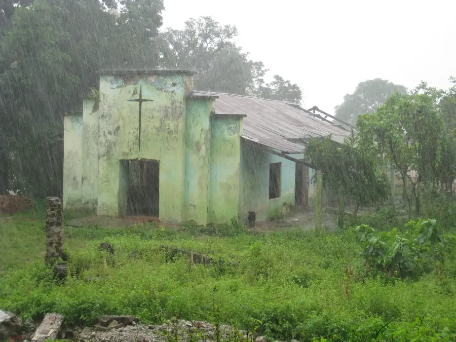
Explore the atmospheric ruins of the old Portuguese colonial guesthouse.
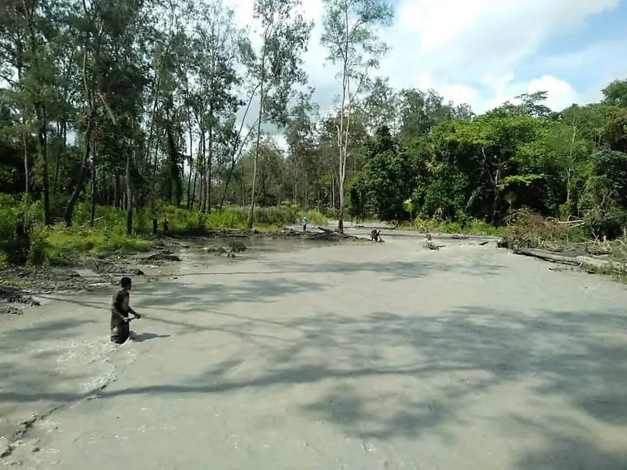
Find peace along the banks of the country's longest river in this highland area.
Water temperature…
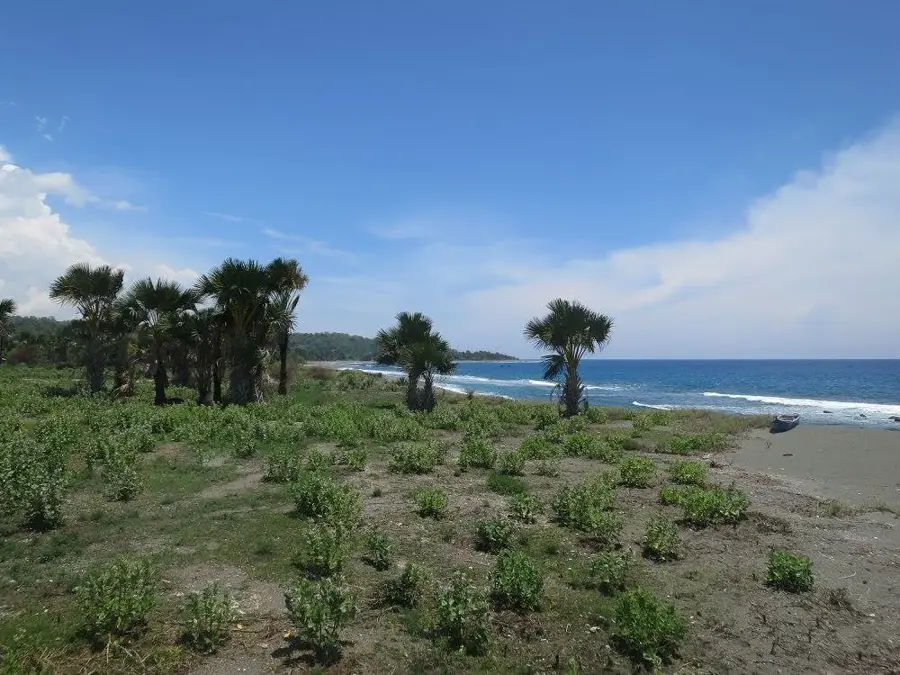
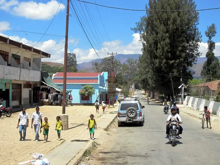
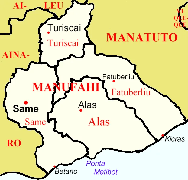
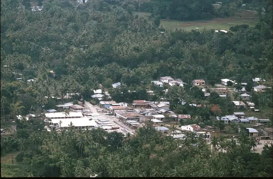
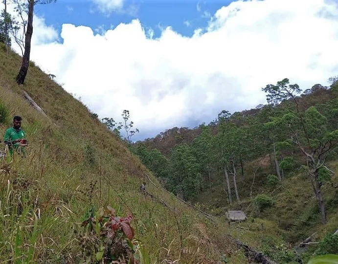
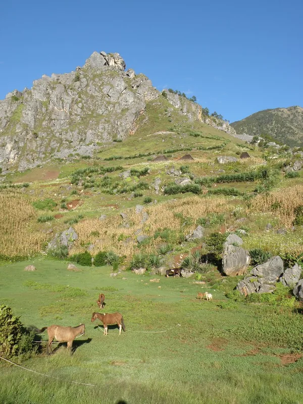
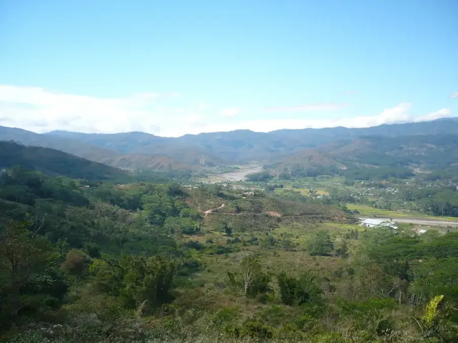
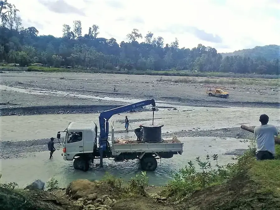
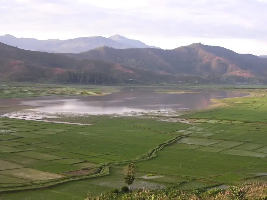
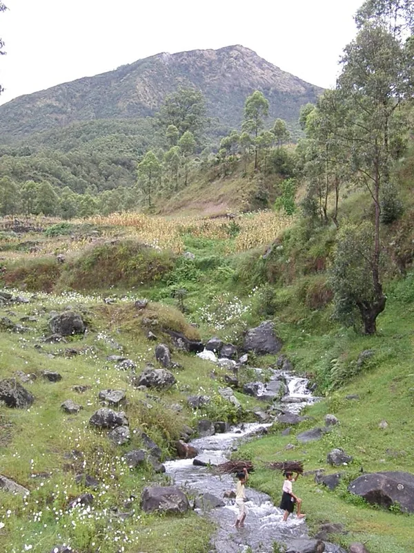
Turiscai is an administrative post in the Manufahi municipality, located in the central highland regions of East Timor. The region is characterized by its rugged mountainous landscape and a cooler climate compared to the coastal plains, which dictates local agricultural practices. Historically, Turiscai played a significant role during the independence struggle against the Indonesian occupation between 1975 and 1999, as the surrounding mountains provided strategic refuge for the resistance. The local economy is based almost entirely on subsistence farming, with the cultivation of coffee, maize, and root vegetables serving as the main livelihood for the population. Despite infrastructural challenges and its isolated location, the area remains an important administrative hub for the surrounding villages. The social structure is deeply rooted in traditional customs, while the Catholic Church plays a central role in the cultural and social life of the community.
- Location: Timor-Leste
- Nearby: Maubisse (12 km)
Best time to visit & climate
The most pleasant time to visit is Jul–Sep.
| Jan | Feb | Mar | Apr | May | Jun | Jul | Aug | Sep | Oct | Nov | Dec | |
|---|---|---|---|---|---|---|---|---|---|---|---|---|
| Avg °C | 24 | 23 | 23 | 23 | 22 | 21 | 21 | 21 | 22 | 24 | 25 | 25 |
| Rain mm | 242 | 205 | 126 | 55 | 37 | 23 | 10 | 4 | 5 | 13 | 57 | 173 |
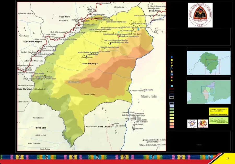
Geography
Facts
- Located in the Manufahi municipality in the central highlands
- Population of approximately 7,000 in the administrative post
- Significant location for coffee cultivation in the region
- High altitude provides a cooler tropical climate
- Strategic site of resistance during the occupation period
- Comprises several sucos (villages) including Liurai and Manumera
Explore nearby
Notable places around
Route planner — Car & Motorhome
Where do you start? We build the route here, with stops and country notes along the way.
© OpenStreetMap contributors · OpenRouteService
Sights in the town Turiscai (1)
Frequently asked questions
How many days should I plan for Turiscai?
What is the best time to visit Turiscai?
What is the best way to get to Turiscai?
Are there any local specialties in Turiscai?
Is Turiscai suitable for families with children?
Turiscai: where is it located?
Turiscai: when is the best time to visit?
Turiscai: why is it worth visiting?

Nearby cities

History & landmarks
Nature

More places