Plizio Visual Lab
Belulik River
Weather…
Water temperature…
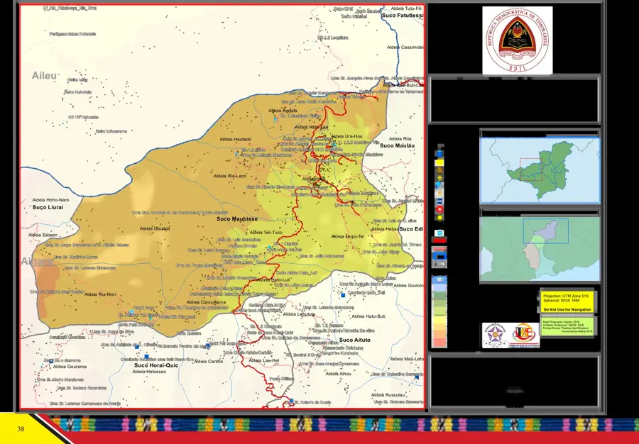
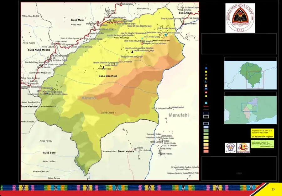
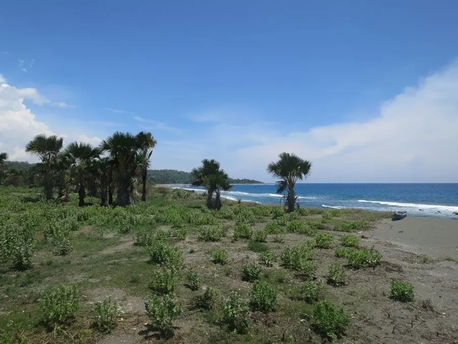
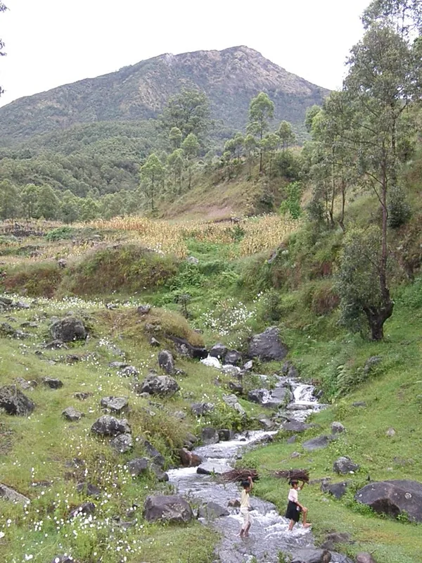
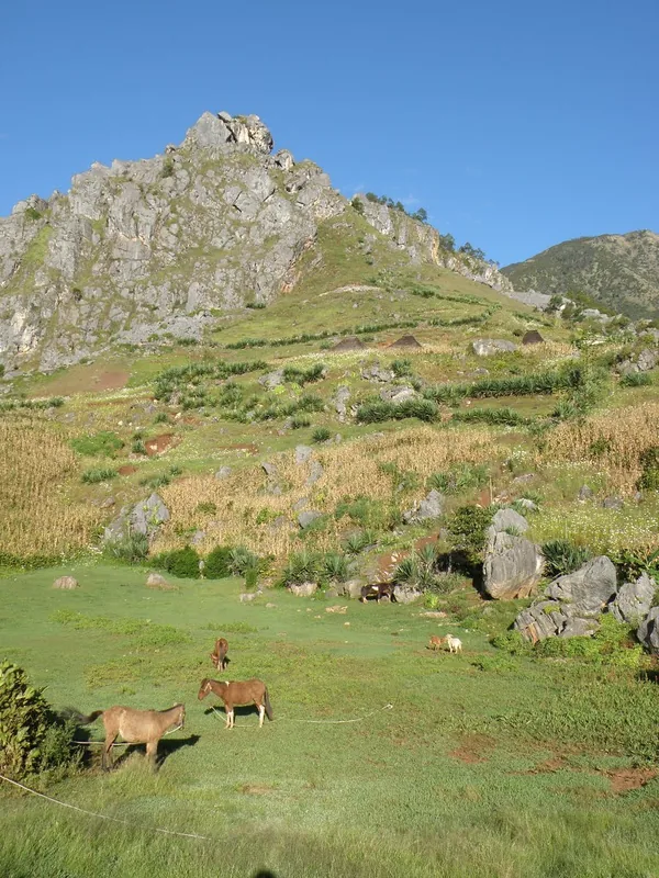
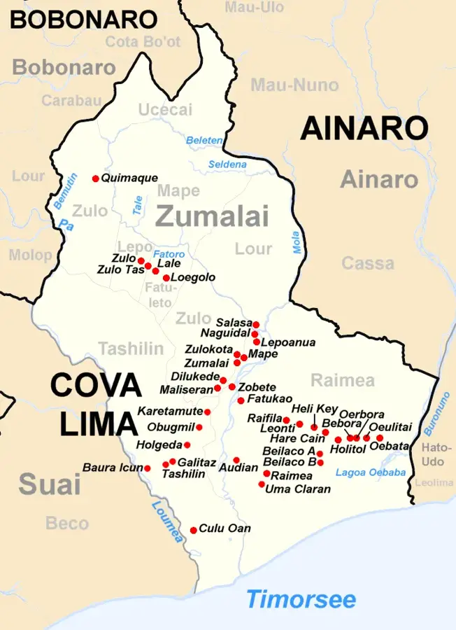
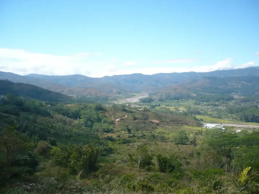
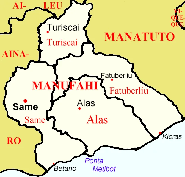
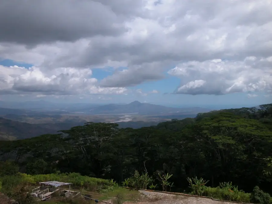
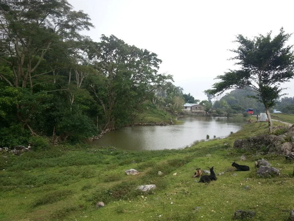
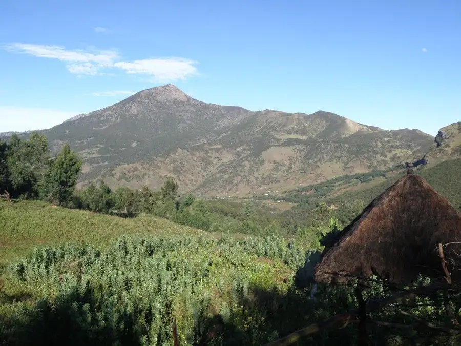
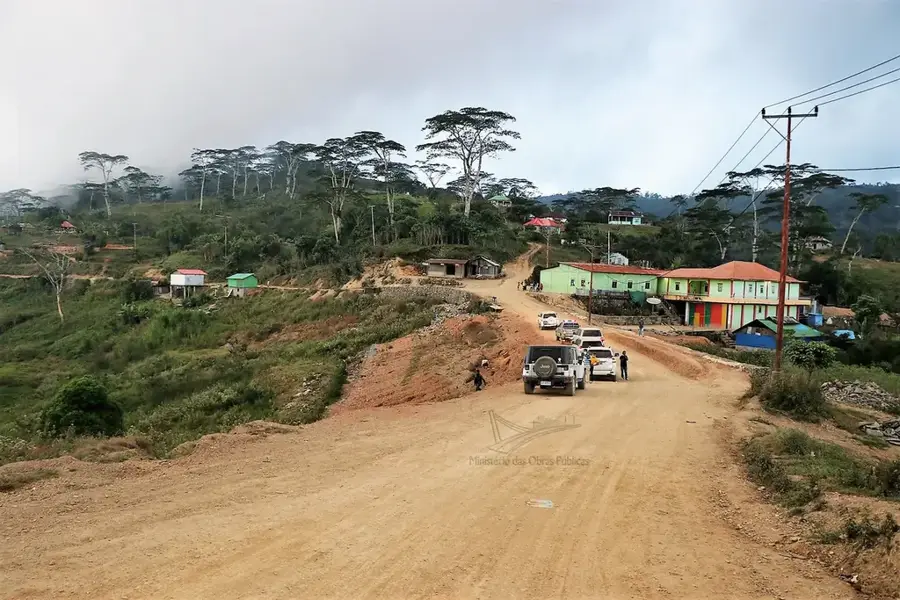
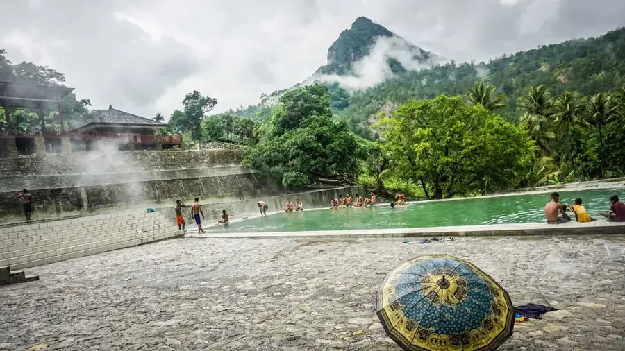
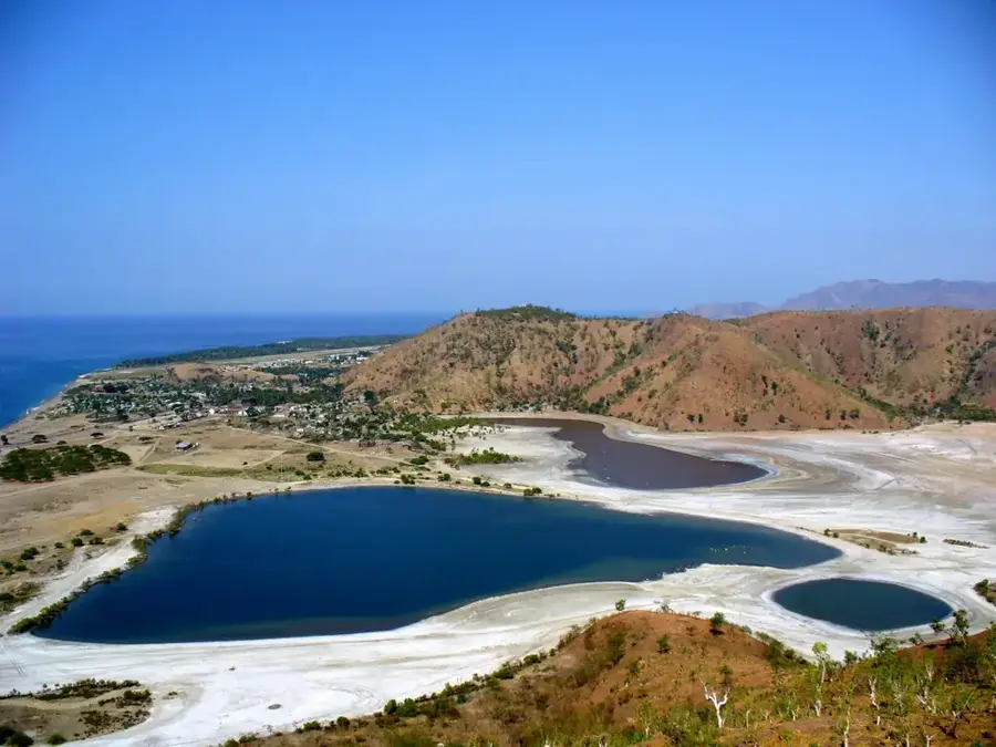
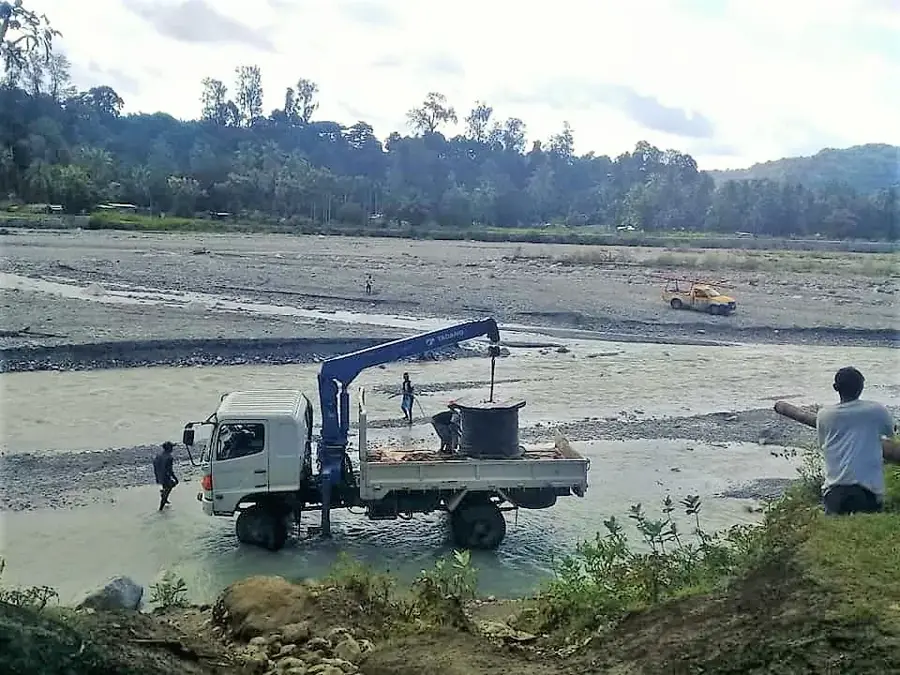
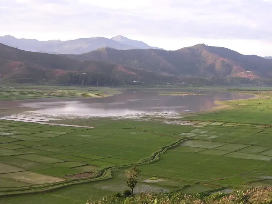
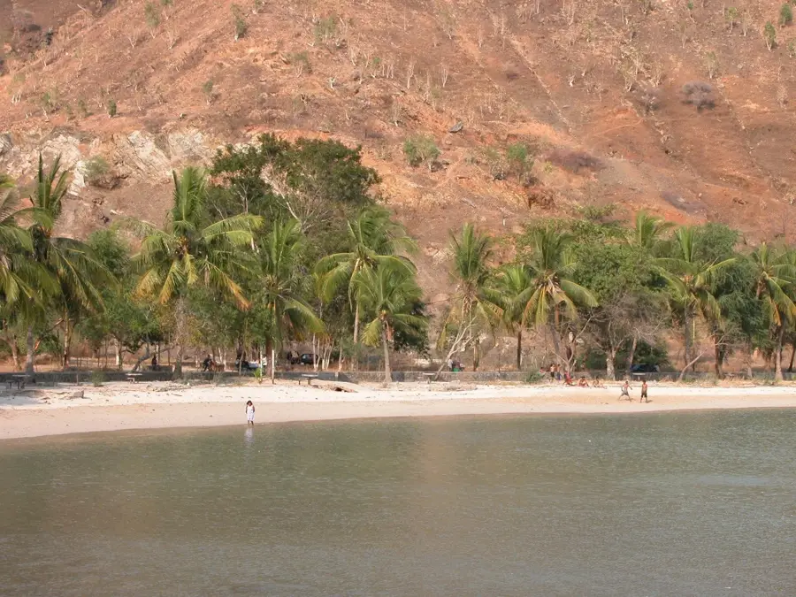
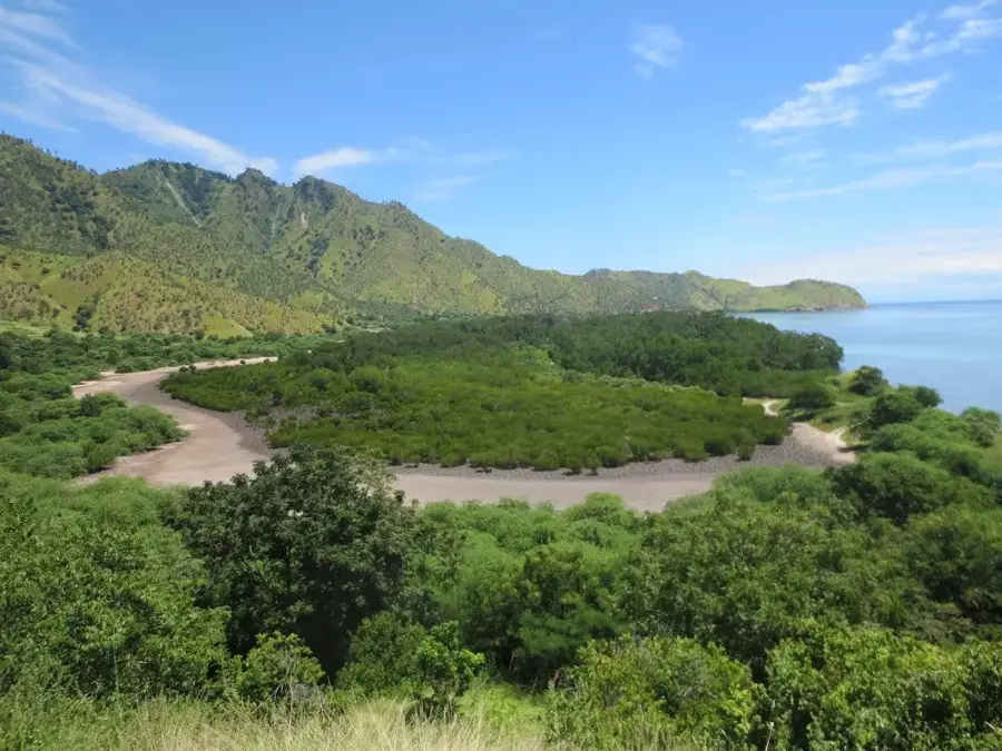
The Belulik River is one of the most significant watercourses in southern Timor-Leste, flowing through the municipalities of Ainaro and Cova Lima. Originating in the central highlands near Mount Ramelau, the river travels approximately 75 kilometers before emptying into the Timor Sea. It plays a vital role in local agriculture, particularly in the irrigation of the fertile plains around Suai, which are among the country's most important rice-growing regions. Geographically, the Belulik is characterized by a wide riverbed that carries massive volumes of water during the monsoon season, while shrinking to small streams during the dry months. The riverbanks are lined with secondary forests and grasslands, providing habitats for various reptiles and water birds. Historically, the river valley served as a crucial route for trade and communication between the highlands and the southern coast. The river mouth forms a complex estuary system rich in marine biodiversity and serves as an important spawning ground for local fish species.
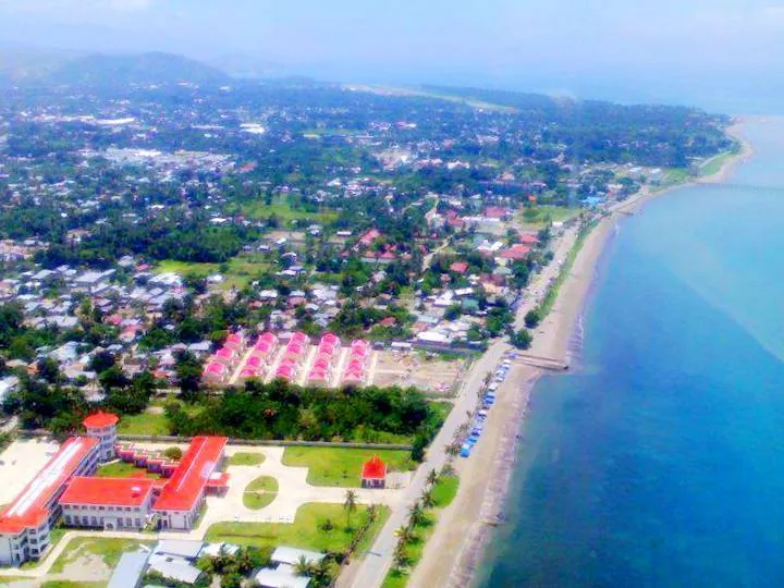
- Location: Timor-Leste
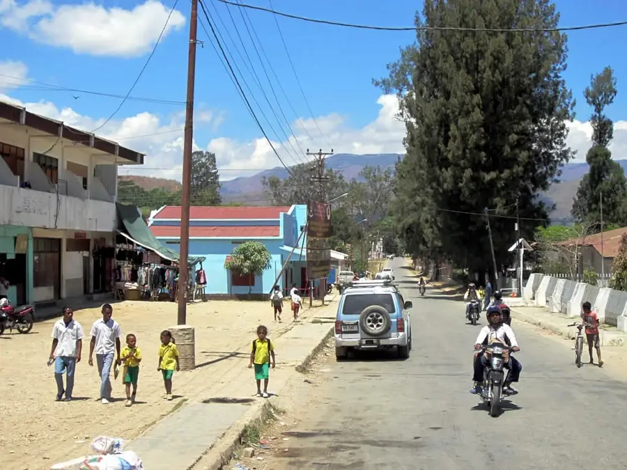
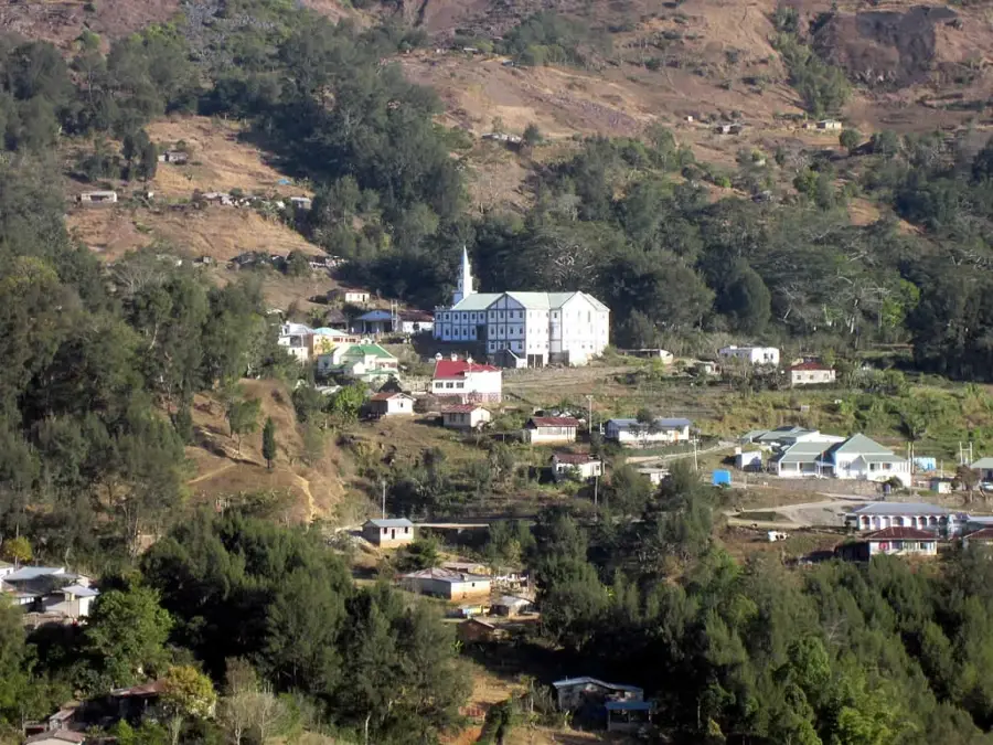
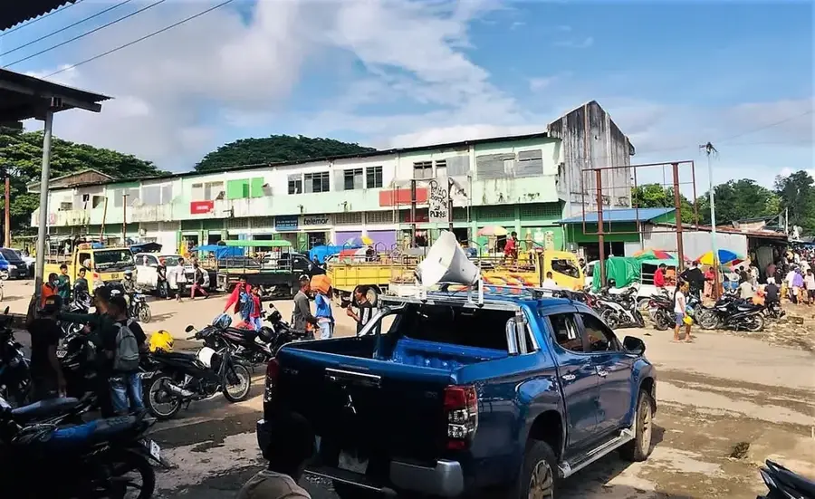
- Nearby: Zumalai (7 km)
Best time to visit & climate
The most pleasant time to visit is Jul–Sep.
| Jan | Feb | Mar | Apr | May | Jun | Jul | Aug | Sep | Oct | Nov | Dec | |
|---|---|---|---|---|---|---|---|---|---|---|---|---|
| Avg °C | 24 | 23 | 23 | 23 | 22 | 21 | 21 | 21 | 22 | 24 | 25 | 25 |
| Rain mm | 242 | 205 | 126 | 55 | 37 | 23 | 10 | 4 | 5 | 13 | 57 | 173 |
📋 Practical info
Geography
Facts
- Flows through Ainaro and Cova Lima municipalities
- Approximate length of 75 kilometers
- Discharges into the Timor Sea in the south
- Vital for irrigation in the Suai plains
- Originates in the central highlands
- Carries high sediment loads during the monsoon
Explore nearby
Notable places around
Route planner — Car & Motorhome
Where do you start? We build the route here, with stops and country notes along the way.
© OpenStreetMap contributors · OpenRouteService
Sights in the town Belulik River (1)
Sights nearby
Frequently asked questions
Is the Belulik river suitable for fishing?
How safe is swimming in the river?
Are there official hiking trails there?
What is the best season for photos?
Is a 4x4 needed?
Belulik River: where is it located?
Belulik River: when is the best time to visit?
Belulik River: why is it worth visiting?

Nearby cities

History & landmarks
Nature


More places