Plizio Visual Lab
Mount Kablaki
Weather…
Water temperature…
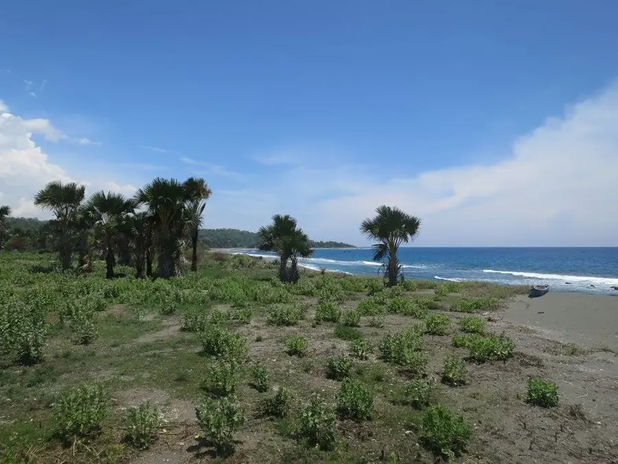
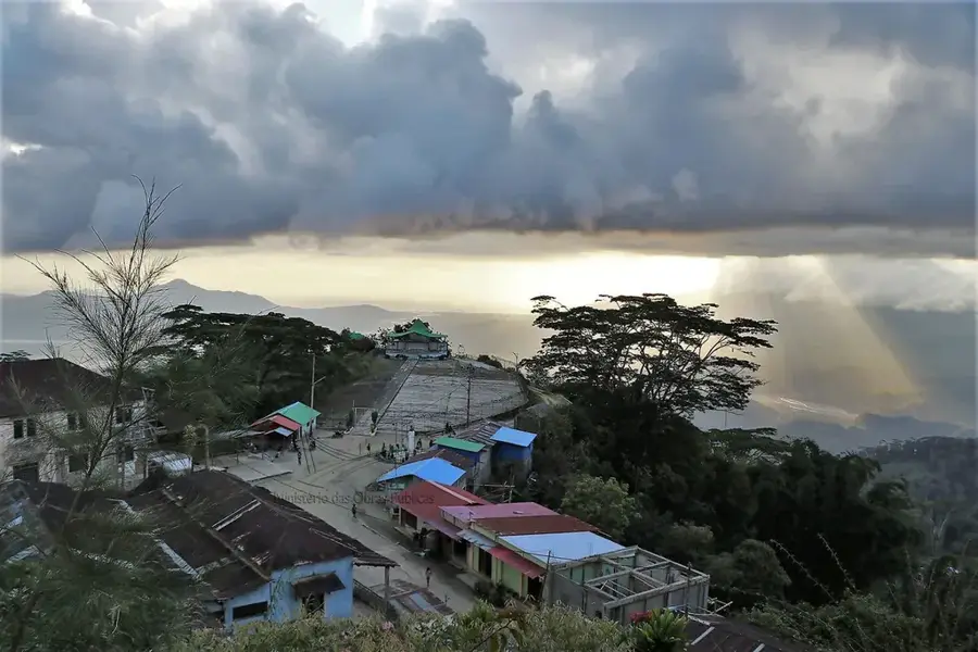
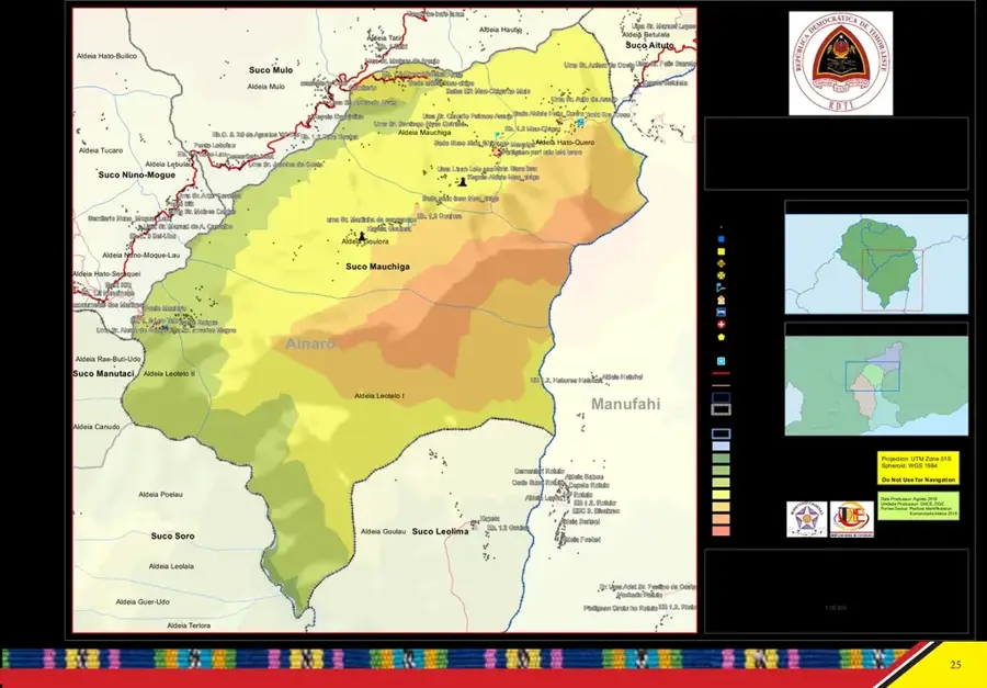
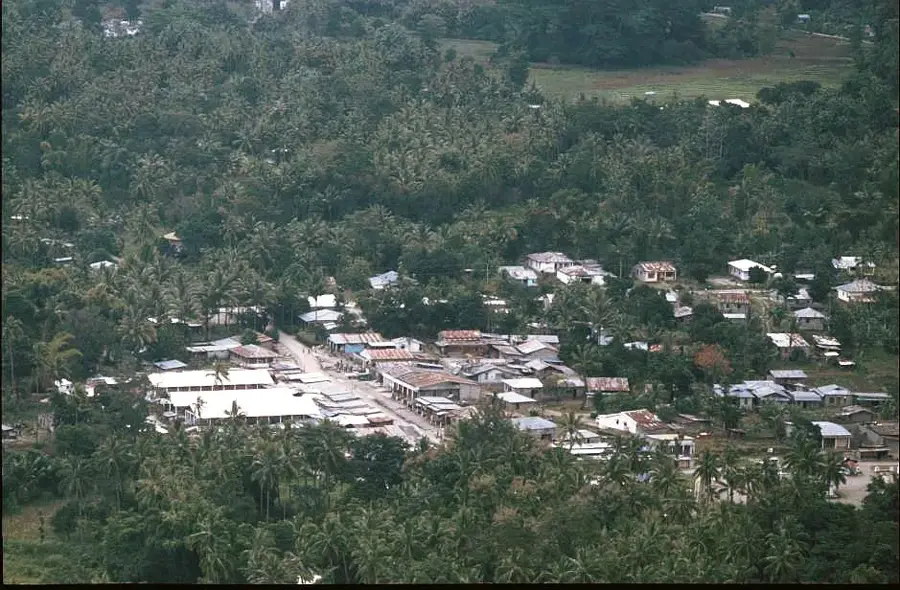
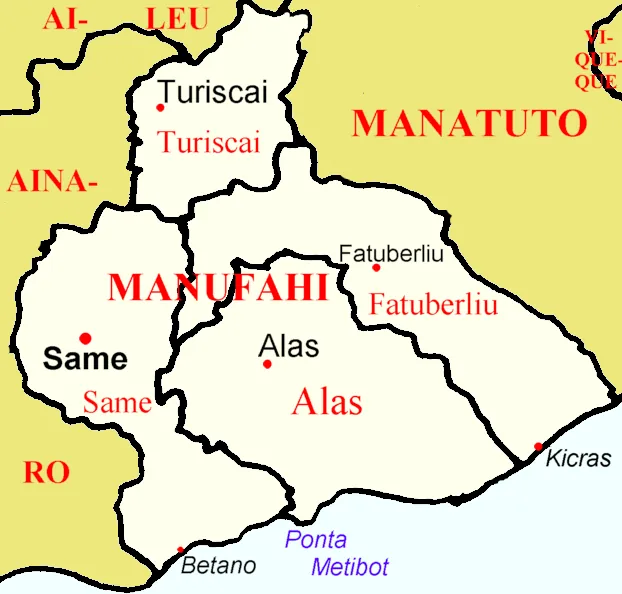
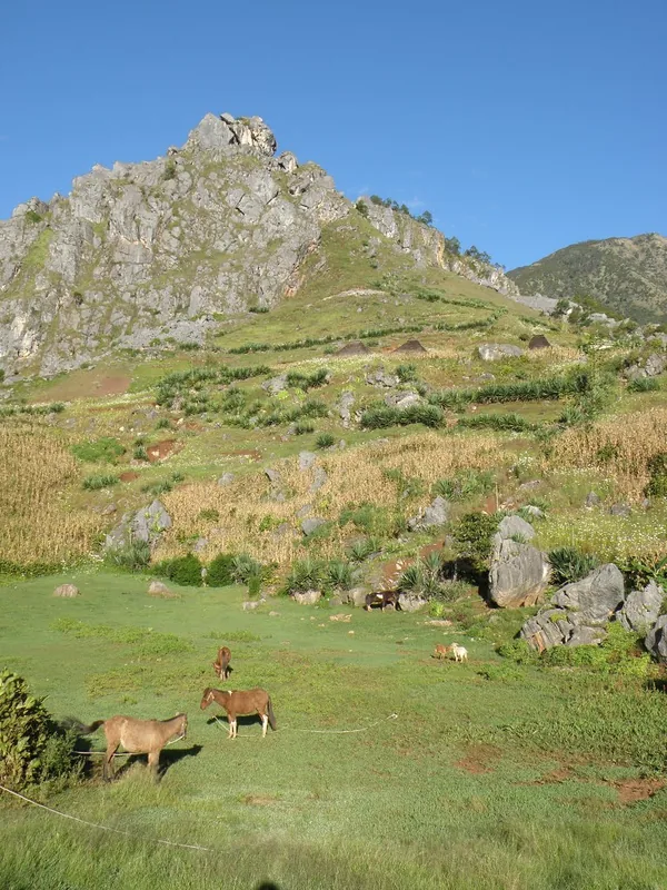
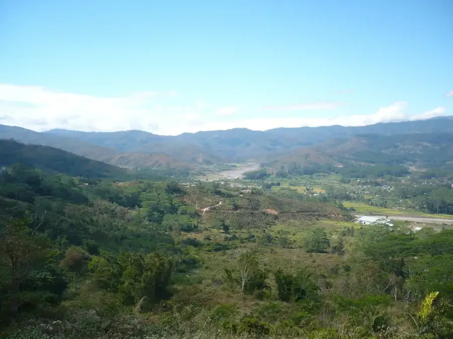
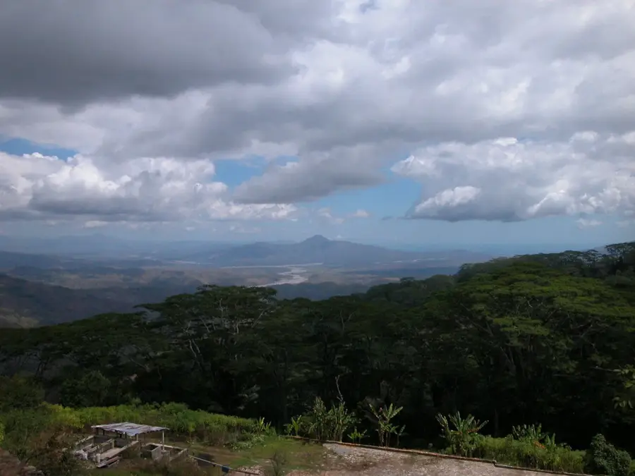
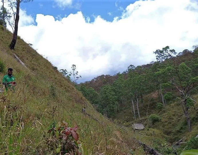
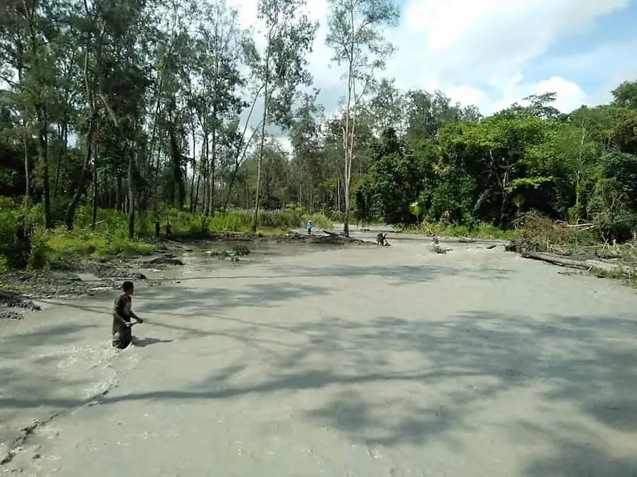
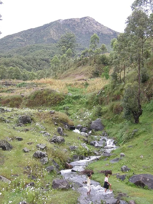
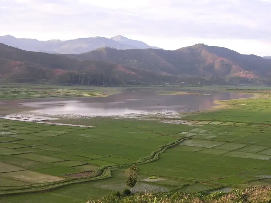
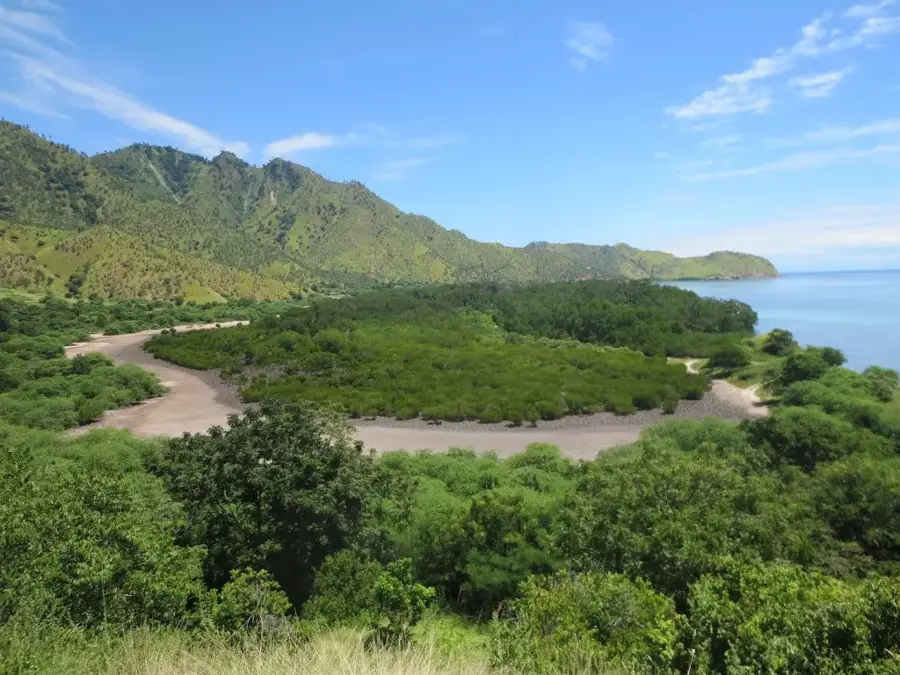
Mount Kablaki, also referred to as Cablac, is a prominent mountain range in central Timor-Leste, spanning the districts of Manufahi and Ainaro. Rising to a maximum elevation of approximately 2,495 meters above sea level, it forms a vital part of the central Ramelau massif and defines the topography near the town of Same. The landscape is characterized by steep limestone cliffs, deep ravines, and dense cloud forests that harbor exceptional biodiversity, including numerous endemic plant and bird species. Historically, the mountain served as a strategic sanctuary for Timorese resistance fighters during the Indonesian occupation from 1975 to 1999. Today, the region is primarily known for high-quality coffee production, which thrives in the cooler climate of the lower slopes. For the local population, Kablaki holds deep spiritual significance and is revered as a sacred site in traditional Timorese mythology.
- Location: Timor-Leste
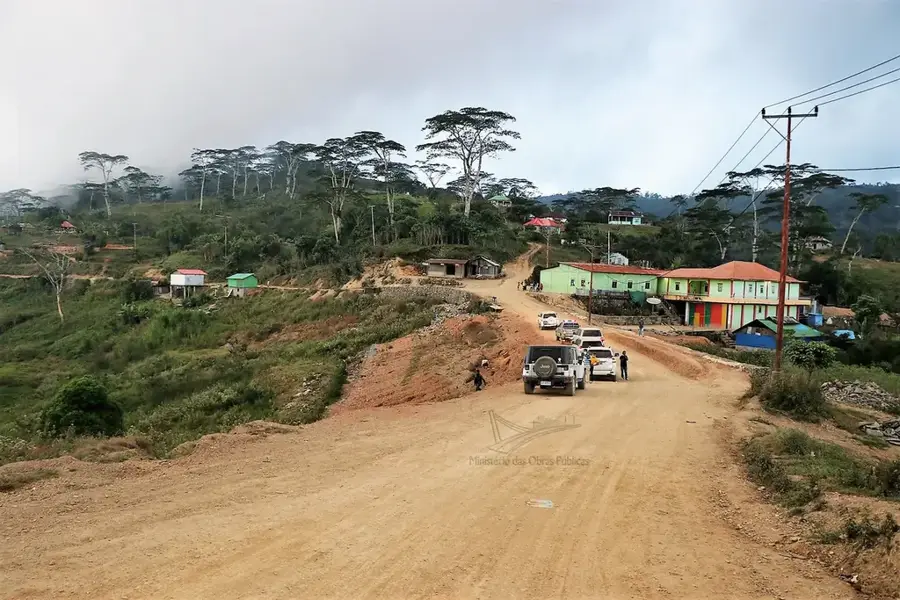
- Nearby: Ainaro (7 km)
Best time to visit & climate
The most pleasant time to visit is Jul–Sep.
| Jan | Feb | Mar | Apr | May | Jun | Jul | Aug | Sep | Oct | Nov | Dec | |
|---|---|---|---|---|---|---|---|---|---|---|---|---|
| Avg °C | 24 | 23 | 23 | 23 | 22 | 21 | 21 | 21 | 22 | 24 | 25 | 25 |
| Rain mm | 242 | 205 | 126 | 55 | 37 | 23 | 10 | 4 | 5 | 13 | 57 | 173 |
📋 Practical info
Geography
Facts
- The highest peak reaches an elevation of 2,495 meters.
- It is part of the central Ramelau mountain range system.
- The mountain marks the border between Manufahi and Ainaro districts.
- Kablaki was a significant stronghold for FALINTIL resistance forces.
- The lower slopes are famous for organic coffee plantations.
- The area is a key habitat for several endemic Timorese bird species.
Explore nearby
Notable places around
Route planner — Car & Motorhome
Where do you start? We build the route here, with stops and country notes along the way.
© OpenStreetMap contributors · OpenRouteService
Sights nearby
Frequently asked questions
Is Mount Kablaki touristically developed?
What is the challenge during a tour?
Do you need a local companion?
When should you avoid the area?
What is special about the flora there?
Mount Kablaki: where is it located?
Mount Kablaki: when is the best time to visit?
Mount Kablaki: why is it worth visiting?

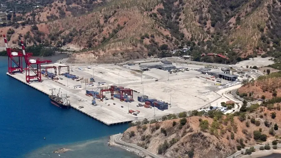
Nearby cities

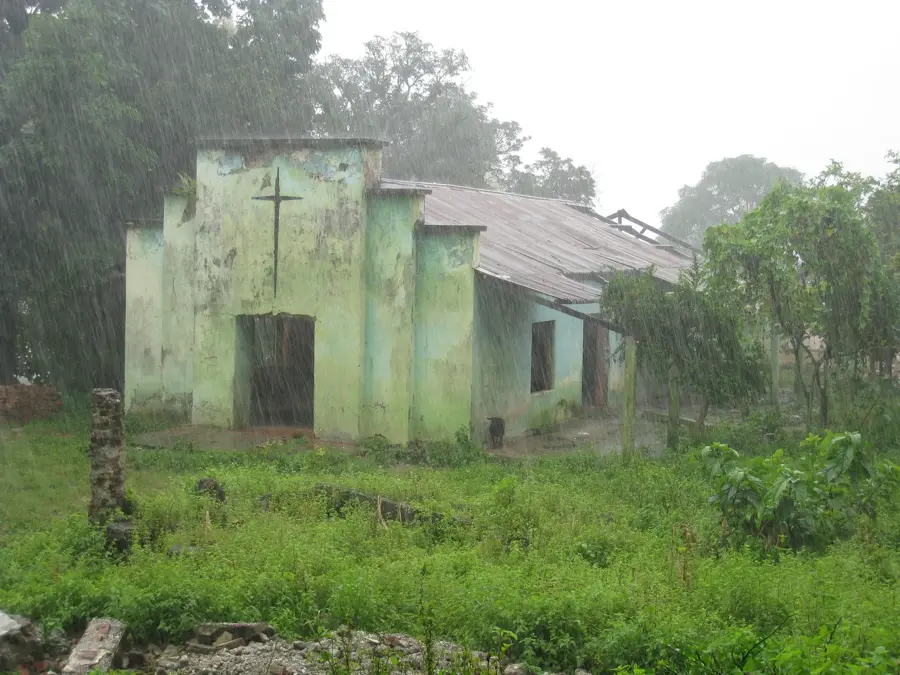
History & landmarks
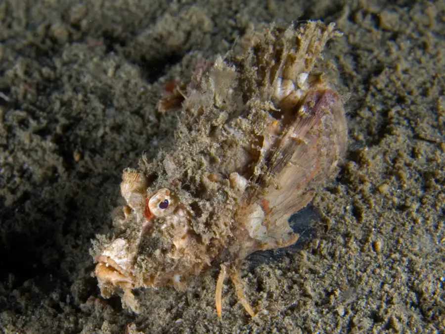
Nature


More places