Plizio Visual Lab
Mount Diatuto

Weather…
Water temperature…
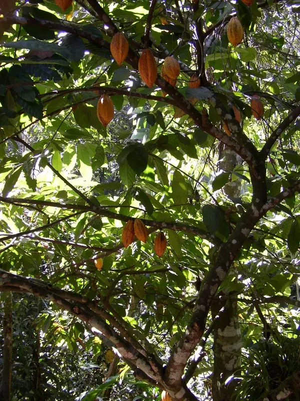
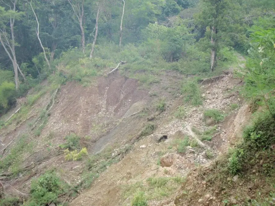
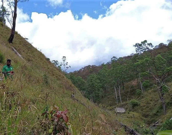
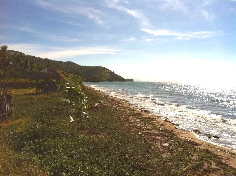
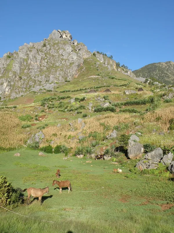
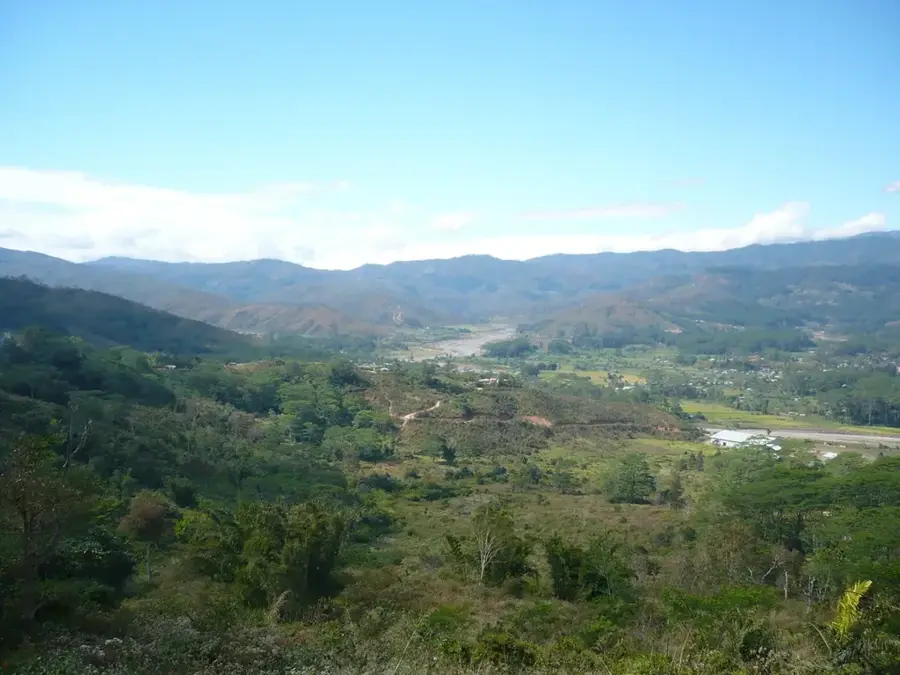
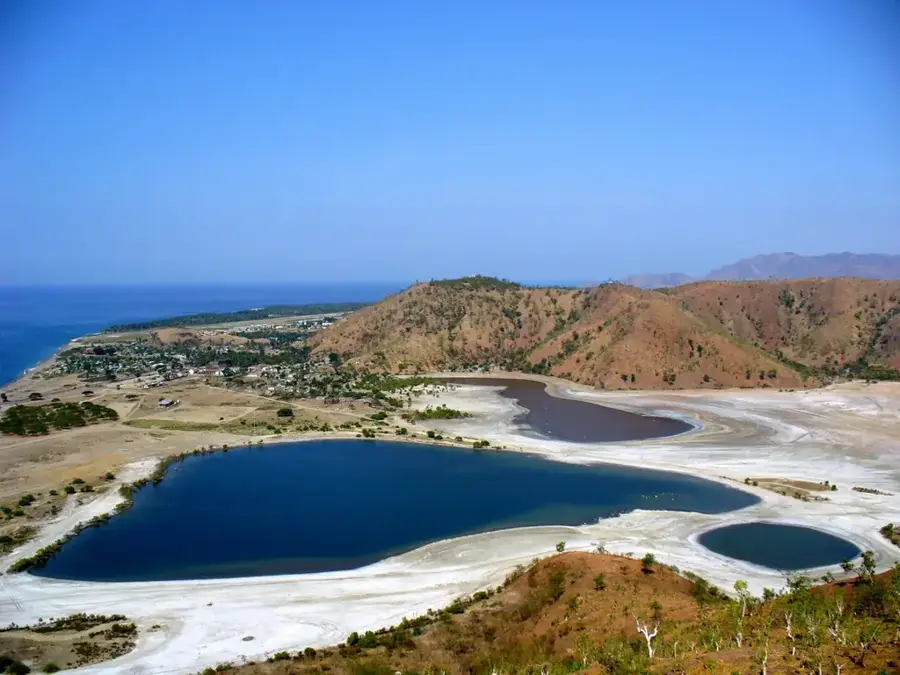
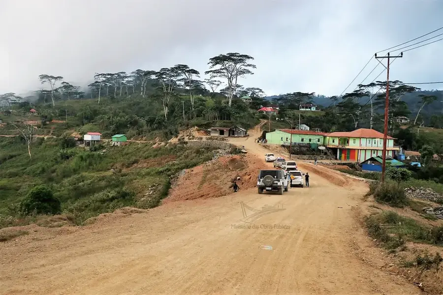
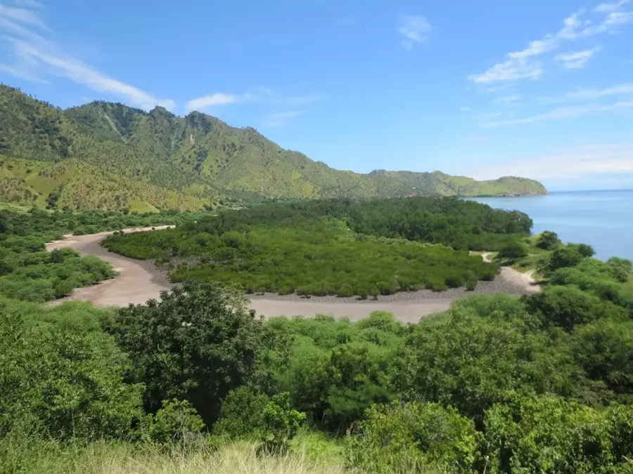
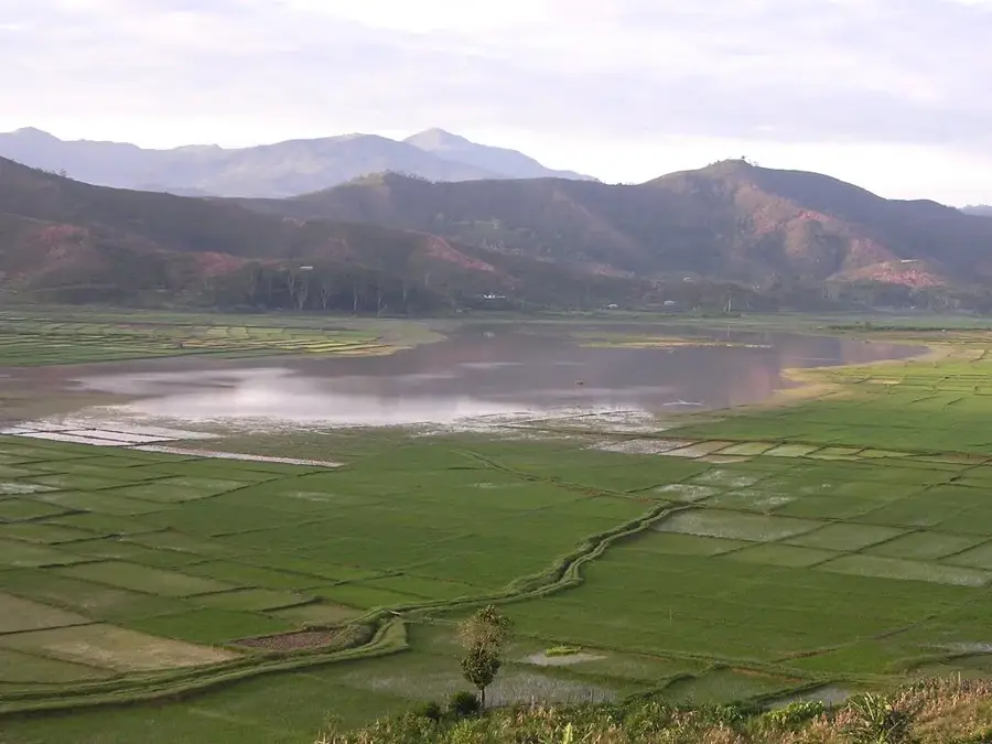
Mount Diatuto is a significant mountain massif located in the Manatuto District, near the center of Timor-Leste. Reaching an elevation of approximately 1,770 meters, it represents one of the most prominent geographical barriers between the north and south coasts. The mountain is primarily known for its ecological importance and has been designated as an Important Bird Area (IBA), providing a habitat for many threatened and endemic bird species. The upper elevations are covered by primary montane rainforest, while the lower slopes are characterized by grasslands and secondary vegetation. Historically, the region around Diatuto was a center for the sandalwood trade, which shaped the local economy for centuries. Due to the steep terrain and difficult accessibility, vast portions of the mountain have remained in a relatively pristine state, making it an important destination for scientific research.
- Location: Timor-Leste
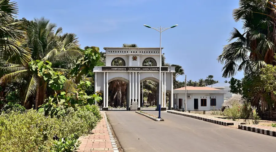
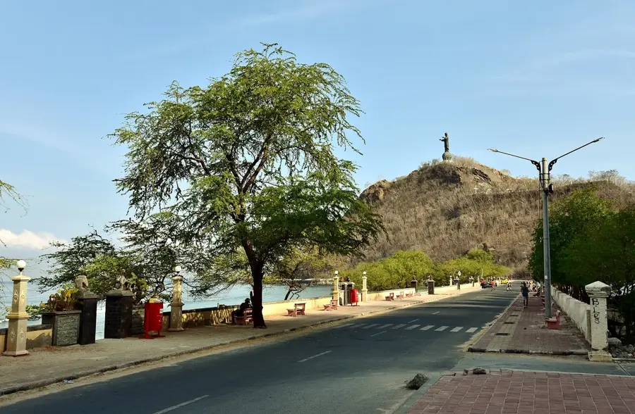
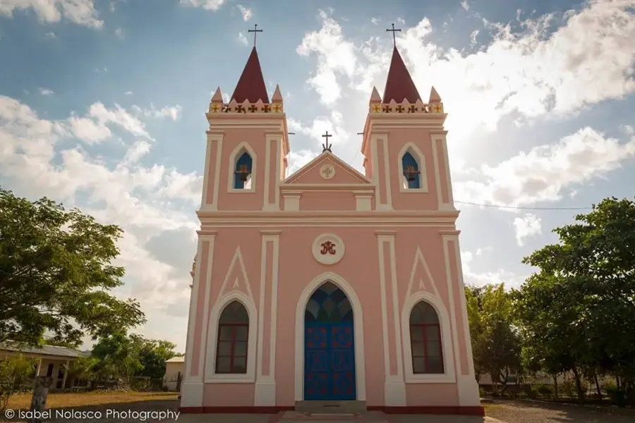
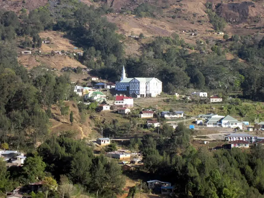
- Top sights: Igreja Paroquial de Laclubar · YWAM base Bahareduk
- Nearby: Manatuto (18 km)
Best time to visit & climate
The most pleasant time to visit is Jun–Aug.
| Jan | Feb | Mar | Apr | May | Jun | Jul | Aug | Sep | Oct | Nov | Dec | |
|---|---|---|---|---|---|---|---|---|---|---|---|---|
| Avg °C | 27 | 26 | 27 | 27 | 26 | 25 | 25 | 25 | 26 | 28 | 29 | 28 |
| Rain mm | 225 | 188 | 116 | 54 | 35 | 22 | 9 | 4 | 4 | 11 | 51 | 156 |
📋 Practical info
Geography
Facts
- The highest elevation of the mountain is approximately 1,770 meters.
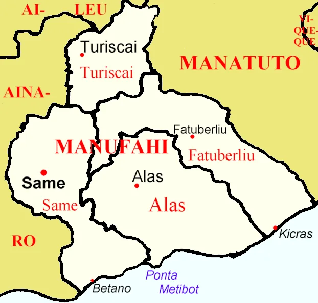
- Diatuto belongs to the Soibada administrative post in Manatuto District.
- The Diatuto protection area covers an area of about 15,000 hectares.
- It hosts the Timor Imperial Pigeon, a threatened endemic bird species.
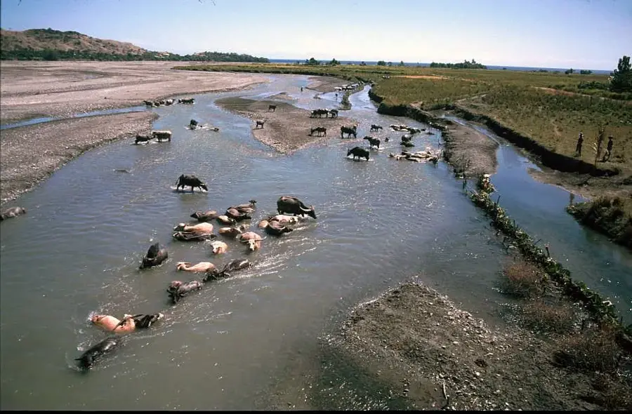
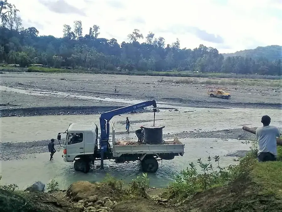
- The region is a key watershed for the Sahe River system.
- Sandalwood stands can still be found in the remote ravines of the mountain.
Explore nearby
Notable places around
Route planner — Car & Motorhome
Where do you start? We build the route here, with stops and country notes along the way.
© OpenStreetMap contributors · OpenRouteService
Sights in the town Mount Diatuto (2)
Sights nearby
Frequently asked questions
Why is Berg Diatuto known?
Is the area easily accessible?
Can you stay overnight there?
What is the difficulty level of the hike?
What must be respected on-site?
Mount Diatuto: where is it located?
Mount Diatuto: what is there to see?
Mount Diatuto: when is the best time to visit?
Mount Diatuto: why is it worth visiting?

Nearby cities

History & landmarks
Nature

More places