Plizio Visual Lab
Fatuberlio

ℹ️Practical info — Fatuberlio
▾
🌤 Weather — 5 days
📍 Nearby
Sights nearby
💡 Tips
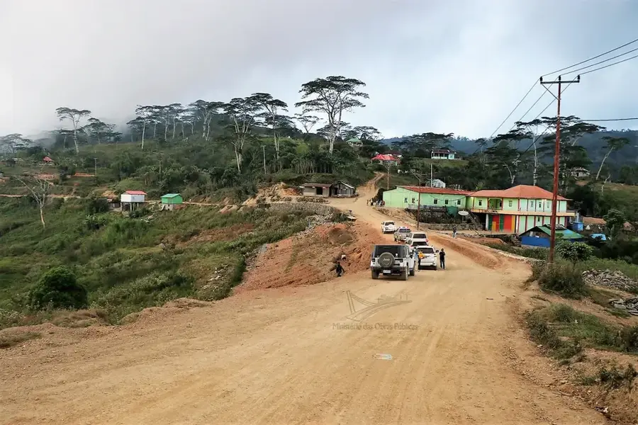
- Access can be difficult due to poor road conditions; hiring a sturdy 4x4 vehicle is highly recommended.
- The area is very remote; bring sufficient cash and basic medical supplies from Dili.
- The sun on the southern coast is intense; always wear a hat and strong sunscreen.
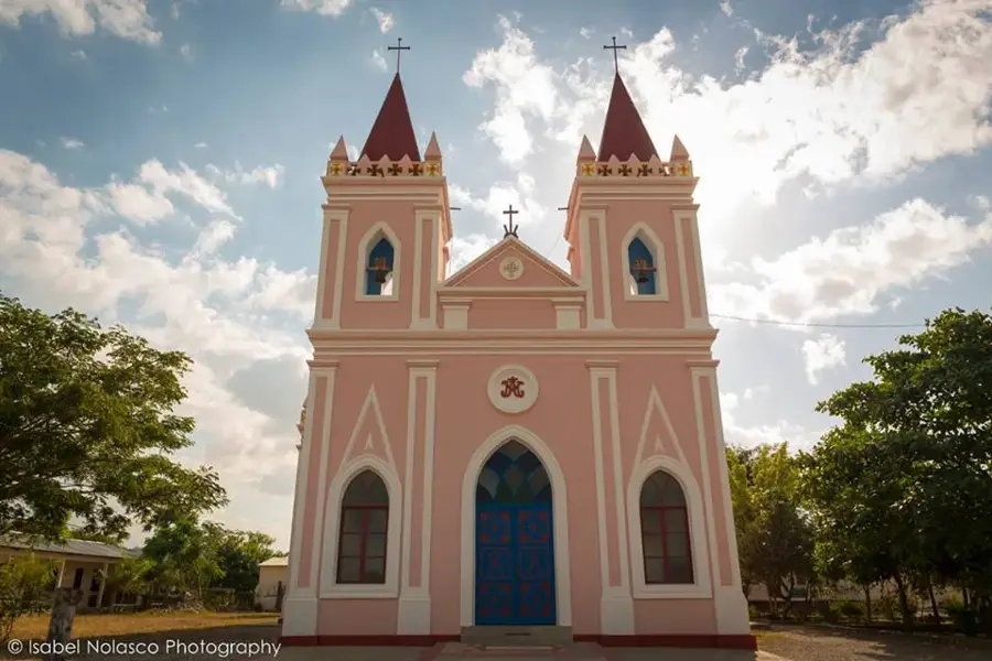
- Respect local animist and Catholic traditions by dressing modestly when visiting villages or churches.
🍽 Food
Fresh fish marinated in tamarind and spices, grilled in palm leaves at coastal stalls.
Buy young coconuts directly from the growers along the main coastal paths.
Timorese coffee is excellent; try a strong cup at a small village kiosk (warung).
🛍 Shopping · 🧘 Quiet spots
Small vendors sell locally grown produce, betel nut, and sometimes woven palm items.
Buy fish directly from returning fishermen on the beach in the early morning.
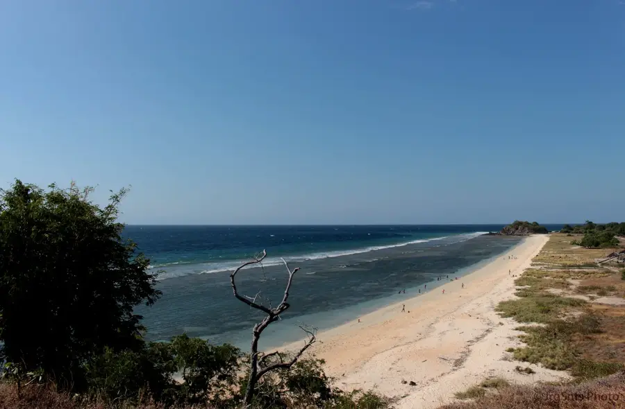
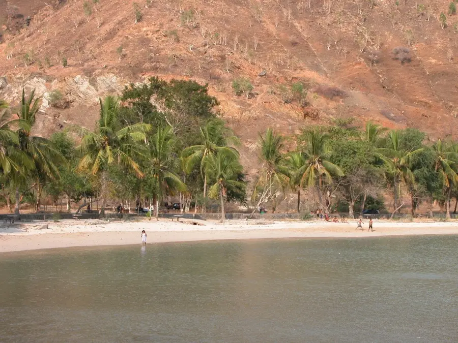
The expansive, largely untouched beaches offer complete solitude and the sound of crashing waves.
The shaded areas around the village church provide a calm spot for reflection.
Water temperature…
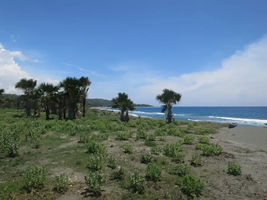
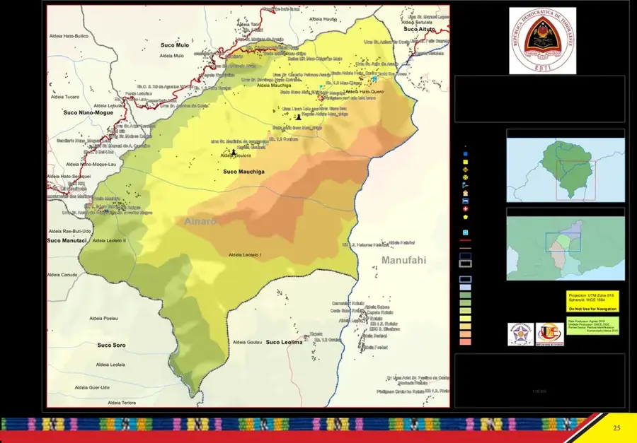
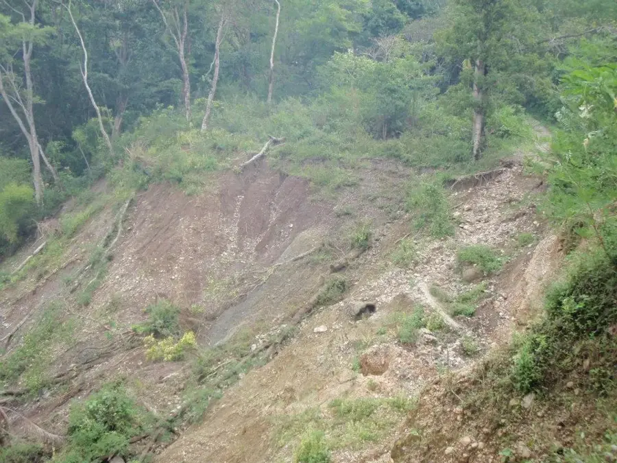
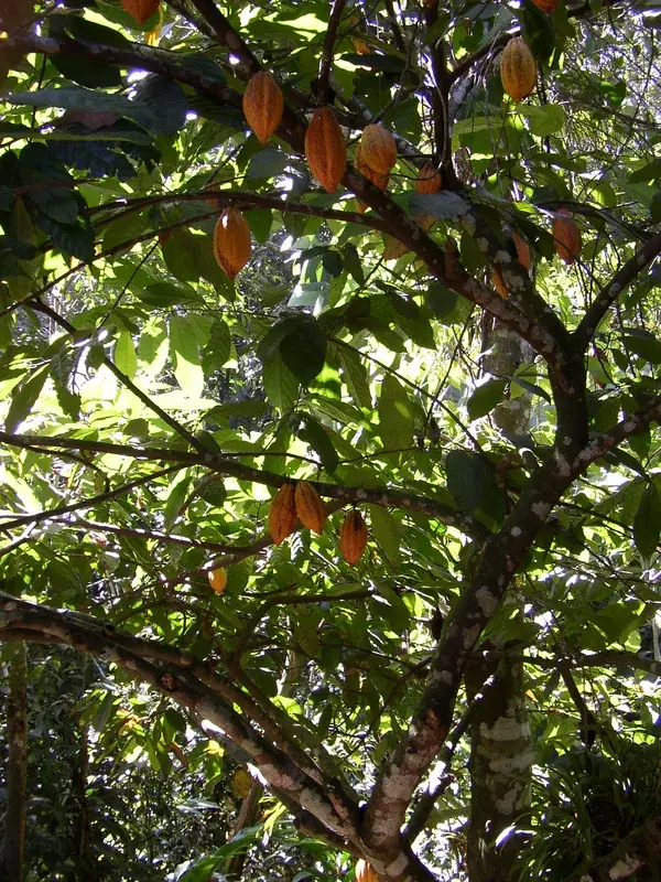
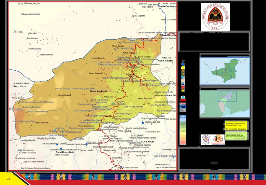
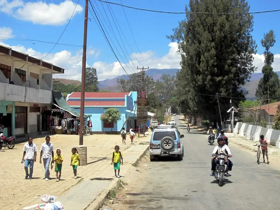
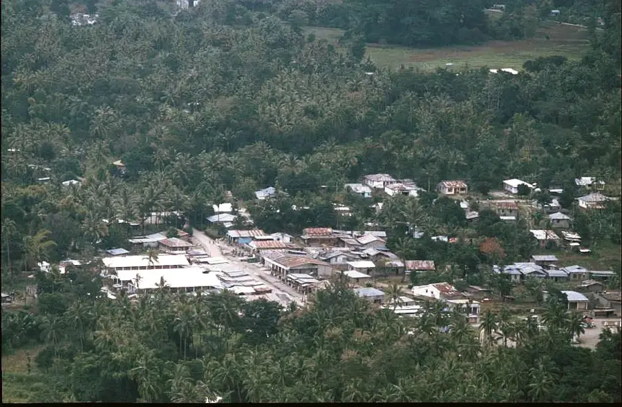
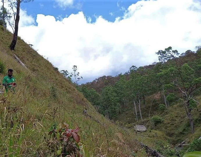
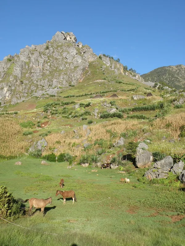
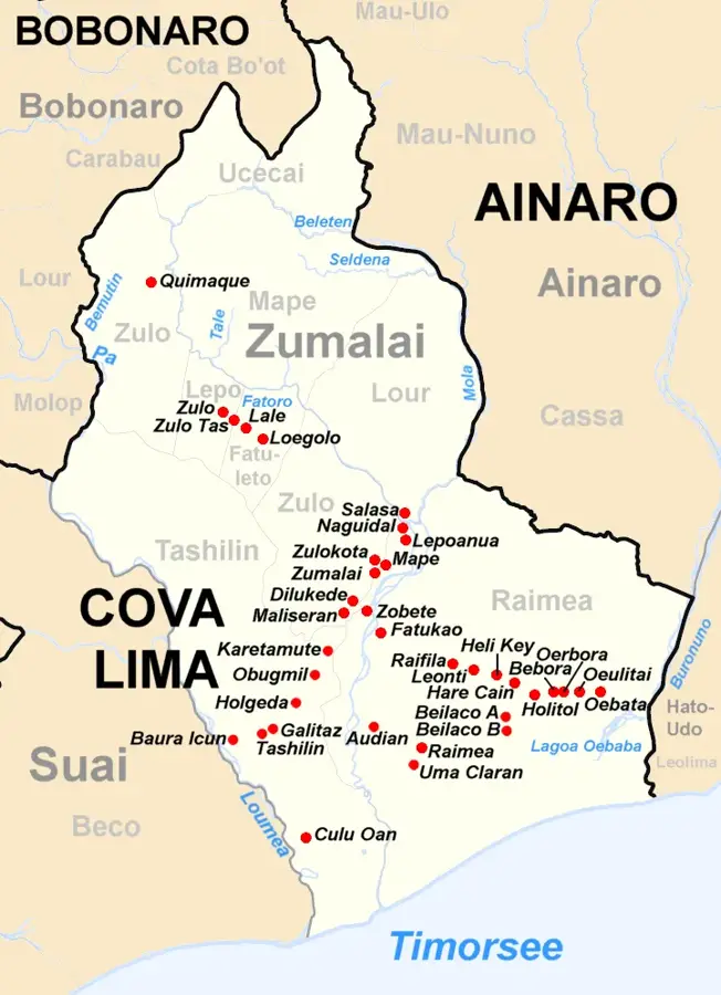
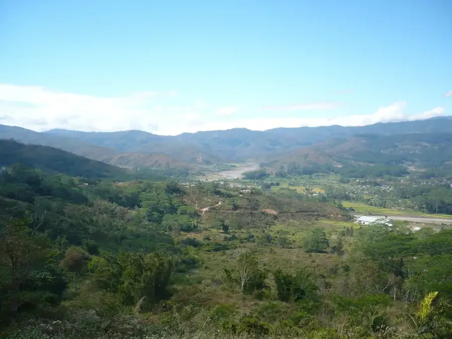
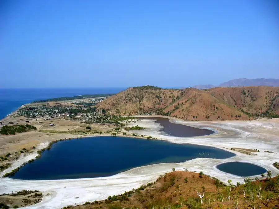
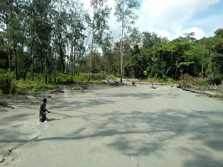
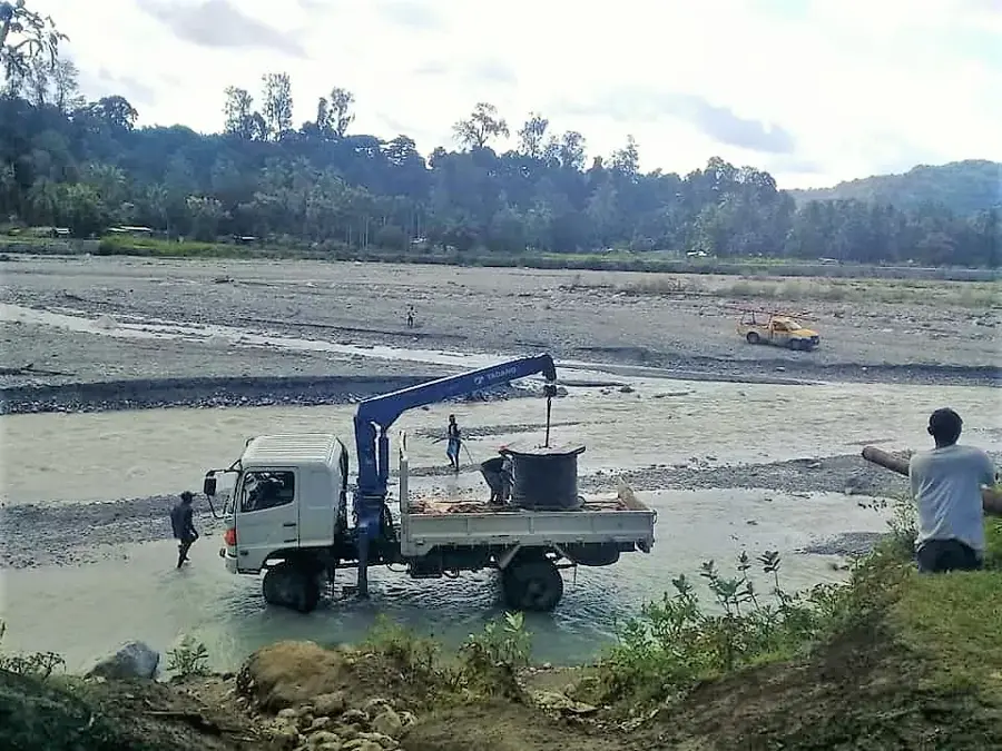
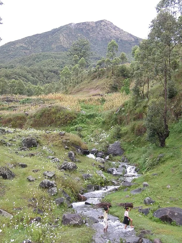
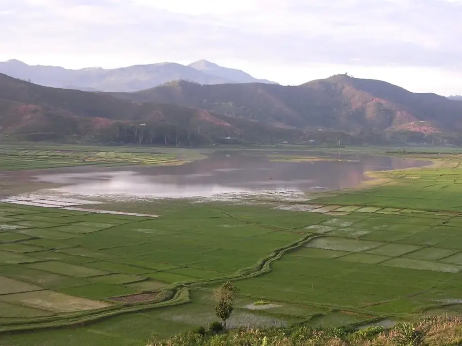
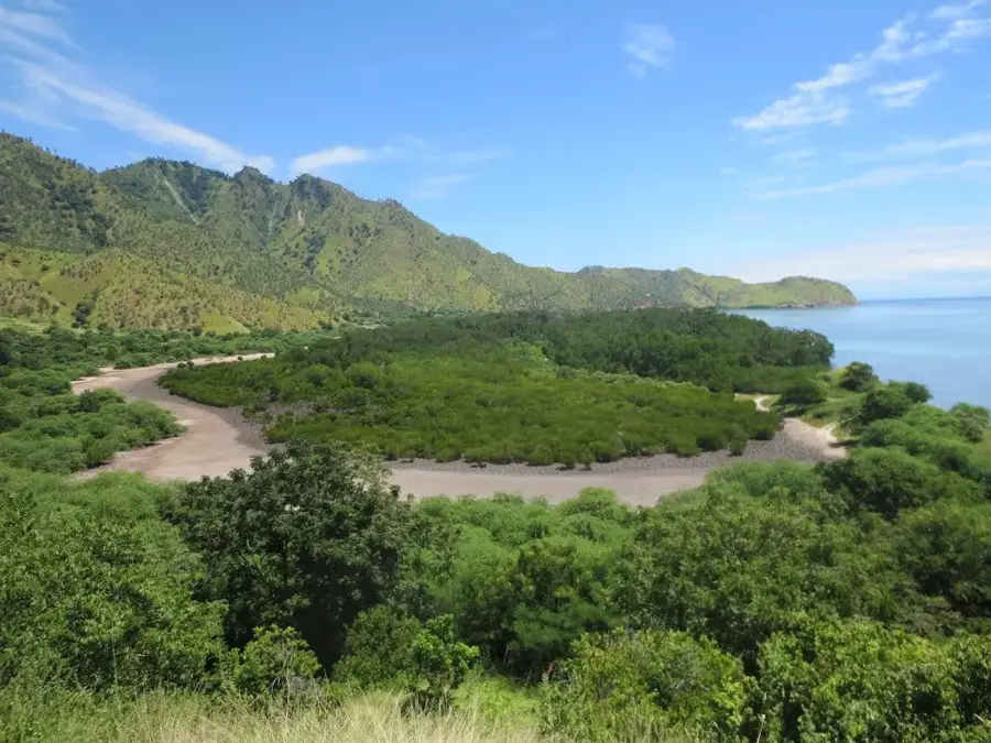
Fatuberlio is a settlement in the southeastern part of the Manufahi municipality, characterized by its expansive coastal plains and significant agricultural importance. The town is situated in a region known for its highly fertile soils, where crops such as maize, peanuts, and tobacco are cultivated alongside staple rice production. Fatuberlio is also geologically noteworthy, as the region is identified as a potential area for onshore oil and gas exploration, playing a role in Timor-Leste's national development strategy. The landscape is defined by vast savannas and dense gallery forests lining the rivers that discharge into the Timor Sea. Historically, the area was sparsely populated, but it has grown in significance over recent decades due to migration patterns and government-led agricultural initiatives. The local culture reflects a synthesis of influences from the surrounding areas of Manufahi and Viqueque. A primary challenge for Fatuberlio is its limited accessibility during the intense monsoon rains, which places heavy strain on local infrastructure. Nevertheless, the town remains a key contributor to the nation's food security efforts.
- Location: Timor-Leste
- Nearby: Alas (8 km)
Best time to visit & climate
The most pleasant time to visit is Jul–Sep.
| Jan | Feb | Mar | Apr | May | Jun | Jul | Aug | Sep | Oct | Nov | Dec | |
|---|---|---|---|---|---|---|---|---|---|---|---|---|
| Avg °C | 28 | 28 | 28 | 27 | 27 | 26 | 25 | 25 | 26 | 27 | 29 | 29 |
| Rain mm | 204 | 174 | 117 | 60 | 48 | 29 | 14 | 5 | 6 | 11 | 52 | 153 |
Geography
Facts
- A key agricultural center located in southern Manufahi.
- The region is designated as a potential site for onshore oil and gas extraction.
- Renowned for the large-scale cultivation of tobacco and peanuts.
- Positioned on the lower reaches of several rivers flowing into the Timor Sea.
- Characterized by an expansive savanna landscape unique to the south coast.
- The local population includes a significant number of migrants from the highlands.
Explore nearby
Notable places around
Route planner — Car & Motorhome
Where do you start? We build the route here, with stops and country notes along the way.
© OpenStreetMap contributors · OpenRouteService
Frequently asked questions
How long to stay in Fatuberlio?
When is it best?
How is the accessibility?
What awaits me?
What is important?
Fatuberlio: where is it located?
Fatuberlio: when is the best time to visit?
Fatuberlio: why is it worth visiting?

Nearby cities
History & landmarks
Nature

More places