Plizio Visual Lab
Betano Coast

Weather…
Water temperature…
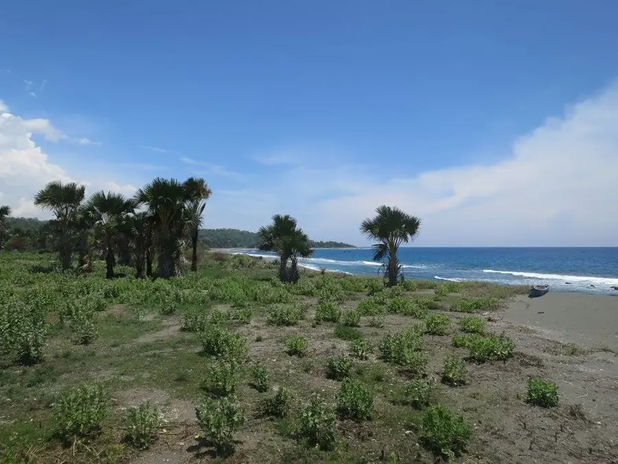
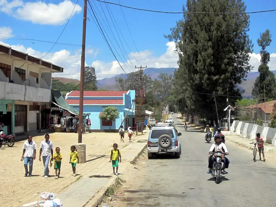
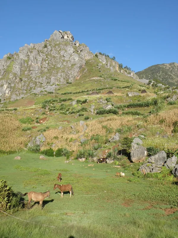
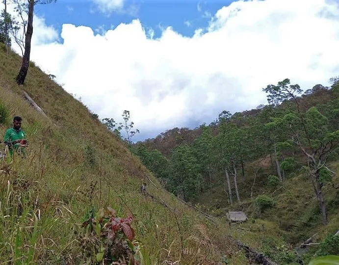
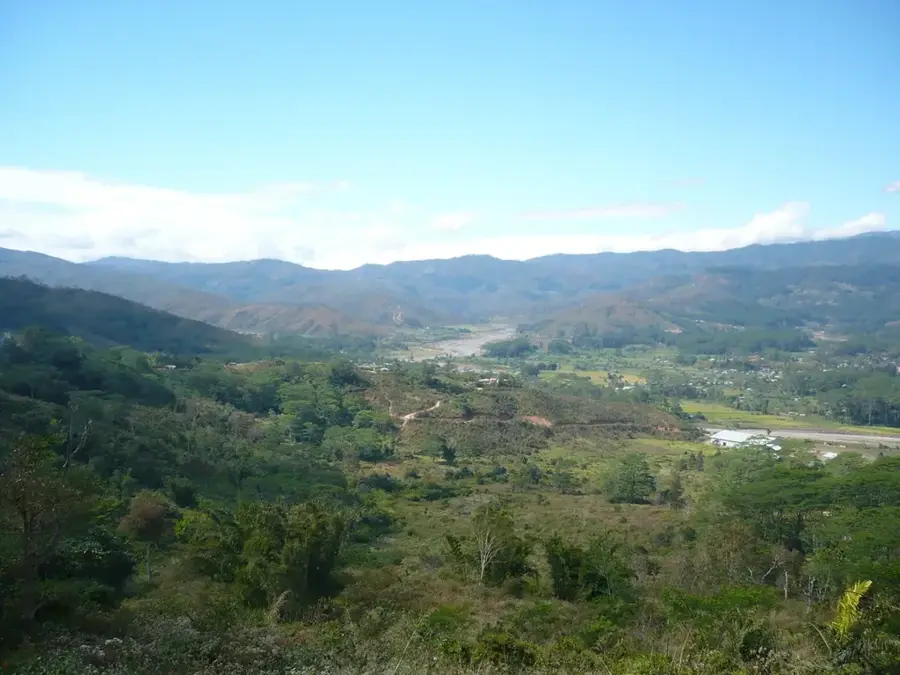
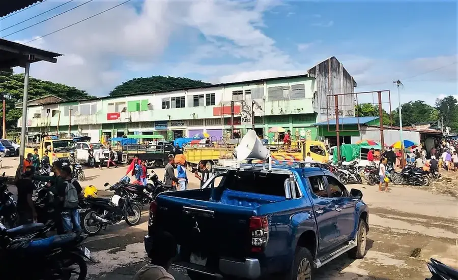
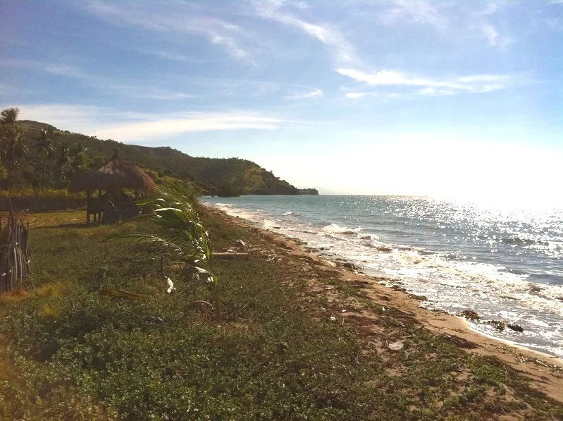
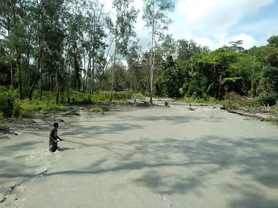
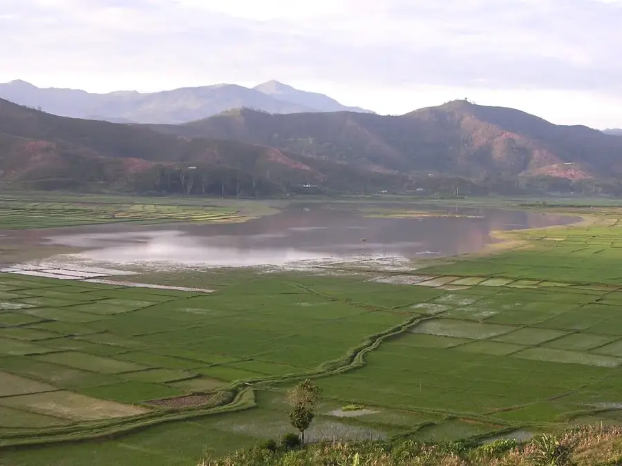
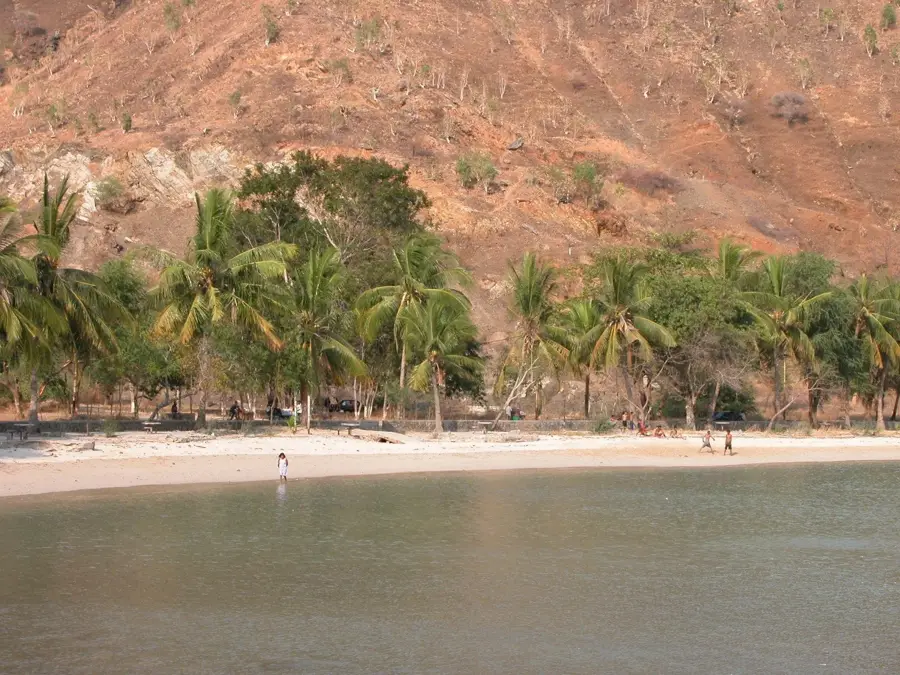
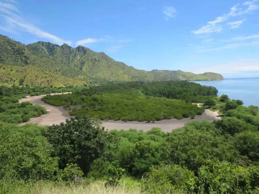
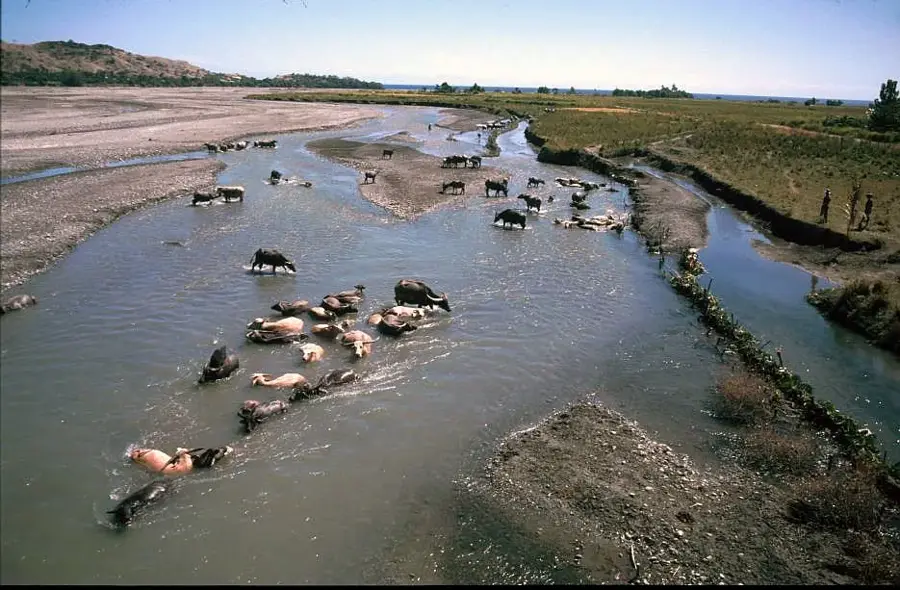
The Betano Coast is located in the Manufahi Municipality on the southern shore of Timor-Leste, bordering the Timor Sea. This stretch of coastline is historically significant as the site where the Australian destroyer HMAS Voyager ran aground and was lost in 1942 during World War II. Geographically, the region is characterized by wide sandy beaches and an extensive coastal plain that stands in contrast to the rugged mountains of the interior. In the present day, Betano plays a central role in the Timor-Leste government's strategic Tasi Mane project, which aims to develop a modern petroleum infrastructure. Planned and partially completed facilities include an oil refinery, a petrochemical complex, and a new industrial city. Additionally, one of the country's largest power stations was built in Betano to ensure the electricity supply for the southern coast. Despite industrial development, much of the coast retains its natural beauty, with rich marine biodiversity in the offshore waters.
- Location: Timor-Leste
- Nearby: Same (9 km)
Best time to visit & climate
The most pleasant time to visit is Jul–Sep.
| Jan | Feb | Mar | Apr | May | Jun | Jul | Aug | Sep | Oct | Nov | Dec | |
|---|---|---|---|---|---|---|---|---|---|---|---|---|
| Avg °C | 24 | 23 | 23 | 23 | 22 | 21 | 21 | 21 | 22 | 24 | 25 | 25 |
| Rain mm | 242 | 205 | 126 | 55 | 37 | 23 | 10 | 4 | 5 | 13 | 57 | 173 |
📋 Practical info
Geography
Facts
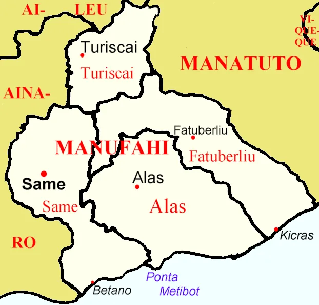
- Location: Manufahi Municipality, south coast
- Borders the resource-rich Timor Sea
- Site of the HMAS Voyager shipwreck in 1942
- Key hub for the Tasi Mane petroleum project
- Home to the Betano Power Station
- Planned site for an oil refinery and petrochemical plant
Explore nearby
Notable places around
Route planner — Car & Motorhome
Where do you start? We build the route here, with stops and country notes along the way.
© OpenStreetMap contributors · OpenRouteService
Sights nearby
Frequently asked questions
Is Küste von Betano suitable for swimming?
When is the best time to visit the coast?
Is there parking at Küste von Betano?
Are there toilets there?
Is the coast safe for children?
Betano Coast: where is it located?
Betano Coast: when is the best time to visit?
Betano Coast: why is it worth visiting?

Nearby cities

History & landmarks
Nature
More places