Plizio Visual Lab
North Laclo River
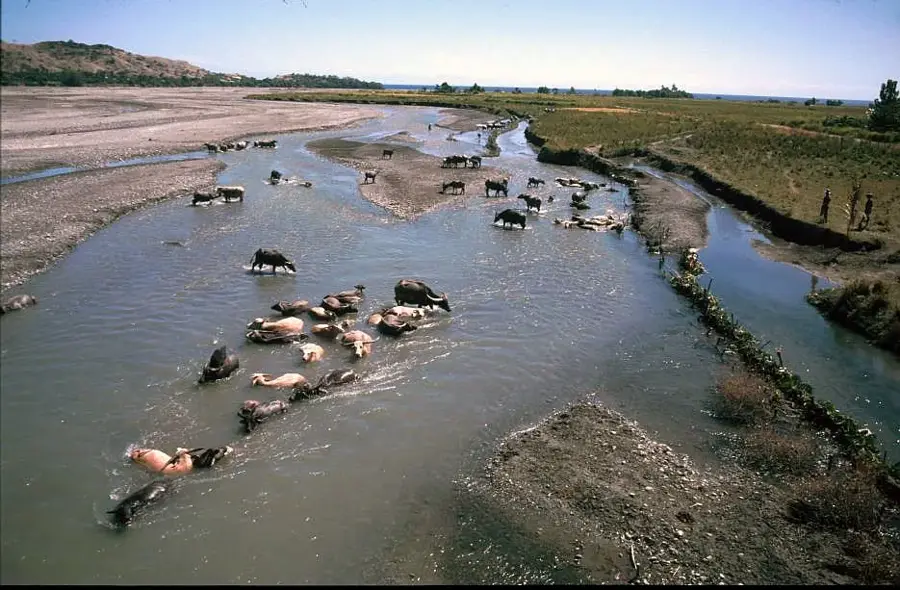
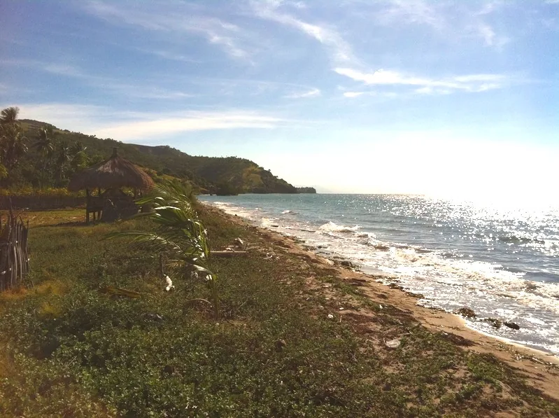
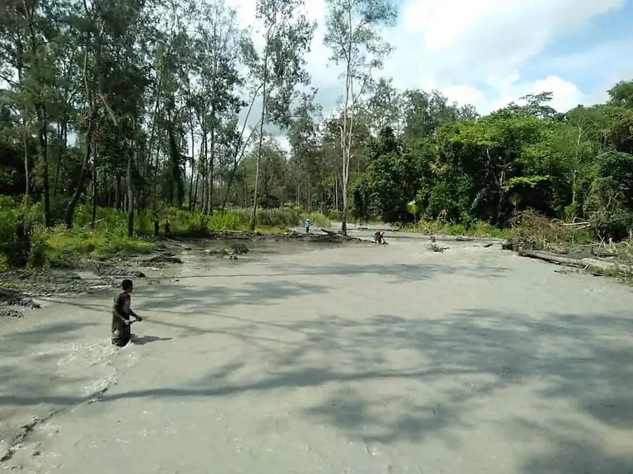
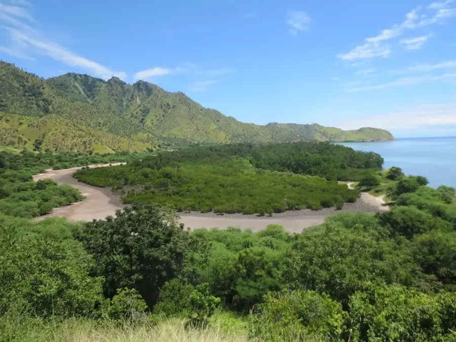
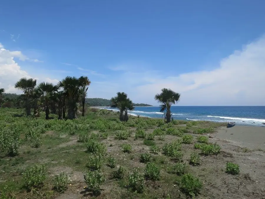
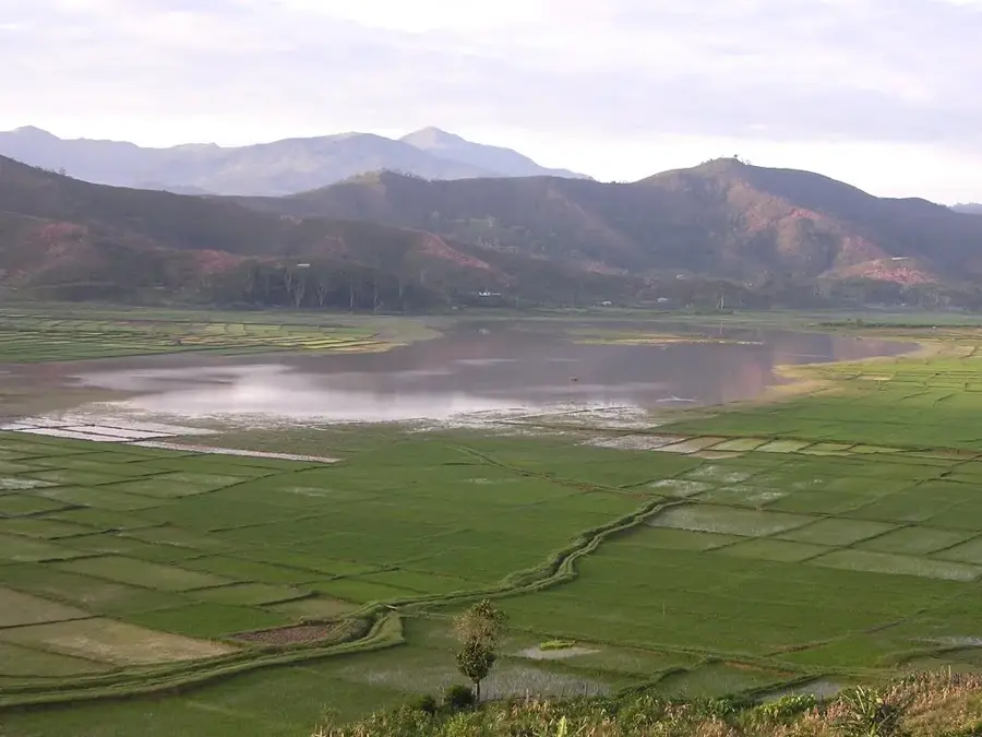
The North Laclo River, known as Rio Laclo do Norte, is one of the largest and most significant rivers on the northern coast of Timor-Leste. It originates in the central highlands of the Aileu and Manatuto districts and flows in a northeasterly direction until it empties into the Wetar Strait near the town of Manatuto. The river is characterized by a very wide, gravelly riverbed that can appear almost dry during the dry season but transforms into a raging torrent during the rainy season. Its catchment area is among the most extensive in the country, encompassing key agricultural zones where large-scale rice cultivation is practiced. The mouth of the Laclo features an expansive delta and mangrove forests that are ecologically vital. A major environmental challenge is the river's high sediment load, exacerbated by deforestation in the upper reaches, which leads to the siltation of coastal waters. Nevertheless, the North Laclo remains a fundamental resource for regional development and the water supply of Manatuto.
- Location: Timor-Leste
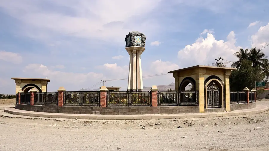
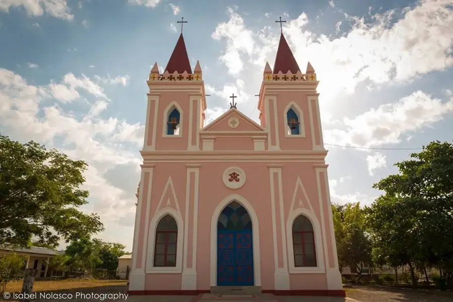
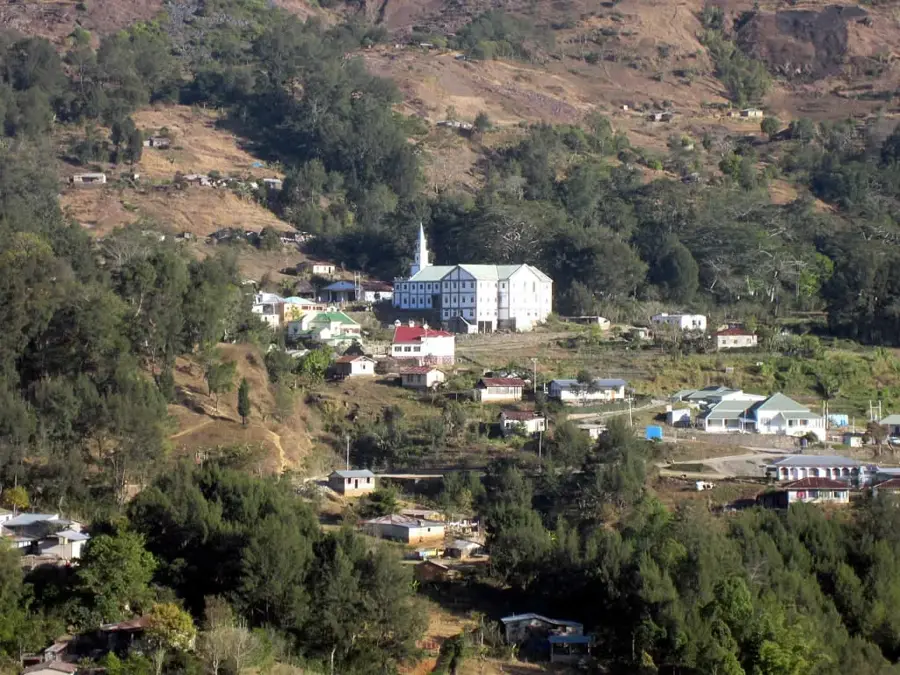
- Top sights: Santo Cristo Nai Liurai · Igreja Evangelica Vizaun Kristaun de Timor-Leste
- Nearby: Laleia (17 km)
Best time to visit & climate
The most pleasant time to visit is Jun–Aug.
| Jan | Feb | Mar | Apr | May | Jun | Jul | Aug | Sep | Oct | Nov | Dec | |
|---|---|---|---|---|---|---|---|---|---|---|---|---|
| Avg °C | 27 | 26 | 27 | 27 | 26 | 25 | 25 | 25 | 26 | 28 | 29 | 28 |
| Rain mm | 225 | 188 | 116 | 54 | 35 | 22 | 9 | 4 | 4 | 11 | 51 | 156 |
📋 Practical info
Geography
Facts
- It is the most voluminous river on the northern slope of Timor-Leste.
- The mouth is located just to the east of the district capital, Manatuto.
- The river is crossed by one of the longest bridges in the country.
- Its catchment area covers an expansive area of over 600 km².
- The Laclo is essential for irrigating the rice fields of Manatuto.
- During the rainy season, the river carries enormous amounts of sediment.
Explore nearby
Notable places around
Route planner — Car & Motorhome
Where do you start? We build the route here, with stops and country notes along the way.
© OpenStreetMap contributors · OpenRouteService
Sights in the town North Laclo River (2)
Sights nearby
Frequently asked questions
Is the northern Lacló easy to find?
Can you go boating there?
Are there dangerous animals in the river?
When is the water level highest?
Is the bank suitable for walks?
North Laclo River: where is it located?
North Laclo River: what is there to see?
North Laclo River: when is the best time to visit?
North Laclo River: why is it worth visiting?

Nearby cities

History & landmarks
Nature
More places