Plizio Visual Lab
Caraulun River
Weather…
Water temperature…
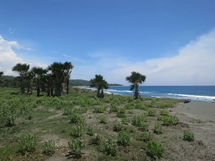
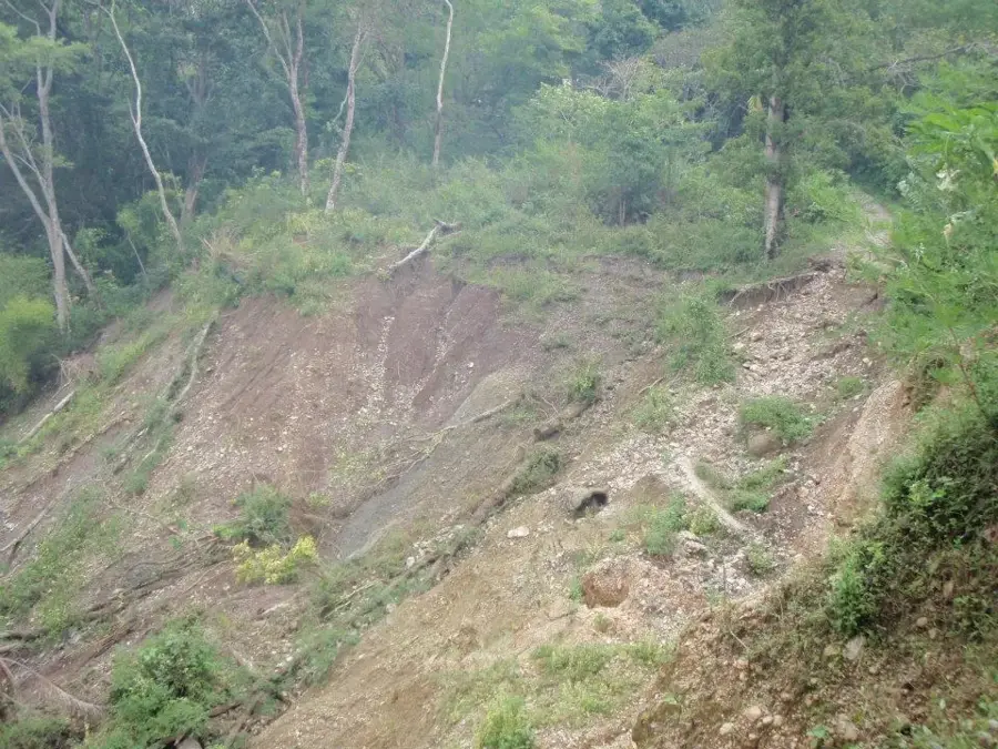
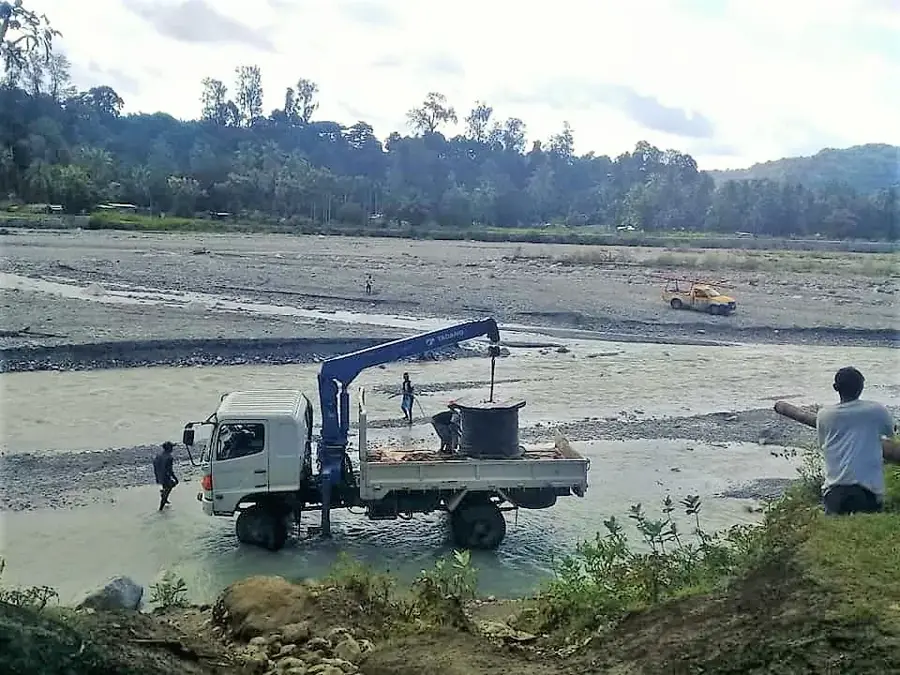
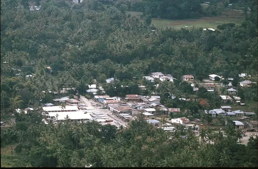
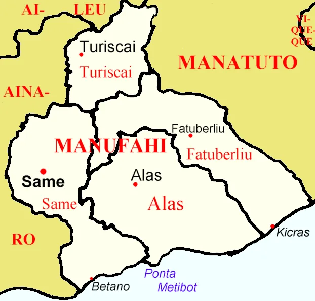
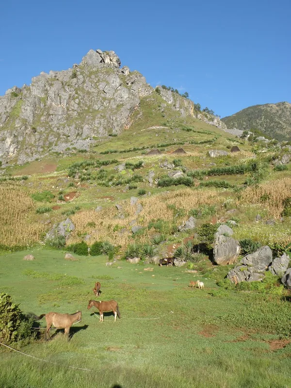
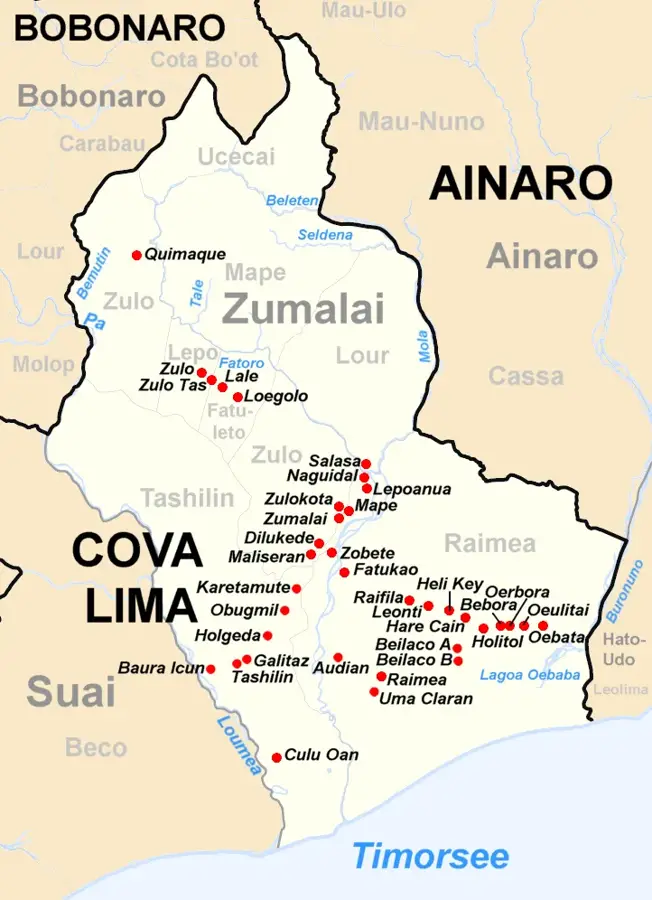
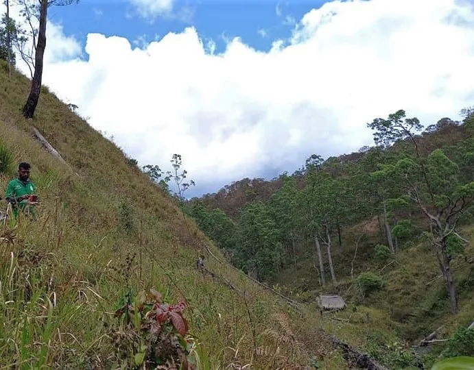
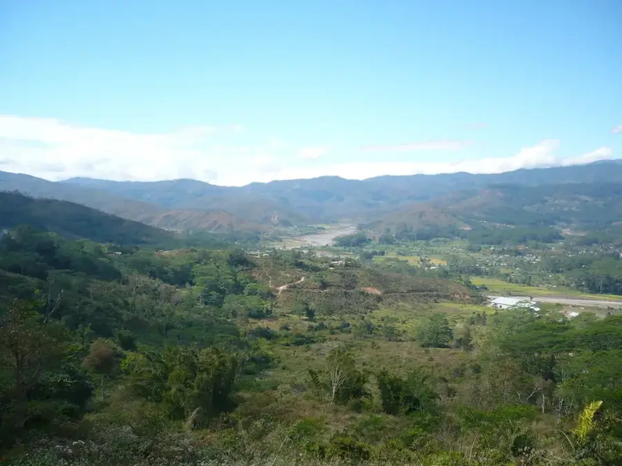
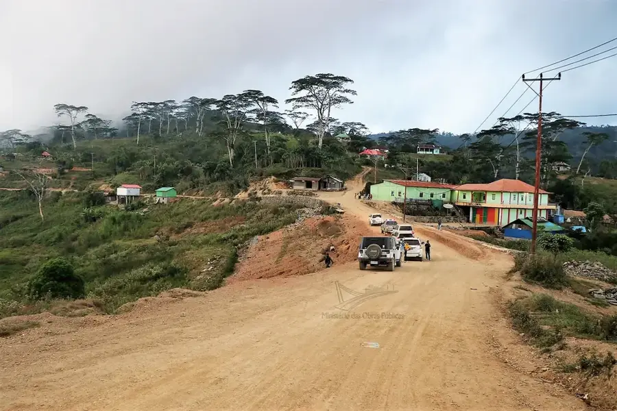
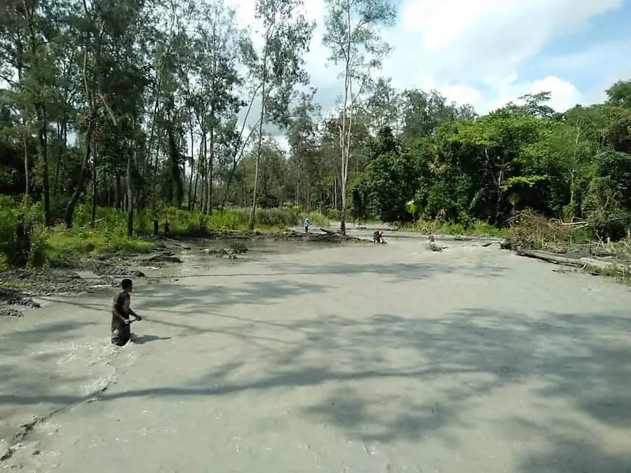
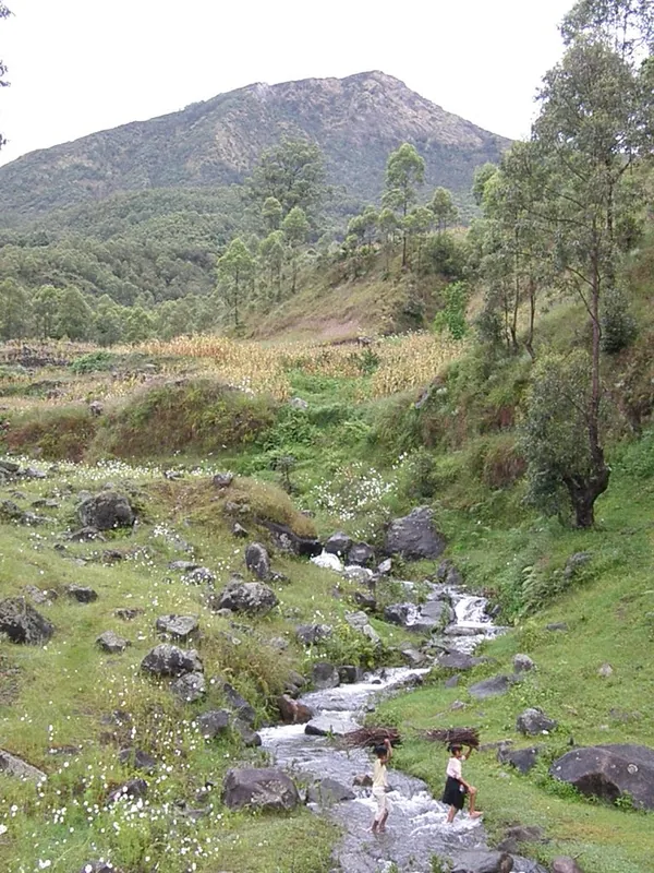
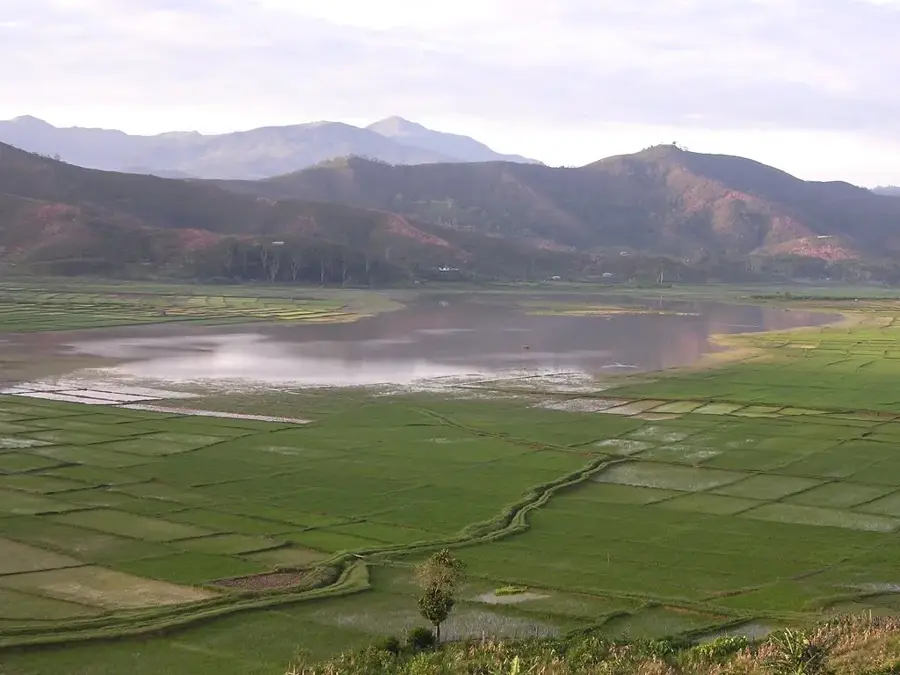
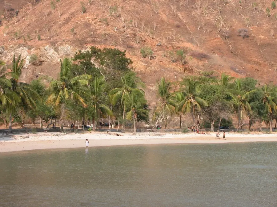
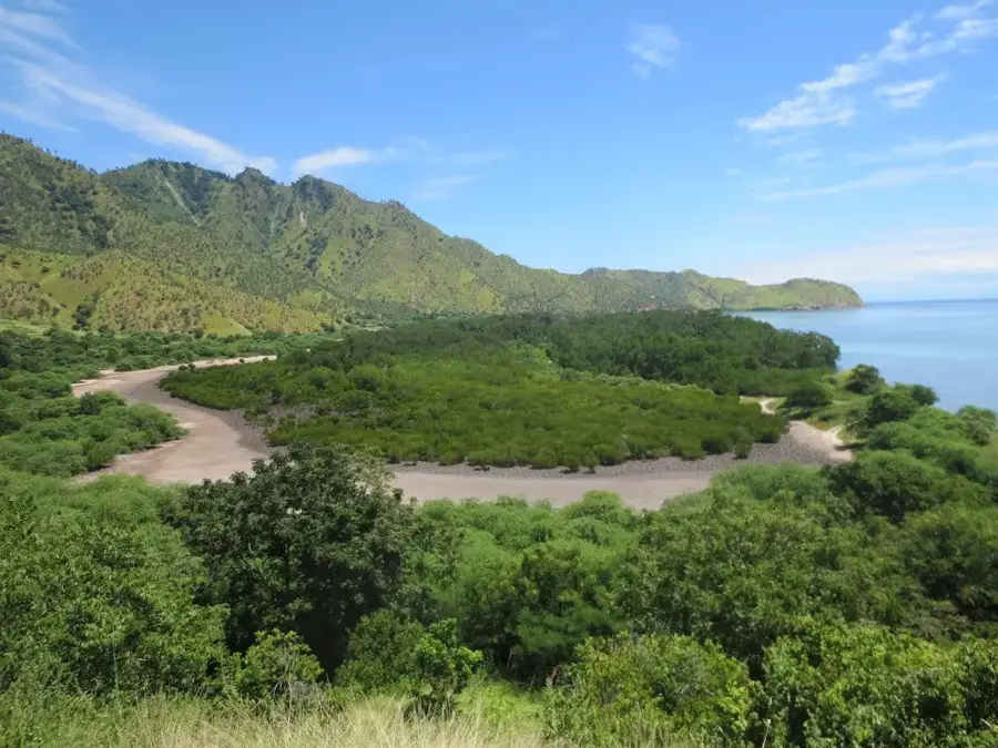
The Caraulun River is one of the most important rivers in southern Timor-Leste, flowing through the Manufahi District. It originates in the high-rainfall mountains of the central highlands near the town of Same and flows southward until it eventually empties into the Timor Sea. The river is known for its deeply incised valley in the upper reaches and the wide, fertile alluvial plains near the coast. These plains are of great significance for local agriculture, particularly for the cultivation of maize, coconuts, and fruit. Like many rivers on the southern side, the Caraulun often carries more water than northern rivers due to the longer rainy season in the south, though this also leads to severe erosion problems and seasonal flooding. The riparian vegetation is characterized by tropical secondary forests and bamboo groves, providing habitats for a wide variety of bird species. Historically and culturally, the river is closely linked to local communities, who have relied on it for centuries as a vital resource and transport route.
- Location: Timor-Leste
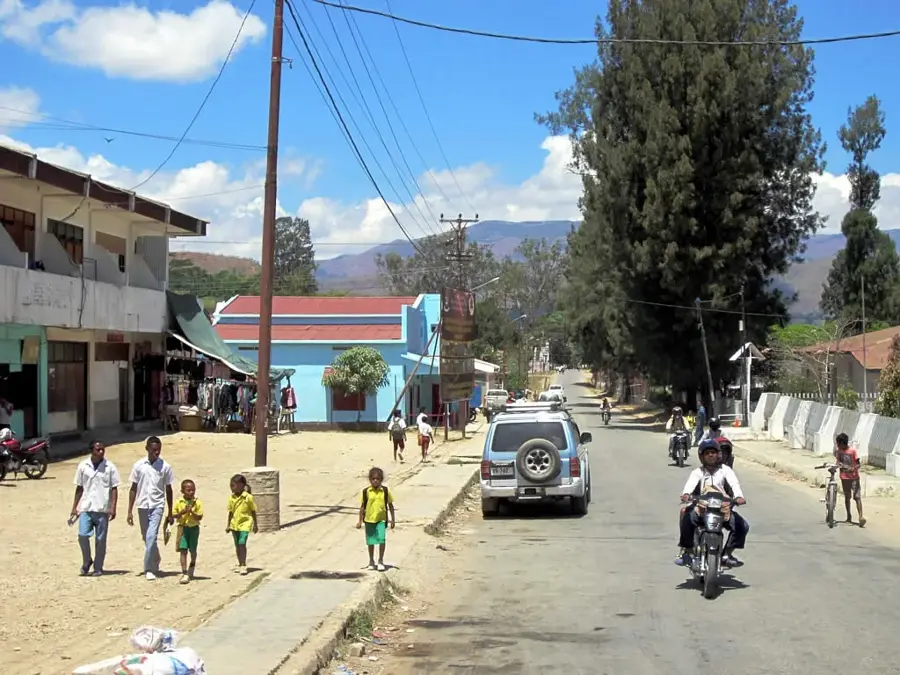
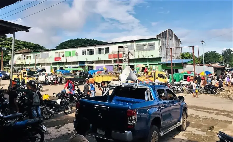
- Nearby: Same (11 km)
Best time to visit & climate
The most pleasant time to visit is Jul–Sep.
| Jan | Feb | Mar | Apr | May | Jun | Jul | Aug | Sep | Oct | Nov | Dec | |
|---|---|---|---|---|---|---|---|---|---|---|---|---|
| Avg °C | 24 | 23 | 23 | 23 | 22 | 21 | 21 | 21 | 22 | 24 | 25 | 25 |
| Rain mm | 242 | 205 | 126 | 55 | 37 | 23 | 10 | 4 | 5 | 13 | 57 | 173 |
📋 Practical info
Geography
Facts
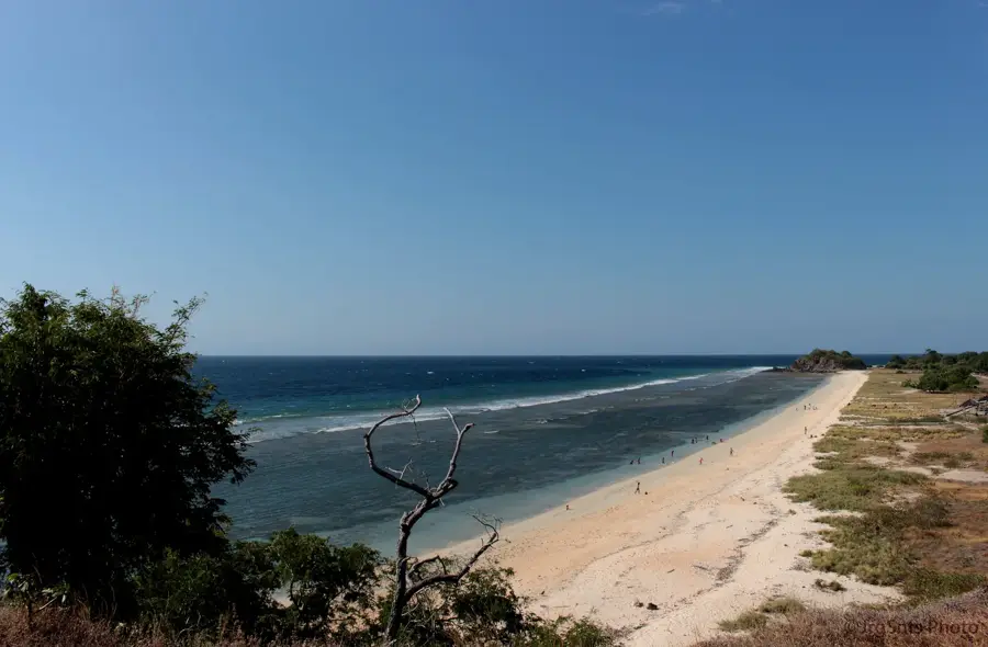
- The Caraulun River empties into the Timor Sea south of Same.
- It drains a large portion of the southern Manufahi District.
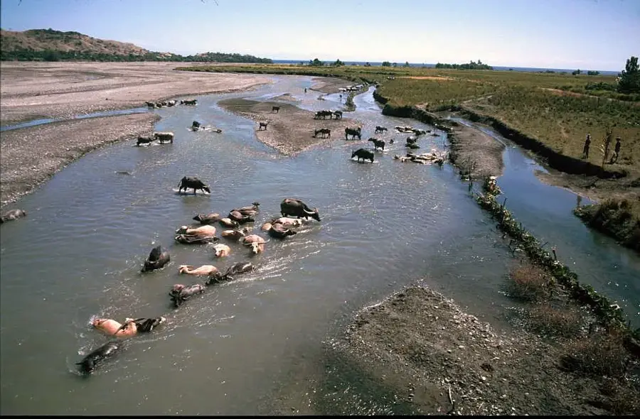
- The river is a vital water source for the southern coastal plains.
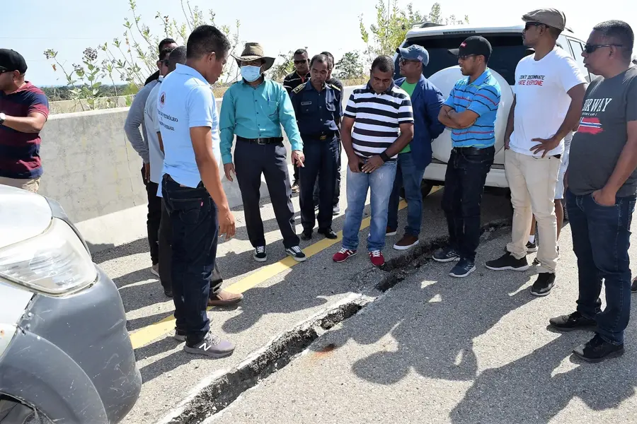
- Heavy rainfall often leads to flash floods in the river valley.
- Fertile soils in the lower reaches support intensive farming.
- The river provides critical habitats for local freshwater species.
Explore nearby
Notable places around
Route planner — Car & Motorhome
Where do you start? We build the route here, with stops and country notes along the way.
© OpenStreetMap contributors · OpenRouteService
Sights nearby
Frequently asked questions
Is the Caraulun River suitable for families?
Can you camp at Caraulun?
Are there good fishing opportunities?
What is the environment of the river like?
What is the best time of day for a visit?
Caraulun River: where is it located?
Caraulun River: when is the best time to visit?
Caraulun River: why is it worth visiting?

Nearby cities

History & landmarks
Nature

More places