Plizio Visual Lab
Ainaro
ℹ️Practical info — Ainaro
▾
🌤 Weather — 5 days
📍 Nearby
Sights nearby
💡 Tips
- Pack warm clothing as the mountainous climate is significantly cooler than the coast.
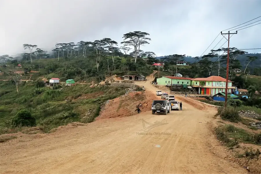
- Access to Ainaro requires navigating winding mountain roads; hire an experienced driver.
- Bring sufficient cash, as ATMs may be unreliable or non-existent in the area.
- Visit local markets early to see farmers bringing fresh produce from the mountains.
🍽 Food
Enjoy a freshly brewed local coffee at small roadside cafes.
A traditional corn, mung bean, and pumpkin stew served in local homes or small warungs.
Rice cooked in coconut milk wrapped in palm leaves, often sold by street vendors.
🛍 Shopping · 🧘 Quiet spots
Look for locally woven traditional textiles in small craft stalls.
Buy fresh organic vegetables and fruits directly from the central market.
Take a hike or a short drive to enjoy sweeping views of Timor's highest peak.
Wander through the cool, fragrant forests just outside the town.
Water temperature…
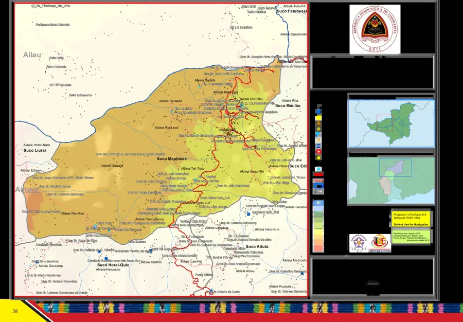
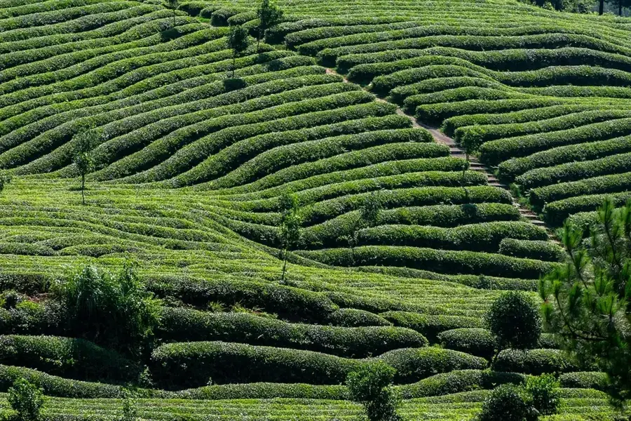
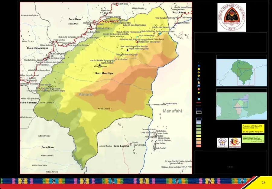
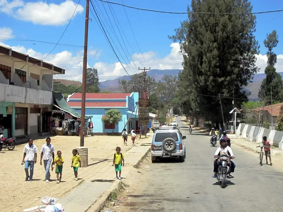
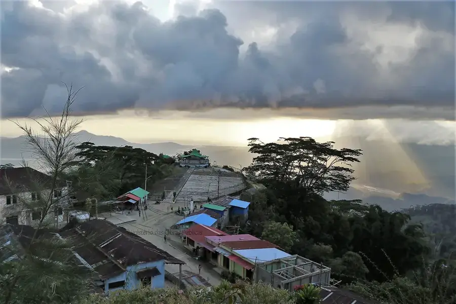
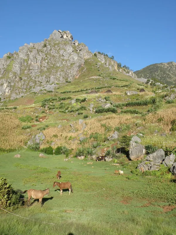
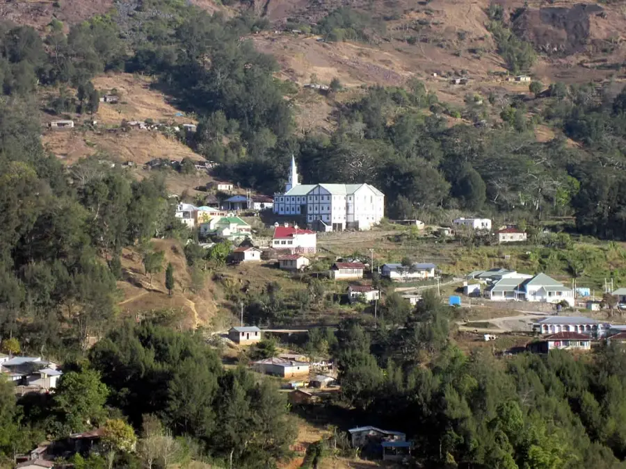
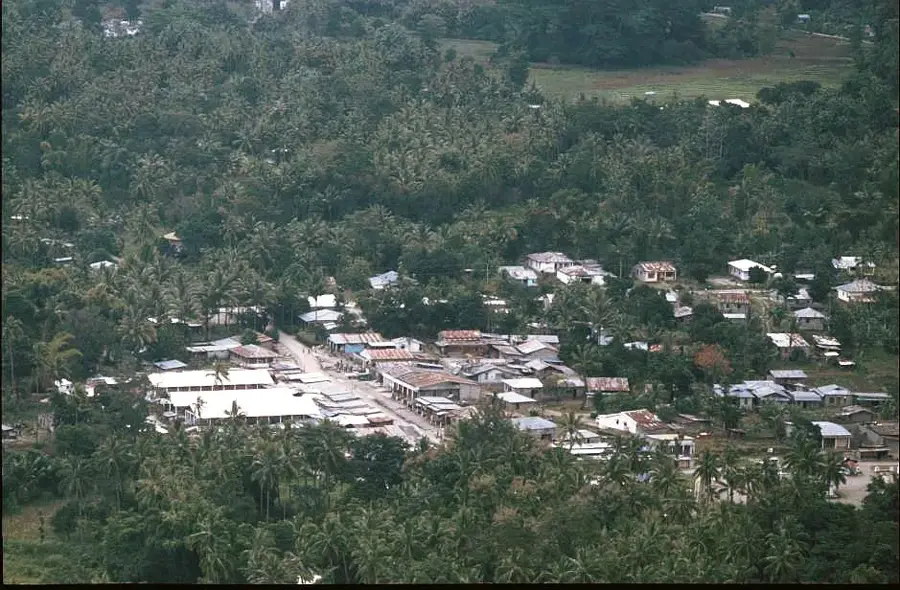
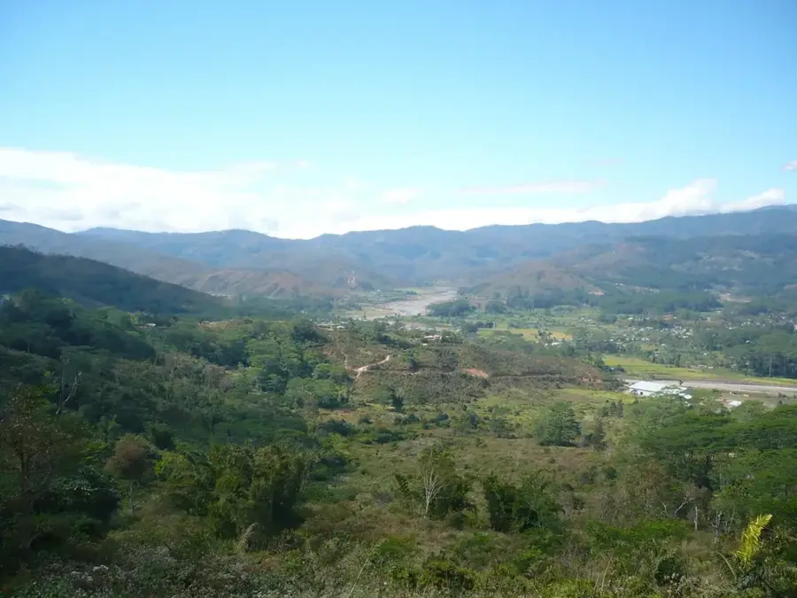
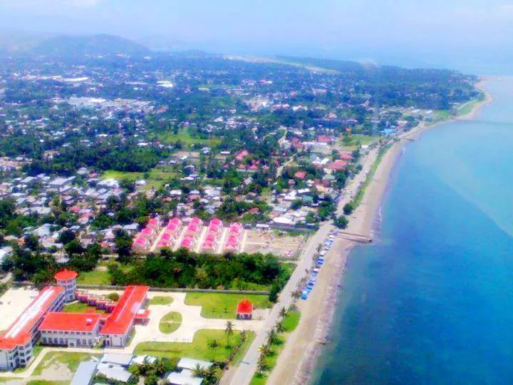
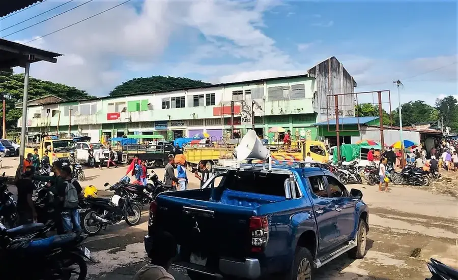
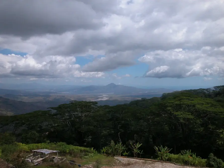
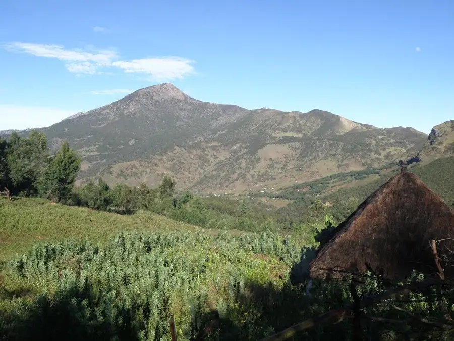
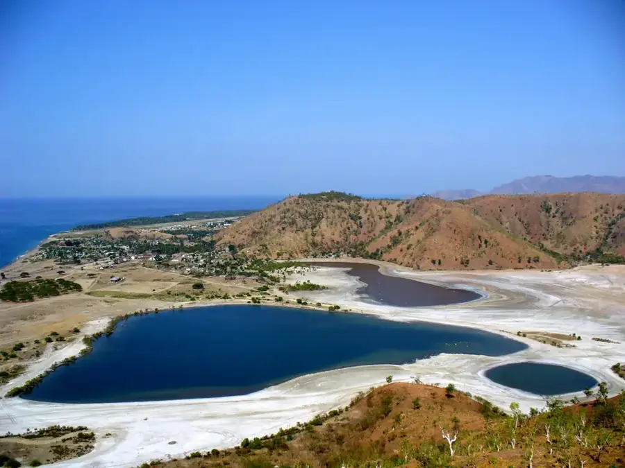
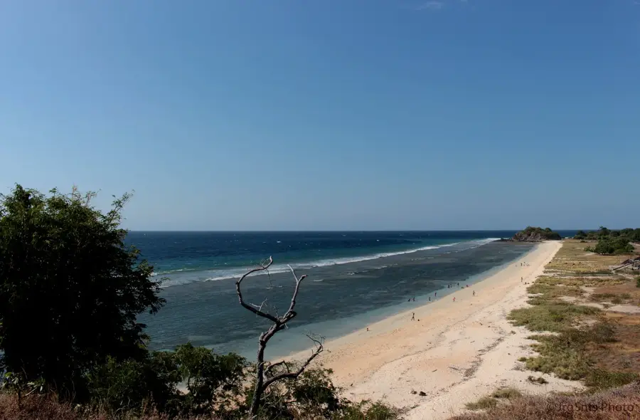
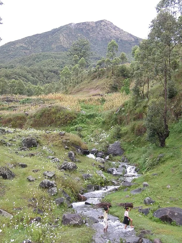
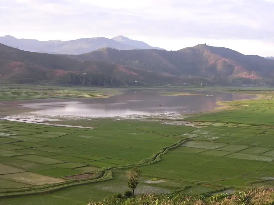
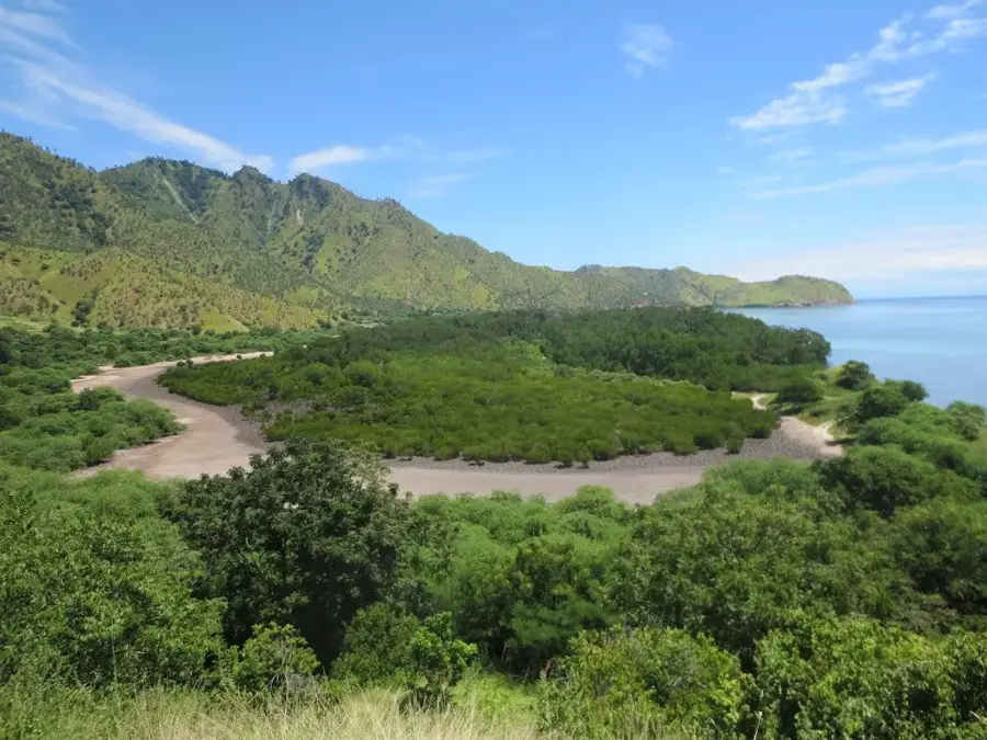
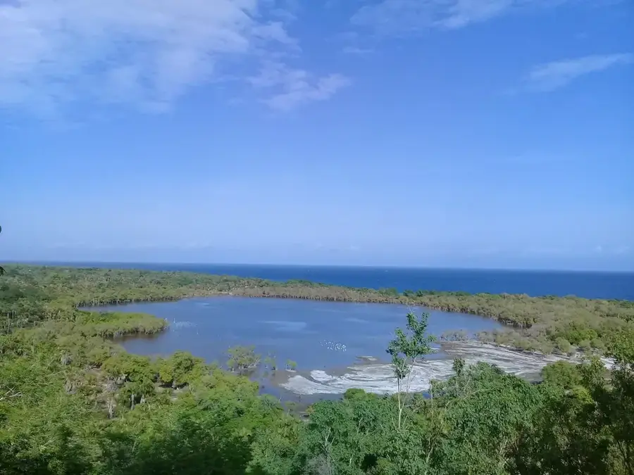
Ainaro is the administrative capital of the Ainaro municipality, located deep in the mountainous southwest of Timor-Leste. The town is most famous for its proximity to Mount Ramelau, the highest peak in the country, which holds immense spiritual and geographic significance for the nation. Historically, Ainaro was a vital center for the resistance against Indonesian occupation, hosting numerous strategic camps for FALINTIL fighters. The climate in this highland region is cool and frequently misty, making the town an important hub for the cultivation of Arabica coffee and various mountain fruits. During the post-referendum violence in 1999, the town was almost entirely destroyed, but it has since reclaimed its role as a regional center through extensive reconstruction efforts. Culturally, Ainaro is noted for its diversity of languages and traditions maintained by various ethnic groups in the area. Today, the town's architecture shows modern influences, while traditional building styles are still preserved on the outskirts. The surrounding landscape is characterized by deep valleys and rugged cliffs, making Ainaro one of the most scenic locations in the country.
- Location: Timor-Leste
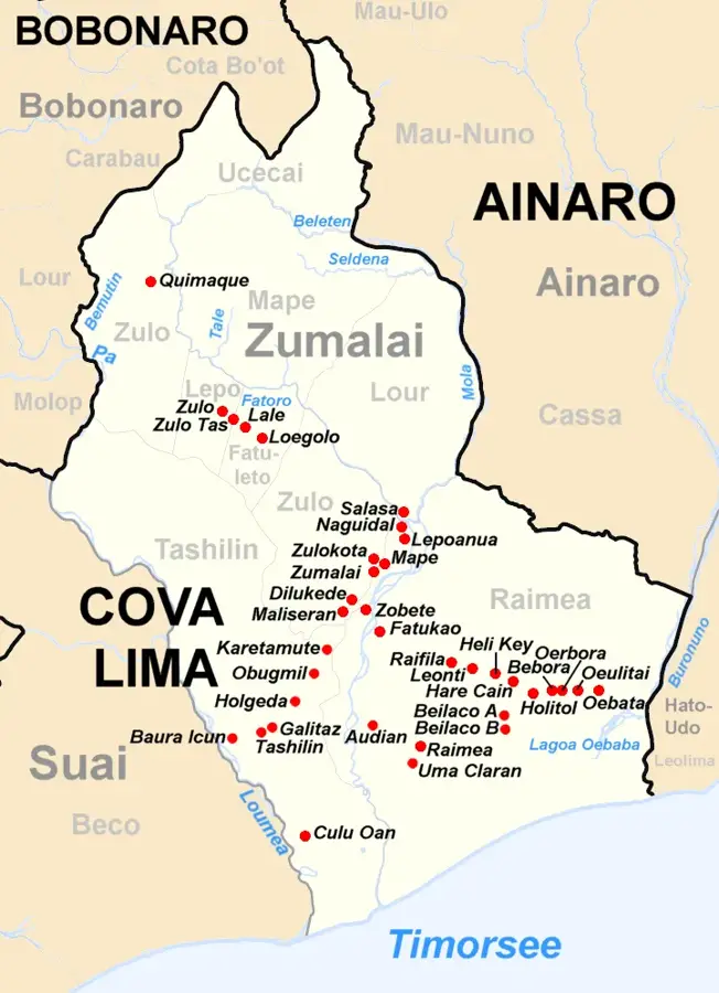
- Nearby: Zumalai (12 km)
- Population: ~12.000 (2026)
Best time to visit & climate
The most pleasant time to visit is Jul–Sep.
| Jan | Feb | Mar | Apr | May | Jun | Jul | Aug | Sep | Oct | Nov | Dec | |
|---|---|---|---|---|---|---|---|---|---|---|---|---|
| Avg °C | 24 | 23 | 23 | 23 | 22 | 21 | 21 | 21 | 22 | 24 | 25 | 25 |
| Rain mm | 242 | 205 | 126 | 55 | 37 | 23 | 10 | 4 | 5 | 13 | 57 | 173 |
Geography
Facts
- Ainaro is the gateway to Mount Ramelau, which reaches a height of 2,963 meters.
- The town was a major stronghold for the Timorese resistance for over two decades.
- It is a key producer of organic, high-altitude coffee for the global market.
- Ainaro suffered nearly 95% destruction during the 1999 crisis.
- The district is home to multiple ethnic groups, including the Mambai and Tetum-Terik.
- The town hosts an annual pilgrimage to the statue of the Virgin Mary on Mt. Ramelau.
Explore nearby
Notable places around
Route planner — Car & Motorhome
Where do you start? We build the route here, with stops and country notes along the way.
© OpenStreetMap contributors · OpenRouteService
Sights in the town Ainaro (1)
Frequently asked questions
How long to stay in Ainaro?
Best time to visit Ainaro?
How to get to Ainaro?
What makes Ainaro special?
Is clothing important?
Ainaro: where is it located?
Ainaro: when is the best time to visit?
Ainaro: why is it worth visiting?

Nearby cities

History & landmarks

Nature

More places