Plizio Visual Lab
Zumalai
ℹ️Practical info — Zumalai
▾
🌤 Weather — 5 days
📍 Nearby
Sights nearby
💡 Tips
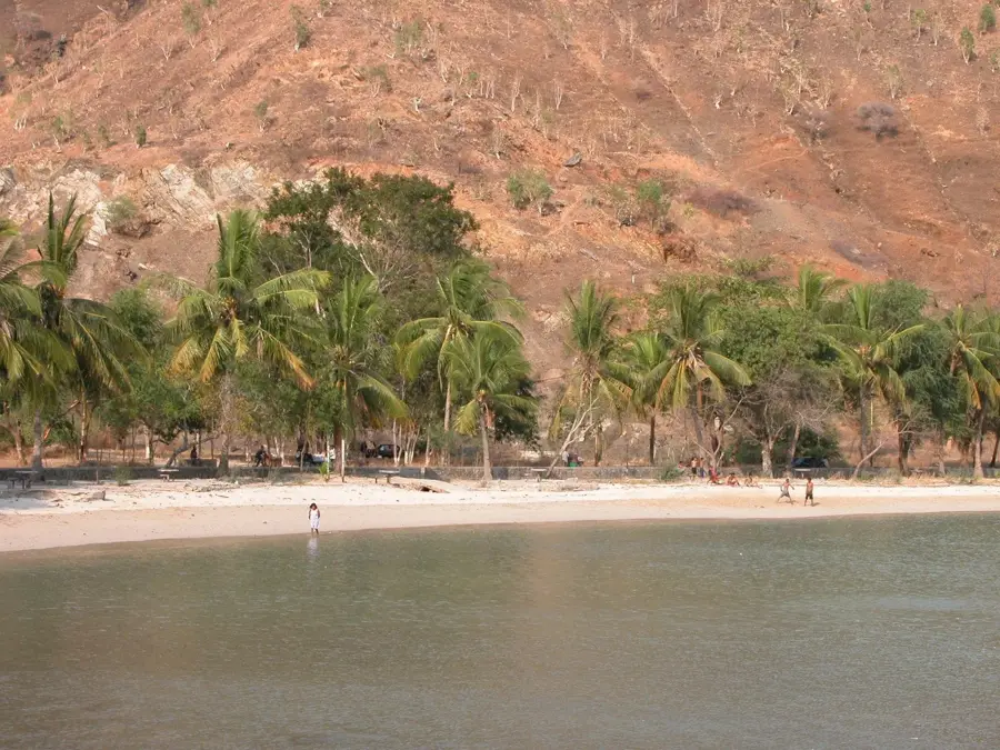
- Beware of saltwater crocodiles; never swim in the rivers or the sea in this area.
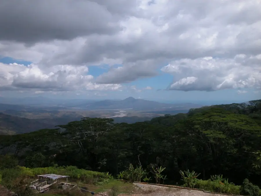
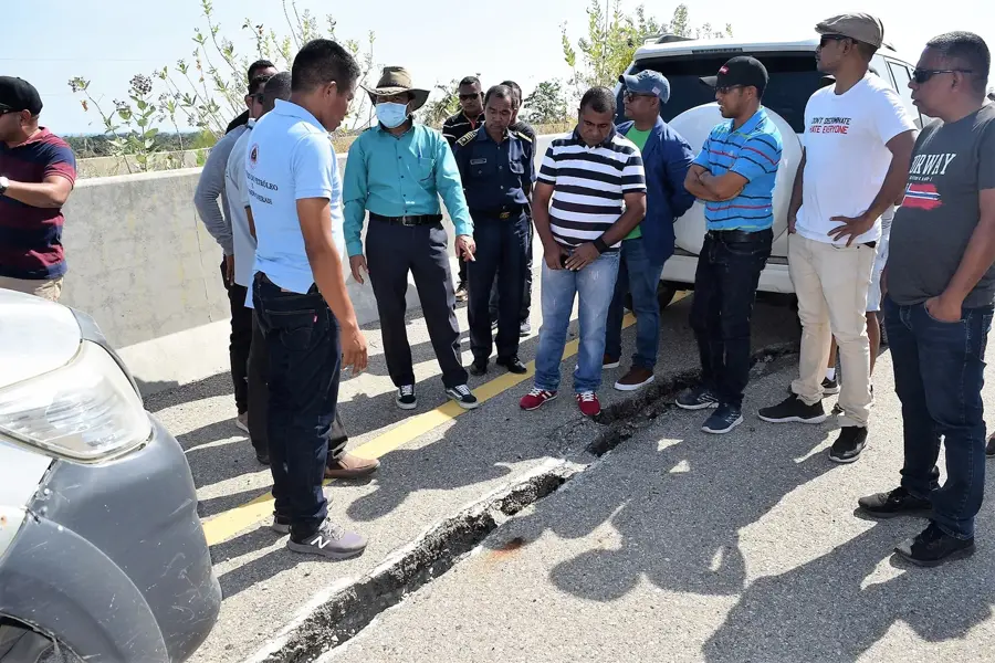
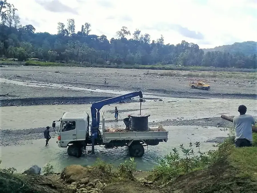
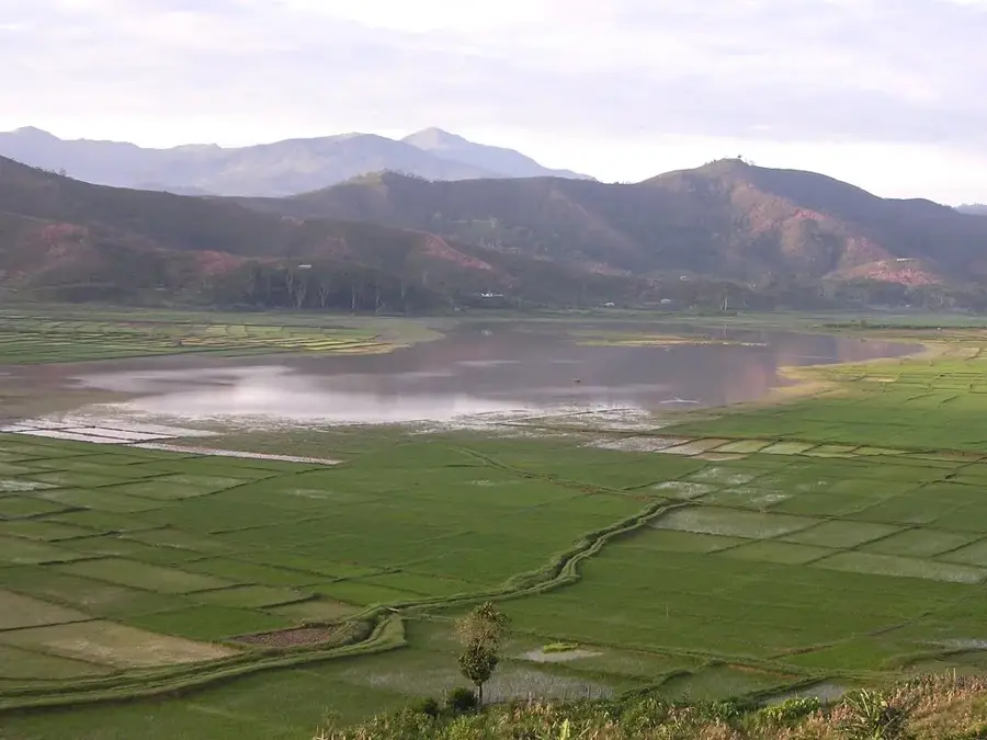
- The Mola Bridge has a spectacular view of the massive braided riverbed and mountains.
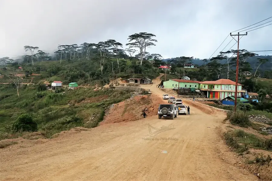
- A 4WD vehicle is mandatory due to the rough and often muddy roads on the south coast.
- Use high-quality mosquito repellent as there is a significant risk of malaria and dengue.
- Respect 'Lulik' (sacred) areas and always ask for permission before taking photos of people.
🍽 Food
Try the famous and nutritious red rice harvested from the Raimea plains.
Fresh catch from the Timor Sea, often prepared simply over an open fire.
A popular snack in this agricultural zone, often roasted and sold at the market.
🛍 Shopping · 🧘 Quiet spots
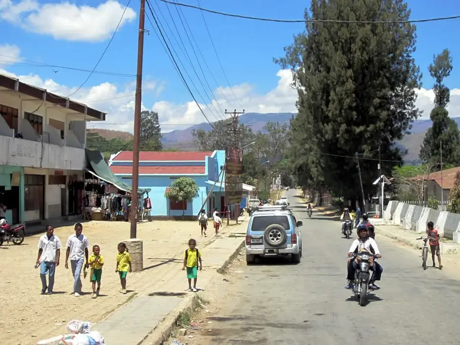
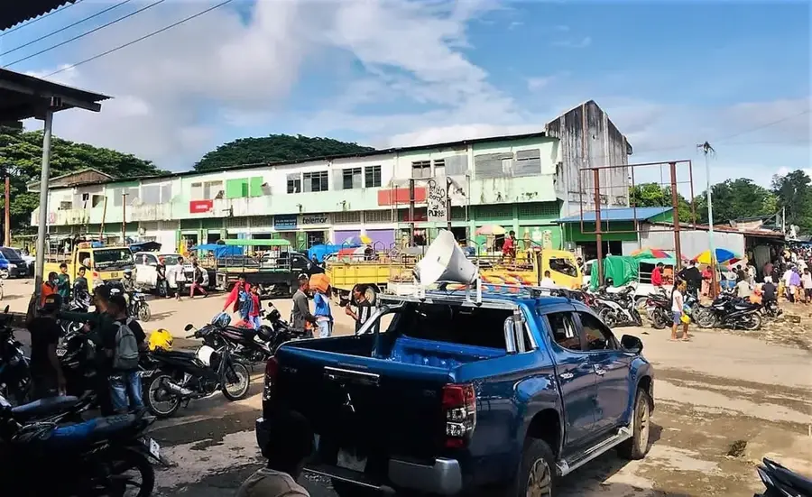
Buy fresh produce directly from the Zumalai market for an authentic taste.
Look for hand-woven baskets and mats made from local palm leaves.
Enjoy the peace and lush green views across the extensive rice paddies.
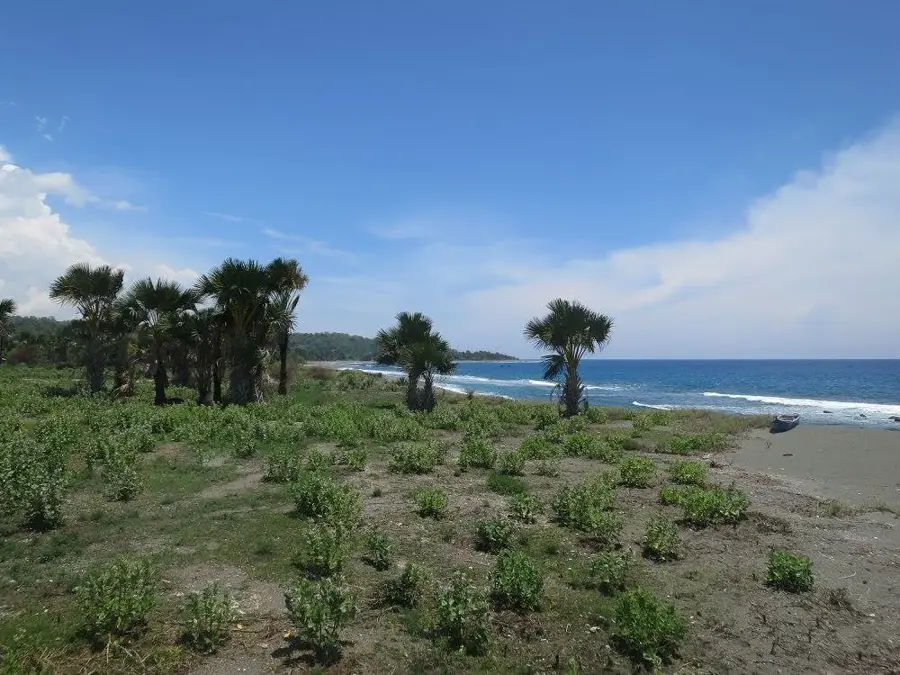
Untouched coastal stretches first-rate for scenic walks (strictly no swimming).
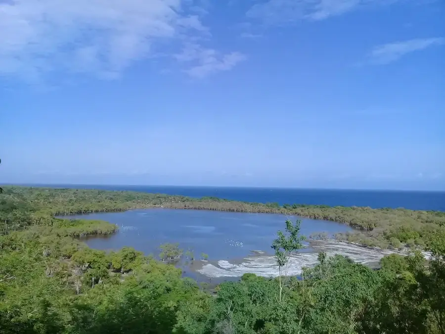
A serene spot for nature observation, keeping a safe distance from the water.
Water temperature…
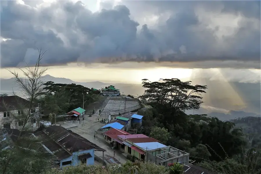
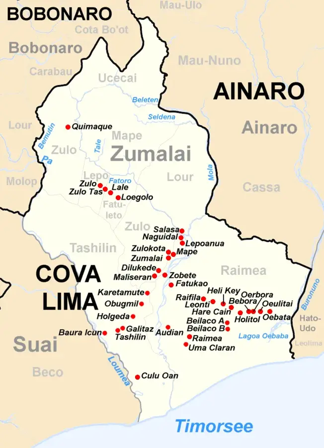
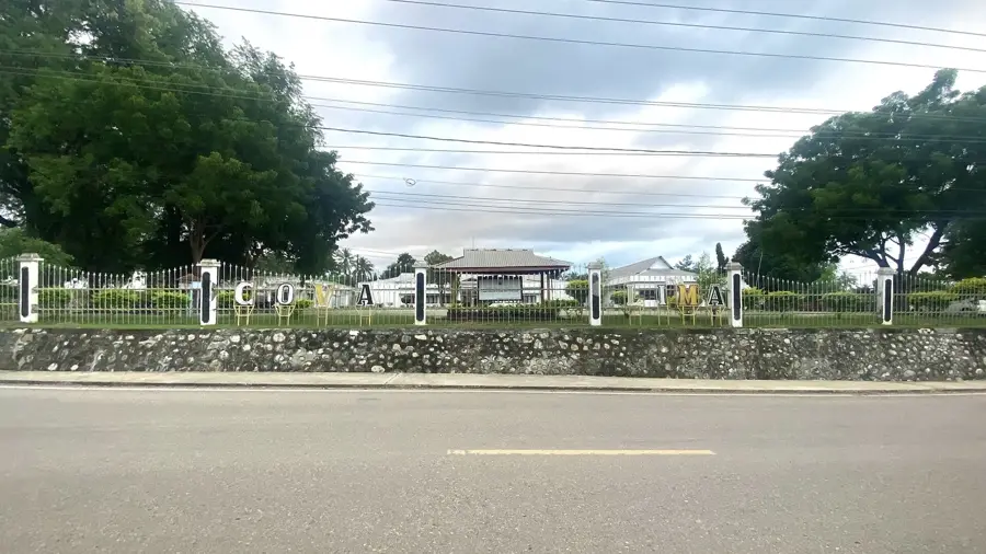
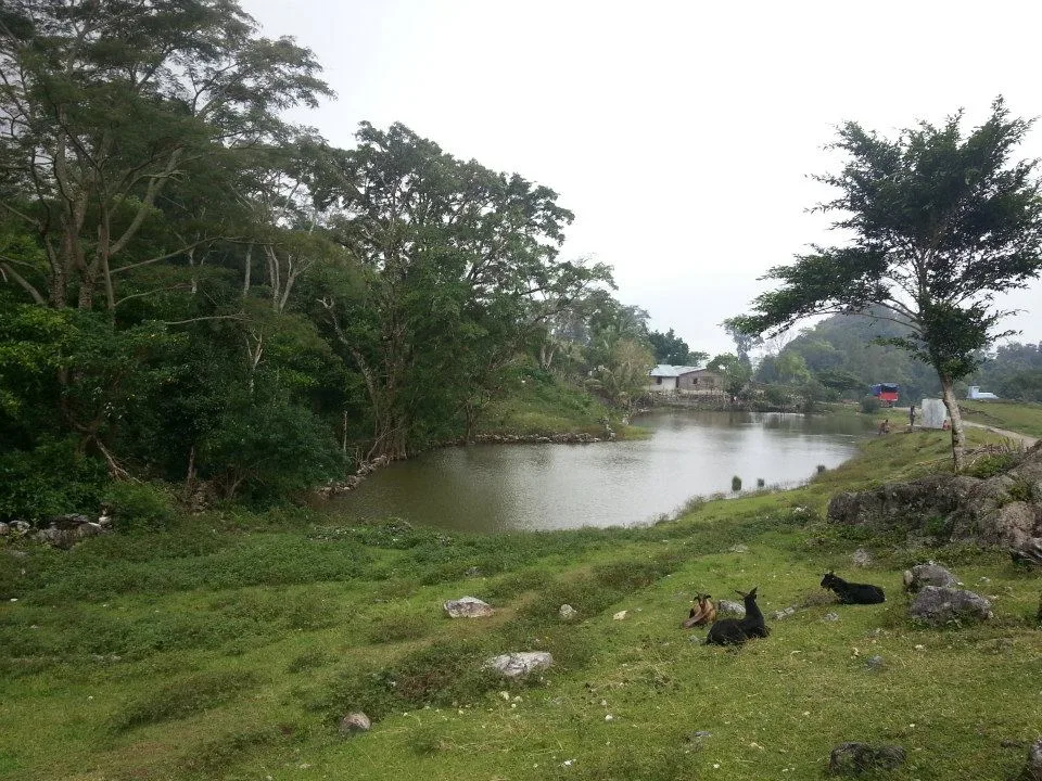
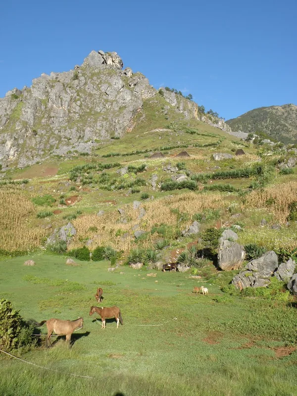
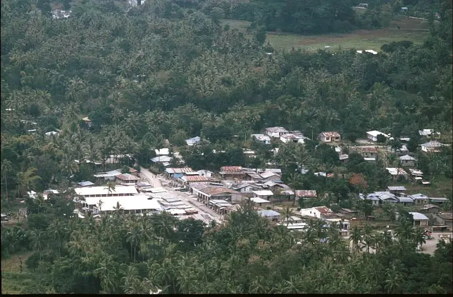
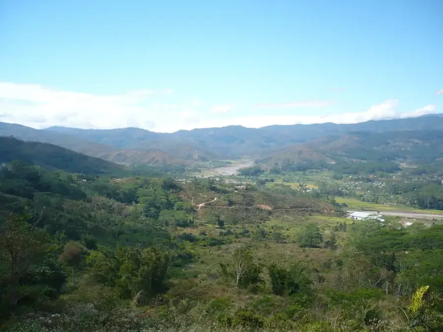
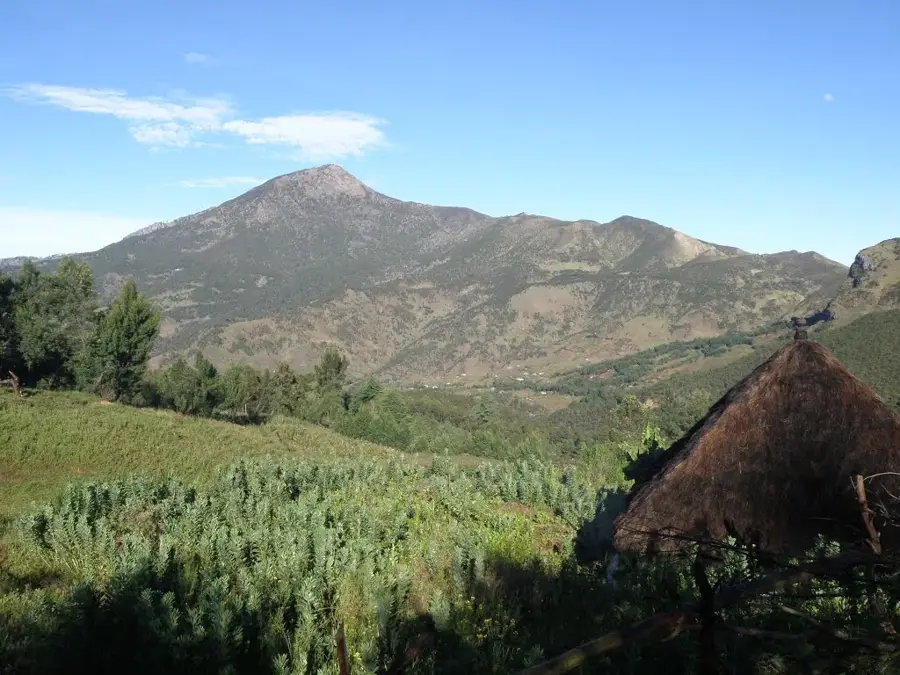
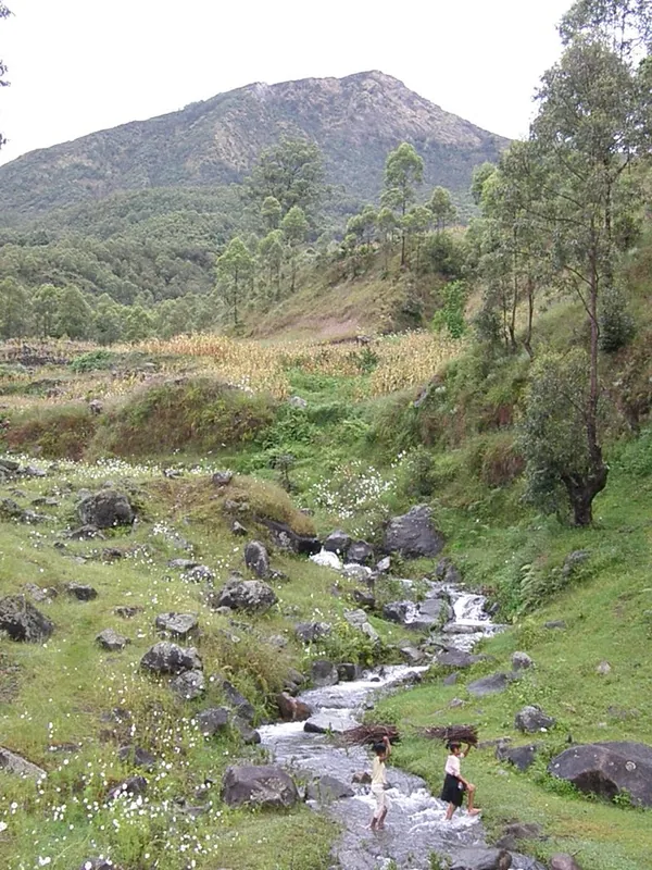
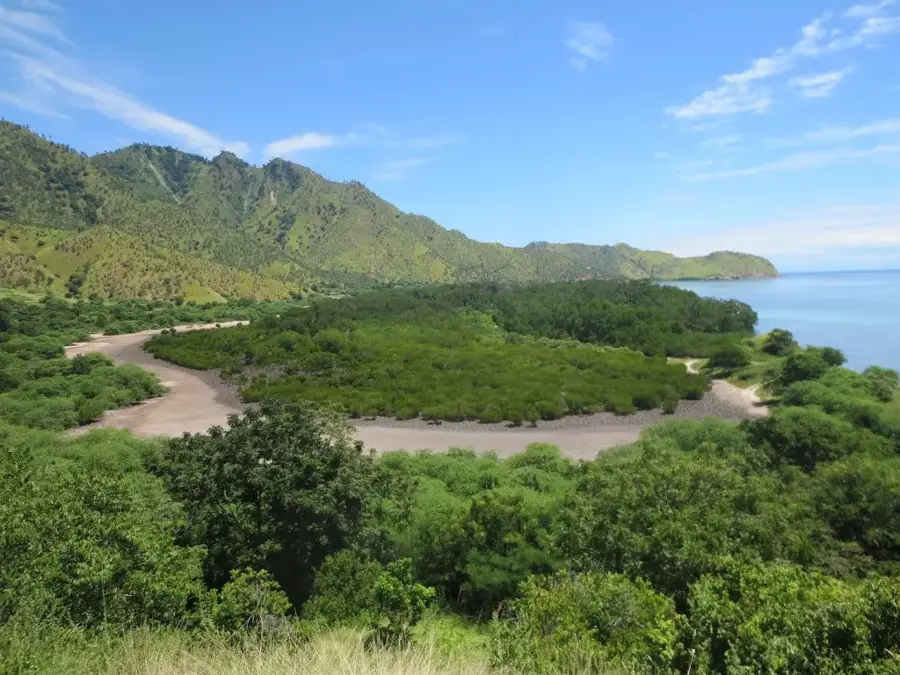
Zumalai is a strategically important administrative post in the Cova Lima municipality, located along the southern coastal road of East Timor. The region stretches from the foothills of the central mountains down to the Timor Sea, offering a diverse ecological landscape. The economy of Zumalai is heavily shaped by agriculture, particularly rice cultivation in the fertile plains along the Mola River. Historically, the area was subject to significant unrest during the conflict in the late 1990s but has since developed into a peaceful agricultural center. Its strategic location makes Zumalai an important connection point between the towns of Suai and Ainaro. The infrastructure is undergoing continuous improvement to facilitate the transport of agricultural products. Culturally, the region is defined by the traditions of the Bunak and Tetum language groups, who have coexisted here for generations. The natural environment provides potential for ecotourism but remains largely untouched due to relative isolation.
- Location: Timor-Leste
- Nearby: Ainaro (12 km)
Best time to visit & climate
The most pleasant time to visit is Jul–Sep.
| Jan | Feb | Mar | Apr | May | Jun | Jul | Aug | Sep | Oct | Nov | Dec | |
|---|---|---|---|---|---|---|---|---|---|---|---|---|
| Avg °C | 24 | 23 | 23 | 23 | 22 | 21 | 21 | 21 | 22 | 24 | 25 | 25 |
| Rain mm | 242 | 205 | 126 | 55 | 37 | 23 | 10 | 4 | 5 | 13 | 57 | 173 |
Geography
Facts
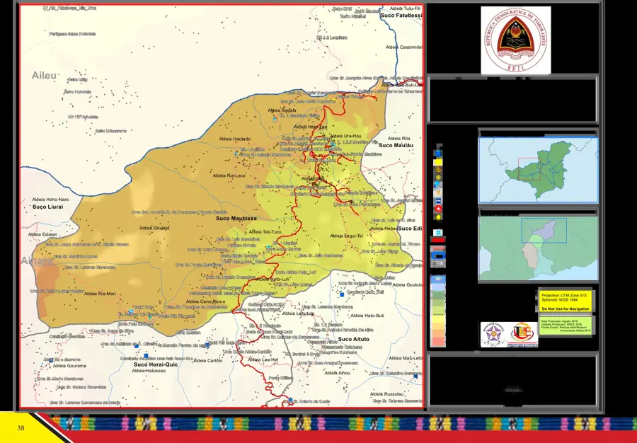
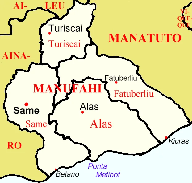
- Located in Cova Lima municipality on the south coast
- Important center for rice cultivation on the Mola River
- Situated on the strategic route between Suai and Ainaro
- Population of approximately 13,000 in the administrative post
- Home to the Bunak and Tetum Terik language groups
- An area of high biodiversity and fertile alluvial plains
Explore nearby
Notable places around
Route planner — Car & Motorhome
Where do you start? We build the route here, with stops and country notes along the way.
© OpenStreetMap contributors · OpenRouteService
Sights in the town Zumalai (1)
Frequently asked questions
How much time to plan for Zumalai?
When is the ideal time to travel to Zumalai?
How to get to Zumalai?
What should one eat in Zumalai?
Is Zumalai family-friendly?
Zumalai: where is it located?
Zumalai: when is the best time to visit?
Zumalai: why is it worth visiting?

Nearby cities

History & landmarks
Nature

More places