Plizio Visual Lab
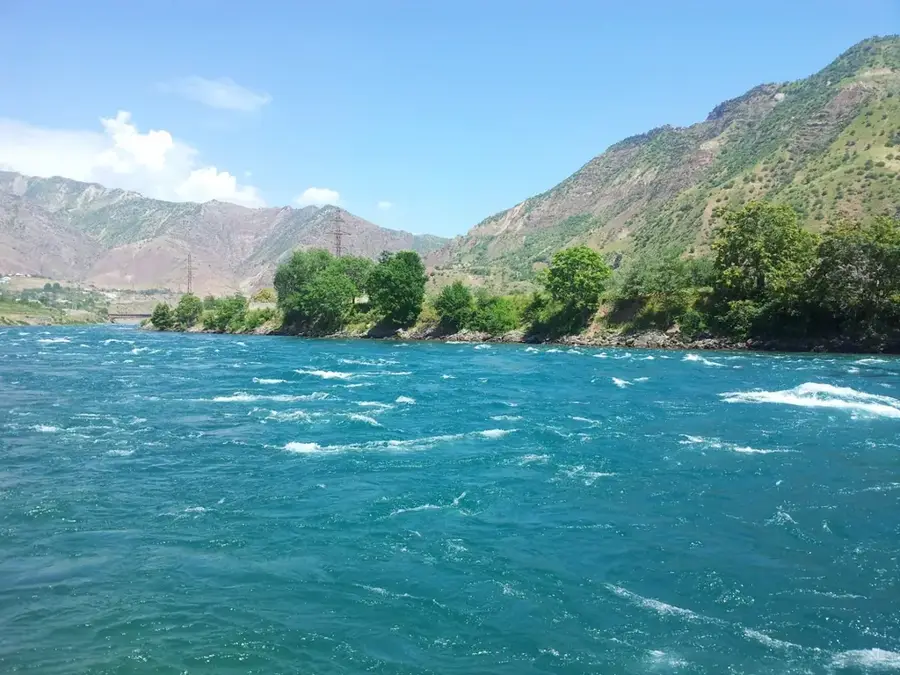
Pyanj River
Weather…
Water temperature…
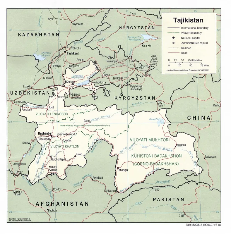
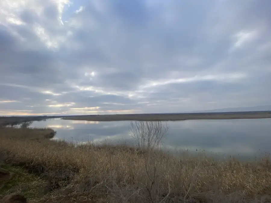
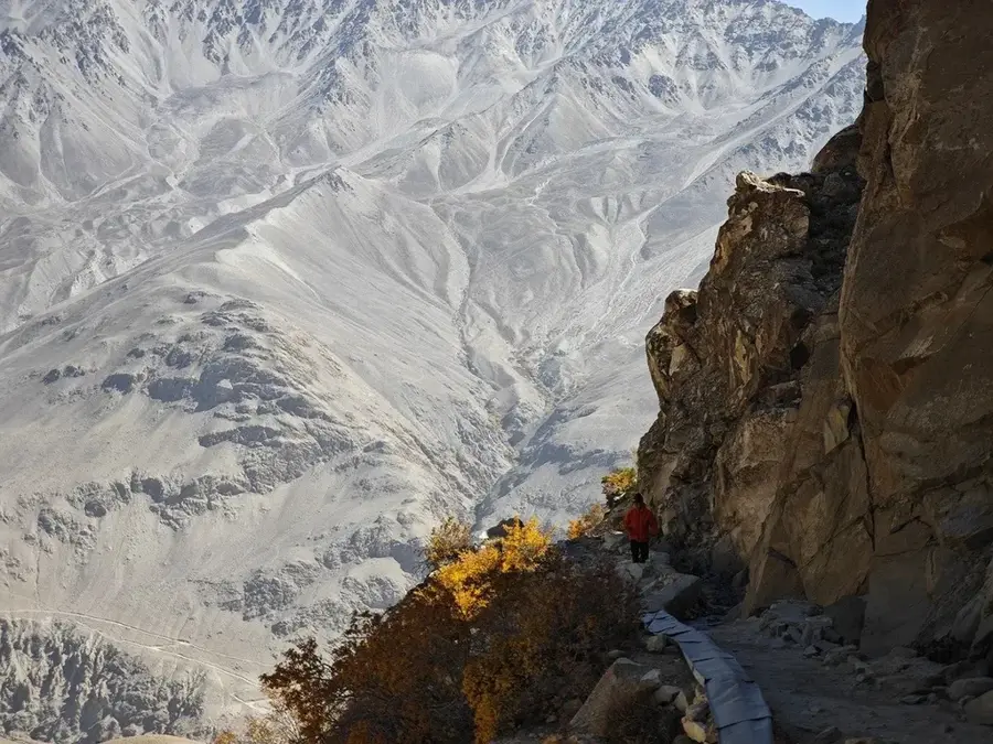
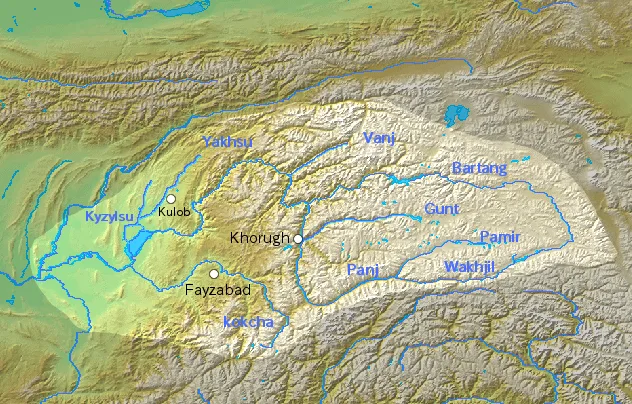
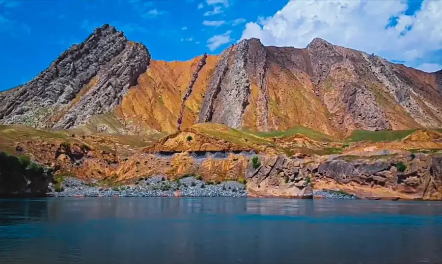
The Pyanj River is a significant waterway in Central Asia, forming the natural border between Tajikistan and Afghanistan for its entire length of about 921 kilometers. It is formed by the confluence of the Pamir and Wakhan rivers near the village of Langar. The Pyanj flows through deep gorges and wide valleys within the Pamir Mountains, known for its swift current and sediment-laden, muddy waters. At its lower reaches, it joins the Vakhsh River to form the Amu Darya, one of the most vital rivers in the region. Historically, the Pyanj valley served as an important branch of the Silk Road, connecting the high mountains with the lowland plains. Due to its border status, access to the riverbanks is often restricted, but traveling along the Pamir Highway provides spectacular views of Afghan villages just across the narrow river and the dramatic surrounding peaks.
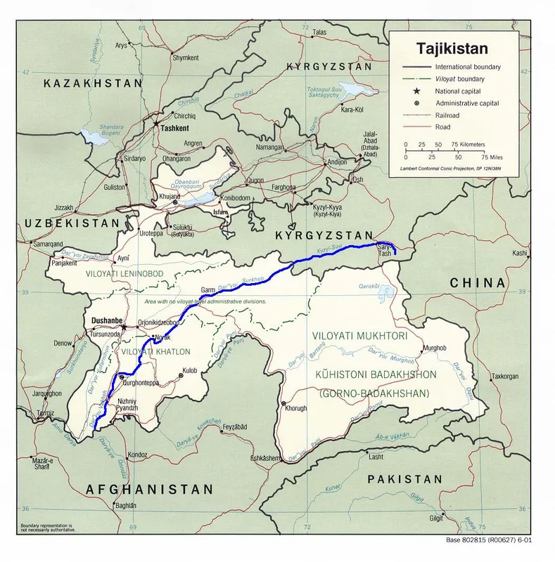
- Location: Tajikistan
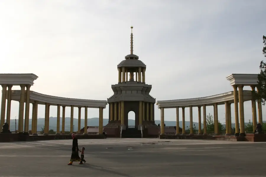
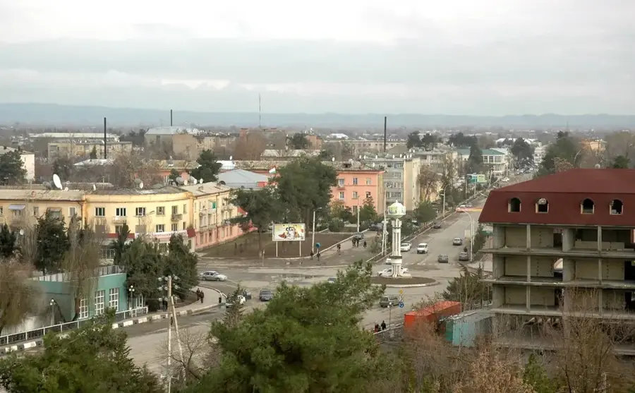
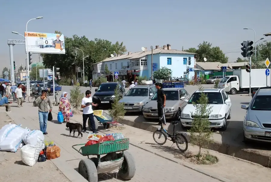
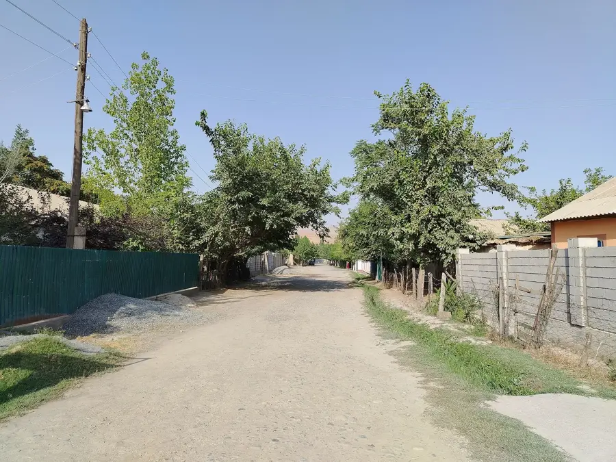
- Nearby: Qabodiyon (8 km)
Best time to visit & climate
The most pleasant time to visit is Apr, Sep, Oct.
| Jan | Feb | Mar | Apr | May | Jun | Jul | Aug | Sep | Oct | Nov | Dec | |
|---|---|---|---|---|---|---|---|---|---|---|---|---|
| Avg °C | 5 | 7 | 14 | 20 | 26 | 31 | 33 | 31 | 26 | 19 | 11 | 6 |
| Rain mm | 27 | 37 | 30 | 25 | 13 | 3 | 0 | 0 | 0 | 4 | 26 | 23 |
📋 Practical info
Geography
Facts
- The total length of the Pyanj River is approximately 921 kilometers.
- It serves as the international border between Tajikistan and Afghanistan.
- The river is formed by the union of the Pamir and Wakhan rivers.
- It is the primary headstream that creates the Amu Darya river.
- The Pyanj valley was a key historical route for Silk Road merchants.
- Water levels fluctuate significantly based on seasonal glacier melt.
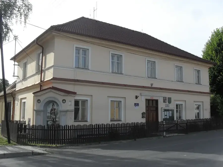
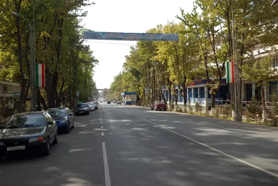
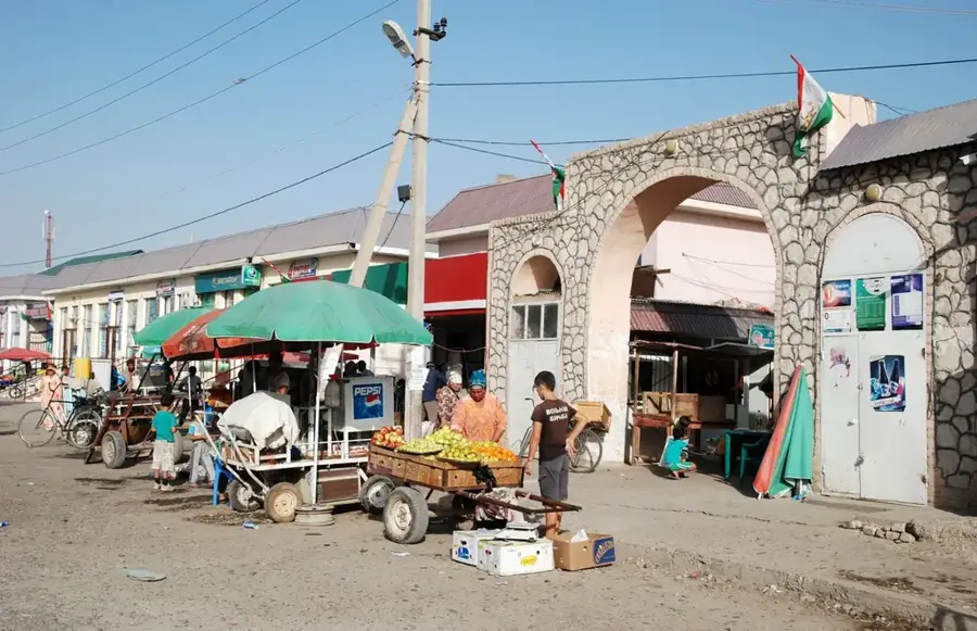
Explore nearby
Notable places around
Route planner — Car & Motorhome
Where do you start? We build the route here, with stops and country notes along the way.
© OpenStreetMap contributors · OpenRouteService
Sights nearby
Frequently asked questions
Is the Pandsch suitable for swimming?
Can one fish in the river?
Does the Pandsch offer great photo opportunities?
Is there public transport along the river?
How is the water quality?
Pyanj River: where is it located?
Pyanj River: when is the best time to visit?
Pyanj River: why is it worth visiting?

Nearby cities

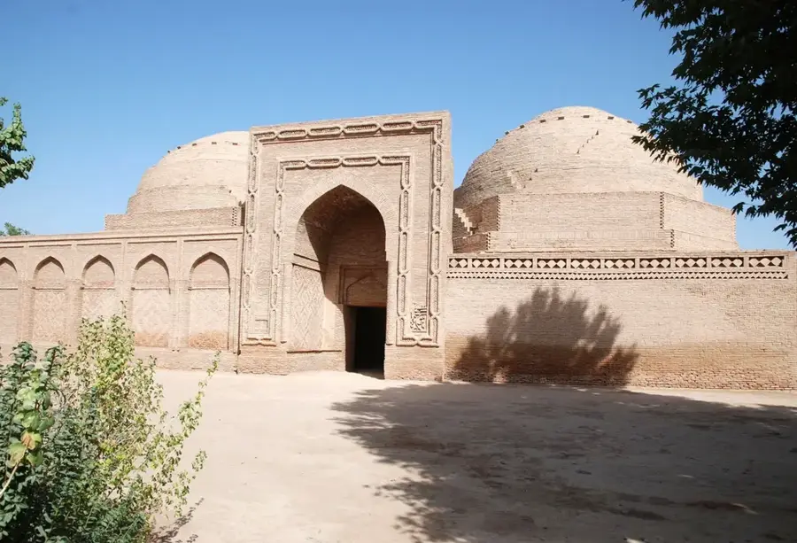
History & landmarks
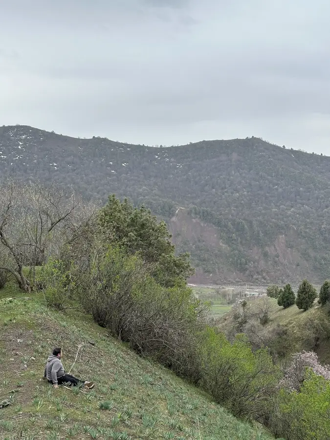
Nature
More places