Plizio Visual Lab
Farkhor
ℹ️Practical info — Farkhor
▾
🌤 Weather — 5 days
📍 Nearby
Sights nearby
💡 Tips
- Carry your passport at all times, as the city is close to the Afghan border and checkpoints are common.
- Summers are scorching; start your outdoor activities very early in the morning.
- Shared taxis are the primary mode of transport to and from Dushanbe or Kulob.
- Be prepared for occasional power outages; carrying a power bank is a smart idea.
🍽 Food
The national dish of rice, meat, and carrots, best eaten at a local traditional tea house (choykhona).
A hearty dish made of layered flatbread and yogurt, available at the bazaar food stalls.
In late summer, buy the incredibly sweet local melons from street vendors.
🛍 Shopping · 🧘 Quiet spots
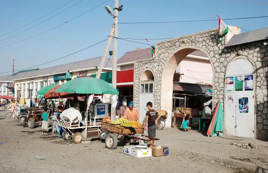
A bustling morning market well-suited for fresh produce, dried fruits, and nuts.
Grab the traditional flatbread directly from local clay ovens (tandyr) in the market.
A traditional tea house with tapchans (raised platforms) to relax, drink green tea, and escape the heat.
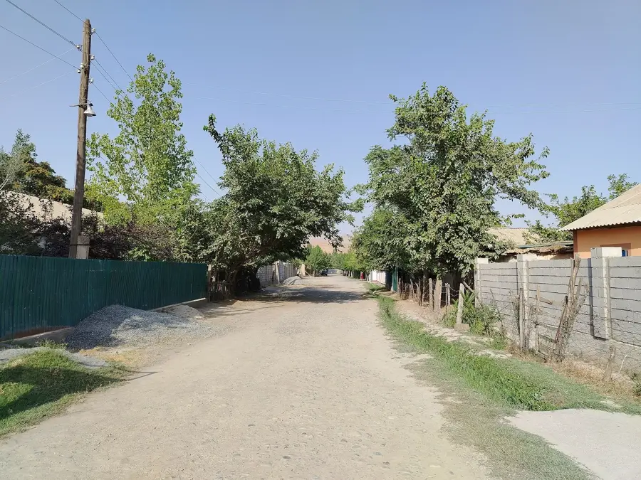
The cotton and wheat fields surrounding the town offer peaceful walking routes.
Water temperature…
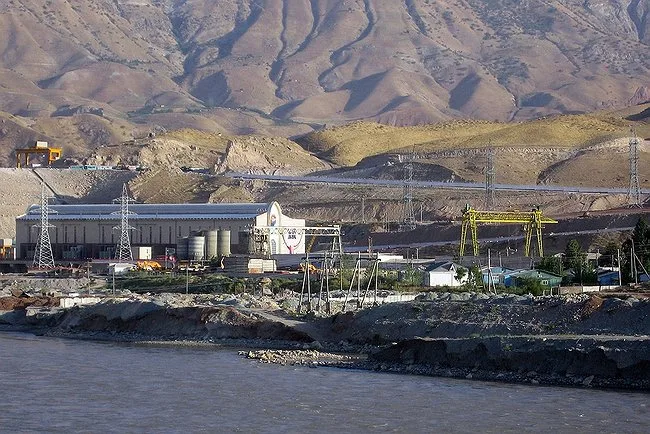
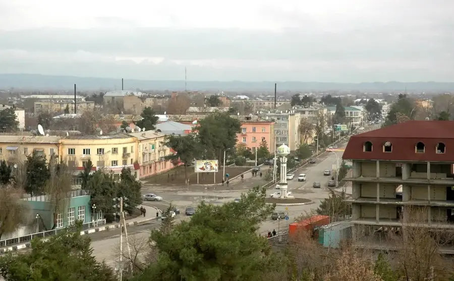
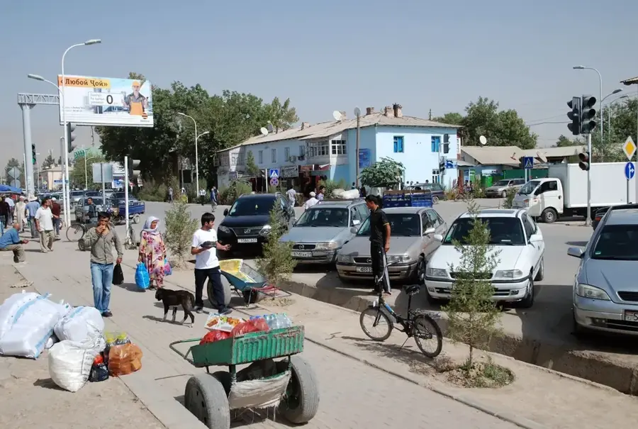
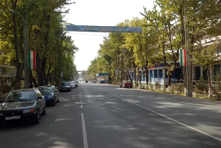
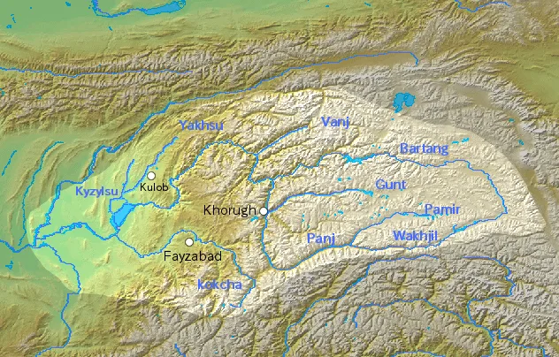
Farkhor lies in the far south of Tajikistan, on the fertile Vakhsh lowland belt in Khatlon Province, sharing a direct border with Afghanistan. The town of about 25,000 inhabitants is known above all as an agricultural centre, producing cotton, rice, pomegranates, tomatoes, and watermelons that are nationally famed for their flavour. During the Soviet, Afghan War in the 1980s Farkhor played a key strategic role, treating Afghan mujahideen casualties and serving as a logistics base. Internationally, the town gained notoriety because Northern Alliance leader Ahmad Shah Massoud was rushed to the Farkhor hospital after the 2001 assassination attempt and pronounced dead there. Today modernisation projects, new irrigation systems, and solar farms are reshaping the town, whose economy is tightly linked to the markets of nearby Bokhtar.
- Location: Tajikistan
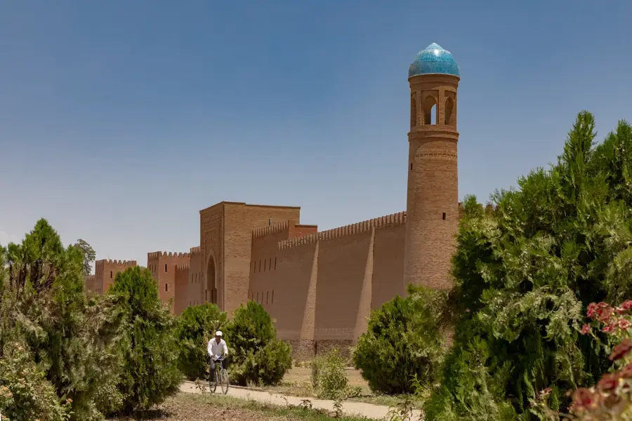
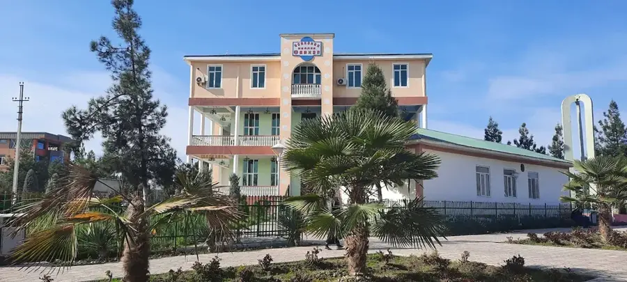
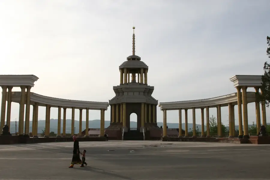
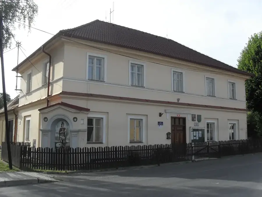
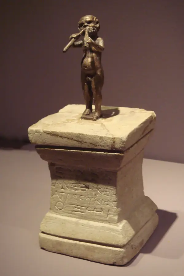
- Top sights: Culture home · Museum · Mosque
- Nearby: Danghara (24 km)
- Population: ~21.736 (2012)
Best time to visit & climate
The most pleasant time to visit is May, Sep, Oct.
| Jan | Feb | Mar | Apr | May | Jun | Jul | Aug | Sep | Oct | Nov | Dec | |
|---|---|---|---|---|---|---|---|---|---|---|---|---|
| Avg °C | 4 | 6 | 12 | 18 | 24 | 29 | 31 | 29 | 24 | 18 | 10 | 5 |
| Rain mm | 32 | 44 | 40 | 36 | 21 | 5 | 1 | 0 | 1 | 6 | 28 | 29 |
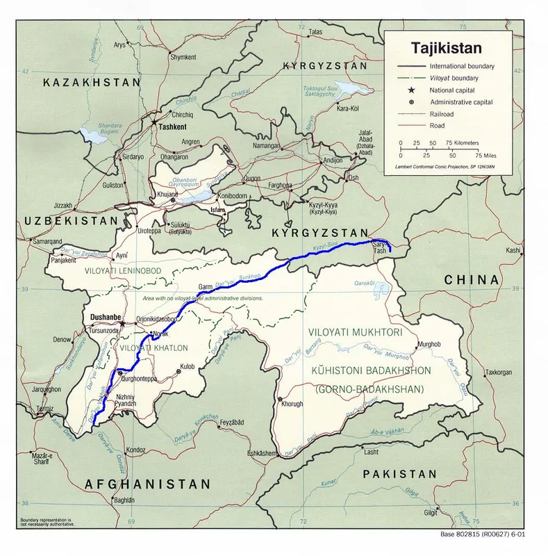
Geography
Facts
- Farkhor is located approximately 200 kilometers southeast of Dushanbe.
- The Farkhor Air Base is operated in cooperation with India.
- Settlement traces from the 4th century BC have been discovered nearby.
- The region is renowned for producing high-quality cotton on a national scale.
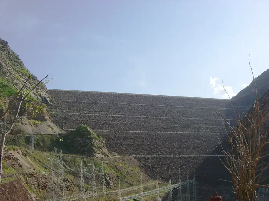
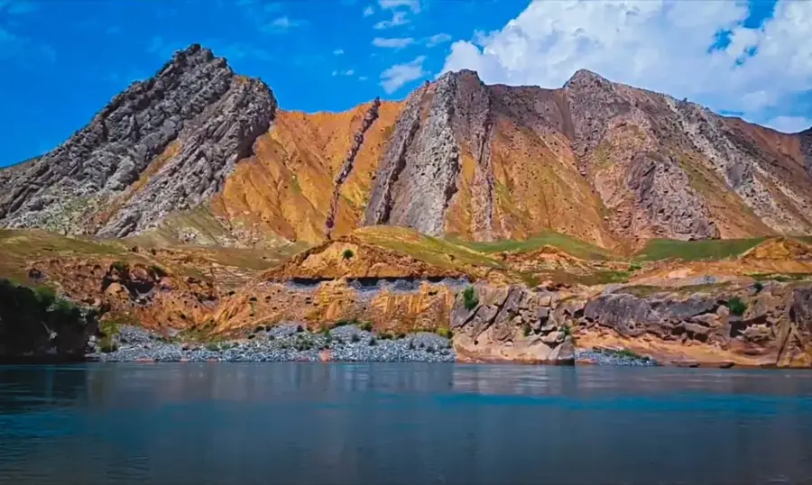
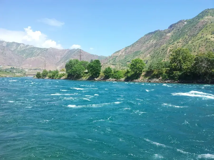
- The Panj River forms the natural international border with Afghanistan here.
- The city serves as the administrative center for the district of the same name.
Explore nearby
Notable places around
Route planner — Car & Motorhome
Where do you start? We build the route here, with stops and country notes along the way.
© OpenStreetMap contributors · OpenRouteService
Sights in the town Farkhor (3)
Frequently asked questions
What kind of place is Farchor?
Is the town touristy?
When should I visit Farchor?
Are there sights?
Is it safe there?
Farkhor: where is it located?
Farkhor: what is there to see?
Farkhor: when is the best time to visit?
Farkhor: why is it worth visiting?

Nearby cities

History & landmarks

Nature
More places