Plizio Visual Lab
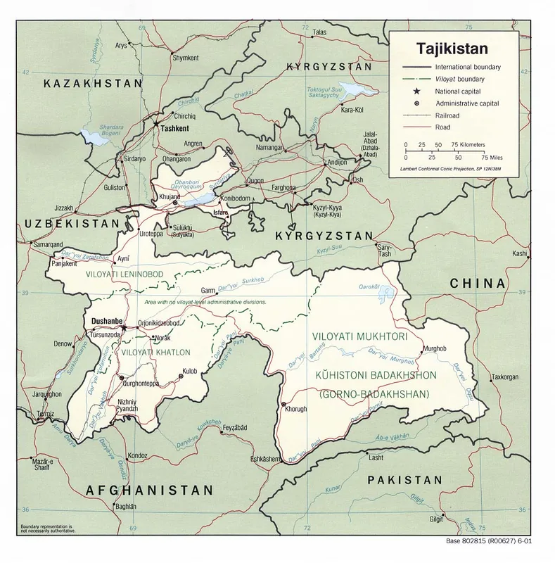
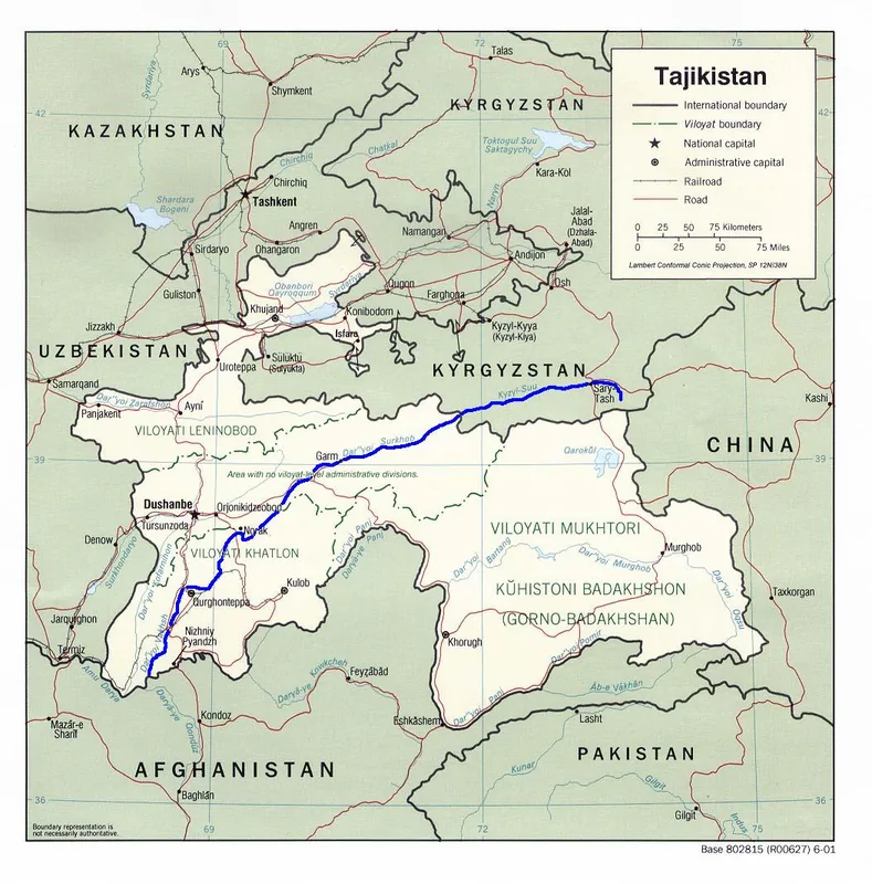
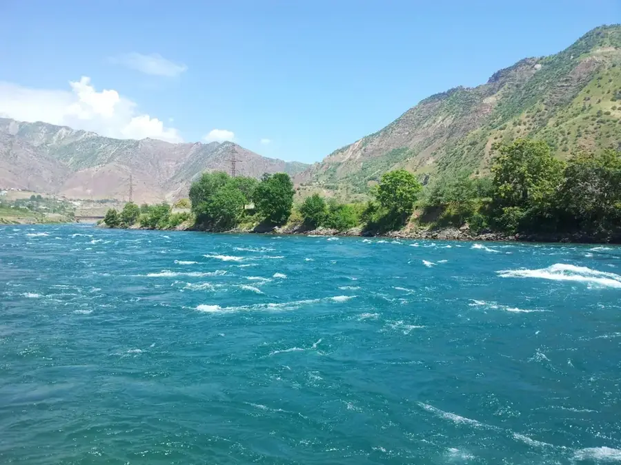
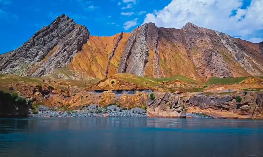
Vakhsh River
Weather…
Water temperature…
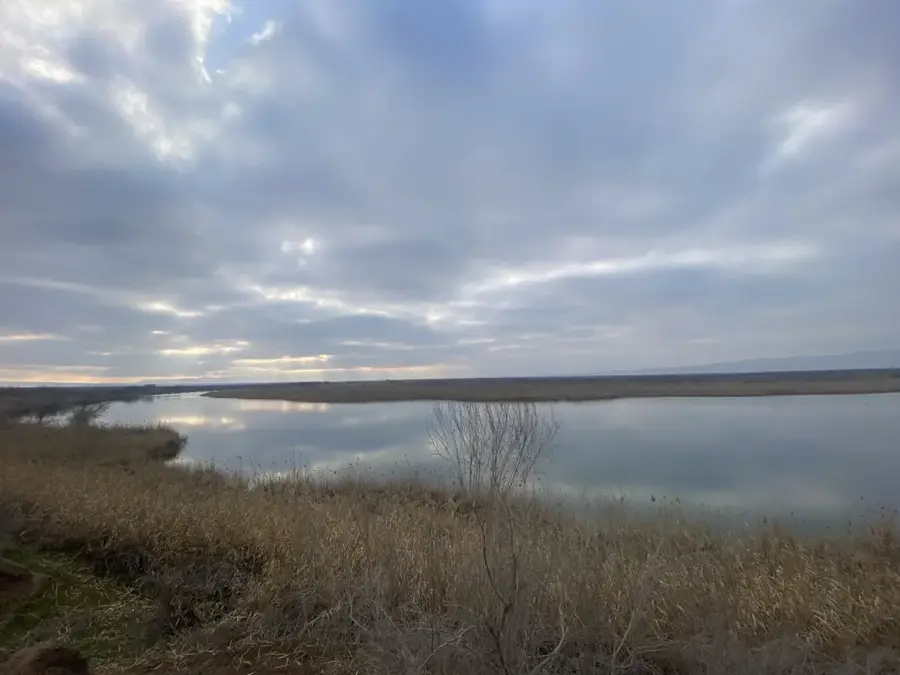
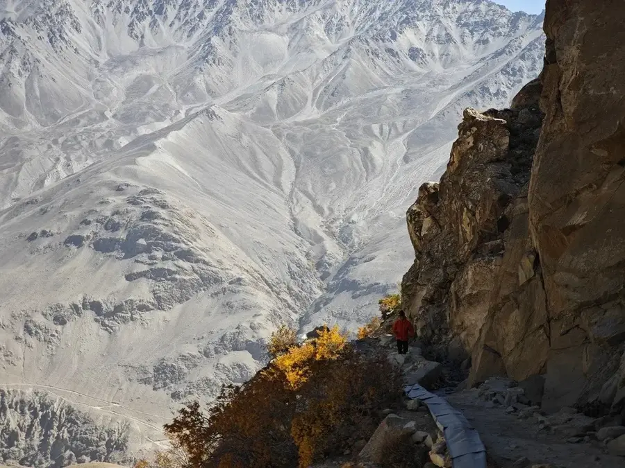
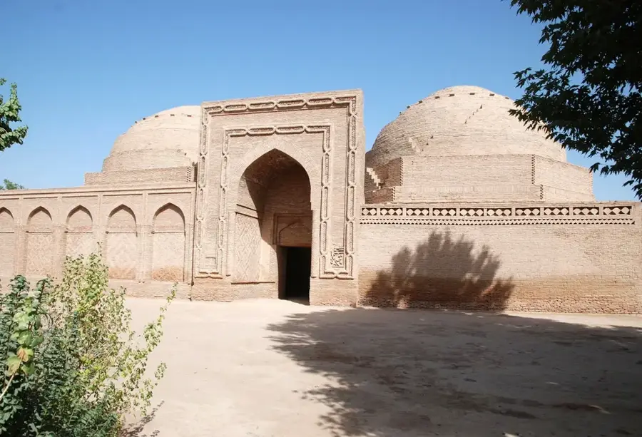
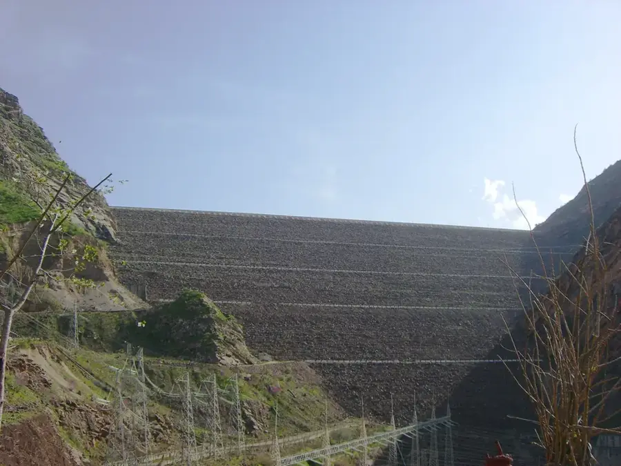
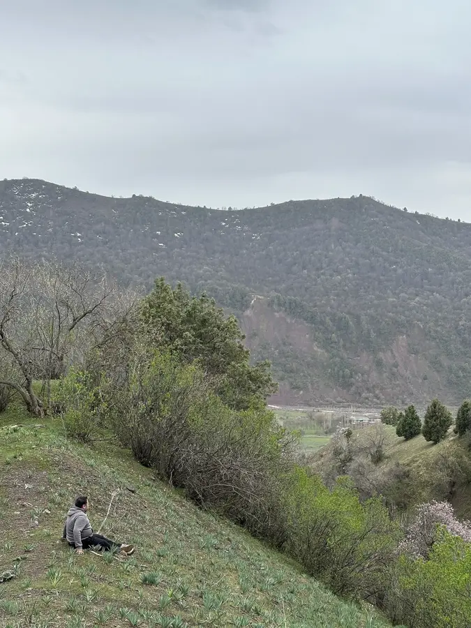
The Vakhsh River is one of Tajikistan's most important rivers, flowing through the south of the country. It rises in the Pamir Mountains and is about 786 kilometers long. Together with the Panj River, it forms the Amu Darya. The river is extensively used for irrigation, especially for cotton fields. Several hydroelectric plants, including the Nurek Dam, produce much of Tajikistan's electricity. Water flow varies greatly with seasons. Banks are densely populated, with cities like Kurgan-Tyube. The river hosts many fish species, including the endangered Amu Darya salmon. Environmental issues like salinization and erosion have resulted from intensive agriculture. The river plays a central role in Tajikistan's economy and culture. Historically, it was part of the Silk Road. The Vakhsh is a lifeline for the country's agriculture and energy production.
- Location: Tajikistan
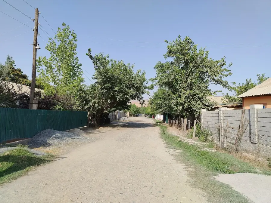
- Nearby: Shahrtuz (28 km)
Best time to visit & climate
The most pleasant time to visit is Apr, Sep, Oct.
| Jan | Feb | Mar | Apr | May | Jun | Jul | Aug | Sep | Oct | Nov | Dec | |
|---|---|---|---|---|---|---|---|---|---|---|---|---|
| Avg °C | 5 | 7 | 14 | 20 | 26 | 31 | 33 | 31 | 26 | 19 | 11 | 6 |
| Rain mm | 29 | 42 | 36 | 30 | 16 | 4 | 1 | 0 | 0 | 5 | 26 | 26 |
📋 Practical info
Geography
Facts
- Length: 786 km
- Catchment area: 39,000 km²
- Average discharge: 600 m³/s
- Hydroelectric potential: over 30,000 GWh/year
- Length of Nurek Dam: 700 m
- Cotton cultivation area along river: 250,000 hectares
Explore nearby
Notable places around
Route planner — Car & Motorhome
Where do you start? We build the route here, with stops and country notes along the way.
© OpenStreetMap contributors · OpenRouteService
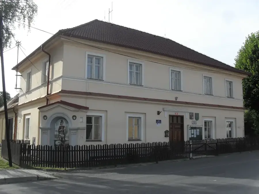
Sights in the town Vakhsh River (1)
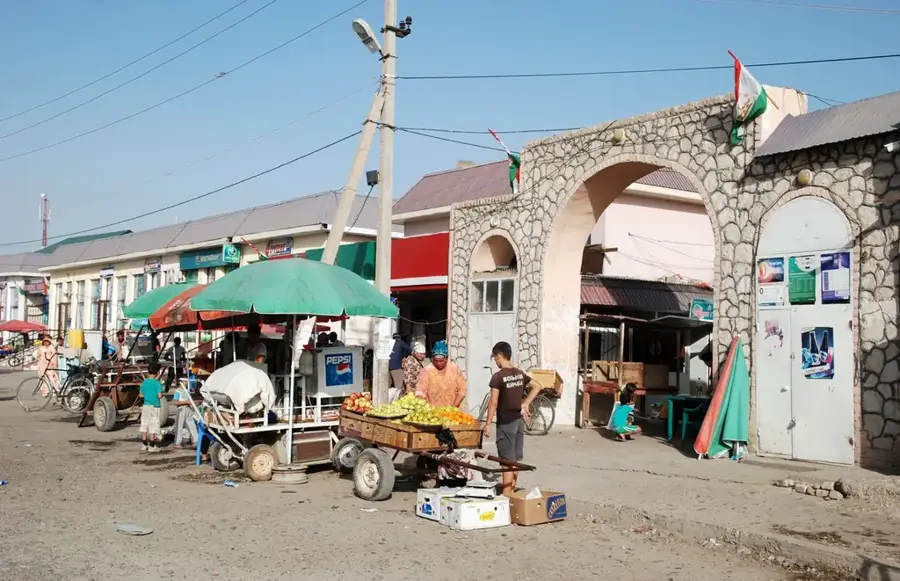
Sights nearby
Frequently asked questions
Is the Wachsch suitable for rafting?
Are there power plants on the river?
When is the water level highest?
Can the dams be visited?
Are there camping opportunities?
Vakhsh River: where is it located?
Vakhsh River: when is the best time to visit?
Vakhsh River: why is it worth visiting?

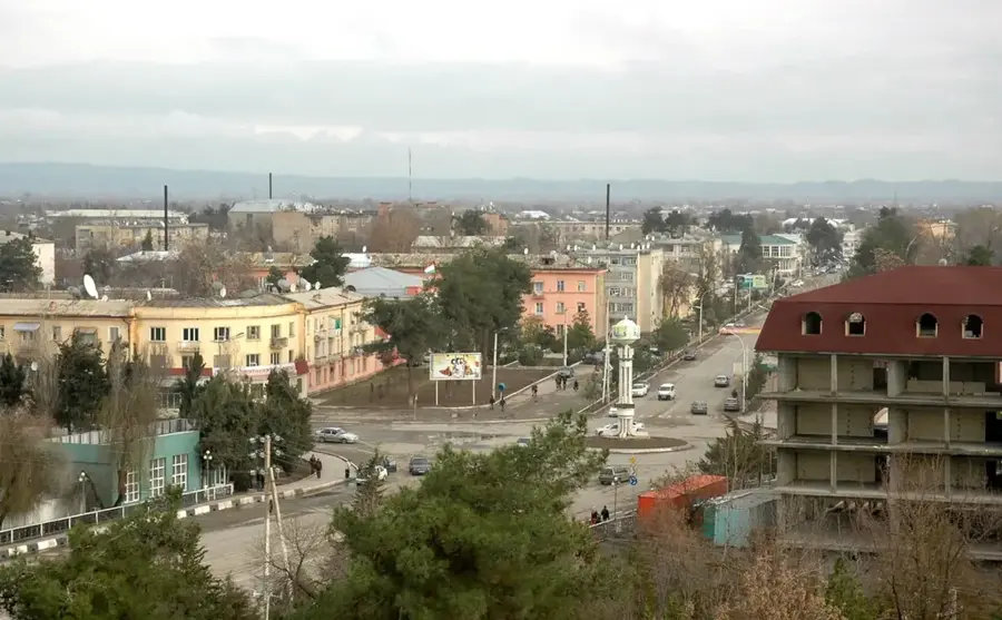
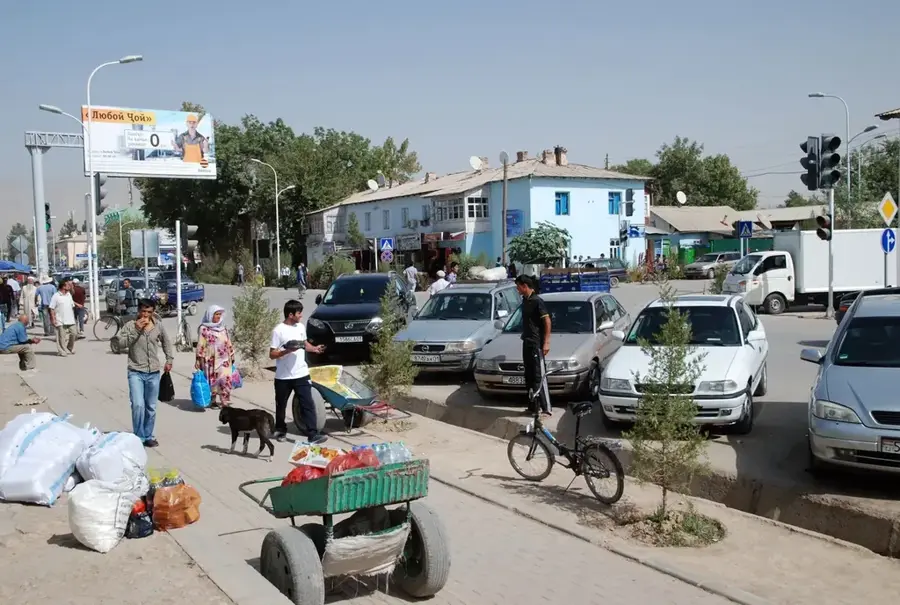
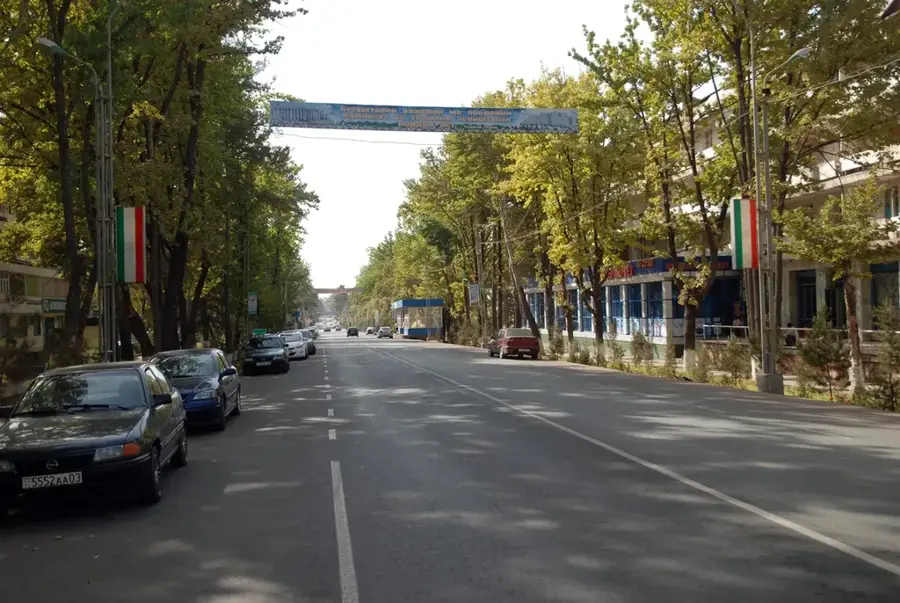
Nearby cities
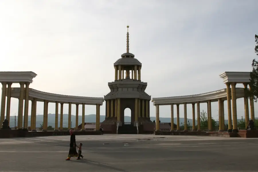

History & landmarks
Nature
More places