Plizio Visual Lab
Hauran Plateau

Weather…
Water temperature…
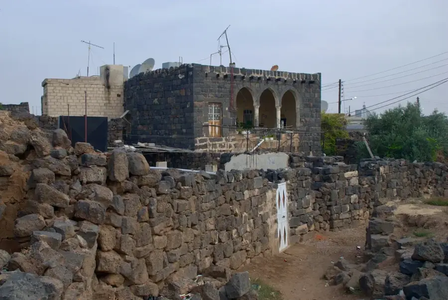
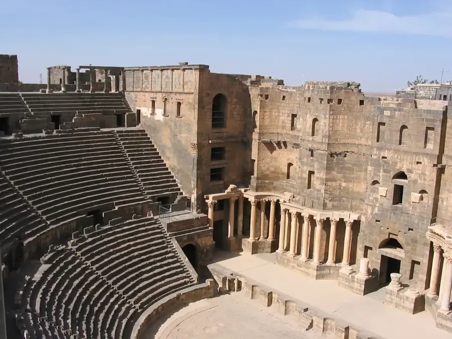
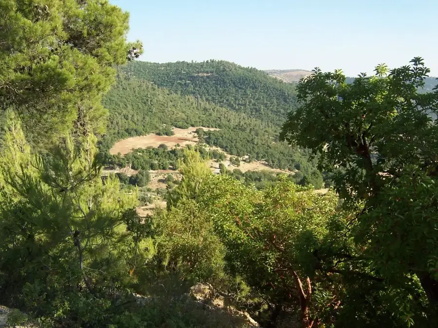
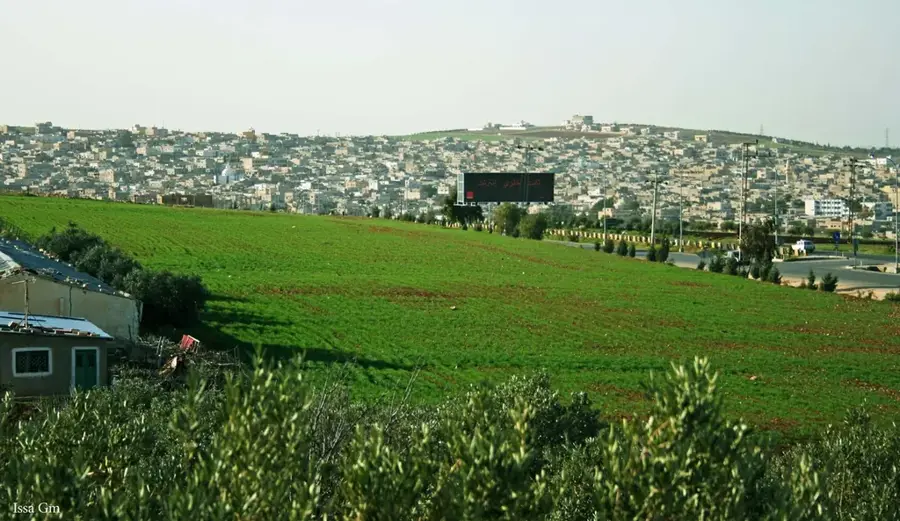
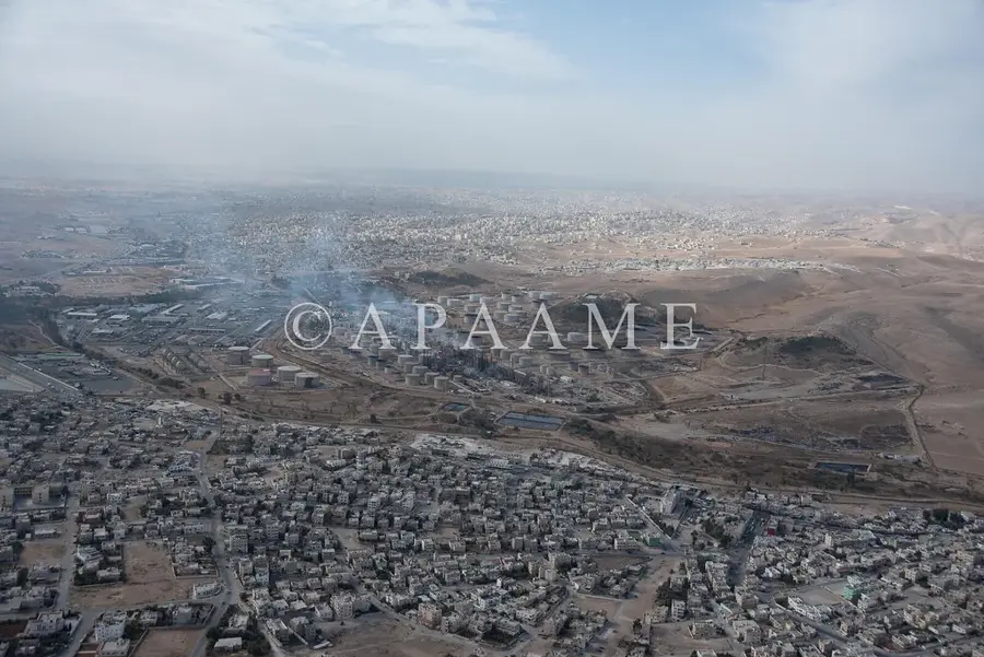
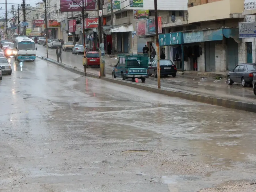
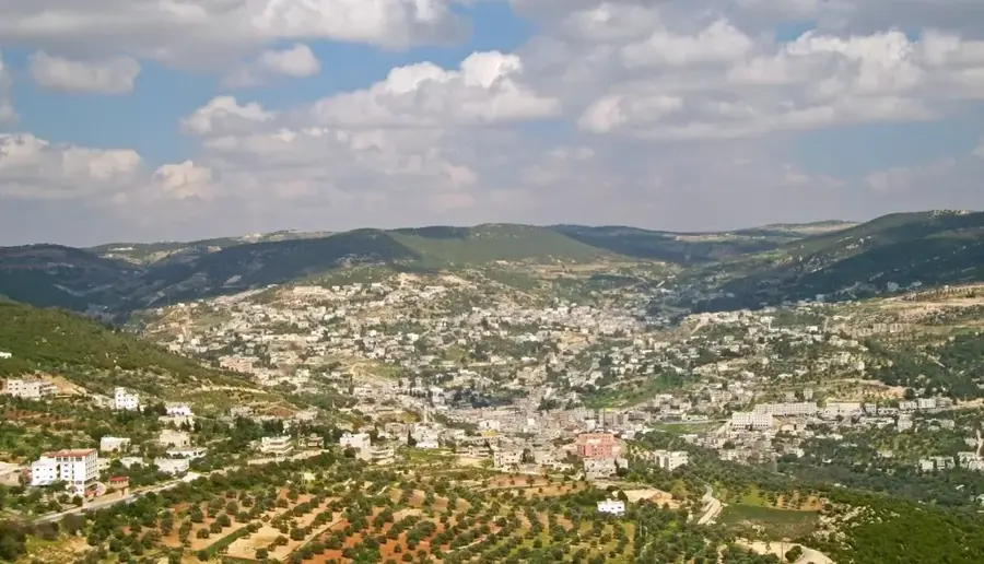
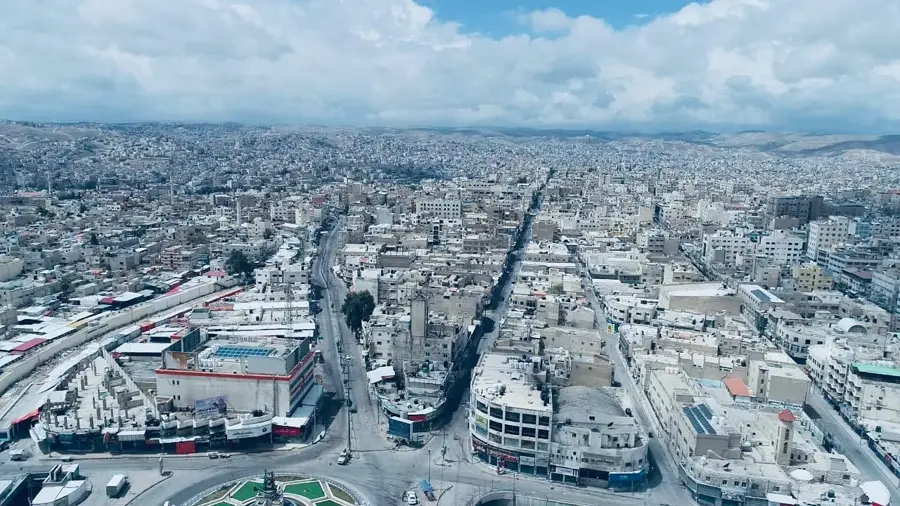
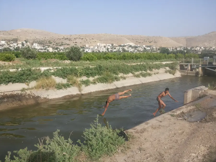
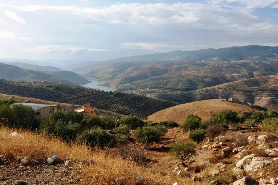
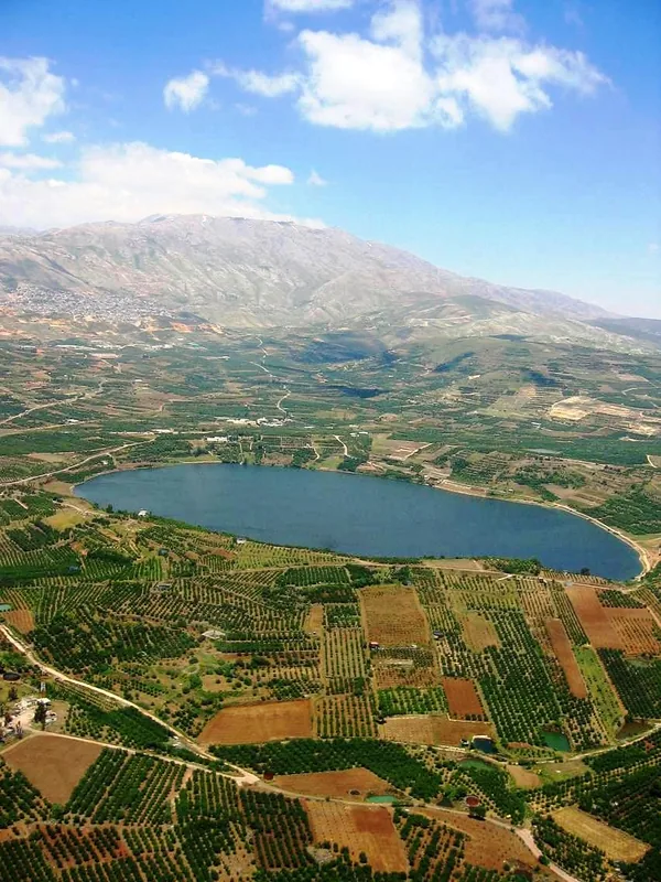
The Hauran Plateau is an expansive volcanic plain in southwestern Syria, extending across the border into northern Jordan. Geologically, the region is defined by massive basalt deposits resulting from volcanic activity during the Tertiary and Quaternary periods. The weathering of this basalt has produced exceptionally fertile soils, earning the Hauran the reputation of being Syria's 'granary' since ancient times. The plateau sits at an average elevation of 600 to 900 meters and is bordered to the east by the Jabal al-Druze mountain range. Historically, the region was a densely populated province of the Roman Empire, evidenced by remarkable archaeological sites like Bosra, which were constructed almost entirely from local black basalt. Today, the Hauran remains a critical agricultural zone for wheat and barley production. Its semi-arid climate is mitigated by winter rainfall, allowing for intensive farming despite the lack of major permanent rivers.
- Location: Syria
- Nearby: Daraa (14 km)
Best time to visit & climate
The most pleasant time to visit is May, Sep, Oct.
| Jan | Feb | Mar | Apr | May | Jun | Jul | Aug | Sep | Oct | Nov | Dec | |
|---|---|---|---|---|---|---|---|---|---|---|---|---|
| Avg °C | 8 | 9 | 13 | 17 | 22 | 26 | 28 | 28 | 26 | 22 | 15 | 10 |
| Rain mm | 61 | 54 | 28 | 16 | 6 | 1 | 0 | 1 | 1 | 10 | 29 | 52 |
📋 Practical info
Geography
Facts
- The Hauran Plateau covers an area of more than 10,000 square kilometers.
- Geologically, the surface is formed by lava flows that can reach 1,000 meters in thickness.
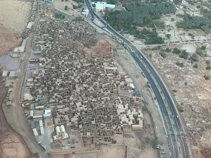
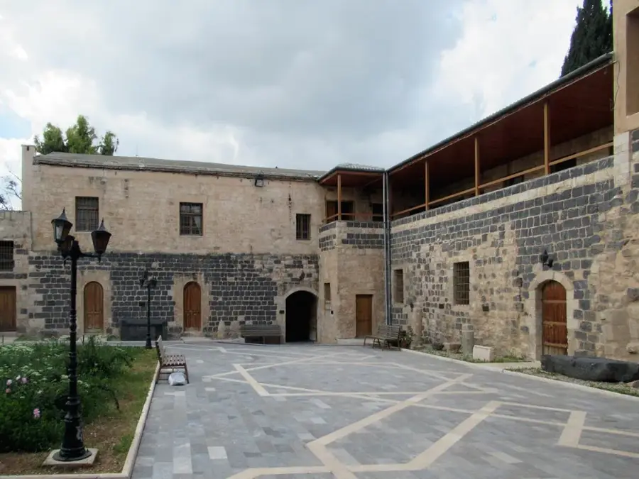
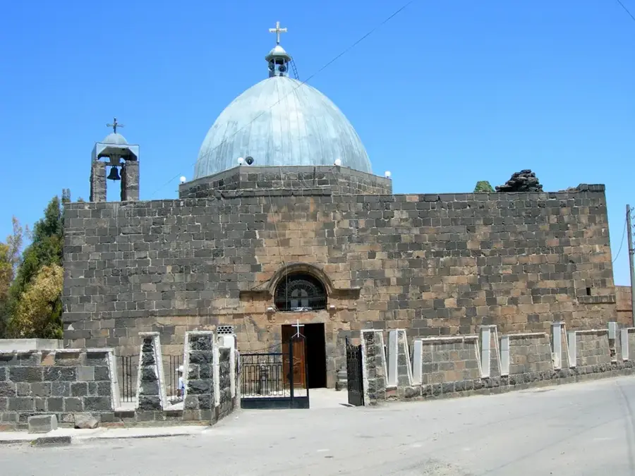
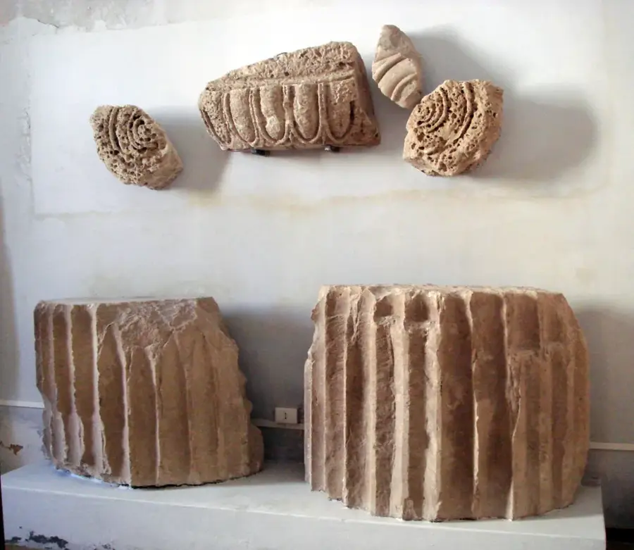
- The ancient city of Bosra, a UNESCO World Heritage site, is located in the Hauran.
- During the Roman era, the plateau supplied grain to the entire province of Arabia.
- The characteristic black basalt is the primary building material for historical architecture.
- The region receives an average of 250 to 400 mm of rainfall per year.
Explore nearby
Notable places around
Route planner — Car & Motorhome
Where do you start? We build the route here, with stops and country notes along the way.
© OpenStreetMap contributors · OpenRouteService
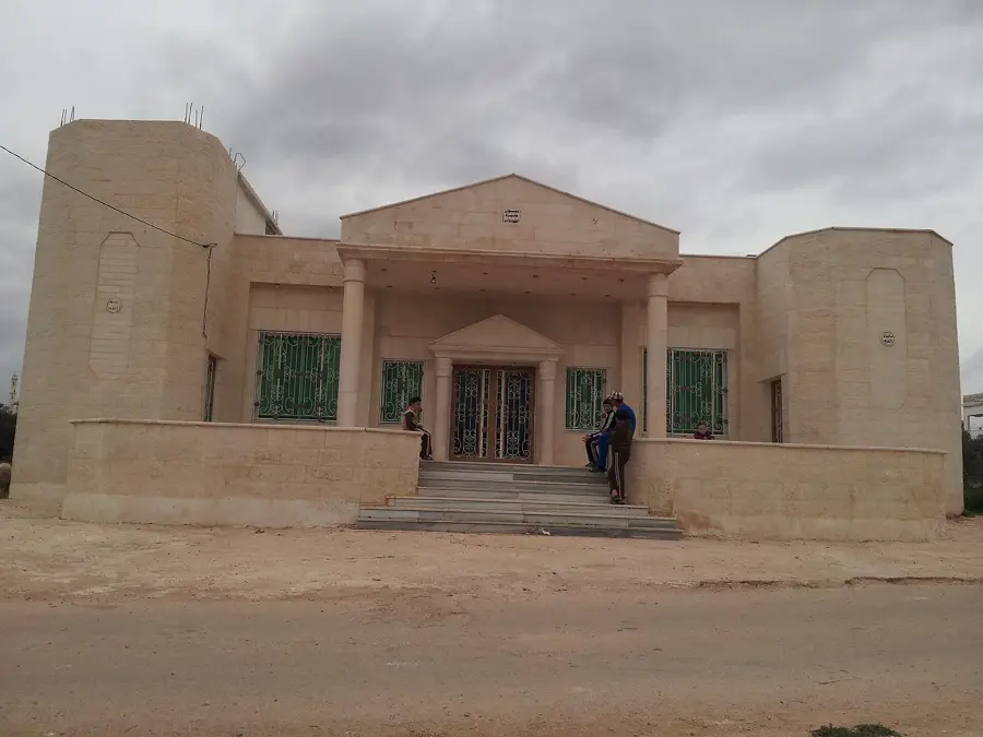
Sights in the town Hauran Plateau (1)
Sights nearby
Frequently asked questions
What characterizes the Hauran plateau?
Can you travel through the area?
When is it greenest?
Is it developed for tourism?
Are there sights?
Hauran Plateau: where is it located?
Hauran Plateau: when is the best time to visit?
Hauran Plateau: why is it worth visiting?

Nearby cities
History & landmarks
Nature
More places