Plizio Visual Lab
Quneitra
ℹ️Practical info — Quneitra
▾
🌤 Weather — 5 days
📍 Nearby
Sights nearby
💡 Tips
- You must obtain a special military permit from Damascus before attempting to visit the ruins of the old city.
- Stay strictly on the marked paths as there is still a risk of landmines in the surrounding fields.
- Bring your own water and snacks, as there are no functioning shops or facilities within the ruins.
- Photography of military checkpoints or personnel is strictly forbidden and can lead to trouble.
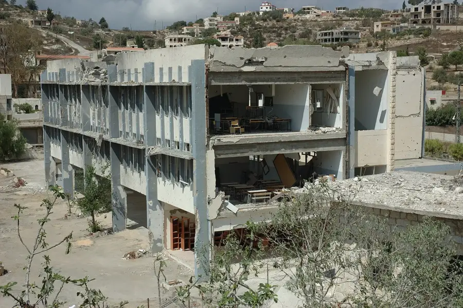
- Visit the destroyed hospital to fully understand the scale of destruction and the city's history.
🍽 Food
Look for small stalls in the nearby inhabited villages where this thin bread is baked fresh on a dome grill.
Local beekeepers in the region often sell pure honey along the access roads to Quneitra.
The region is famous for its olives; buy them directly from farmers in the neighboring settlements.
🛍 Shopping · 🧘 Quiet spots
In the surrounding villages, women often make traditional wicker baskets sold at local markets.
Look for hand-embroidered scarves and fabrics made by local women's cooperatives in the region.
A place of profound silence and reflection within the destroyed city limits.
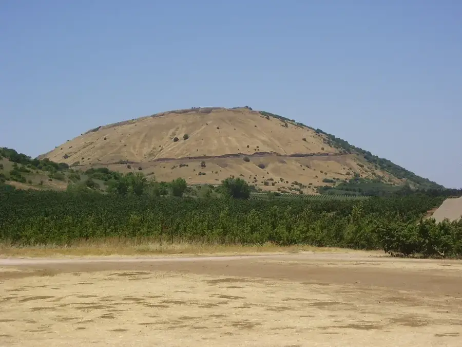
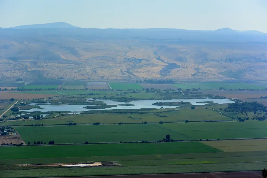
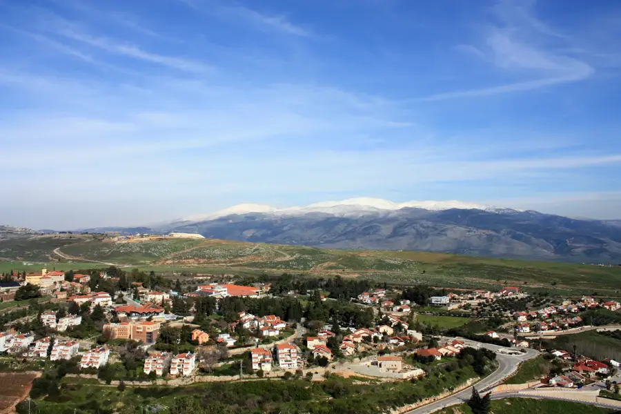
Offer a vast and often solitary view over the Golan Heights plateau.
Water temperature…
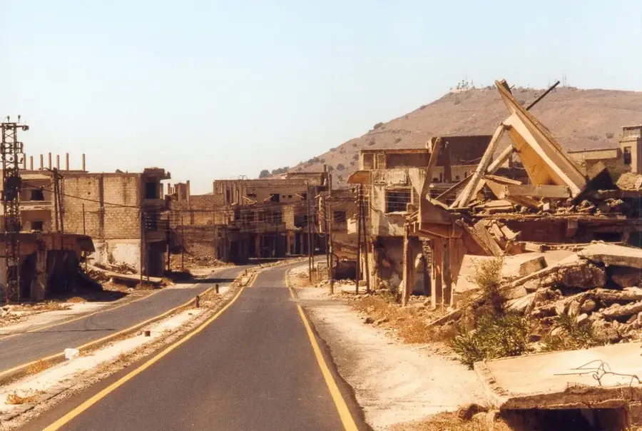
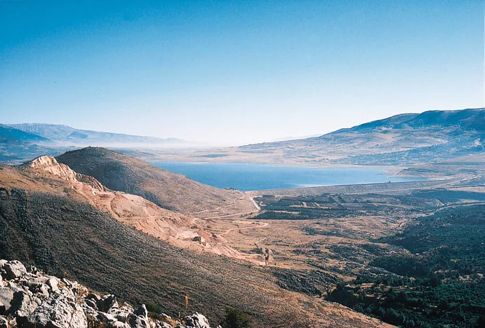
Quneitra lies in southern Syria on the western edge of the Golan Heights, the plateau occupied and partly annexed by Israel since 1967, and it was once the capital of the governorate of the same name. Before 1967 the city had several tens of thousands of inhabitants and served as an important agricultural and administrative center for southwestern Syria. It came under Israeli control during the Six-Day War, was heavily fought over in the 1973 Yom Kippur War and was systematically destroyed before the Israeli withdrawal in 1974. Since then the ruins have stood largely as the city was left, and they are treated as a memorial. A UN buffer zone (UNDOF) separates Syrian and Israeli lines, and part of the governorate lies beyond this line. Quneitra is today almost uninhabited, and administrative life has moved to nearby Khan Arnabeh.
- Location: Syria
- Top sights: Quneitra Ronen · Syrian Intelligence HQ · Khirbat el Makhfi
- Nearby: Daraa (55 km)
- Population: ~36.143 (2026)
Best time to visit & climate
The most pleasant time to visit is May, Sep, Oct.
| Jan | Feb | Mar | Apr | May | Jun | Jul | Aug | Sep | Oct | Nov | Dec | |
|---|---|---|---|---|---|---|---|---|---|---|---|---|
| Avg °C | 8 | 9 | 13 | 17 | 22 | 26 | 28 | 28 | 26 | 22 | 15 | 10 |
| Rain mm | 61 | 54 | 28 | 16 | 6 | 1 | 0 | 1 | 1 | 10 | 29 | 52 |
Geography
Facts
- Quneitra is located on a strategic route about 67 kilometers southwest of Damascus.
- The city was returned to Syria in 1974 following the Disengagement Observer Force Agreement.
- The UN Disengagement Observer Force (UNDOF) maintains its headquarters near the town.
- Before 1967, the population of Quneitra was estimated at around 20,000 people.
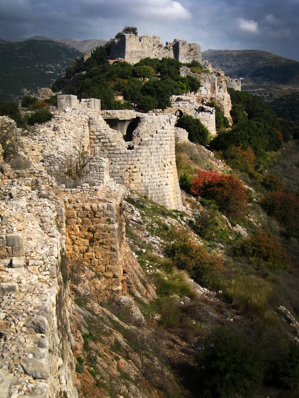
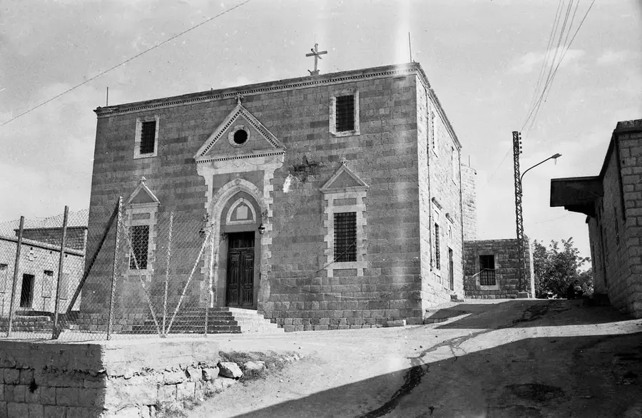
- The ruins of the Greek Orthodox church are among the most prominent remaining structures.
- The city is situated immediately to the east of the 1974 ceasefire line.
Explore nearby
Notable places around
Route planner — Car & Motorhome
Where do you start? We build the route here, with stops and country notes along the way.
© OpenStreetMap contributors · OpenRouteService
Sights in the town Quneitra (4)
Frequently asked questions
Why is Quneitra a ghost town?
Can one visit Quneitra?
What can one see there?
Is photography allowed?
What is the best preparation?
Quneitra: where is it located?
Quneitra: what is there to see?
Quneitra: when is the best time to visit?
Quneitra: why is it worth visiting?

Nearby cities
History & landmarks
Nature

More places