Plizio Visual Lab
Zarqa River
Weather…
Water temperature…
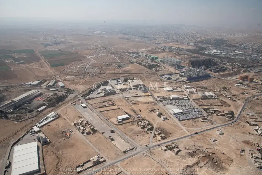
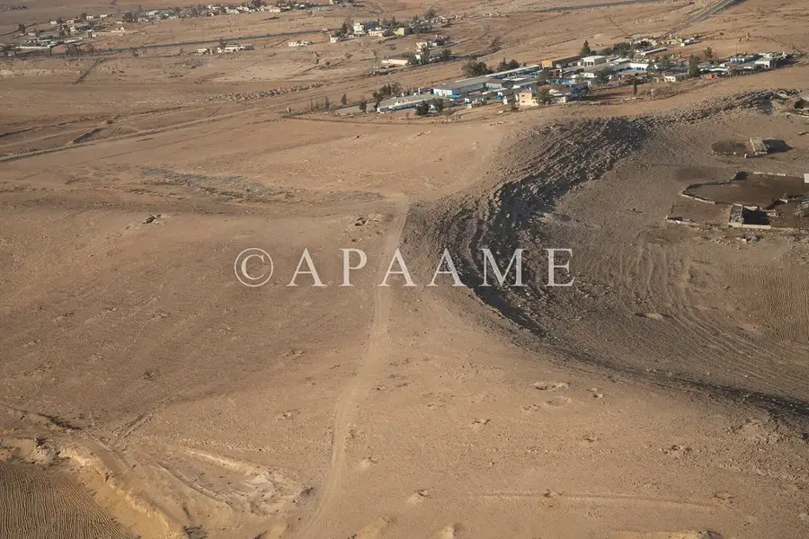
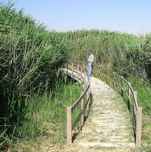
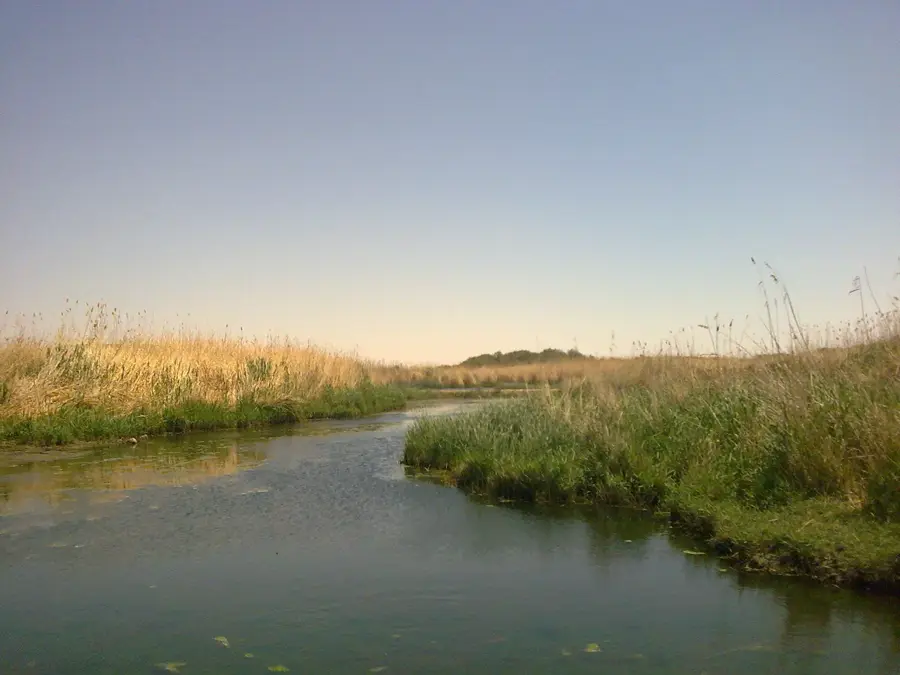
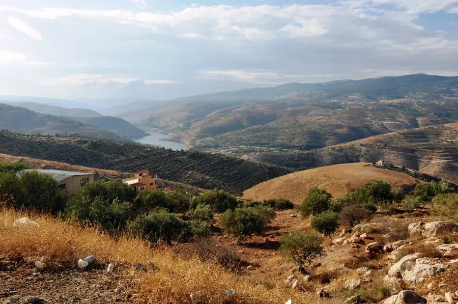
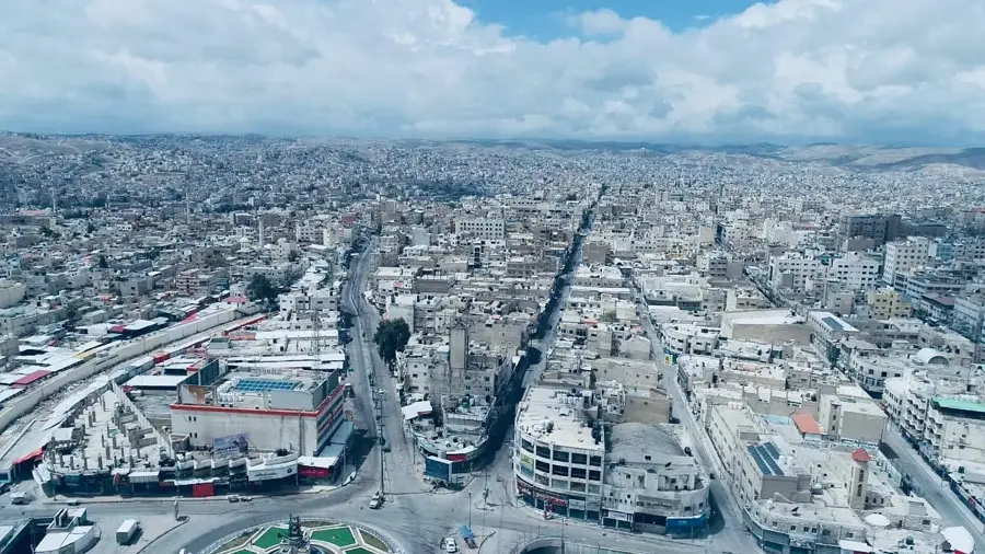
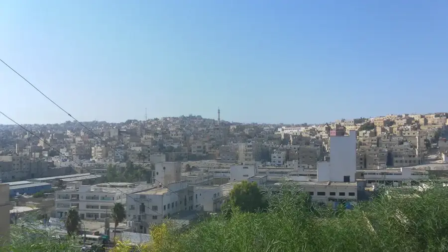
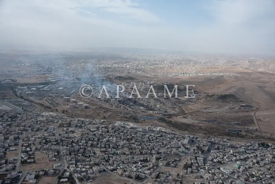
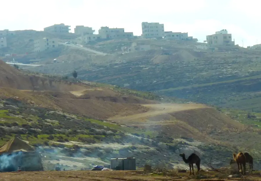
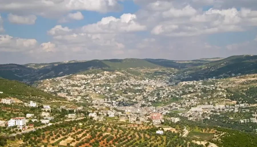
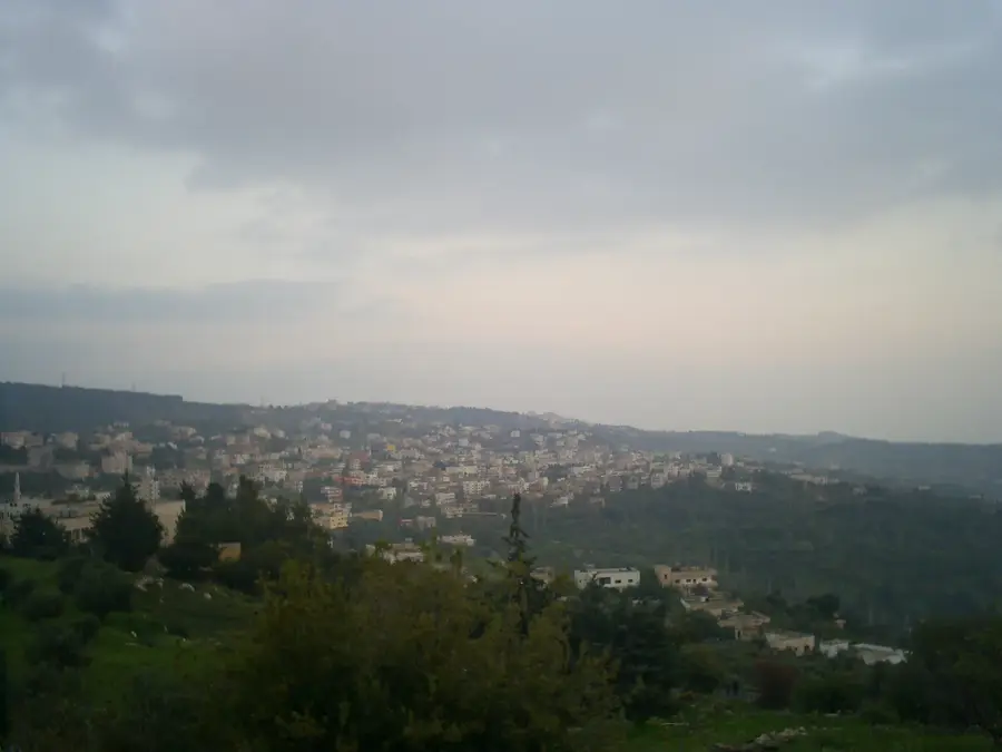
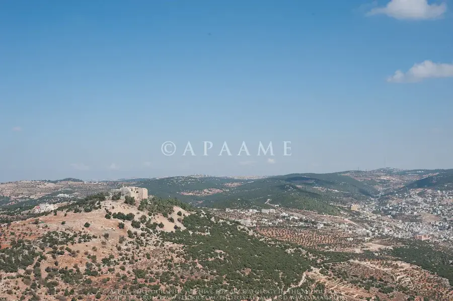
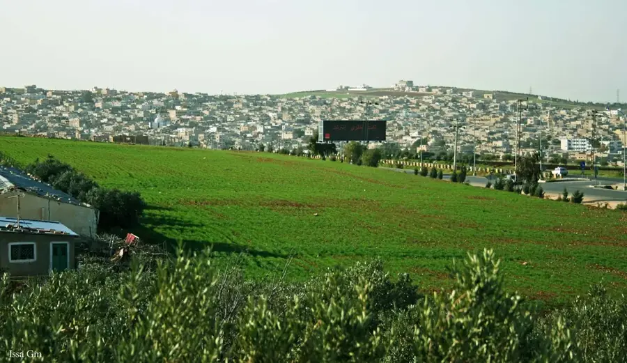
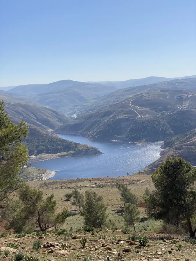
The Zarqa River is the second largest tributary of the Jordan River, flowing through some of Jordan's most industrial and densely populated areas. It originates near Amman at the Ain Ghazal spring and travels about 105 kilometers before discharging into the Jordan Valley. In ancient times, the river was known as the Jabbok, cited in the Bible as the location where Jacob wrestled with an angel before meeting Esau. Today, the river is a critical resource but faces severe environmental challenges due to urban and industrial runoff from the cities of Amman and Zarqa. The construction of the King Talal Dam in 1977 was a pivotal development for regulating flow and providing irrigation for downstream agriculture. Despite pollution, the river valley is geologically rich and contains important Neolithic archaeological remains.
- Location: Jordan
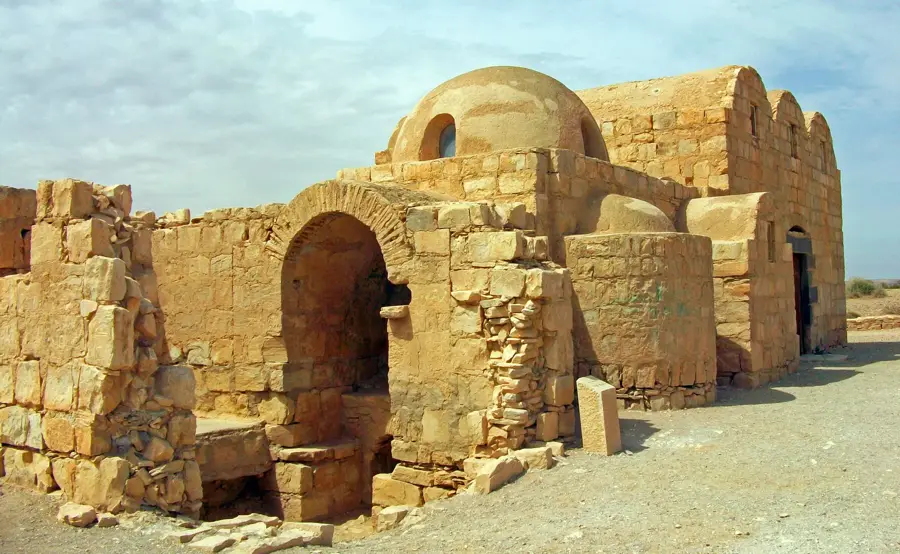
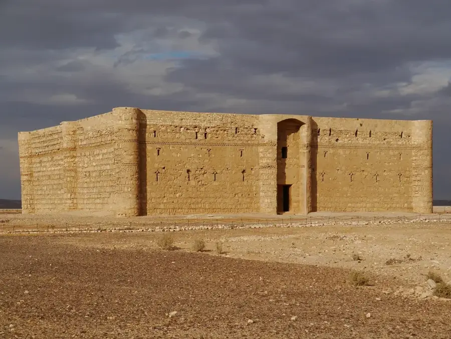
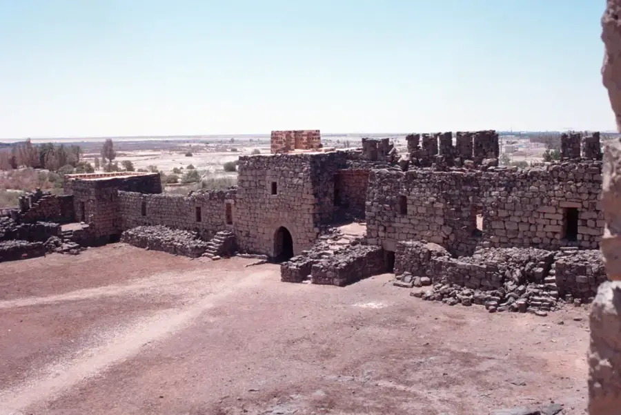
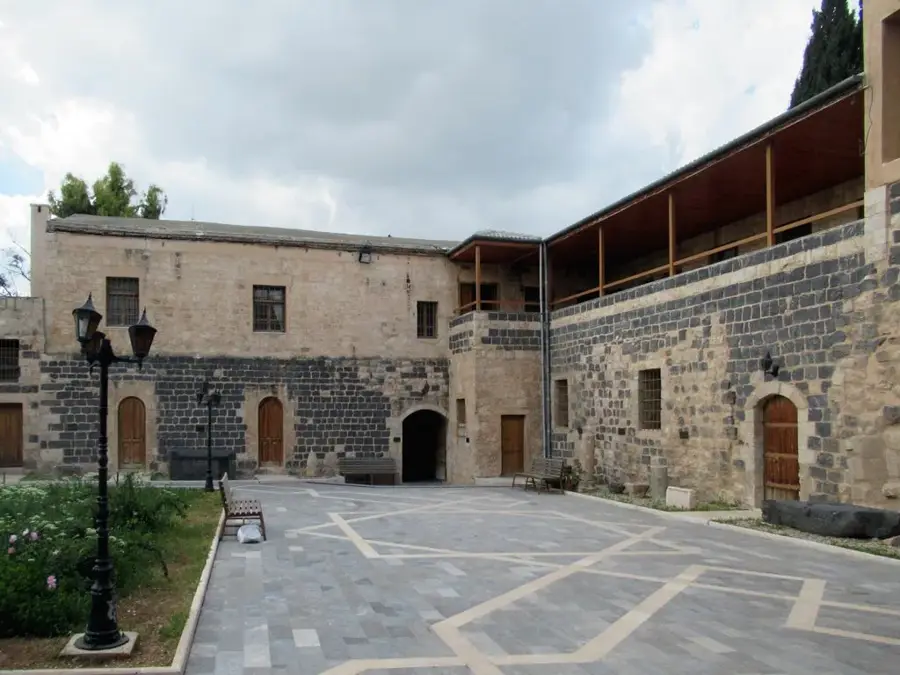
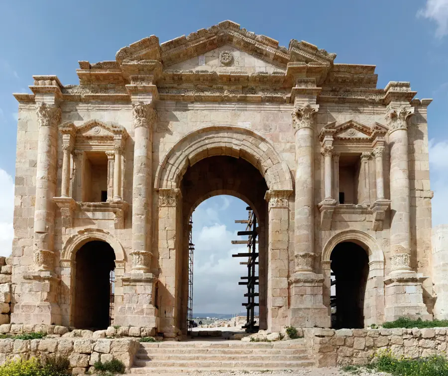
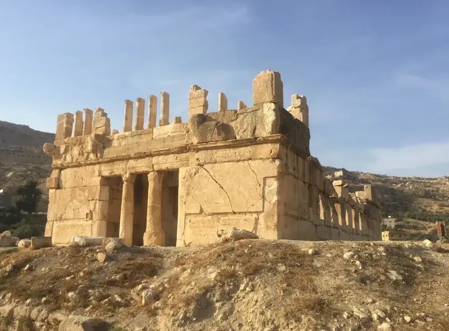
- Top sights: Aneiba · Rujm Um Zurur · Dolmen field
- Nearby: Ain Basha (16 km)
Best time to visit & climate
The most pleasant time to visit is May, Sep, Oct.
| Jan | Feb | Mar | Apr | May | Jun | Jul | Aug | Sep | Oct | Nov | Dec | |
|---|---|---|---|---|---|---|---|---|---|---|---|---|
| Avg °C | 8 | 9 | 13 | 17 | 21 | 25 | 27 | 27 | 25 | 21 | 14 | 9 |
| Rain mm | 44 | 43 | 23 | 11 | 4 | 1 | 1 | 1 | 1 | 6 | 18 | 35 |
📋 Practical info
Geography
Facts
- In antiquity, the river was widely known as the Jabbok.
- The total length of the river is roughly 105 kilometers.
- The King Talal Dam was completed on the river in 1977.
- The river originates from the Ain Ghazal spring in Amman.
- Its drainage basin covers approximately 3,900 square kilometers.
- The river provides crucial water for Jordan Valley agriculture.
Explore nearby
Notable places around
Route planner — Car & Motorhome
Where do you start? We build the route here, with stops and country notes along the way.
© OpenStreetMap contributors · OpenRouteService
Sights in the town Zarqa River (4)
Sights nearby
Frequently asked questions
What characterizes the Zarqa River?
What can you see near the river?
Is the water clean?
Can you walk along the river?
When is the best time for a trip there?
Zarqa River: where is it located?
Zarqa River: what is there to see?
Zarqa River: when is the best time to visit?
Zarqa River: why is it worth visiting?

Nearby cities
History & landmarks
Nature
More places