Plizio Visual Lab
Al-Lajat
Weather…
Water temperature…
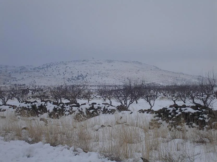
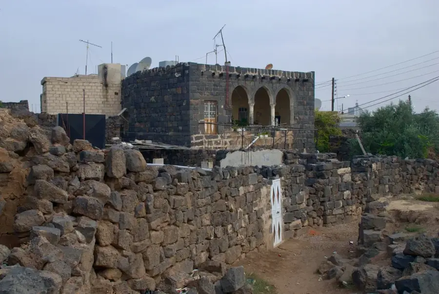
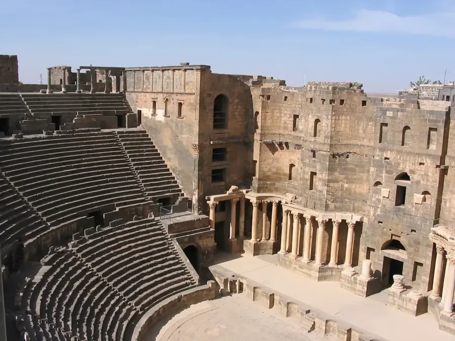
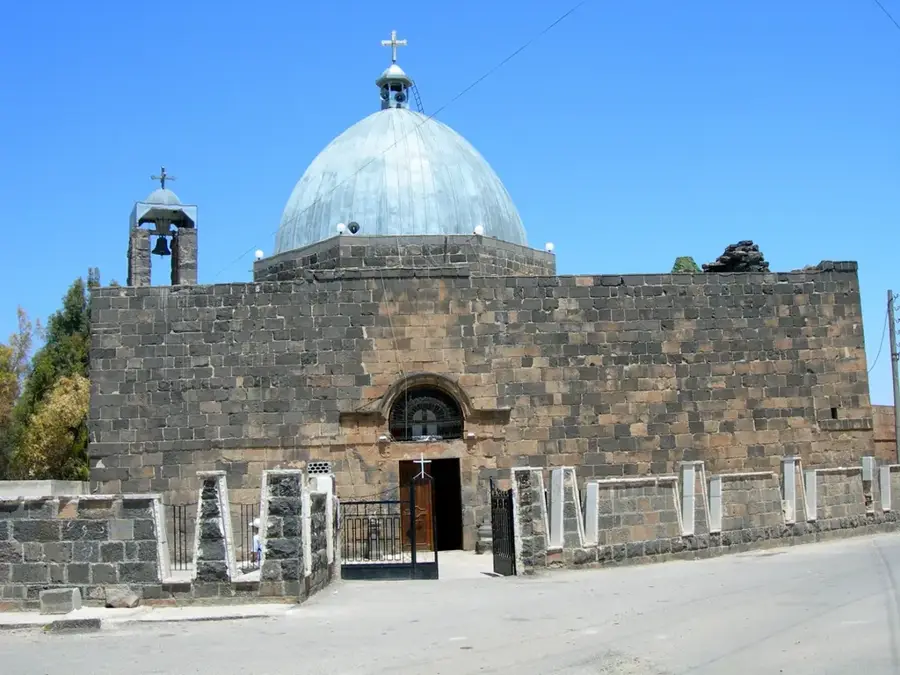
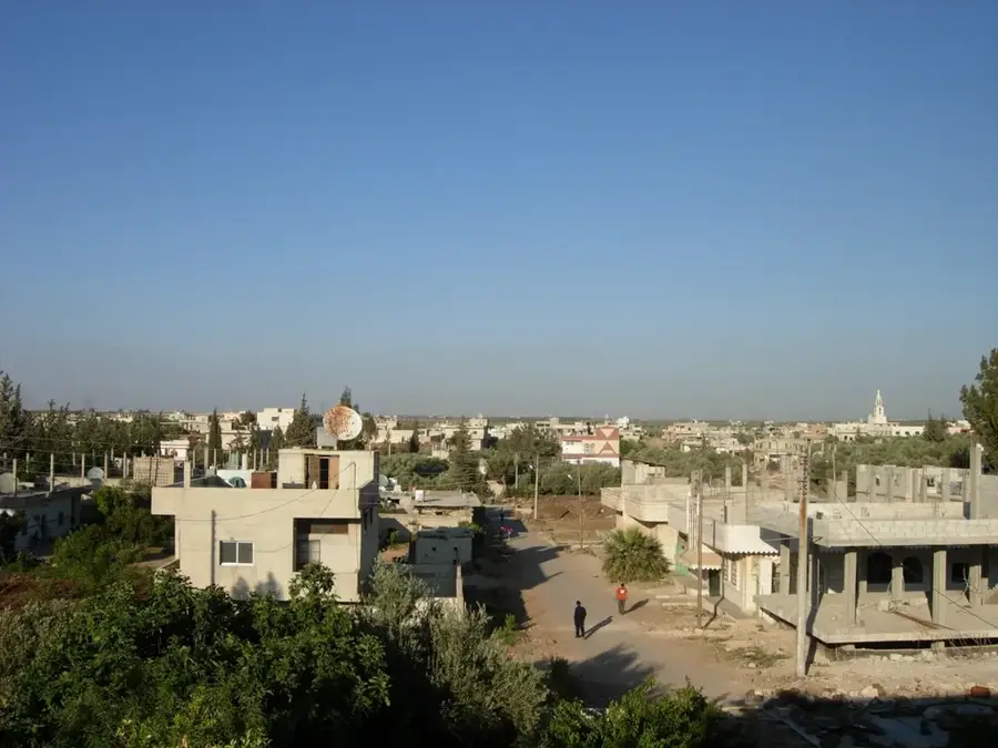
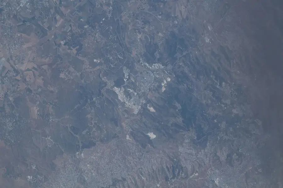
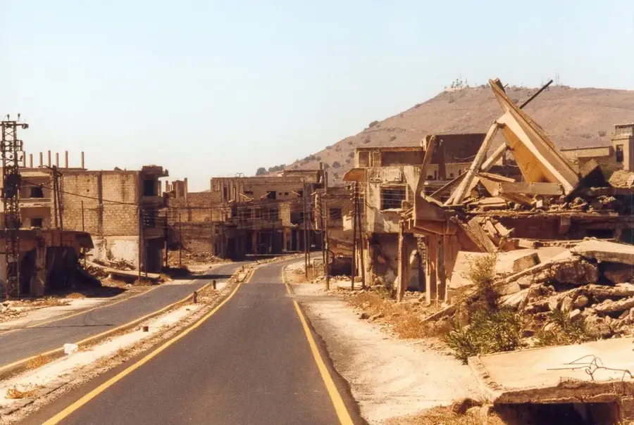
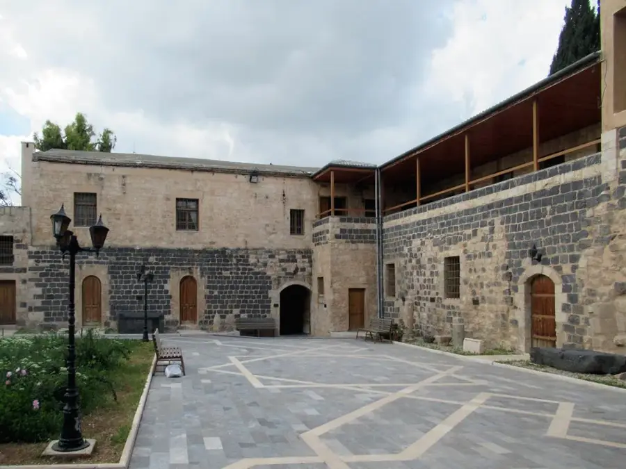
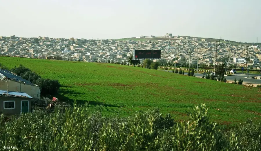
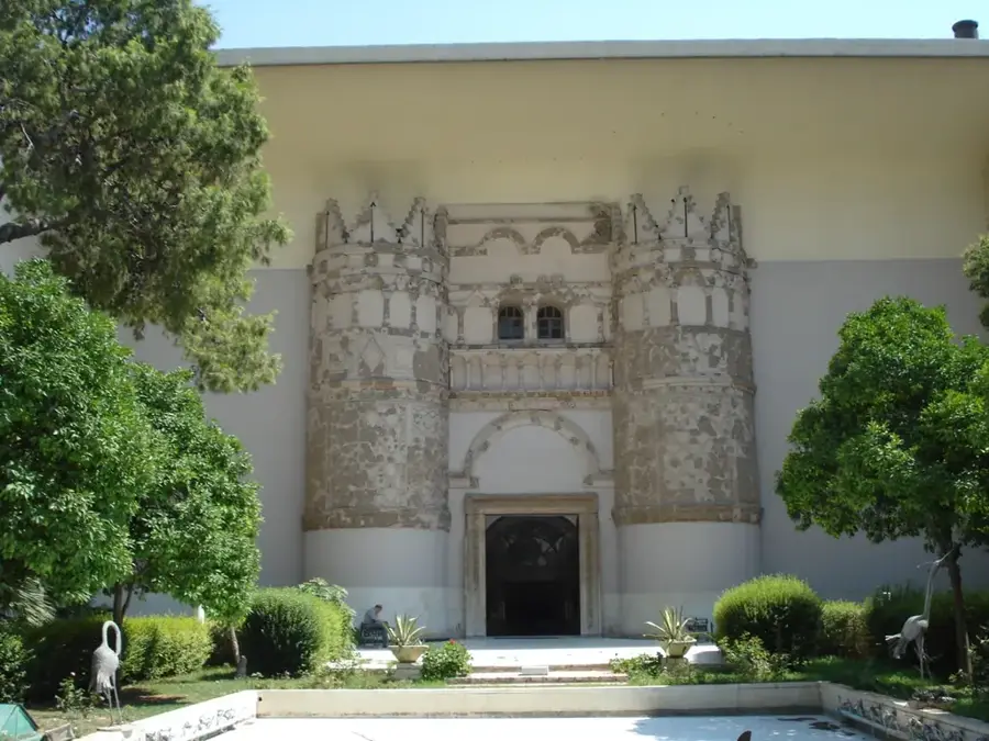
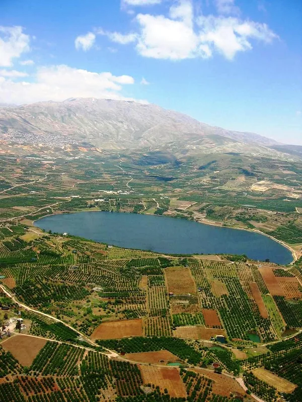
Al-Lajat is a unique volcanic plateau in southwestern Syria, stretching north of the Jabal al-Druze mountain range. Geologically, it consists of a solidified mass of lava that erupted between 2 and 5 million years ago, creating an extremely rugged and sharp-edged surface of black basalt. Because of this impassable topography, Al-Lajat is often referred to as a 'natural fortress' and has served as an impregnable hideout for rebels and refugees since ancient times. Despite its barren appearance, the plateau supports surprising biodiversity and was designated as Syria's first Biosphere Reserve in 2009. Historically, the region is closely tied to the ancient kingdoms of the Itureans and Nabataeans, with sites like Shahba showcasing Roman-era basalt architecture. Local residents utilize small fertile pockets between the rocks for subsistence farming and grazing, while relying on ancient cisterns to collect and store precious rainwater.
- Location: Syria
- Top sights: Kawm ar Rumman · Zebire · Burj Janin
- Nearby: As-Suwayda (32 km)
Best time to visit & climate
The most pleasant time to visit is May, Sep, Oct.
| Jan | Feb | Mar | Apr | May | Jun | Jul | Aug | Sep | Oct | Nov | Dec | |
|---|---|---|---|---|---|---|---|---|---|---|---|---|
| Avg °C | 8 | 9 | 13 | 17 | 22 | 26 | 28 | 28 | 26 | 22 | 15 | 10 |
| Rain mm | 61 | 54 | 28 | 16 | 6 | 1 | 0 | 1 | 1 | 10 | 29 | 52 |
📋 Practical info
Geography
Facts
- Al-Lajat covers an area of approximately 900 square kilometers.
- The plateau was designated as a UNESCO Biosphere Reserve in 2009.
- The average elevation of the plateau is between 600 and 700 meters.
- In Arabic, 'Al-Lajat' translates roughly to 'place of refuge'.
- During the Roman era, the region was officially known as 'Trachonitis'.
- The basalt formations are sometimes so sharp that they can cut through footwear.
Explore nearby
Notable places around
Route planner — Car & Motorhome
Where do you start? We build the route here, with stops and country notes along the way.
© OpenStreetMap contributors · OpenRouteService
Sights in the town Al-Lajat (5)
Sights nearby
Frequently asked questions
What is the terrain like in Al-Ladscha?
Is it easily accessible for tourists?
Are there ruins there?
What is the safest way to visit?
Are there accommodations?
Al-Lajat: where is it located?
Al-Lajat: what is there to see?
Al-Lajat: when is the best time to visit?
Al-Lajat: why is it worth visiting?

Nearby cities
History & landmarks
Nature
More places