Plizio Visual Lab
Yarmouk River
Weather…
Water temperature…
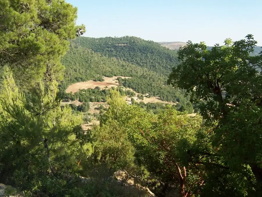
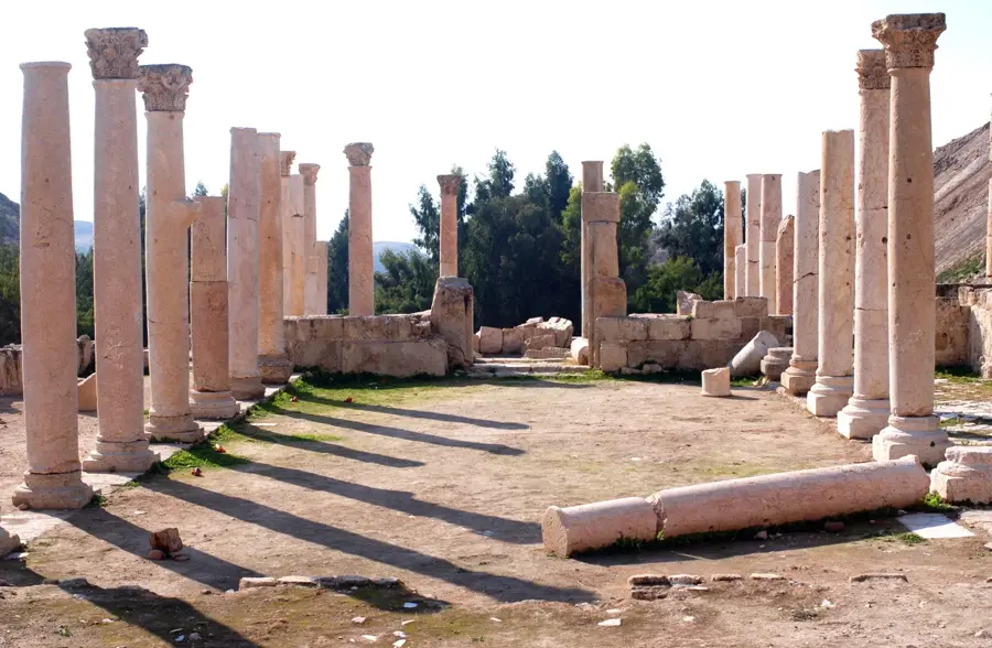
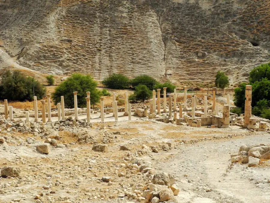
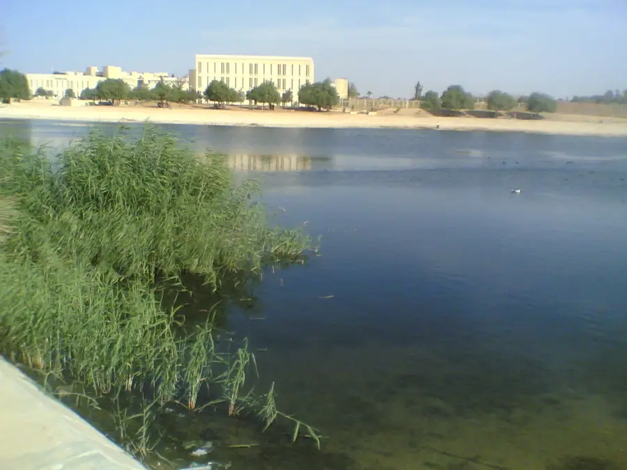
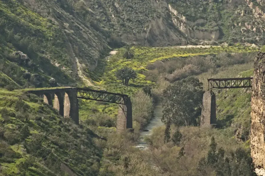
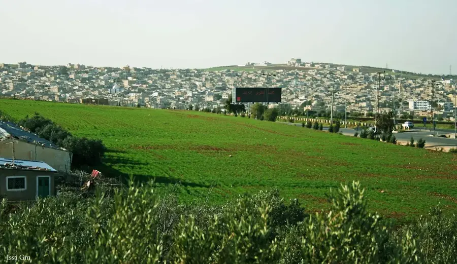
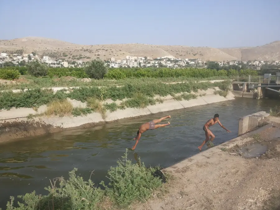
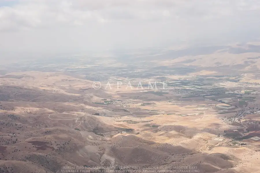
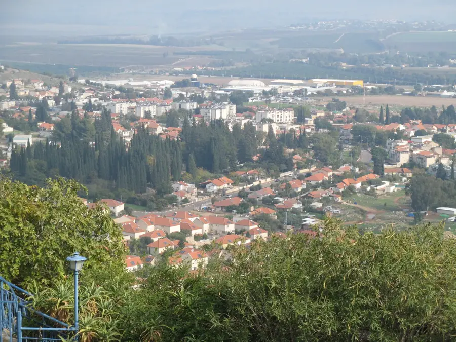
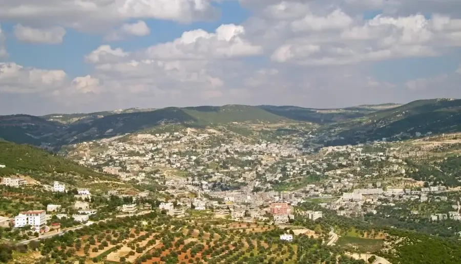
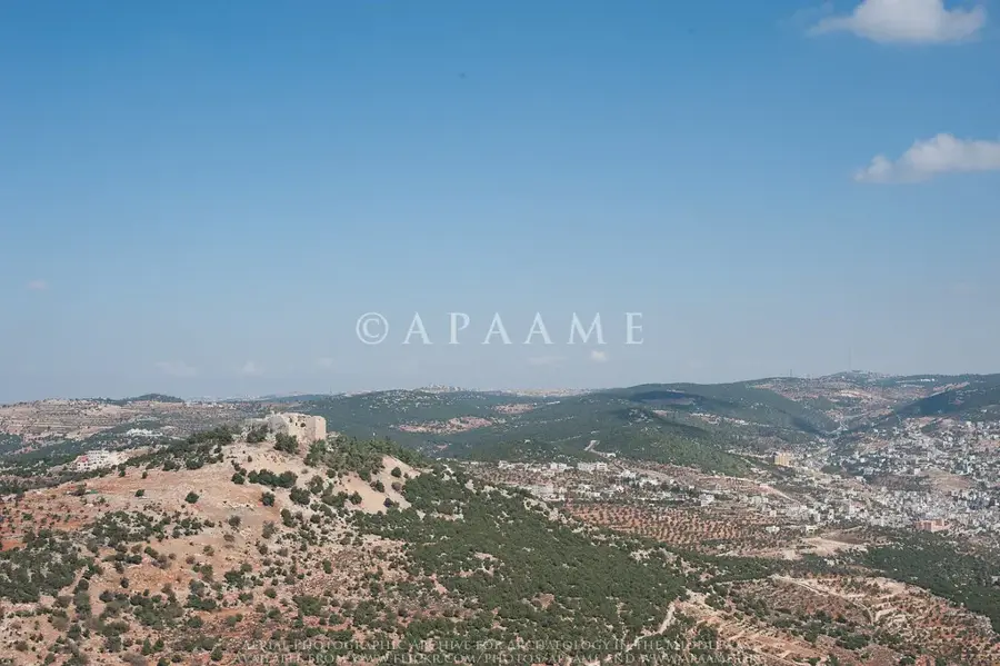
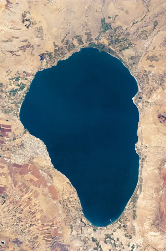
The Yarmouk River is the largest tributary of the Jordan River, serving as a natural border between Jordan, Syria, and Israel. Originating in the Hauran plateau of Syria, it flows for approximately 80 kilometers before joining the Jordan south of the Sea of Galilee. Historically, the river valley is most famous for the Battle of Yarmouk in 636 AD, where Muslim Arab forces achieved a decisive victory over the Byzantine Empire, paving the way for the Islamic conquest of the Levant. Geographically, the river separates the highlands of Gilead to the south from the Golan Heights to the north. Its waters are vital for regional irrigation and agriculture, though distribution remains a subject of intense international negotiation. The river's ecosystem supports diverse vegetation such as oleanders and reeds, and it acts as a crucial corridor for migratory birds.
- Location: Jordan
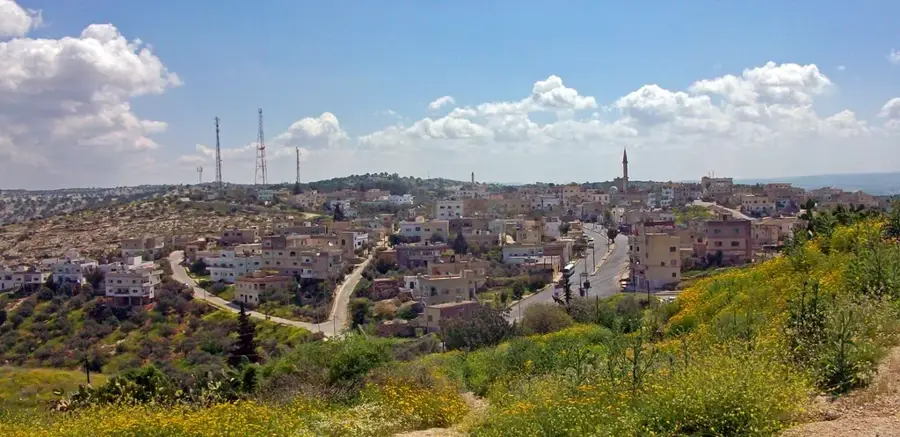
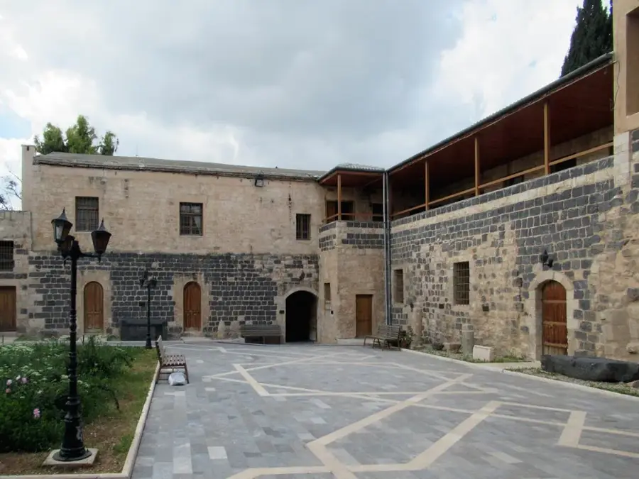
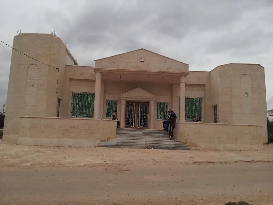
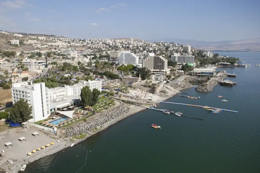
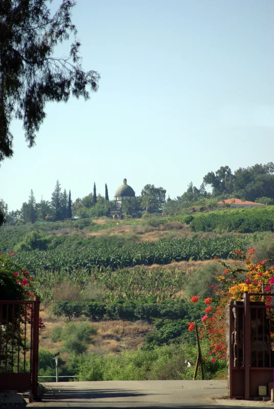
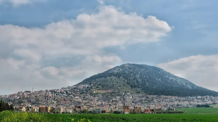
- Top sights: Ein Sharir · Mitzpe Kinneret · Ein Aqov
- Nearby: Ash-Shunah ash-Shamaliyah (11 km)
Best time to visit & climate
The most pleasant time to visit is Apr, May, Oct.
| Jan | Feb | Mar | Apr | May | Jun | Jul | Aug | Sep | Oct | Nov | Dec | |
|---|---|---|---|---|---|---|---|---|---|---|---|---|
| Avg °C | 11 | 12 | 15 | 19 | 23 | 27 | 29 | 29 | 27 | 24 | 18 | 13 |
| Rain mm | 93 | 79 | 40 | 20 | 6 | 1 | 0 | 1 | 2 | 12 | 40 | 79 |
📋 Practical info
Geography
Facts
- The river forms the boundary between Jordan and the Golan Heights.
- The Battle of Yarmouk took place in August 636 AD.
- The total length of the river is approximately 80 kilometers.
- The Al-Wehda Dam was completed in 2011 to regulate water flow.
- Parts of the river valley lie below sea level.
- It is the primary water source for the King Abdullah Canal.
Explore nearby
Notable places around
Route planner — Car & Motorhome
Where do you start? We build the route here, with stops and country notes along the way.
© OpenStreetMap contributors · OpenRouteService
Sights in the town Yarmouk River (11)
Sights nearby
Frequently asked questions
What is the Yarmouk River?
Is it accessible to tourists?
What is the landscape like there?
What can be found near the river?
Is the area mostly quiet?
Yarmouk River: where is it located?
Yarmouk River: what is there to see?
Yarmouk River: when is the best time to visit?
Yarmouk River: why is it worth visiting?

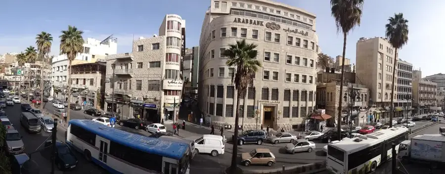
Nearby cities
History & landmarks
Nature
More places