Plizio Visual Lab
Burhakaba

ℹ️Practical info — Burhakaba
▾
🌤 Weather — 5 days
📍 Nearby
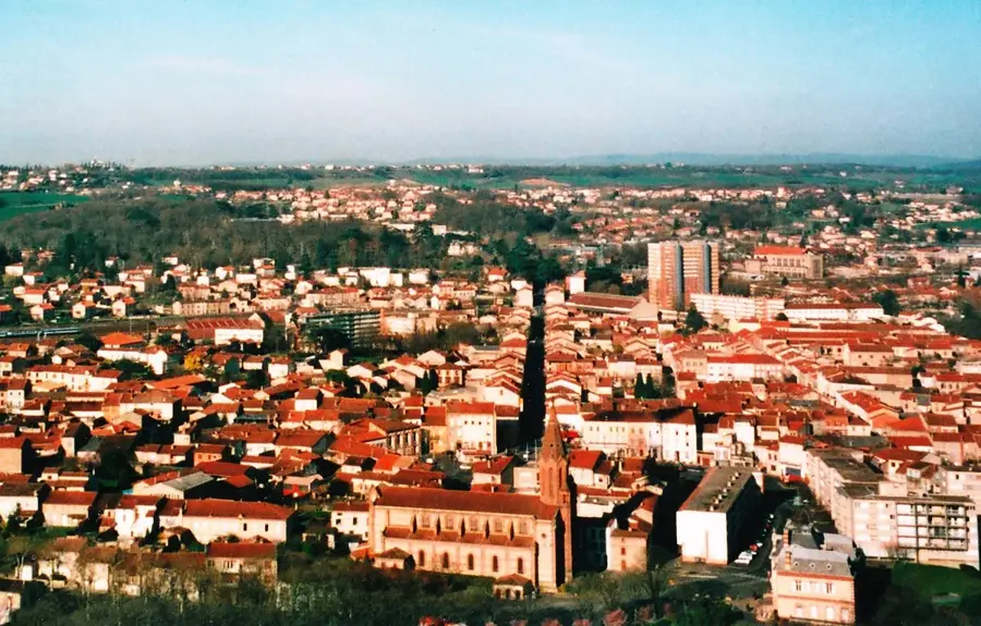
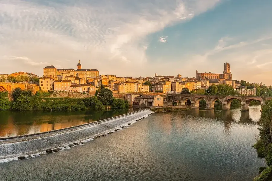
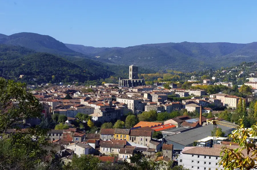
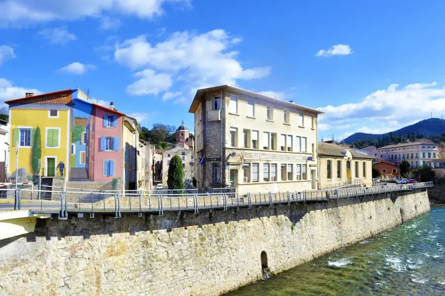
Sights nearby
💡 Tips
- The Buur Hakaba inselberg dominates the town; climbing requires a local guide and permission from elders.
- Be very mindful of your water consumption, as the town relies heavily on rainwater.
- Travel to this region usually involves coordination with local security convoys.
- Modest and conservative dress is strictly required for all visitors.
🍽 Food
A staple food of the Bay region, often eaten with milk or stew.
Fresh and nutrient-rich, available from pastoralists passing through the town.
Roasted goat meat, commonly served in local tea shops.
🛍 Shopping · 🧘 Quiet spots
A hub where pastoralists sell livestock and buy local grains.
Look for hand-carved traditional wooden milk containers (Haan).
The area immediately around the mountain gives shade and a spot to observe the landscape.
A short walk out of the settlement reveals the quiet scrubland typical of the region.
Water temperature…
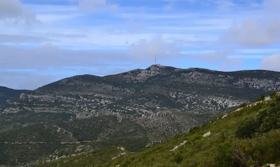
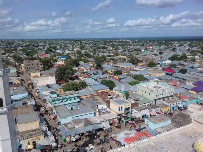
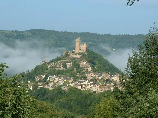
Burhakaba is a historically and geographically prominent town in the Bay region of southwestern Somalia. Its name is derived from the massive granite peak (Bur) that looms over the town, serving as a landmark visible for miles. Geographically, the town is strategically positioned on the main highway connecting Mogadishu to Baidoa, making it a vital commercial gateway. The surrounding district is renowned for its fertile soils and high yields of sorghum and peanuts. The granite outcrop is not merely a geographic feature but also holds significant cultural and historical value for the local Rahanweyn people. Burhakaba serves as a primary assembly point for agricultural goods and livestock being transported to the capital. Additionally, the area features substantial limestone deposits that support the regional construction industry. Despite the political turbulence of recent decades, Burhakaba remains a resilient economic pillar within the southern Somali landscape.
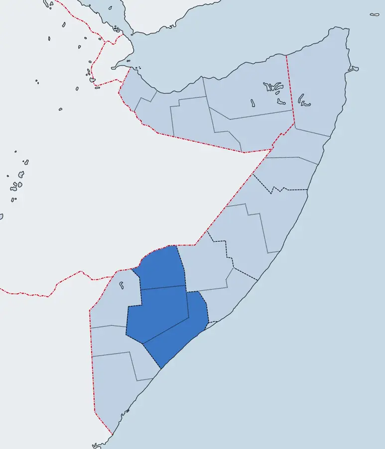
- Location: Somalia
- Nearby: Baidoa (54 km)
- Population: ~27.792 (2023)
Best time to visit & climate
The most pleasant time to visit is Jun–Aug.
| Jan | Feb | Mar | Apr | May | Jun | Jul | Aug | Sep | Oct | Nov | Dec | |
|---|---|---|---|---|---|---|---|---|---|---|---|---|
| Avg °C | 27 | 29 | 30 | 28 | 26 | 26 | 25 | 26 | 27 | 27 | 26 | 26 |
| Rain mm | 4 | 3 | 29 | 170 | 68 | 23 | 16 | 30 | 27 | 138 | 128 | 27 |
Geography
Facts
- Famous for the landmark Bur Hakaba mountain (approx. 300m).
- Key stop on the highway linking Mogadishu and Baidoa.
- A primary market for sorghum and peanuts.
- Home to significant limestone and granite deposits.
- A historical heartland for the Rahanweyn people.
- Located roughly 180 km west of Mogadishu.
Explore nearby
Notable places around
Route planner — Car & Motorhome
Where do you start? We build the route here, with stops and country notes along the way.
© OpenStreetMap contributors · OpenRouteService
Frequently asked questions
Is Buurhakaba worth a visit?
What is the best time to travel?
Are there accommodations in Buurhakaba?
Is the city safe for travelers?
Can I take photos there?
Burhakaba: where is it located?
Burhakaba: when is the best time to visit?
Burhakaba: why is it worth visiting?

Nearby cities


History & landmarks
Nature
More places