Plizio Visual Lab
Mont Caroux
Weather…
Water temperature…
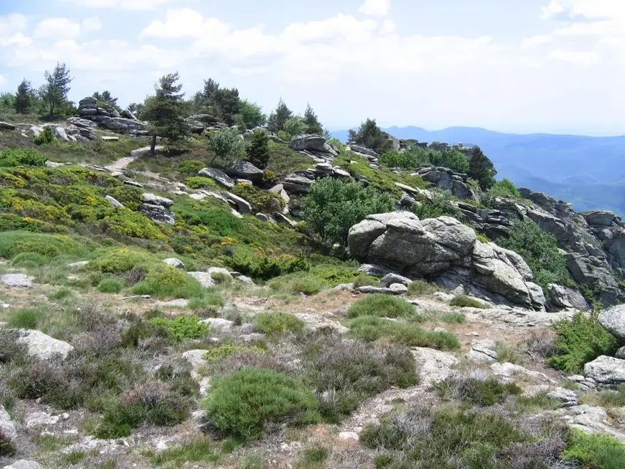
Mont Caroux is a striking mountain massif in southern France, located in the Hérault department within the Haut-Languedoc Regional Natural Park. Reaching an elevation of 1,091 meters, it stands out for its rugged, near-alpine appearance, towering over the Orb and Jaur valleys. Geologically unique, the massif is primarily composed of gneiss and granite, setting it apart from the surrounding limestone plateaus. It is famously associated with the silhouette of the 'Sleeping Woman' (La Femme allongée), a profile formed by its ridges when viewed from the south. The massif is deeply incised by the spectacular Gorges d'Héric, a canyon known for its cascading waterfalls and crystal-clear natural swimming pools. Mont Caroux is also a vital ecological sanctuary, notably hosting a large population of mouflons, which were successfully reintroduced to the area in 1956. As a premier destination for rock climbing and technical hiking, it gives a challenging terrain with panoramic panoramic views that extend to the Mediterranean coastline on clear days.
- Location: Occitanie, France
- Top sights: Maison du Mouflon · plage publique · Réserve biologique dirigée de l'Espinouse
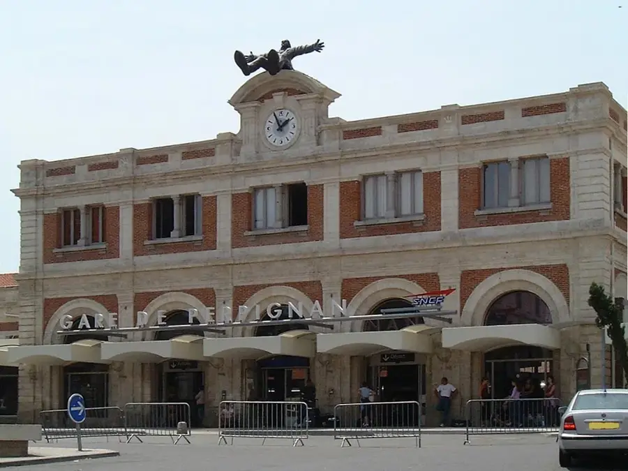
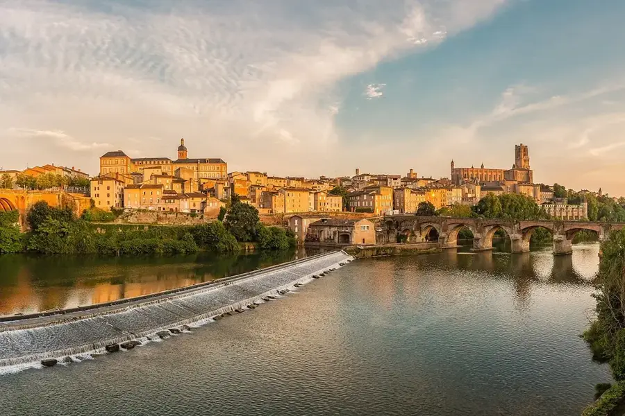
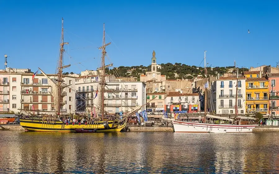
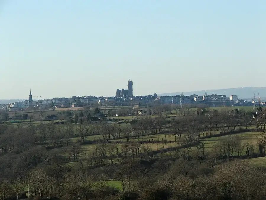
- Nearby: Bédarieux (16 km)
Best time to visit & climate
The most pleasant time to visit is Jun–Aug.
| Jan | Feb | Mar | Apr | May | Jun | Jul | Aug | Sep | Oct | Nov | Dec | |
|---|---|---|---|---|---|---|---|---|---|---|---|---|
| Avg °C | 5 | 5 | 8 | 11 | 15 | 20 | 23 | 23 | 18 | 14 | 9 | 6 |
| Rain mm | 57 | 44 | 53 | 65 | 58 | 35 | 26 | 30 | 48 | 80 | 71 | 51 |
📋 Practical info
Geography
Facts
- The peak of Mont Caroux stands at 1,091 meters above sea level.
- The gneiss formations are approximately 300 to 500 million years old.
- The Gorges d'Héric receive over 100,000 visitors annually.
- The mouflon population is one of the largest in mainland France.
- The massif marks the southernmost edge of the Massif Central.
- Hiking trails like the 'GR7' traverse the rugged plateau.
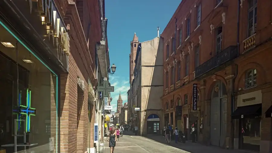
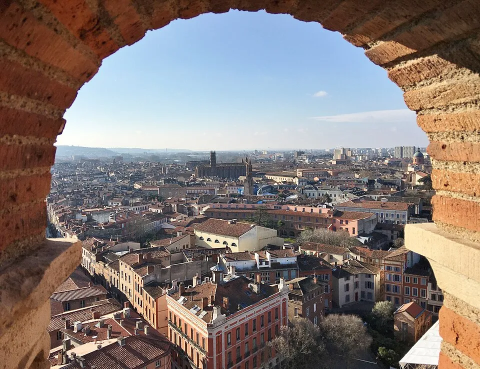
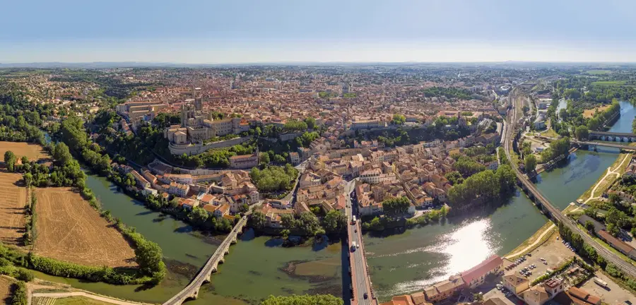
Explore nearby
Notable places around
Route planner — Car & Motorhome
Where do you start? We build the route here, with stops and country notes along the way.
© OpenStreetMap contributors · OpenRouteService
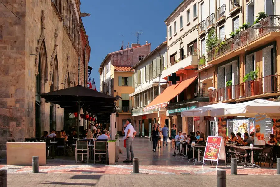
Sights in the town Mont Caroux (8)
Sights nearby
Frequently asked questions
Where is Mont Caroux located?
Why is it called 'the reclining woman'?
Which animal is often seen there?
Is hiking difficult there?
What natural beauty is at the base of the mountain?
Mont Caroux: where is it located?
Mont Caroux: what is there to see?
Mont Caroux: when is the best time to visit?
Mont Caroux: why is it worth visiting?

Nearby cities