Plizio Visual Lab
Mont Aigoual
Weather…
Water temperature…
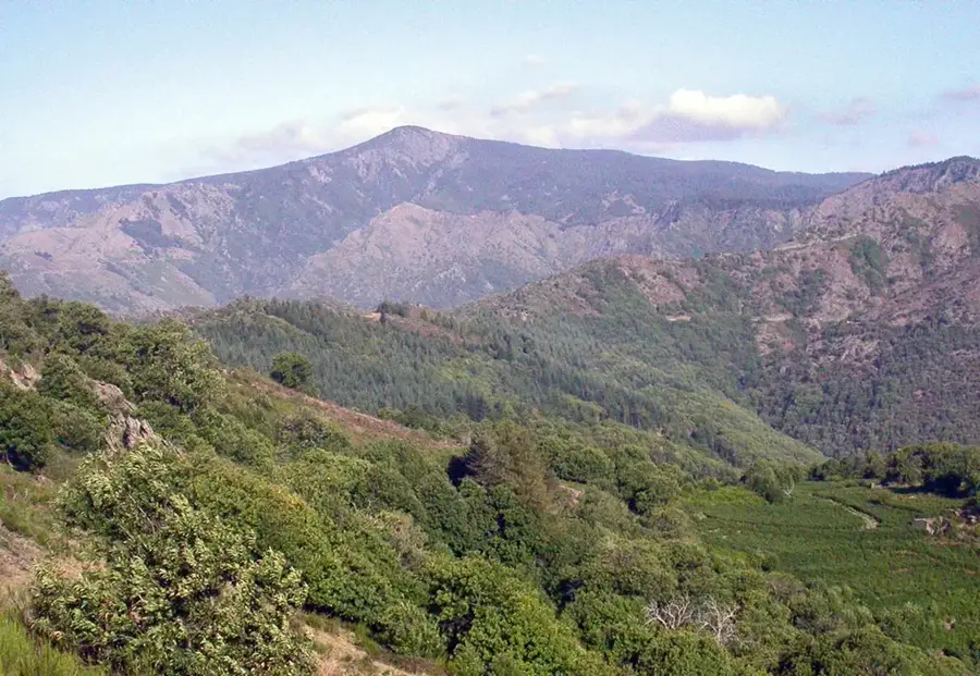
Mont Aigoual is the highest peak in the Gard department, reaching an elevation of 1,567 meters within the Massif Central. Located on the border of the Gard and Lozère departments, the mountain serves as a significant drainage divide between the Atlantic Ocean and the Mediterranean Sea. It is most famous for its meteorological observatory, constructed between 1887 and 1894, which is the last inhabited mountain weather station in France. The climatic conditions at the summit are legendary for their severity, with wind speeds occasionally exceeding 300 km/h and heavy snowfall throughout the winter. On clear days, the summit provides an extraordinary panoramic view stretching from the Alps to the Pyrenees and the Mediterranean coast. The area is integrated into the Cévennes National Park and is strictly protected to preserve its unique flora and fauna. The mountain is also a favorite destination for hikers and cyclists who challenge themselves on the steep slopes covered in dense beech and fir forests.
- Location: Occitanie, France
- Top sights: Réserve biologique intégrale de la Brèze · Menhir de Trépaloud · Le climatographe, Observatoire du Mont Aigoual
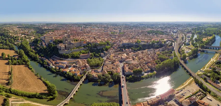
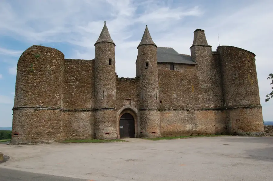
- Nearby: Mialet (29 km)
Best time to visit & climate
The most pleasant time to visit is Jun–Aug.
| Jan | Feb | Mar | Apr | May | Jun | Jul | Aug | Sep | Oct | Nov | Dec | |
|---|---|---|---|---|---|---|---|---|---|---|---|---|
| Avg °C | 3 | 4 | 7 | 11 | 14 | 19 | 22 | 22 | 18 | 13 | 8 | 4 |
| Rain mm | 70 | 56 | 63 | 81 | 76 | 49 | 34 | 39 | 67 | 120 | 108 | 70 |
📋 Practical info
Geography
Facts
- The summit elevation of Mont Aigoual is 1,567 meters.
- The meteorological observatory began operations in 1894.
- Wind speeds at the summit can exceed 300 km/h.
- The mountain acts as a watershed between the Atlantic and Mediterranean.
- Annual precipitation levels are among the highest in France.
- The area is located within the Cévennes National Park.
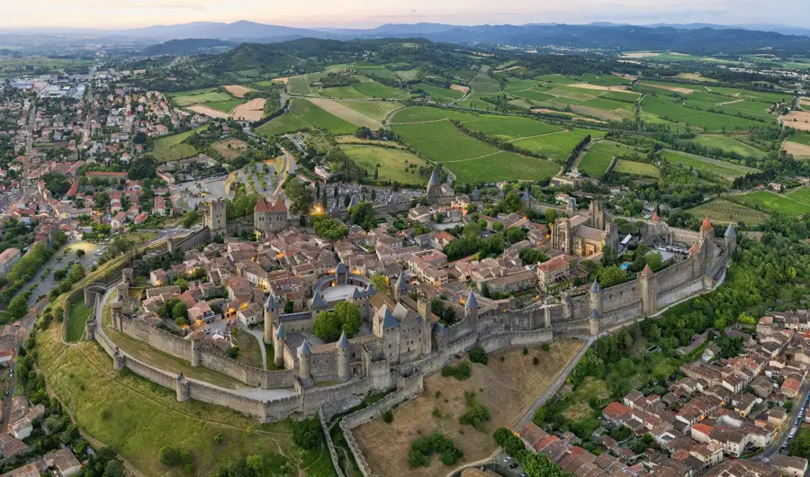
Explore nearby
Notable places around
Route planner — Car & Motorhome
Where do you start? We build the route here, with stops and country notes along the way.
© OpenStreetMap contributors · OpenRouteService
Sights in the town Mont Aigoual (5)
Le climatographe, Observatoire du Mont Aigoual🏛 museum
A weather observatory and museum dedicated to meteorology at the summit of Mont Aigoual.
Sights nearby
Frequently asked questions
What is special about the summit of Mont Aigoual?
How far can you see from the summit?
Why is the mountain famous meteorologically?
Can you drive to the summit?
Are there famous hiking trails on Mont Aigoual?
Mont Aigoual: where is it located?
Mont Aigoual: what is there to see?
Mont Aigoual: when is the best time to visit?
Mont Aigoual: why is it worth visiting?

Nearby cities