Plizio Visual Lab
Mont Saint-Baudille
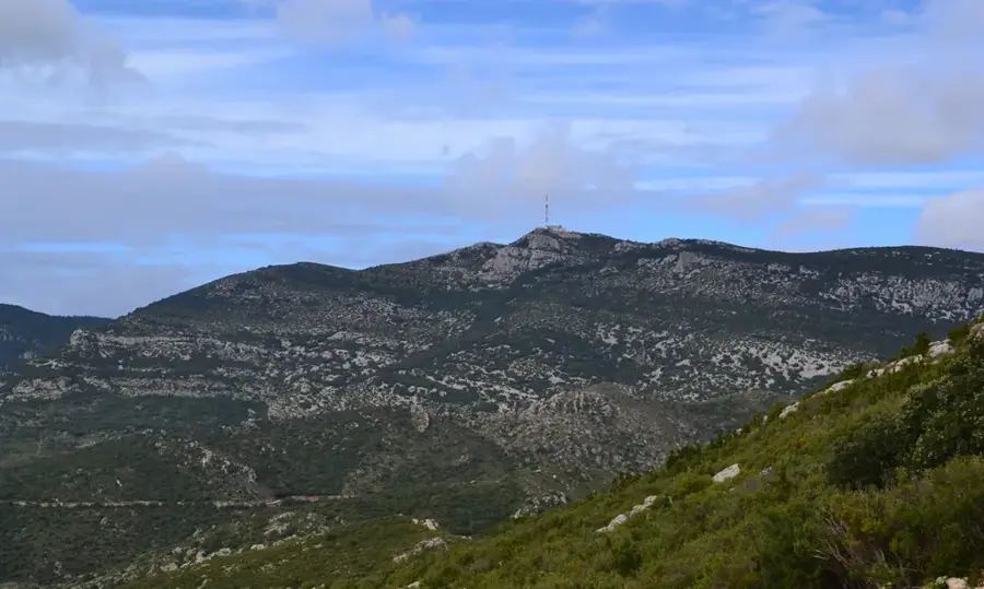
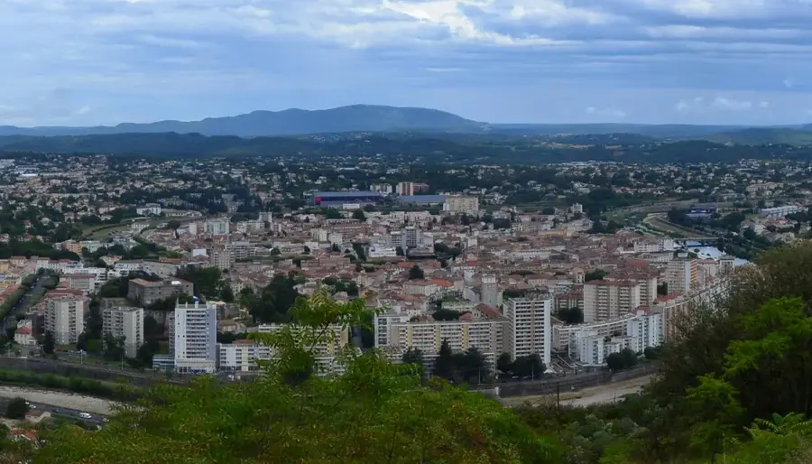
Mont Saint-Baudille is a prominent peak situated on the southern edge of the Larzac plateau in the Hérault department. Standing at 848 meters above sea level, it towers over the surrounding coastal plain and marks the southernmost extent of the Cévennes range. The mountain is best known for its strategic vantage point, offering an unobstructed panoramic view of the Languedoc region, the Gulf of Lion, and, on clear days, as far as the Pyrenees. Its summit is crowned by a high-power television and telecommunications transmitter that serves the Montpellier metropolitan area. Geologically, Mont Saint-Baudille is composed of Jurassic limestone, characteristic of the karst landscapes of southern France. The vegetation is sparse, consisting mainly of scrubby garrigue and exposed rock, making the ascent a unique experience for hikers and cyclists. The peak acts as a vital navigational landmark for the region and is accessible via a steep road that is a favored challenge for amateur cyclists.
- Location: Occitanie, France
- Top sights: Dolmen du Bois de la Sourde · Menhir du Bois de la Sourde · Église Saint-Laurent
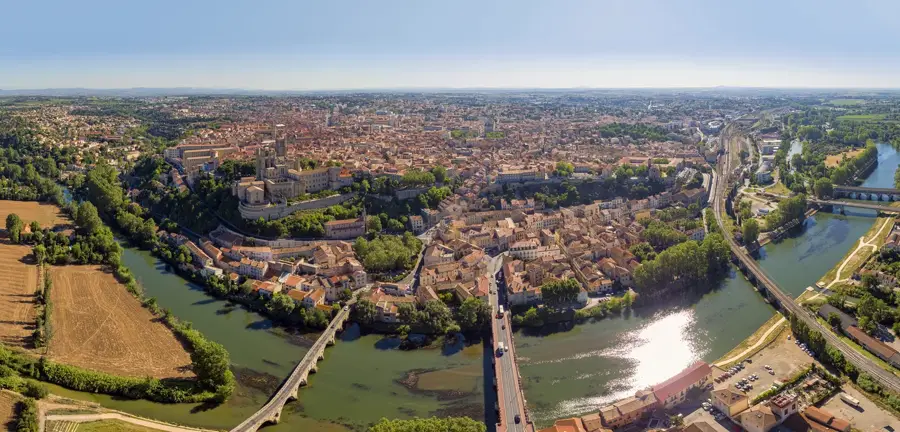
- Nearby: Saint-André-de-Sangonis (8 km)
Best time to visit & climate
The most pleasant time to visit is Jun, Aug, Sep.
| Jan | Feb | Mar | Apr | May | Jun | Jul | Aug | Sep | Oct | Nov | Dec | |
|---|---|---|---|---|---|---|---|---|---|---|---|---|
| Avg °C | 7 | 7 | 10 | 13 | 17 | 22 | 25 | 24 | 20 | 16 | 11 | 8 |
| Rain mm | 52 | 39 | 48 | 59 | 49 | 30 | 20 | 25 | 51 | 82 | 73 | 47 |
📋 Practical info
Geography
Facts
- The peak reaches an altitude of 848 meters.
- It hosts a 70-meter-tall telecommunications mast.
- It marks the southern terminus of the Grands Causses region.
- Provides views of the Pyrenees, over 200 km away, in clear weather.
- The mountain is primarily composed of Jurassic limestone.
- A popular spot for paragliding due to strong thermal updrafts.
Explore nearby
Notable places around
Route planner — Car & Motorhome
Where do you start? We build the route here, with stops and country notes along the way.
© OpenStreetMap contributors · OpenRouteService
Sights in the town Mont Saint-Baudille (10)
Dolmen de la Croix de l'Yeuse
A megalith in the Hérault department, France, a prehistoric burial chamber.
Abris sous roche
Rock shelters used as natural refuges, now ruins.
Bergerie de Cabanou
Ruins of a sheepfold near Mont Saint-Baudille.
Canyon du Diable
A canyon in the Mont Saint-Baudille area, a natural formation.
Table d'orientation du Mont Saint-Baudille
An orientation table on Mont Saint-Baudille summit, offering panoramic views.
Mont Saint-Baudille
A mountain in France, a prominent peak of the region.
Sights nearby
Frequently asked questions
How high is Mont Saint-Baudille?
Can you drive to the summit?
What view do you get from the top?
Where does the hiking trail to the mountain start?
Which mountain range does it belong to?
Mont Saint-Baudille: where is it located?
Mont Saint-Baudille: what is there to see?
Mont Saint-Baudille: when is the best time to visit?
Mont Saint-Baudille: why is it worth visiting?

Nearby cities