Plizio Visual Lab
Causses
Weather…
Water temperature…
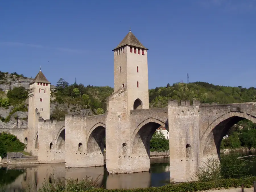
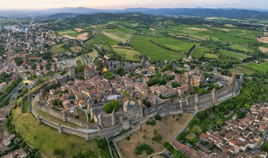
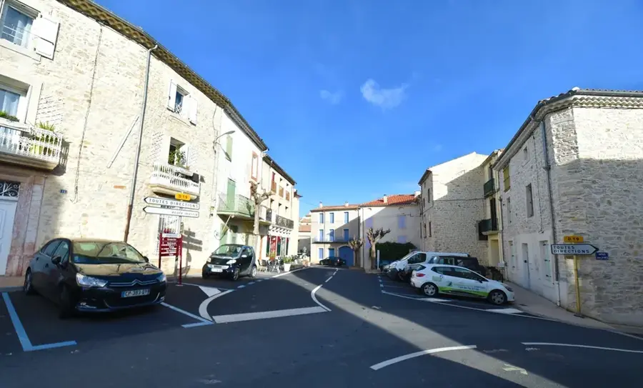
The Causses are a series of high limestone plateaus in the southern Massif Central of France, distinguished by their stark, semi-arid landscapes and profound geological features. Elevating between 700 and 1,200 meters, these plateaus, including the Grands Causses like Larzac and Méjean, are deeply incised by spectacular river canyons such as the Gorges du Tarn. The geology is fundamentally karstic; rainwater quickly disappears through fissures in the limestone, creating vast underground networks of caves and sinkholes while leaving the surface dry. This environment has dictated a unique pastoral economy centered on sheep farming, which has endured for over three millennia and provides the milk for the world-renowned Roquefort cheese. In 2011, the Causses and the neighboring Cévennes were designated a UNESCO World Heritage site, honoring the cultural landscape of Mediterranean agro-pastoralism. The region is characterized by sparse vegetation, traditional dry-stone architecture, and a profound sense of isolation and wilderness.
- Location: Occitanie, France
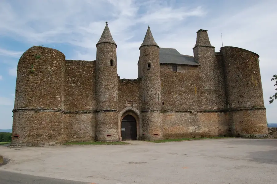
- Top sights: Dolmen Roc de la Truque · Établissement rural du haut moyen age : les Aouzéras · Plage communale
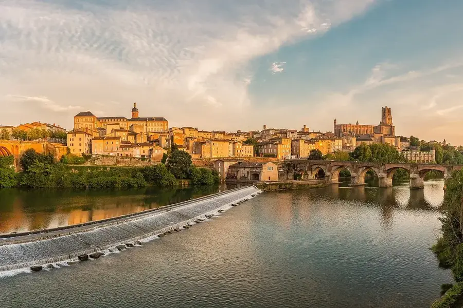
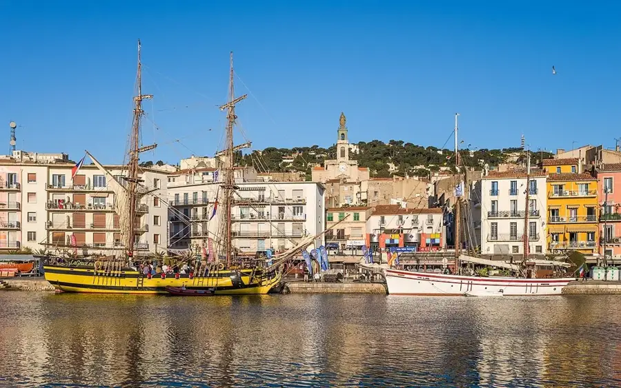
- Nearby: Marvejols (28 km)
Best time to visit & climate
The most pleasant time to visit is Jun–Aug.
| Jan | Feb | Mar | Apr | May | Jun | Jul | Aug | Sep | Oct | Nov | Dec | |
|---|---|---|---|---|---|---|---|---|---|---|---|---|
| Avg °C | 1 | 1 | 4 | 8 | 11 | 16 | 19 | 18 | 14 | 10 | 5 | 1 |
| Rain mm | 69 | 55 | 61 | 82 | 87 | 61 | 52 | 54 | 74 | 120 | 113 | 75 |
📋 Practical info
Geography
Facts
- The Causses and Cévennes cover over 300,000 hectares of UNESCO land.
- The region is home to the Millau Viaduct, one of the highest bridges in the world.
- Aven Armand cave contains a forest of over 400 unique stalagmites.
- Sheep milk production is strictly regulated for the Roquefort AOC.
- The 'chaos de Montpellier-le-Vieux' is a natural labyrinth of rock formations.
- The plateaus are largely composed of middle and upper Jurassic limestone.
Explore nearby
Notable places around
Route planner — Car & Motorhome
Where do you start? We build the route here, with stops and country notes along the way.
© OpenStreetMap contributors · OpenRouteService
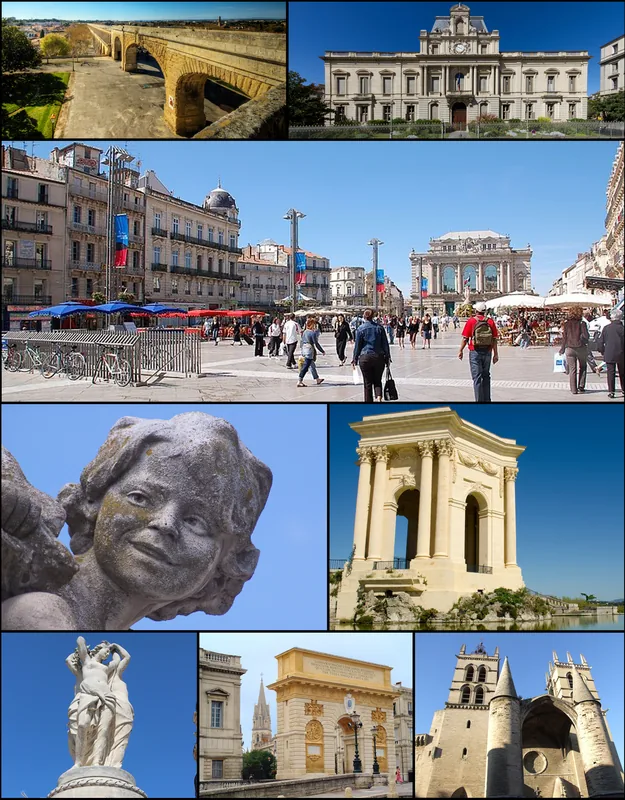
Sights in the town Causses (7)
Sights nearby
Frequently asked questions
What are the 'Causses'?
Which gorge is the most famous?
Why are they on the UNESCO list?
Which cheese comes from this region?
Is hiking there strenuous?
Causses: where is it located?
Causses: what is there to see?
Causses: when is the best time to visit?
Causses: why is it worth visiting?

Nearby cities