Plizio Visual Lab
Dinsoor

ℹ️Practical info — Dinsoor
▾
🌤 Weather — 5 days
📍 Nearby
Sights nearby
💡 Tips
- The market is most active in the early morning, handy to see the fresh sorghum trade.
- Wear light, breathable clothing due to the dry, hot climate.
- Respect local Islamic dress codes; modest clothing is recommended.
- Bring plenty of cash as card payments are uncommon.
🍽 Food
Look for this Somali flatbread at local street stalls, often eaten for breakfast.
Often offered fresh at the morning market and is an important local staple.
Enjoy this spiced tea in small tea shops around the main square.
🛍 Shopping · 🧘 Quiet spots
The city's main trading hub for grains and spices.
Small stalls in the center often sell locally woven goods.
A late afternoon walk near the expansive agricultural areas has peace.
Outside prayer times, the courtyards often provide a shaded, quiet spot (proper attire required).
Water temperature…
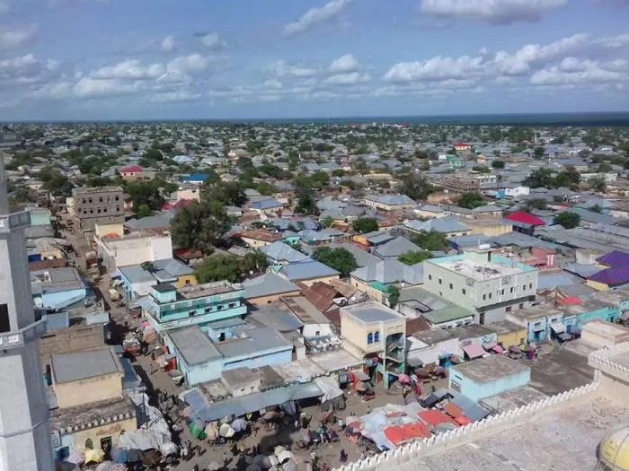
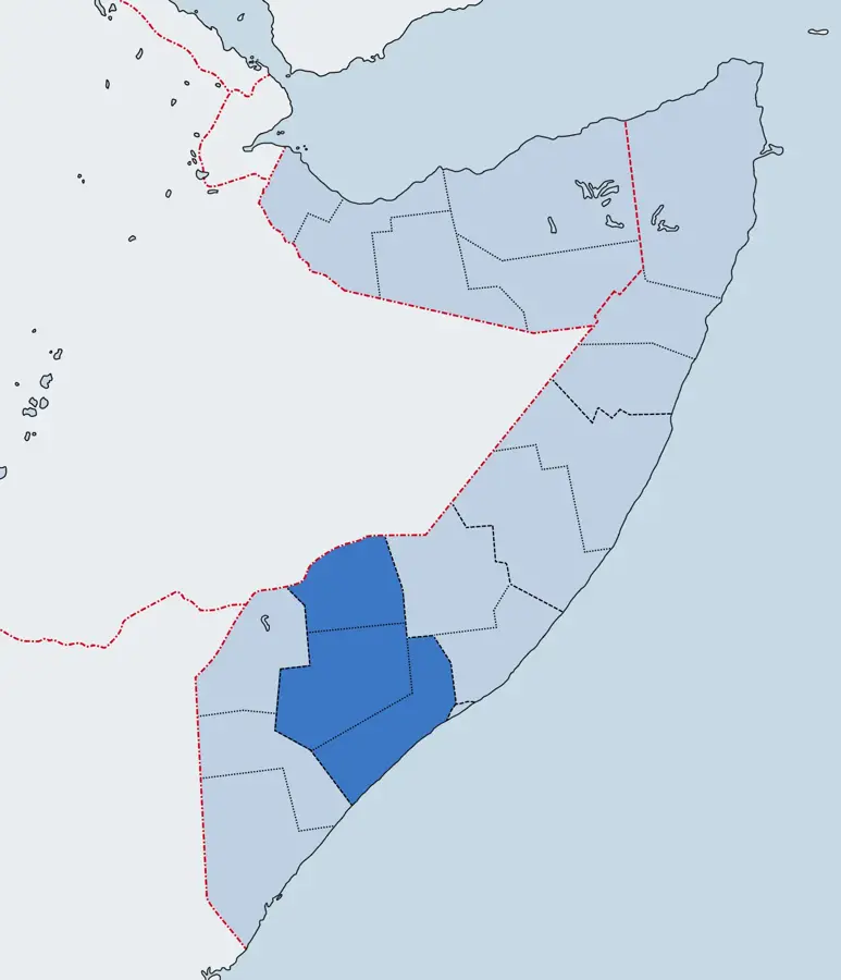
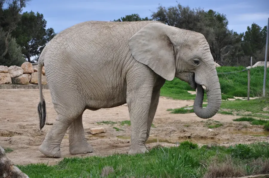
Dinsoor is a significant town in the Bay region of southwestern Somalia, serving as the administrative headquarters of the Dinsoor District. The town is situated in a semi-arid zone characterized by rolling plateaus and hills, making it a prime location for extensive livestock rearing. Dinsoor is well-known for its animated livestock market, where camels and goats are traded for both local consumption and international export via major ports. In addition to pastoralism, rain-fed agriculture is a cornerstone of the local economy, with sorghum being the primary crop cultivated during the monsoon seasons. Historically, Dinsoor functioned as a strategic waypoint on caravan routes connecting the Somali interior with coastal trading posts. Over recent decades, the town has undergone notable demographic shifts due to regional instability and climatic challenges. Nevertheless, it continues to be a vital economic and cultural hub for the pastoralist and farming communities of the Bay region.
- Location: Somalia
- Nearby: Qansahdhere (43 km)
- Population: ~20.000 (2021)
Best time to visit & climate
The most pleasant time to visit is Jun–Aug.
| Jan | Feb | Mar | Apr | May | Jun | Jul | Aug | Sep | Oct | Nov | Dec | |
|---|---|---|---|---|---|---|---|---|---|---|---|---|
| Avg °C | 28 | 29 | 30 | 28 | 26 | 26 | 26 | 26 | 27 | 27 | 26 | 27 |
| Rain mm | 5 | 3 | 32 | 175 | 81 | 29 | 15 | 25 | 20 | 125 | 144 | 36 |
Geography
Facts
- Located about 120 km southwest of Baidoa.
- Administrative center of the Dinsoor District in the Bay region.
- Major hub for the trade and export of camels and goats.
- Sorghum is the primary crop produced via rain-fed farming.
- The region is famous for its traditional water catchments (Uars).
- Situated at an average elevation of 350 meters above sea level.
Explore nearby
Notable places around
Route planner — Car & Motorhome
Where do you start? We build the route here, with stops and country notes along the way.
© OpenStreetMap contributors · OpenRouteService
Frequently asked questions
How many days should I plan for a visit to Diinsoor?
When is the best time of year to visit Diinsoor?
What is the best way to get to Diinsoor?
What local specialty must I try in Diinsoor?
Is Diinsoor a family-friendly destination?
Dinsoor: where is it located?
Dinsoor: when is the best time to visit?
Dinsoor: why is it worth visiting?

Nearby cities


More places