Plizio Visual Lab
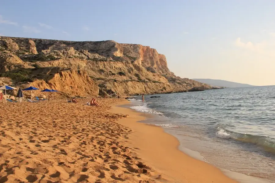
Tetere Beach
Weather…
Water temperature…
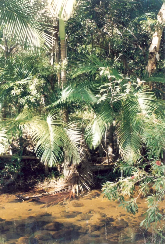
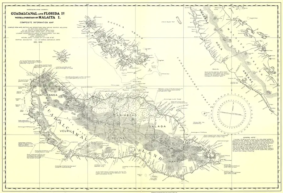
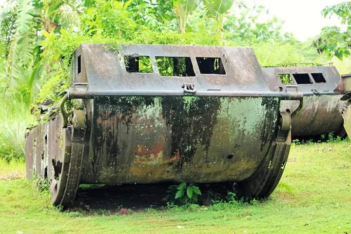
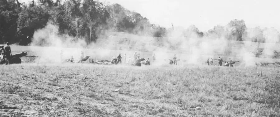
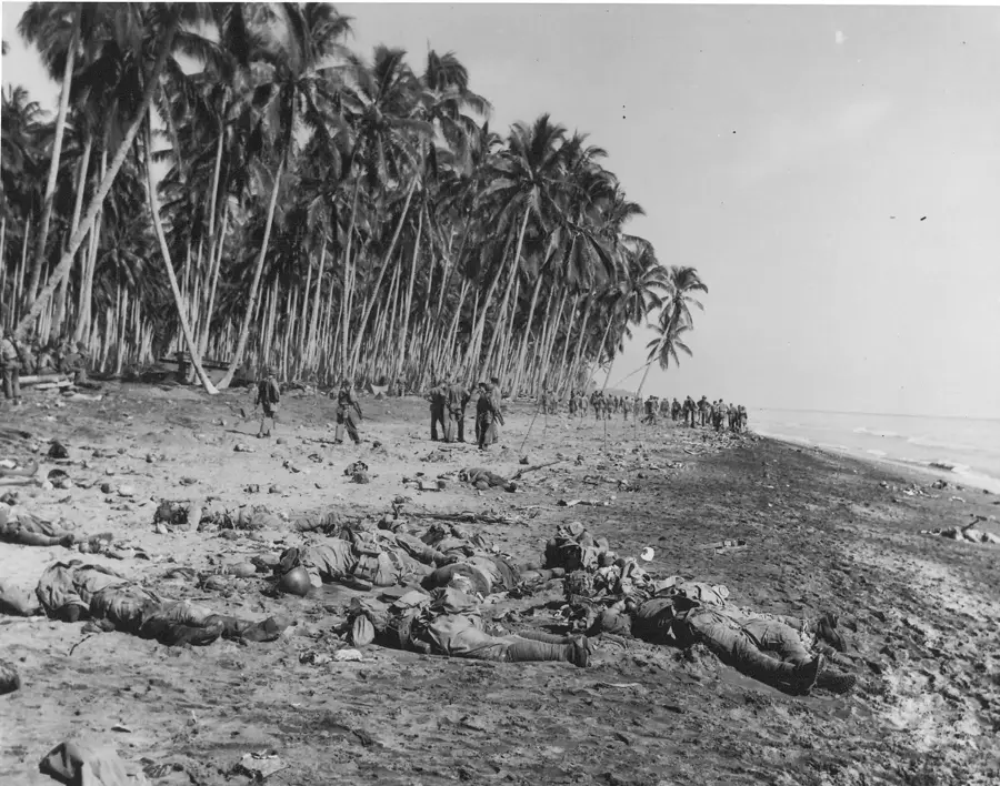
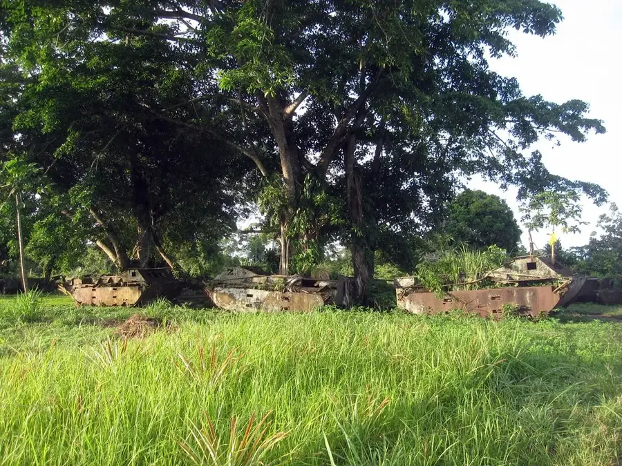
Tetere Beach, located on the northern coast of Guadalcanal approximately 30 kilometers east of Honiara, served as a crucial logistical hub for Allied forces following the initial invasion. In 1943, the US military established a base and a fighter airstrip here to support ongoing operations in the central Solomon Islands. The beach is particularly famous for housing a massive depot of Landing Vehicle Tracked (LVT) amphibians, which were essential for island-hopping campaigns. At the end of the war, dozens of these vehicles were abandoned in the coastal jungle, where they remain to this day. Currently, Tetere Beach is a serene location, but the thick vegetation behind the shoreline hides a vast 'machinery graveyard' of rusting LVT-4 tanks. These relics represent one of the most significant collections of unrecovered World War II military hardware in the South Pacific, attracting historians and curious travelers alike.
- Location: Solomon Islands
- Nearby: Koli (7 km)
Best time to visit & climate
The most pleasant time to visit is Jul–Sep.
| Jan | Feb | Mar | Apr | May | Jun | Jul | Aug | Sep | Oct | Nov | Dec | |
|---|---|---|---|---|---|---|---|---|---|---|---|---|
| Avg °C | 27 | 26 | 26 | 26 | 26 | 26 | 26 | 26 | 26 | 26 | 27 | 27 |
| Rain mm | 263 | 305 | 277 | 220 | 214 | 143 | 135 | 114 | 107 | 160 | 167 | 221 |
📋 Practical info
Geography
Facts
- There are over 20 abandoned LVT amphibious vehicles scattered in the jungle.
- The US military airstrip at Tetere was officially designated as Fighter Strip No. 4.
- The beach was used as a training ground for amphibious assaults later in the war.
- It is situated near the mouth of the Metapona River on North Guadalcanal.
- Most of the remaining vehicles are LVT-4 models left behind in 1945.
- The site is considered one of the largest concentrations of WWII LVT wrecks in the world.
Explore nearby
Notable places around
Route planner — Car & Motorhome
Where do you start? We build the route here, with stops and country notes along the way.
© OpenStreetMap contributors · OpenRouteService
Sights in the town Tetere Beach (1)
Sights nearby
Frequently asked questions
Is Tetere Beach safe for swimming?
Are there toilets or restaurants there?
Is the beach accessible for people with disabilities?
Is a guide necessary for the historical site?
What is the best weather for visiting the beach?
Tetere Beach: where is it located?
Tetere Beach: when is the best time to visit?
Tetere Beach: why is it worth visiting?

Nearby cities


History & landmarks

Nature
More places