Plizio Visual Lab
Koli Point
ℹ️Practical info — Koli Point
▾
🌤 Weather — 5 days
📍 Nearby
Sights nearby
💡 Tips
- Arrange transport from Honiara in advance as public options are limited.
- Hire a local guide for the WWII historical sites, as they are often unmarked.
- Bring insect repellent and sun protection for coastal walks.
- Always ask for permission before entering private or village-owned land.
- Check local tide times if you plan to explore the beaches.
🍽 Food
Freshly caught, often sold at small stalls in the surrounding villages.
Great for refreshment, available straight from roadside vendors.
A traditional staple food that you can find at local markets.
🛍 Shopping · 🧘 Quiet spots
Support the local economy by purchasing directly from local artisans.
Buy fresh fruit directly at the simple stalls along the main road.
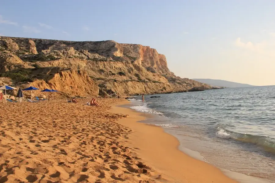
A quiet stretch of coastline, well-suited for peaceful ocean views.
Quiet and respectful places that invite reflection.
Water temperature…
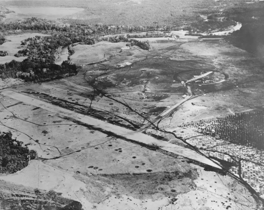
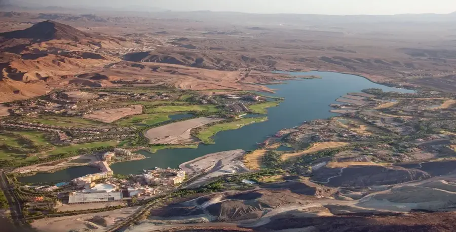
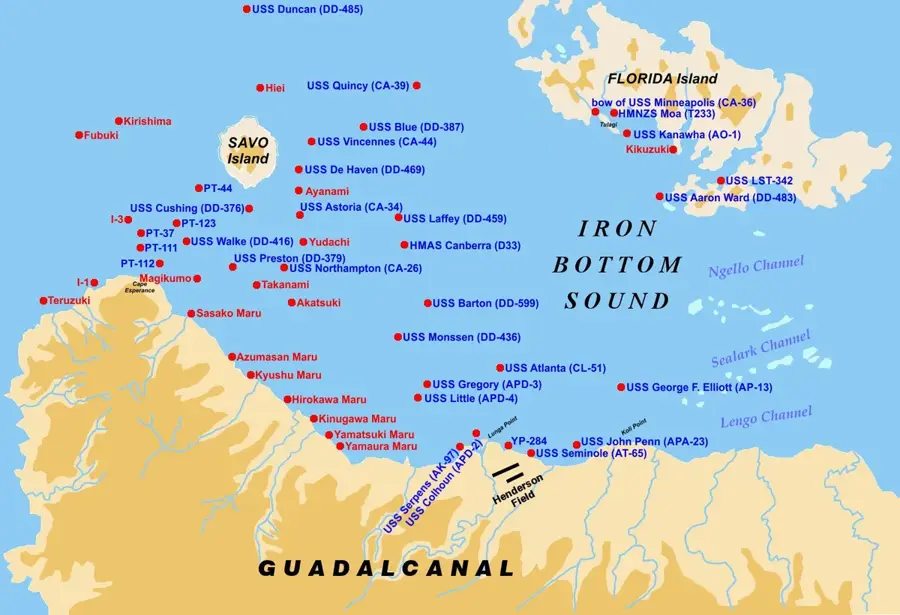
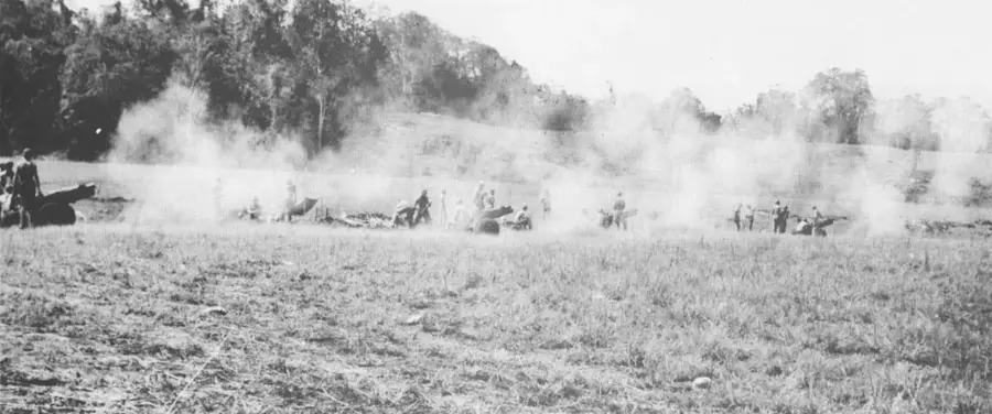
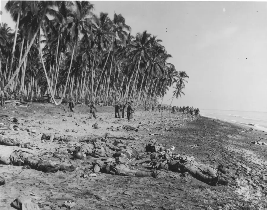
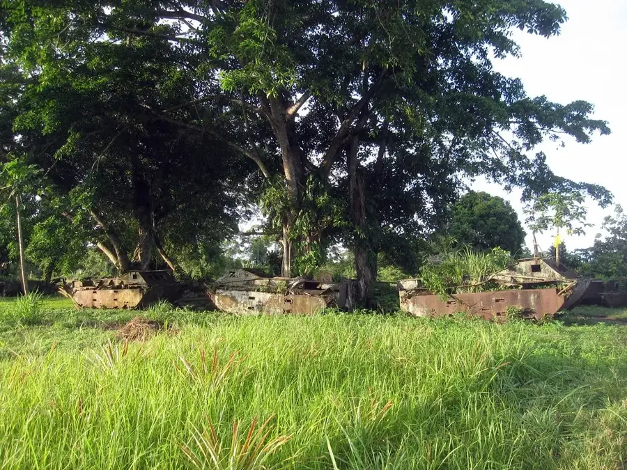
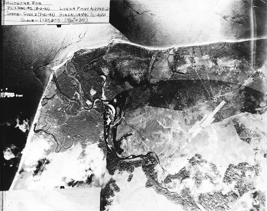
Koli Point is situated on the northern coast of Guadalcanal, east of the Lunga River mouth, representing a site of paramount military historical significance. In late 1942, this cape was the focal point of a major encirclement operation as US forces moved to trap Japanese reinforcements that had landed there. The engagements at Koli Point effectively ended Japanese offensive capabilities on the island and led to the establishment of vast US supply dumps across the level coastal terrain. Subsequently, Koli Point was transformed into one of the largest logistical hubs in the South Pacific, featuring extensive docks, roads, and storage depots that moved thousands of tons of materiel for the Allied war effort. Today, the area has returned to a largely rural state, dominated by agricultural plantations, yet the imprints of the wartime infrastructure remain etched into the landscape. The beaches at Koli Point are peaceful today, but scattered metal debris and concrete slabs serve as enduring markers of its time as the logistical backbone of the Pacific conflict.
- Location: Solomon Islands
- Nearby: Tenaru (4 km)
Best time to visit & climate
The most pleasant time to visit is Jul–Sep.
| Jan | Feb | Mar | Apr | May | Jun | Jul | Aug | Sep | Oct | Nov | Dec | |
|---|---|---|---|---|---|---|---|---|---|---|---|---|
| Avg °C | 27 | 26 | 26 | 26 | 26 | 26 | 26 | 26 | 26 | 26 | 27 | 27 |
| Rain mm | 263 | 305 | 277 | 220 | 214 | 143 | 135 | 114 | 107 | 160 | 167 | 221 |
Geography
Facts
- Koli Point was the site of the Japanese landing of the 230th Infantry Regiment in November 1942.
- The area was later nicknamed 'Million Dollar Point' (not to be confused with Vanuatu's) due to the sheer volume of supplies.
- Extensive 'pier-head' docks were constructed here to handle trans-Pacific cargo ships.
- Evidence of Marsden matting used for roads and runways can still be found in local villages.
- Koli Point currently marks the eastern boundary of the heavy industrial zone near Honiara.
- The coastline near Koli Point is a well-known location for local beach combing and relic hunting.
Explore nearby
Notable places around
Route planner — Car & Motorhome
Where do you start? We build the route here, with stops and country notes along the way.
© OpenStreetMap contributors · OpenRouteService
Frequently asked questions
What is Koli Point today?
Can one visit the history?
How is the best way to travel?
Is it suitable for families?
When is the best visit time?
Koli Point: where is it located?
Koli Point: when is the best time to visit?
Koli Point: why is it worth visiting?

Nearby cities


History & landmarks

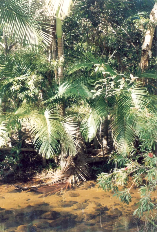
Nature
More places