Plizio Visual Lab
Lunga River
Weather…
Water temperature…
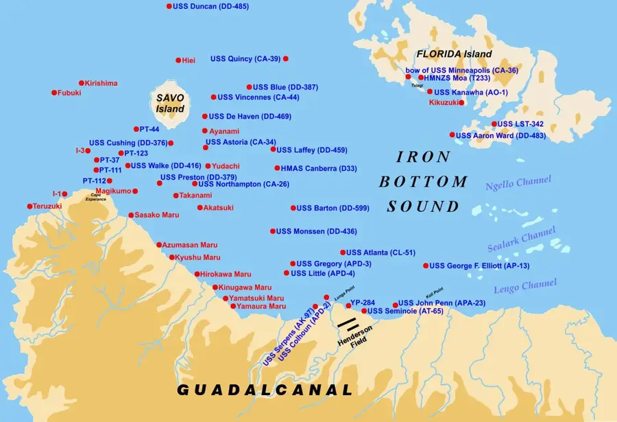
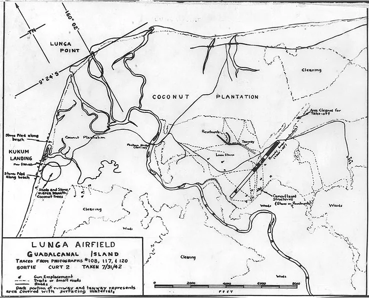
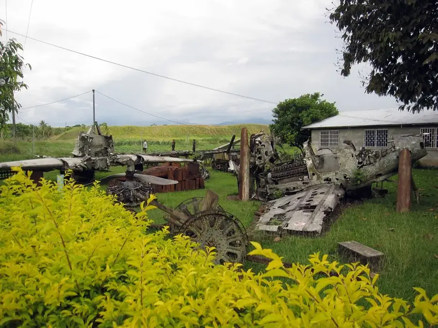
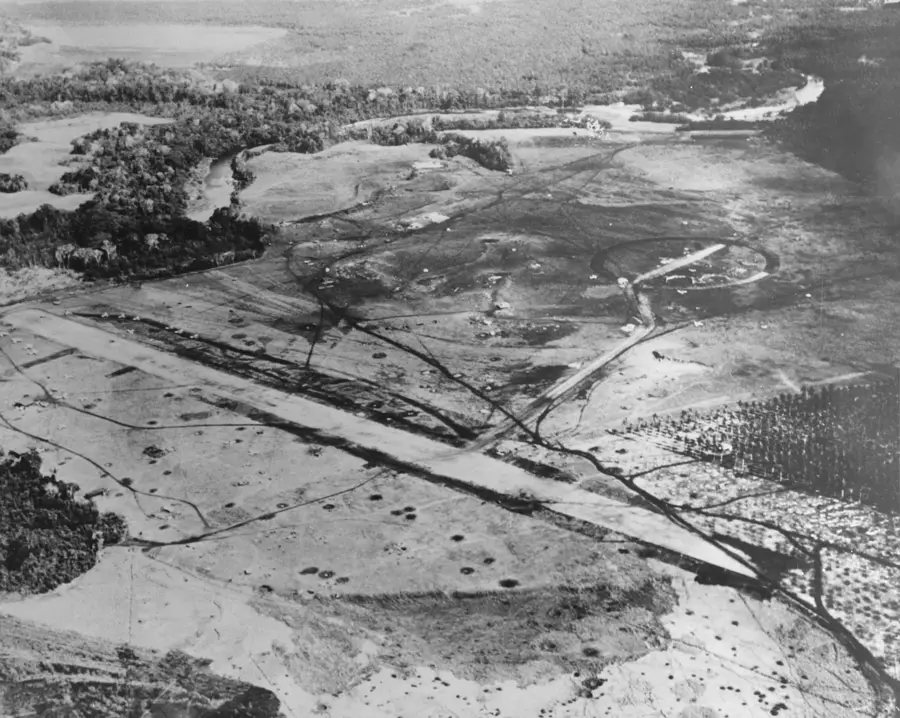
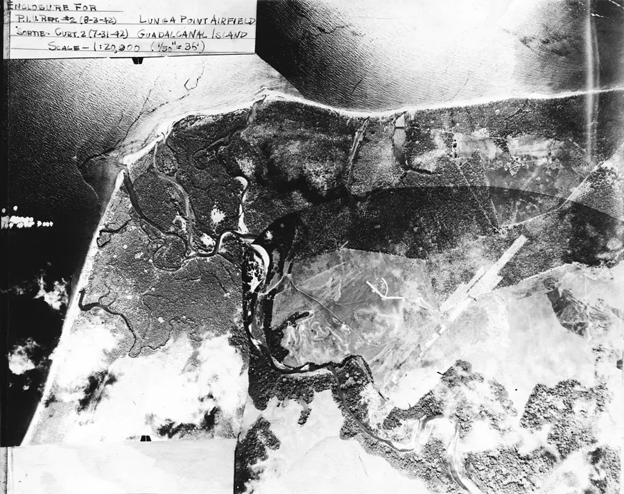
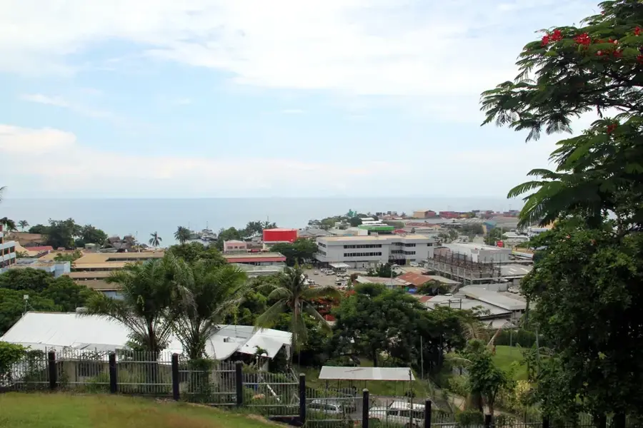
The Lunga River is a significant waterway on Guadalcanal Island that empties into the Iron Bottom Sound and achieved major strategic importance during World War II. The river's mouth and the surrounding alluvial plains were the sites of some of the most ferocious combat during the Guadalcanal Campaign in 1942. The area is particularly famous due to its proximity to Henderson Field, the strategically vital airfield that was the focus of intense fighting for several months. Japanese forces made multiple attempts to cross the river and breach Allied defensive lines, resulting in bloody engagements such as the Battle of the Tenaru (which occurred near the Lunga's mouth despite its common misnomer). Today, the Lunga River remains a vital geographic feature, supporting local agriculture and providing a necessary water source for nearby communities. War-era relics are still occasionally discovered along its banks, serving as a reminder of the site's historical weight. The river's natural hydrology often causes significant flooding during heavy rains, impacting the infrastructure of the nearby capital, Honiara. For historians and tourists alike, the Lunga delta is a key site for reflecting on the pivotal battles of the Pacific Theater.
- Location: Solomon Islands
- Nearby: Point Cruz Business District (8 km)
Best time to visit & climate
The most pleasant time to visit is Jul–Sep.
| Jan | Feb | Mar | Apr | May | Jun | Jul | Aug | Sep | Oct | Nov | Dec | |
|---|---|---|---|---|---|---|---|---|---|---|---|---|
| Avg °C | 27 | 26 | 26 | 26 | 26 | 26 | 26 | 26 | 26 | 26 | 27 | 27 |
| Rain mm | 263 | 305 | 277 | 220 | 214 | 143 | 135 | 114 | 107 | 160 | 167 | 221 |
📋 Practical info
Geography
Facts
- The Lunga River originates in the mountains of central Guadalcanal.
- Lunga Point was the site of the first US Marine headquarters on the island.
- The battle near the river's mouth resulted in hundreds of casualties.
- The area around the river was secured by US forces in August 1942.
- The river is prone to extreme flash flooding during tropical storms.
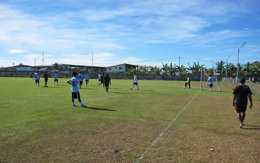
- A major industrial zone for Honiara is now located near the river mouth.
Explore nearby
Notable places around
Route planner — Car & Motorhome
Where do you start? We build the route here, with stops and country notes along the way.
© OpenStreetMap contributors · OpenRouteService
Sights in the town Lunga River (1)
Sights nearby
Frequently asked questions
Is Lunga River safe for swimming?
What is the weather like at Lunga River?
Are there paths along the river?
Can you fish there?
Do I need parking?
Lunga River: where is it located?
Lunga River: when is the best time to visit?
Lunga River: why is it worth visiting?

Nearby cities


History & landmarks


More places