Plizio Visual Lab
Soča River
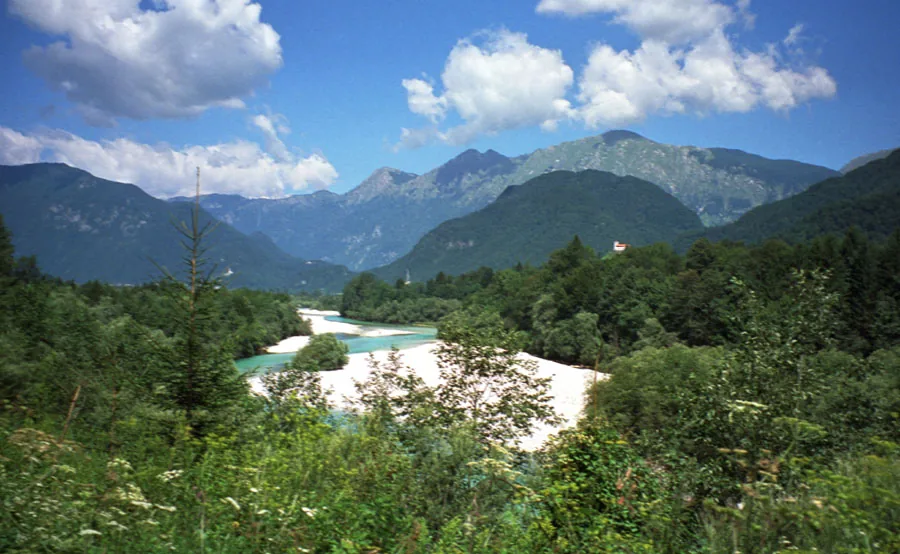
The Soča is a 138-kilometer-long river originating in the Julian Alps, world-renowned for its distinct emerald-green waters. Its source is located in the Trenta Valley at an elevation of 876 meters, fed by subterranean karst springs beneath Mount Jalovec. The river flows through western Slovenia and northeastern Italy, where it is known as the Isonzo, before emptying into the Gulf of Trieste. Historically, the valley gained notoriety as the site of the Isonzo Front during World War I, documented today in various local museums and monuments. Ecologically, the river is the primary habitat of the rare marble trout, an endemic species strictly protected in the region. Its limestone gorges and crystal-clear rapids make the Soča one of Europe's most popular destinations for whitewater sports like rafting and kayaking.
- Location: Slovenia
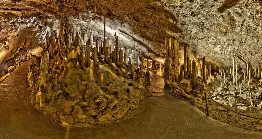
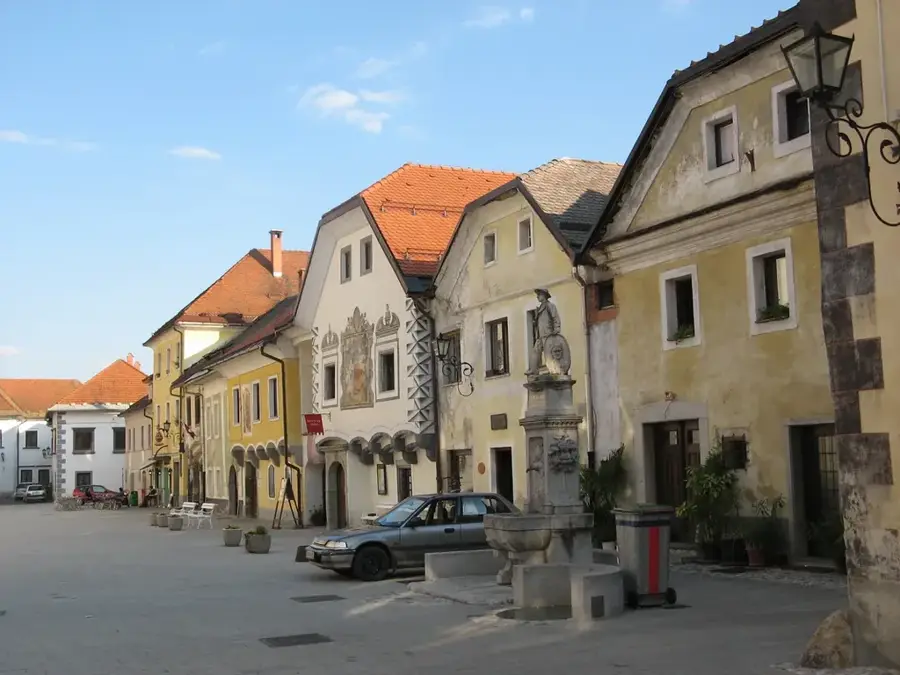
- Top sights: Žičnica Golobar · Trdnjava Kluže · Fort Hermann
- Nearby: Trenta (14 km)
Best time to visit & climate
The most pleasant time to visit is Jun–Aug.
| Jan | Feb | Mar | Apr | May | Jun | Jul | Aug | Sep | Oct | Nov | Dec | |
|---|---|---|---|---|---|---|---|---|---|---|---|---|
| Avg °C | -4 | -3 | 2 | 6 | 11 | 15 | 17 | 17 | 12 | 8 | 3 | -2 |
| Rain mm | 58 | 66 | 74 | 83 | 110 | 120 | 125 | 140 | 130 | 118 | 119 | 85 |
📋 Practical info
Geography
Facts
- The river has a total length of 138 kilometers.
- The source is located at an elevation of 876 meters in Trenta.
- In Italy, the river is known as the Isonzo.
- The river is home to the rare and endemic marble trout.
- A total of 12 battles took place here during World War I.
- The river empties into the Adriatic Sea in Italy.
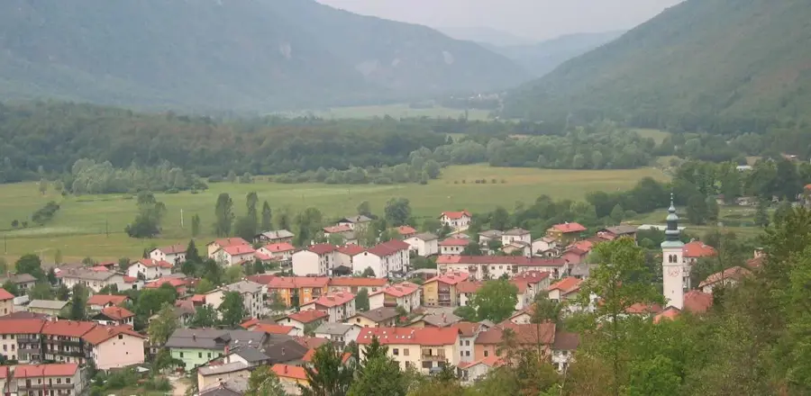
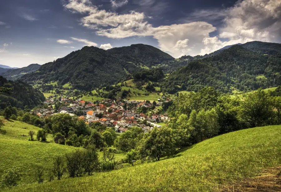
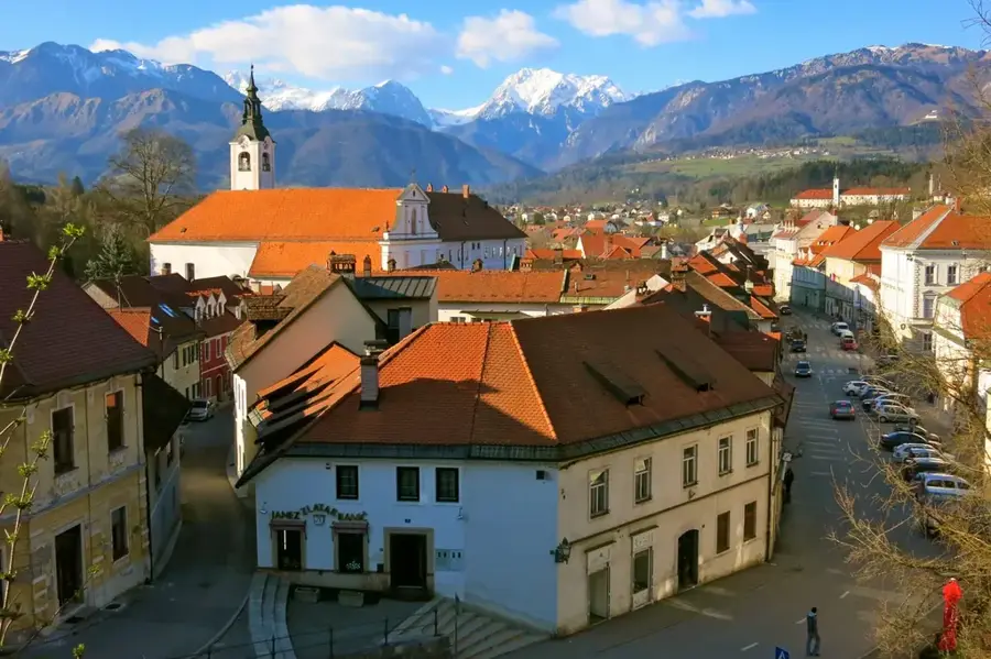
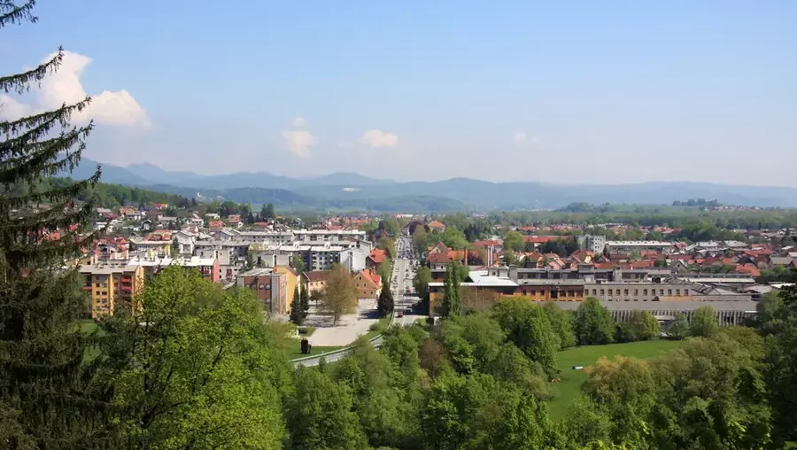
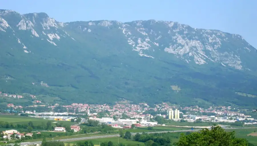
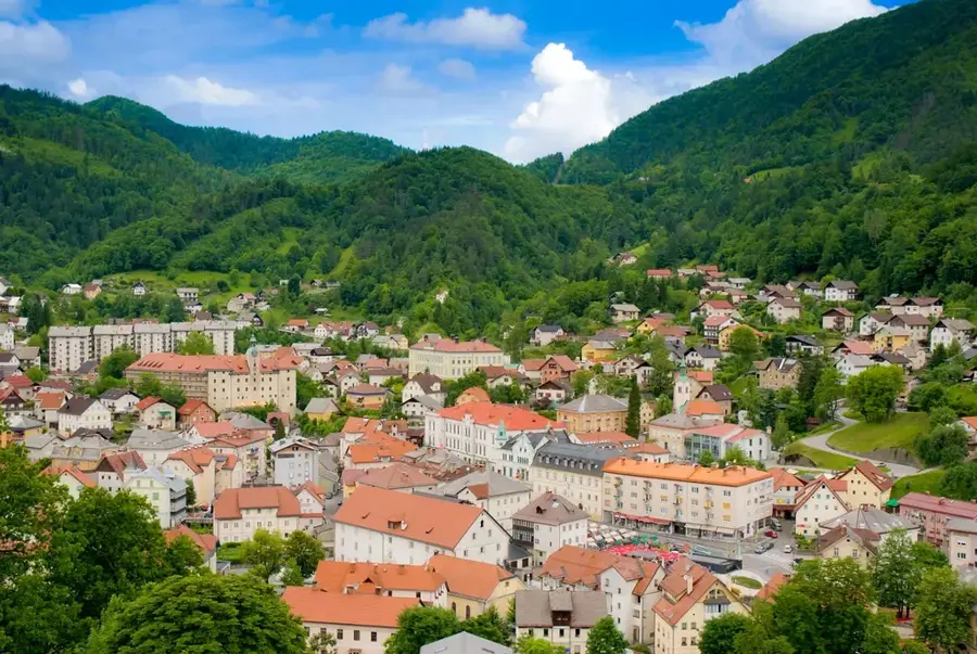
Explore nearby
Notable places around
Route planner — Car & Motorhome
Where do you start? We build the route here, with stops and country notes along the way.
© OpenStreetMap contributors · OpenRouteService
Sights in the town Soča River (5)
Sights nearby
Frequently asked questions
Why does the Soča have that emerald green color?
Can you swim in the Soča?
What sports are popular on the river?
Where is the most beautiful part of the Soča?
Are there hiking trails along the river?
Soča River: where is it located?
Soča River: what is there to see?
Soča River: when is the best time to visit?
Soča River: why is it worth visiting?

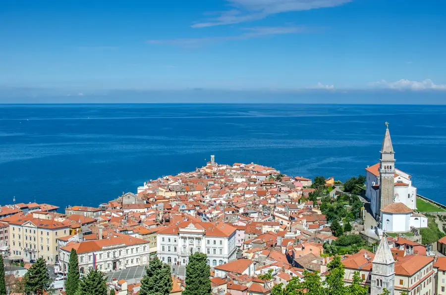
Nearby cities

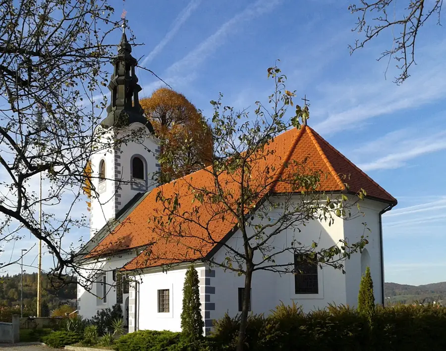
History & landmarks